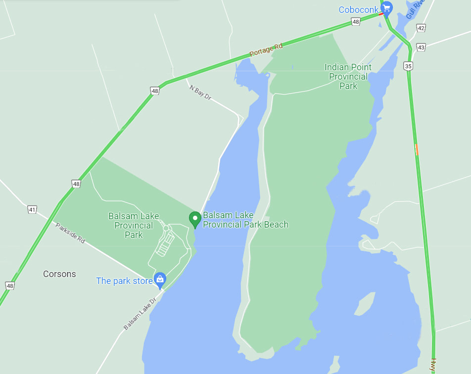
Indian Point Provincial Park
|
Rating: ★★★★★★★☆☆☆
Contact Balsam Lake Provincial Park R.R. 1, Kirkfield, ON, KOM 2BO for any information on Indian Point Provincial Park since it does not have an office of it's own. (705) 454-3324 Campsites: None. No camping allowed and no fires allowed Lakes: Balsam Lake borders the eastern shore boundary. |
Blog Entry: - Point The Way To Indian Point (October 2022)

Description:
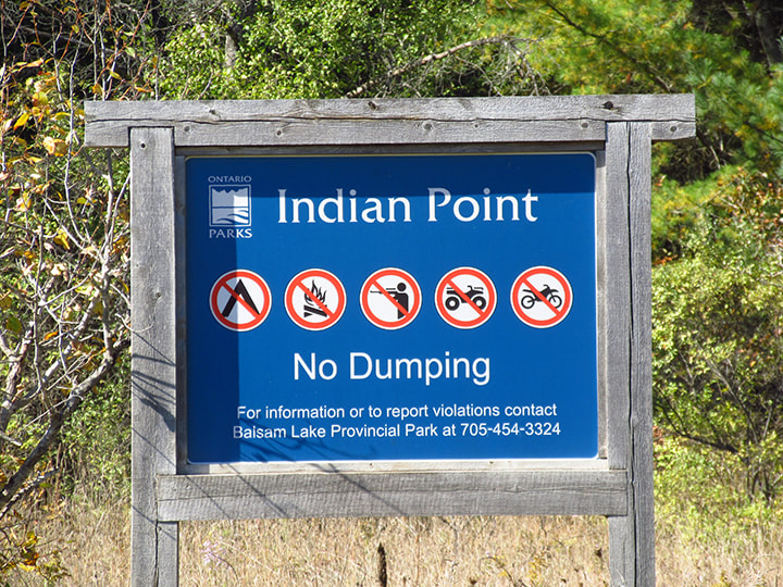
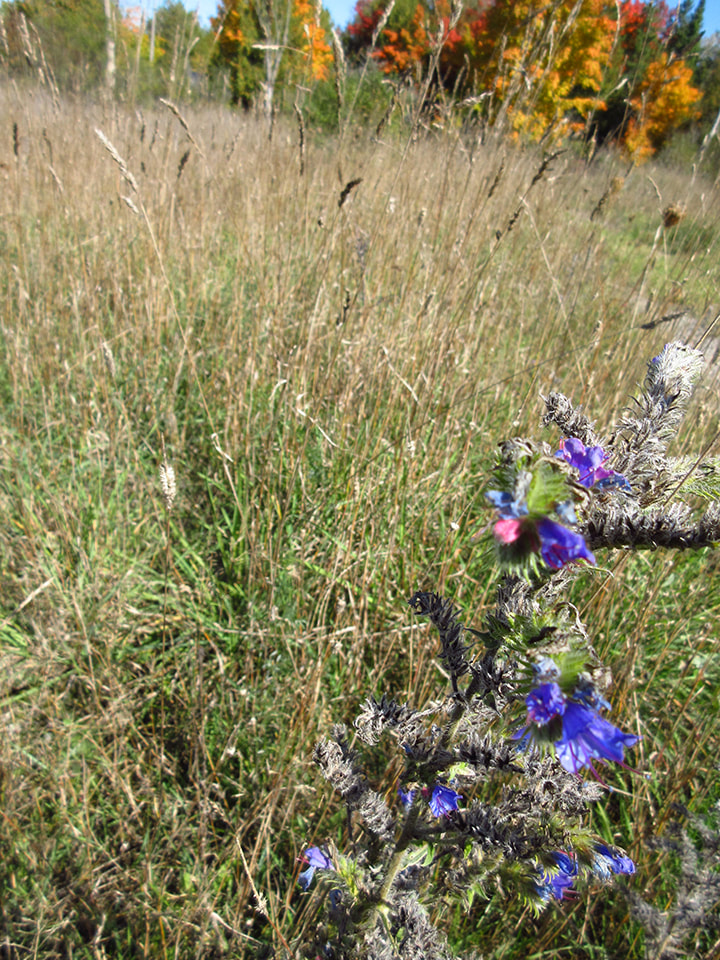
This is a non-operational park. This means that there are no facilities. No camping and no fires are permitted here. No hunting, ATVs or motor vehicles allowed either. There is no beach.
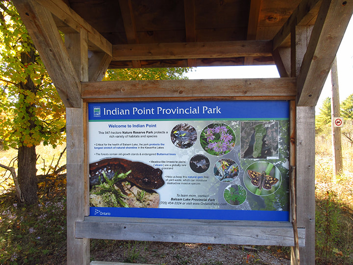
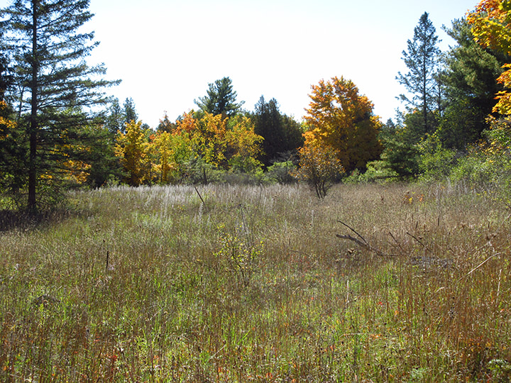
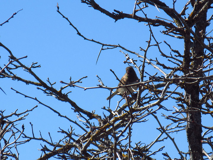
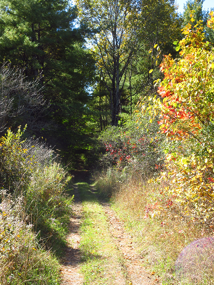
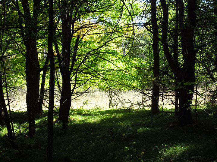
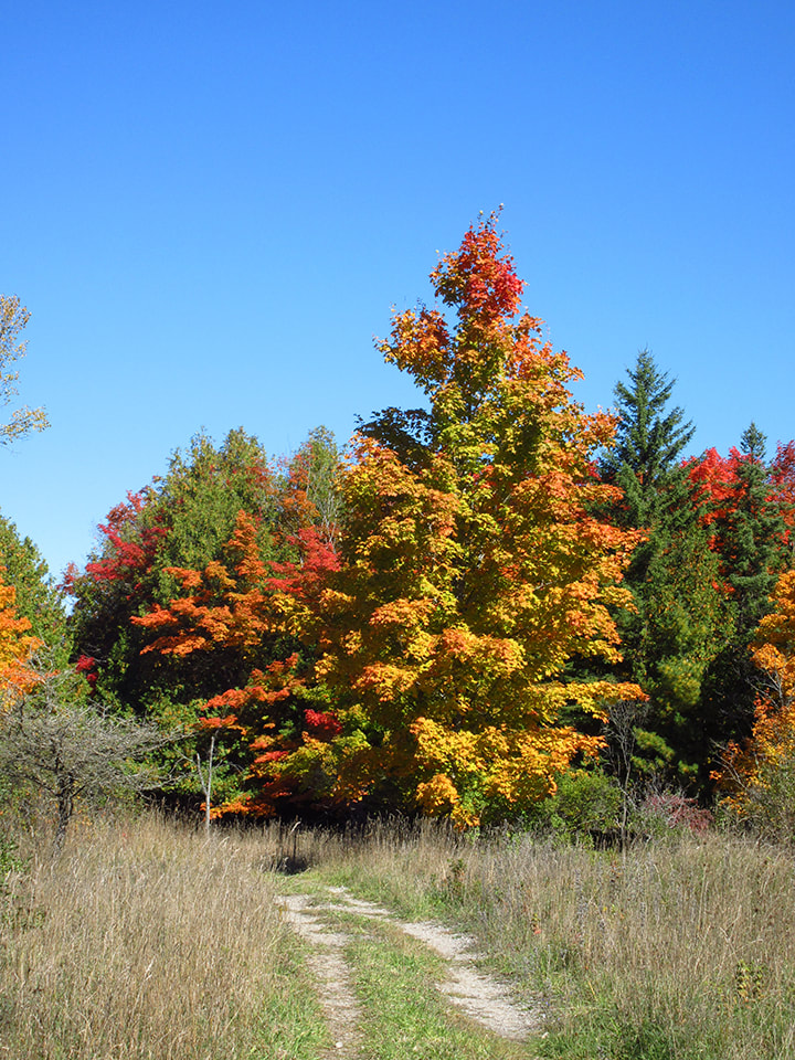
Located on the north end of Balsam Lake, this park features one of the longest undeveloped shorelines in the Kawartha Lakes region. Consisting of a low, limestone escarpment, this lake shore property is an alvar. A beautiful place to go for a hike, especially in the fall.
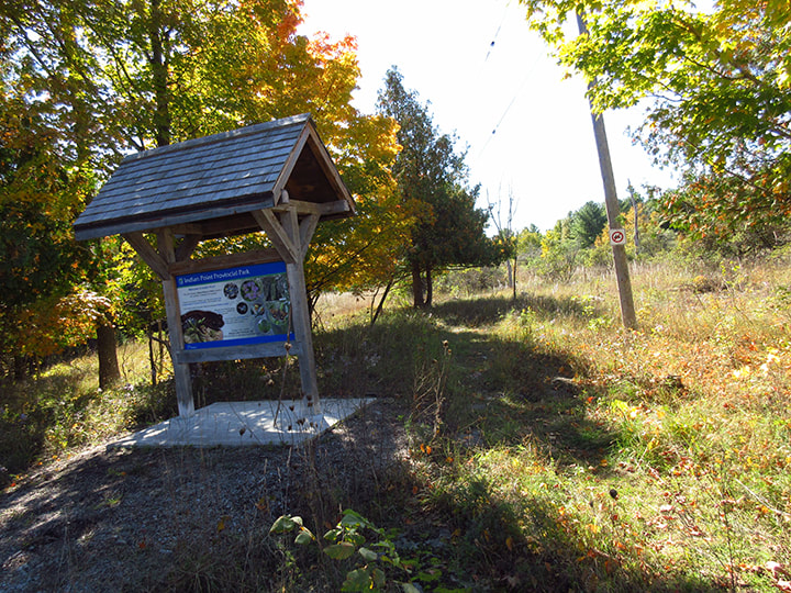
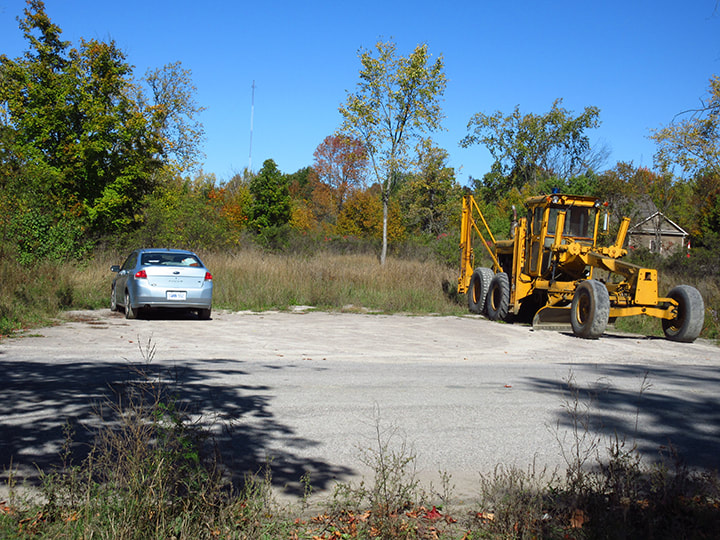
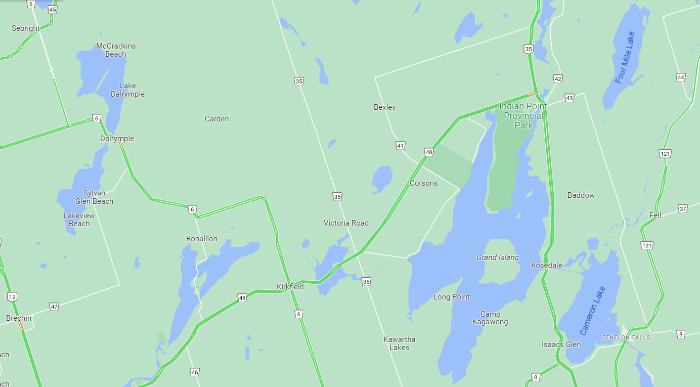
Finding the entrance can be a bit confusing the first time you go there. You have to go though the town of Coboconk to get to the entrance of Indian Point Provincial Park. The trail head s at the beginning of the gravel road and starts just beyond the information kiosk board. There is no access along the highway, nor at the end of Indian Point Road. These are both private property. The parking lot is tiny and holds about 4 or 5 cars maybe. It is located directly across the road from the trail head.
This is a non-operational park. This means that there are no facilities. No camping and no fires are permitted here. No hunting, ATVs or motor vehicles allowed either. There is no beach.
Located on the north end of Balsam Lake, this park features one of the longest undeveloped shorelines in the Kawartha Lakes region. Consisting of a low, limestone escarpment, this lake shore property is an alvar. A beautiful place to go for a hike, especially in the fall.
Finding the entrance can be a bit confusing the first time you go there. You have to go though the town of Coboconk to get to the entrance of Indian Point Provincial Park. The trail head s at the beginning of the gravel road and starts just beyond the information kiosk board. There is no access along the highway, nor at the end of Indian Point Road. These are both private property. The parking lot is tiny and holds about 4 or 5 cars maybe. It is located directly across the road from the trail head.
Location:
Near Coboconk, 38 kilometres north of Lindsay; at the north end of Balsam Lake. Water access from Balsam Lake.
Near Coboconk, 38 kilometres north of Lindsay; at the north end of Balsam Lake. Water access from Balsam Lake.
Park Boundaries