Blog Entries: It's Hard To Be Miserable At Misery Bay - August 2021
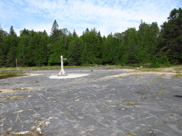
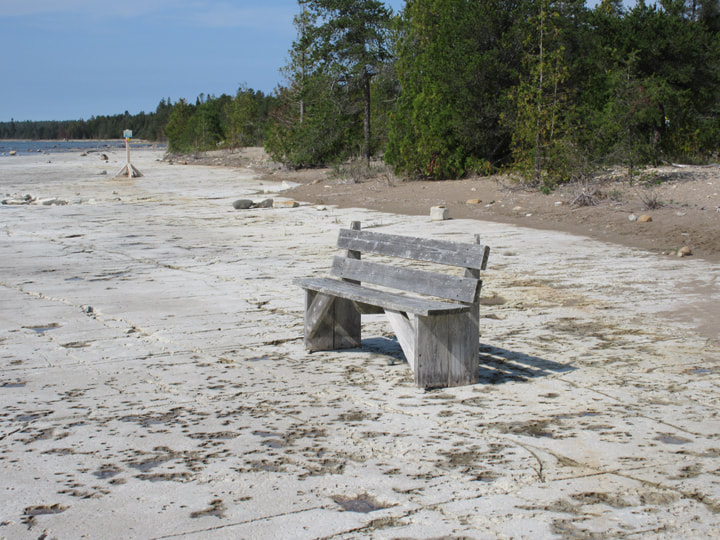
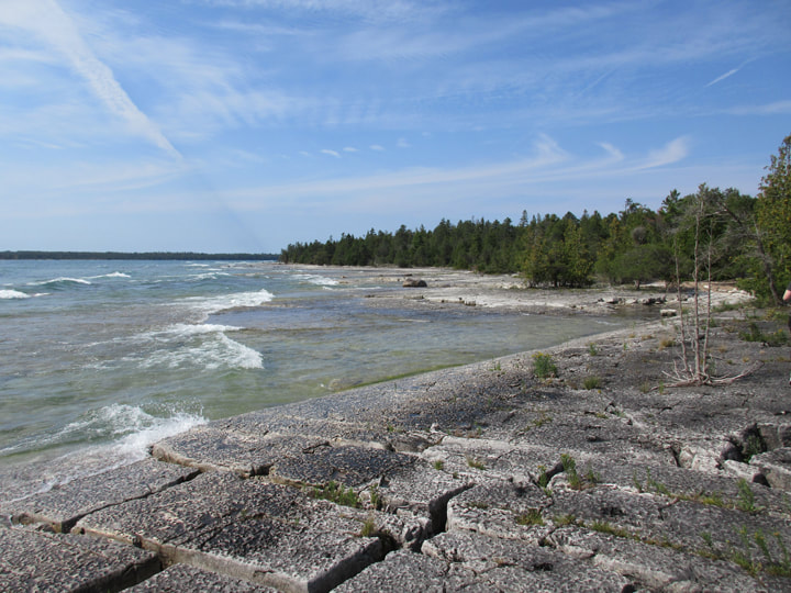
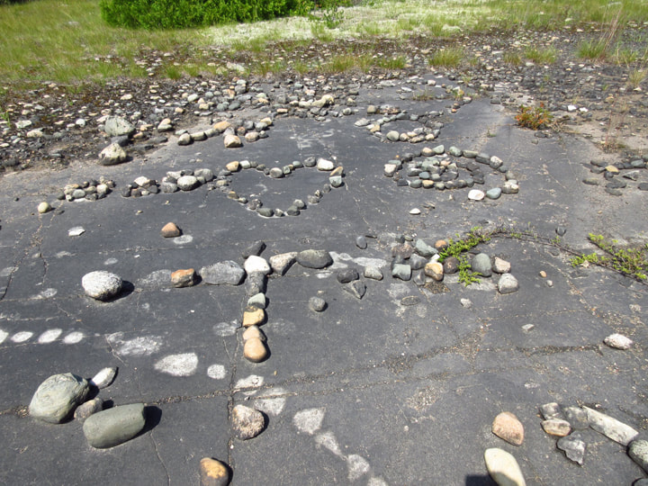
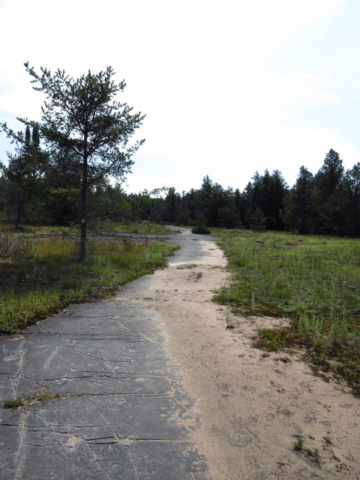
Terrain - The whole park is made up of flat, glacial stone. Paths are lined with cedars and pine trees.
Staff - None
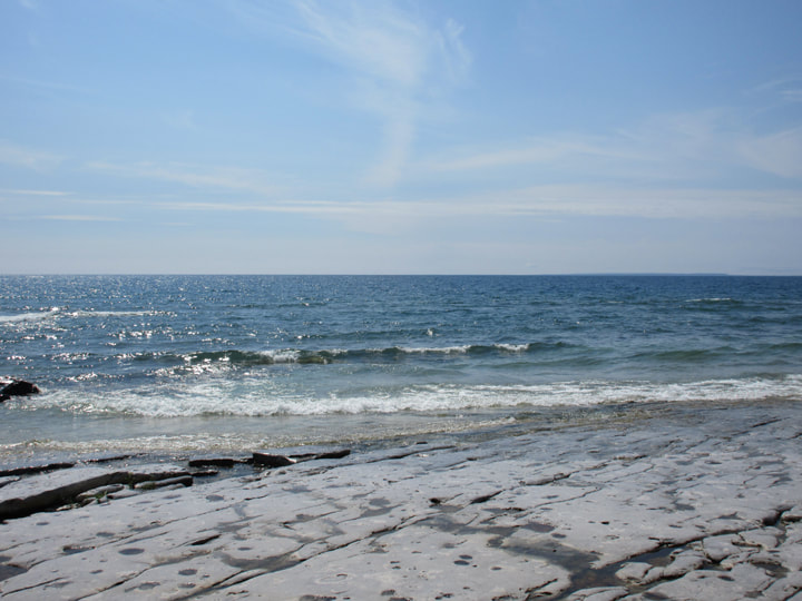
Beach - one official beach along the Misery Bay Trail (blue trail), but you can go swimming just about anywhere along the Lake Huron shoreline.
Out Door Water Faucets - none
Hiking Trails -
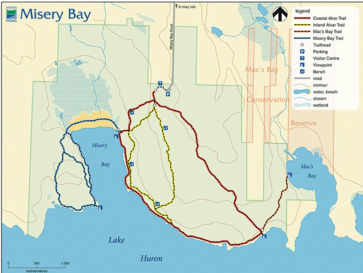
Coastal Alvar Trail (Red Trail)- Rating: Moderate - Length: 8km (loop)
The Coastal Alvar Trail is a large looping trail that takes in the natural features in the eastern side of the park. It travels from the Visitor Centre, past old glacial beaches and dolostone pavements as it makes its way to the present day shoreline. From there, the trail travels almost 3.5km along the Lake Huron alvar coastline until it intersects with the Mac’s Bay Trail. At that point, the Coastal Alvar Trail turns north along a glacial shoreline ridge as you make your way back to the Visitor Centre.
Inland Alvar Trail (Yellow Trail) - Rating: Easy - Length: 5km (loop)
The Inland Alvar Trail takes you through stands of mixed forest, old glacial beaches and a variety of open alvar pavements. This smaller looping trail offers a number of interpretive segments including the habitat associated with most of the parks rare and threatened plants including Lakeside Daisy (Manitoulin Gold), Blazing Star, Hill’s Thistle and Pitcher Thistle. There is also a short “spur” that will allow the hiker to connect with the Coastal Alvar Trail.
Misery Bay Trail (Blue Trail) - Rating: Moderate/Difficult - Length: 5km (loop to trail head)
The Misery Bay Trail begins where the Coastal Alvar Trail hits the Lake Huron coastline. The trail crosses the bayhead wetland along a beautiful sandy outwash as you make your way to the western side of the park. Being that the wetland is so fragile please stay on the trail! Once on the western side of the park the trail features two trail loops that take you through the largest open alvar pavement in the park. Old glacial beaches, alvars, glacial boulders, rare and interesting plants, glacial striations, grykes and erratics are just some of the things you will see.
Mac’s Bay Trail (Orange Trail) - Rating: Easy - Length: 2km (return to trail head)
Mac’s Bay Trail extends off the easterly portion of the Coastal Trail and travels to Mac’s Bay Conservation Reserve as it makes its way through shady cedars, across disturbed alvar and along a scarp before coming out on the Mac’s Bay shoreline. The shoreline is open and marshy and is a great place for birding. Features associated with the trail include small alvars, grykes, erratics, the glacial shoreline ridge and of course Mac’s Bay Conservation Reserve.
Pet Amenities - none
Playground - none
Park Store: - none
Boat/Canoe Rentals: - none
Playground - none
Park Store: - none
Boat/Canoe Rentals: - none
Things To Do At Batchawana Bay Provincial Park
- Birding
You will see many species of warblers that nest in the park, like Northern Parula, Black-throated Green and Yellow-rumped, flycatchers like the Eastern Kingbird, sparrows like the Clay-coloured and LeConte’s, as well as the occasional Bald Eagle or Sandhill Crane.
- Swimming
Misery Bay Provincial Park features a sandy beach along the shore of Lake Huron that is the perfect setting for families. The water is cold but refreshing.
- Picnicing
This day use park offers great picnic opportunities
- Hiking
Misery Bay offers over 15 km of hiking trails, a boardwalk and a bird viewing platform overlooking the wetland.
Directions: Take Highway 17 to where it joins Highway 6. Head south on Highway 6 to the town of Little Current. Then take Highway 540 until you reach Misery Bay Road. Head south on Misery Bay Road until you reach the park entrance. (Do not trust Google Maps or the Waze app... they will both lead you to the wrong place).
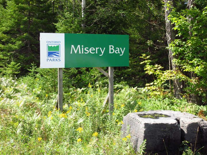
Signs For Directions To Park - Not many signs leading up to it, but the sign at the entrance is easy to see.
Signs For Directions To Park - Not many signs leading up to it, but the sign at the entrance is easy to see.
