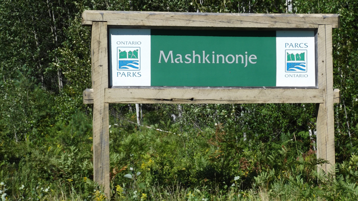
Mashkinonje Provincial Park
|
Rating: ★★★★★★★★★★ Mashkinonje
(pronounced mas-kin-onj) Hwy 64 near Monetville, Ontario, P0H 1R0 Wheel Chair Accessible - The first half kilometre of the Loudon Peatlands Trail past the boardwalk will be wheelchair and stroller accessible. Operating Hours : Year Round - Day Use Only - Technically camping is permitted but no sites are provided. |
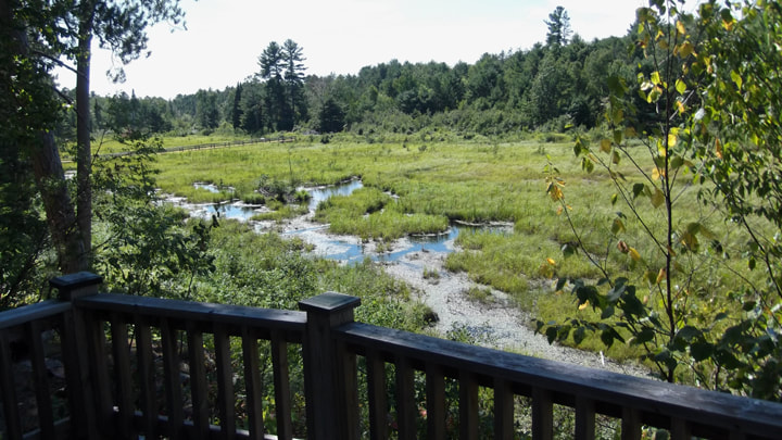
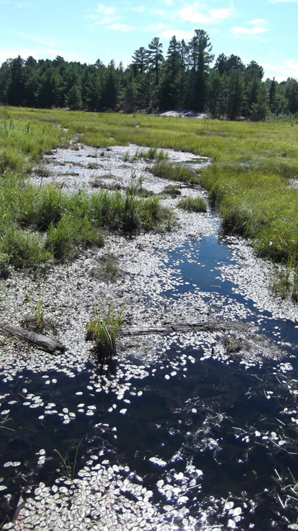
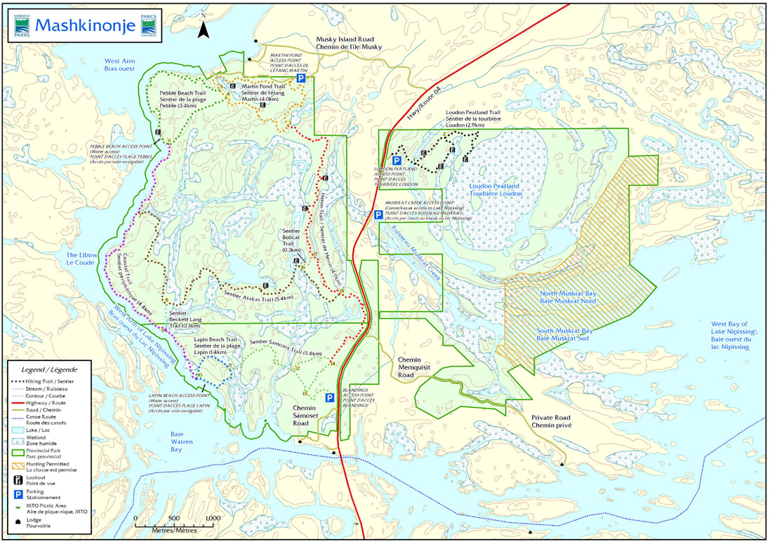
Terrain - Mashkinonje is over 2,000 hectares stretching from the West Bay to the West Arm of Lake Nipissing. The Loudon Peatlands and an area along Muskrat Creek are provincially significant wetlands.
Staff - None
Bathrooms - Non-flush toilets are available at the parking lot. Wheelchair accessible.
Beach - none
Out Door Water Faucets - none
Hiking Trails - 10 hiking trails in stacked loops totaling 30 km
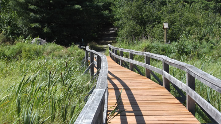
Loudon Peatland Trail - 2.9 km, easy
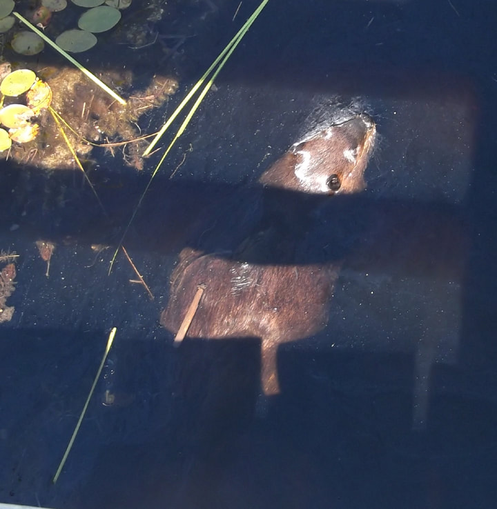
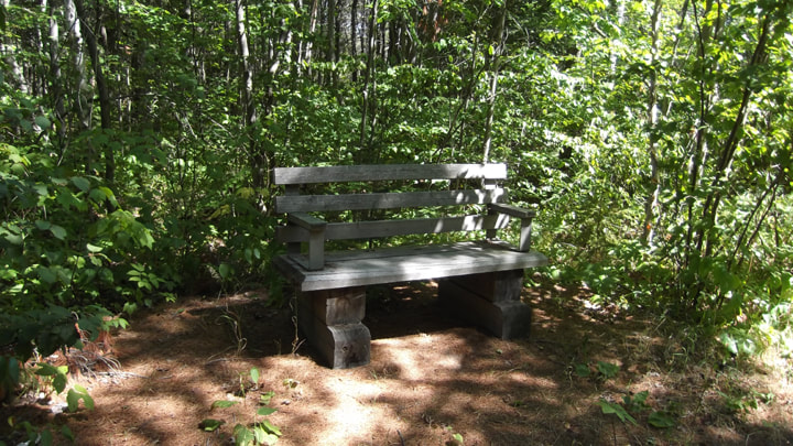
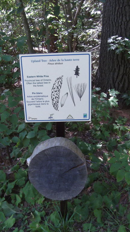
A wheelchair accesible boardwalk crosses a marsh at the beginning of the trail. A nice place to view wildlife. Marsh, fen and central bog. Look out towers overlook the peatland. Spruce and tammarack trees as well as deciduous trees.
Pet Amenities - none
Playground - none
Park Store: - none
Boat/Canoe Rentals: - none
Things To Do At Mashkinonje Provincial Park
- Self Guided trails
- Picnicking
- Birding
-Snowshoeing
- Self Guided trails
- Picnicking
- Birding
-Snowshoeing
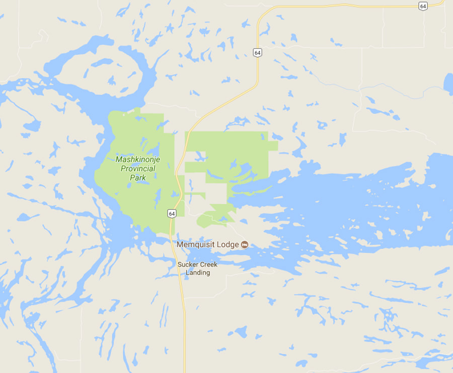
Directions: On Highway 64 about 13.6 km north of Monetville
Signs For Directions To Park - The signs for the east side are quite visible and easy to see. the signs for the west side are not so visible from the hwy.
Signs For Directions To Park - The signs for the east side are quite visible and easy to see. the signs for the west side are not so visible from the hwy.