Ever since last summer, my mom and I had wanted to go looking for a hiking trail just past Balsam Creek that we were told about. We were looking for a road with a washed out bridge on it. It was our intention to hike it and see if it was a possible backpacking campsite destination.
We packed up some bottles of water, and our hiking gear and got in the car and headed towards Balsam Creek. It was less than an hours drive and it was a beautiful day for a hike.
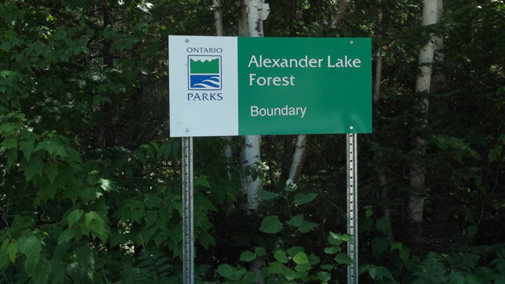
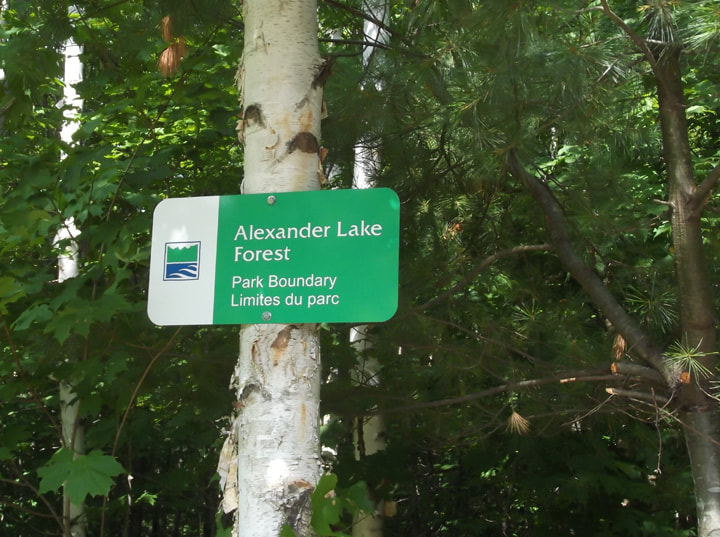
We drove down the gravel roads and passed side road after side road wondering if that was the road we were looking for. Eventually we had gone far enough to know that we had passed it and we were now on the way towards Mattawa. We figured we would go just a little bit further and then turn around. That was when we discovered the entrance to Alexander Lake Forest Provincial Park.
We packed up some bottles of water, and our hiking gear and got in the car and headed towards Balsam Creek. It was less than an hours drive and it was a beautiful day for a hike.
We drove down the gravel roads and passed side road after side road wondering if that was the road we were looking for. Eventually we had gone far enough to know that we had passed it and we were now on the way towards Mattawa. We figured we would go just a little bit further and then turn around. That was when we discovered the entrance to Alexander Lake Forest Provincial Park.
Alexander Lake Forest Park is a non-operating park. This means that there are no facilities and no amenities. In short; no toilets, no office or any other structured building. Basically, you are on your own. Some non-operating parks you can camp in for free but others you can not. According to the Ontario Parks website, back country camping is allowed in this park. Best of all...it's free!
When we stumbled upon the entrance to this park we had been travelling down Hwy 533. There was a little area where you could park your car. There was already someone else's car parked there, but they must have gone canoeing or something because we did not see anyone else in the park the whole time we were there.
When we stumbled upon the entrance to this park we had been travelling down Hwy 533. There was a little area where you could park your car. There was already someone else's car parked there, but they must have gone canoeing or something because we did not see anyone else in the park the whole time we were there.

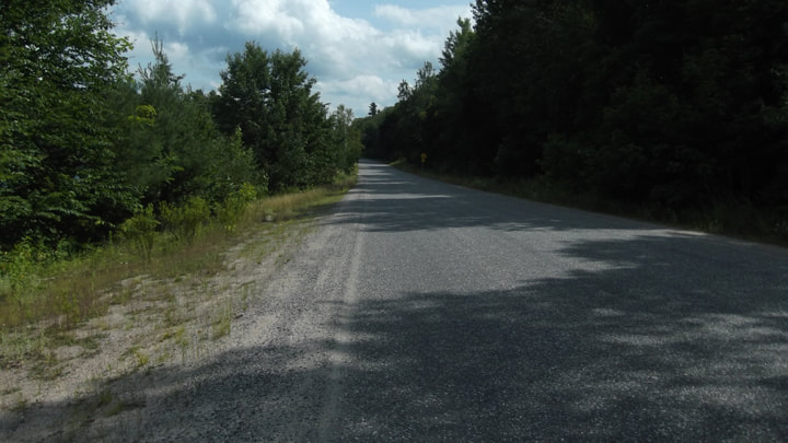
After parking the car we started down the gravel road that goes into the park to see where it would lead us.
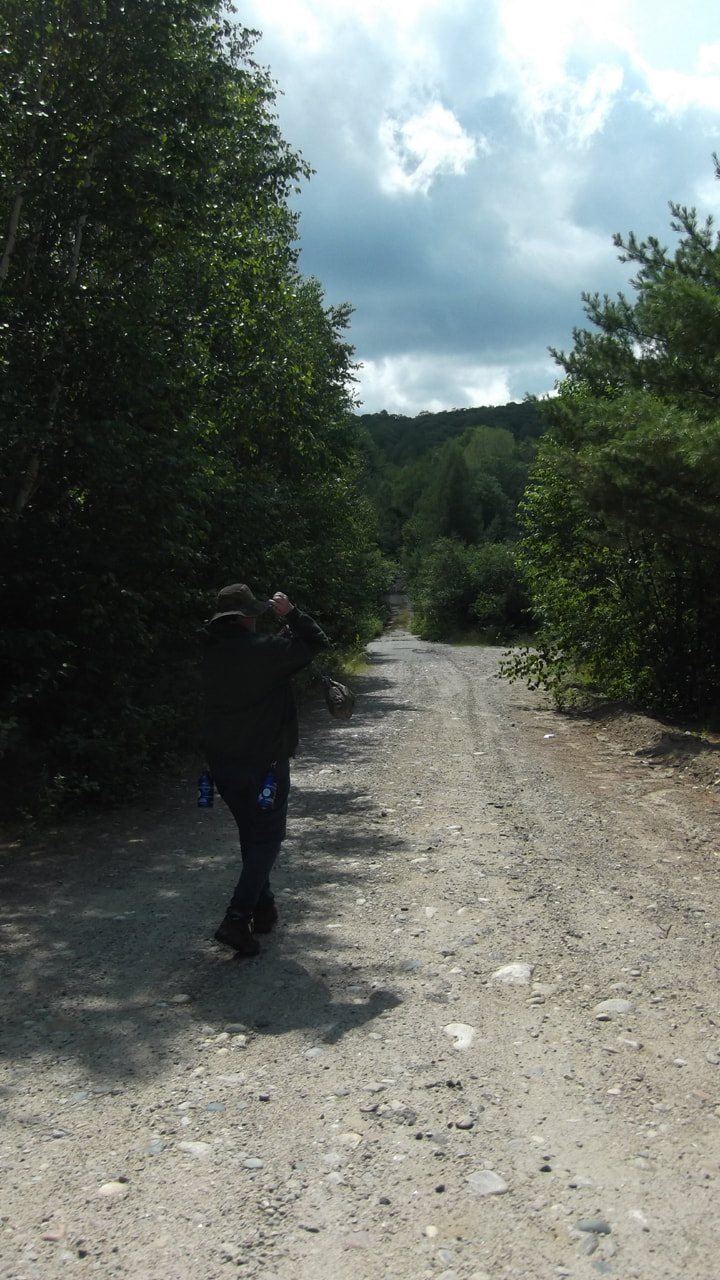
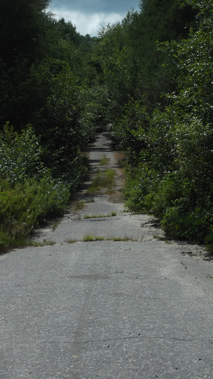
The gravel road turned into pavement not far in. However, you could tell that the paved road had long since been abandoned and was no longer maintained. It was becoming over grown with grass and the pavement was cracked. It looked like it was still quite usable still though.
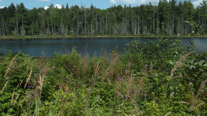
On either side of the road was a marshy looking lake called Crooked Lake. There was a spot where it looked like you could set a canoe or boat in.
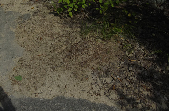
Further up the road was a giant ant hill. It looked like the ants had been building there for quite some time. It covered about a quarter of the road.
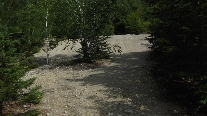
The ant hill wasn't the only hill of sand. There is also a big sand dune. Perhaps this road used to be used as a rock quarry before becoming a park. It would be interesting to find out the history of this land. But for now it is only a mystery.
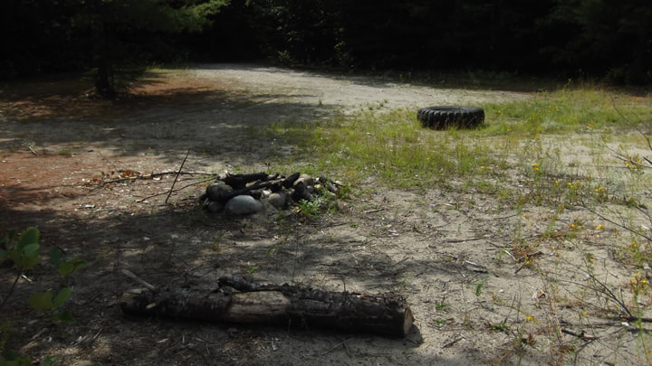
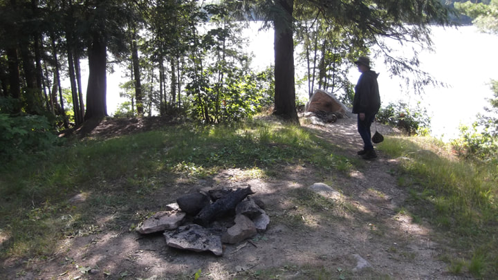
You can either walk off the road and follow what could narrowly be described as a trail through the sand hills. Or you can continue to follow the road. Either way you will eventually you will reach a campsite. No as I mentioned already, the park is a non-operating park so the campsite does not have much to see on it. Someone has built a fire pit and there is an old tire and a log to sit on. The area is wide open and big enough for large tents and perhaps even a small RV. The downside is that it is not directly on any water front so you would have to walk to get to the lake. But it is private and cozy and .... free.
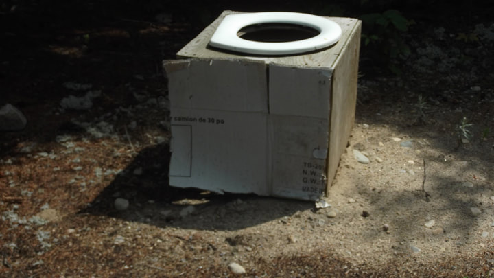
Someone even built a makeshift toilet. It is out in the open with no privacy and I would imagine that you would need to bring your own bucket to put in it and dispose of the waste properly when you left. But it is there if you need it and probably beats trying to find a log in the bush to sit on. Well, that's just a guess anyways.
For some reason someone hung an old hub cap in a tree. Not sure if it was their idea of a decoration or if they put it up there as a lost and found item.

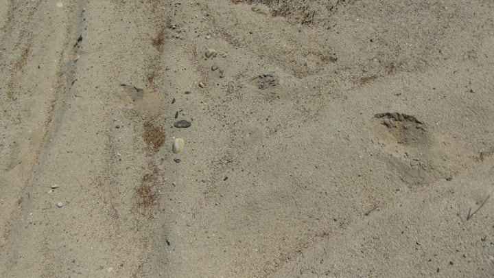
In the sand we saw tracks of something . Looks like maybe a deer. The ground was too sandy to tell for sure.
The road does continue on past the campsite. But the further you go the more over grown it gets. And there is no place to really turn a vehicle around easily past the campsite.
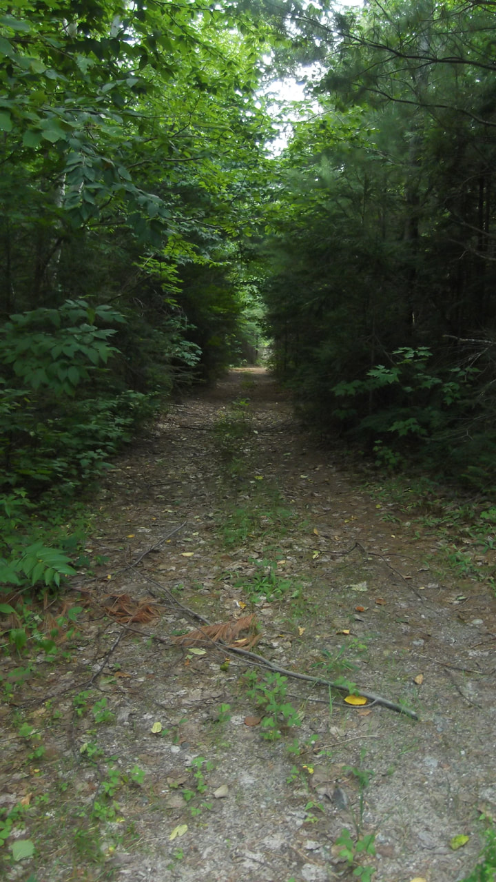
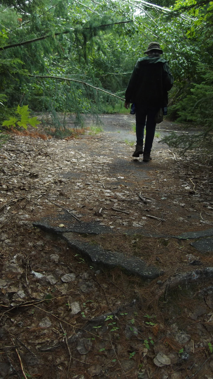
In some places the pavement is completely gone and all that is left are ridges where the roots have broken through. There is a wide open section of pavement here where you could put up a tent. But you would have to walk into it because no car would get to this section without potentially sustaining damage. On the other side of that the trail becomes more of a foot path.
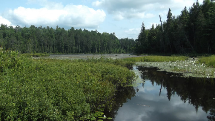
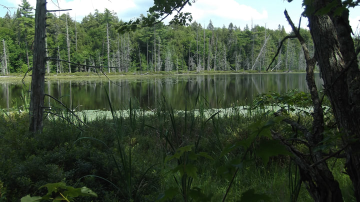
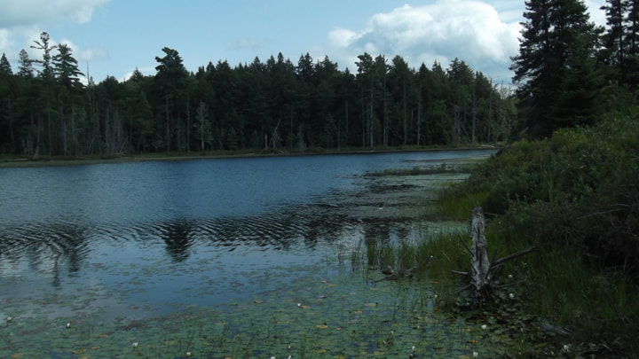
The foot path goes past another body of water. It isn't Crooked Lake and I am not even sure it is a lake at all. But it is marshy looking as well.
The trail eventually ends back out at the highway. We walked along the road for a bit to see what else was there.
From the road you could still see the water. There was no place that I would consider a great place to swim really. Maybe in one of the other lakes further in the park. Or maybe where the park meets the Ottawa River.
But I would like to take a canoe in here sometime. According to the Ontario Parks website, fishing is allowed in this park. I couldn't tell you what kind of fish are here.
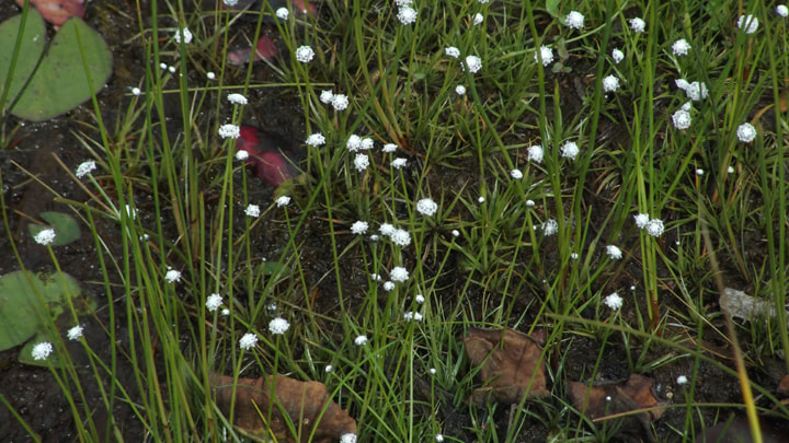
But I can tell you that there are green frogs here amongst the water lilies.
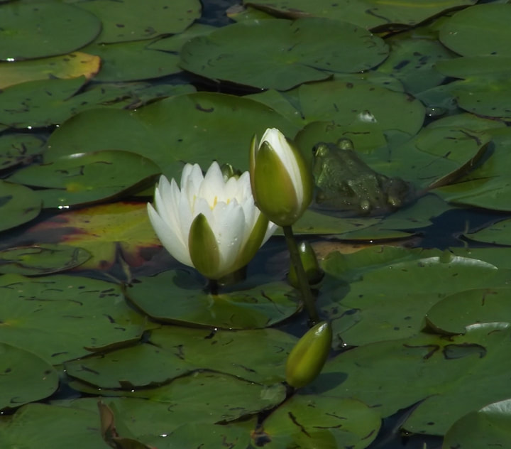
The marshy areas were peppered with little white Pipewort flowers.
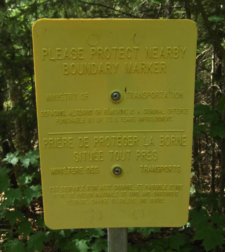
From time to time we would see these yellow signs. They say "Please protect nearby boundary markers". I am not sure what that means though. Does it mean there are other boundary markers near by and to keep them from being damaged? Or was it referring to the yellow sign itself? We didn't see any other boundary markers anywhere. So these signs were a little bit confusing.
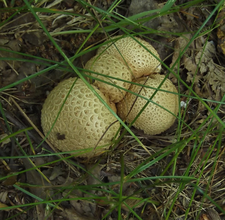
We spotted some puffball mushrooms growing in the grass and leaves.
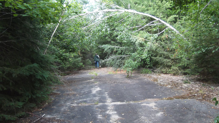
On the way back we passed by the big open paved area again. There were some over hanging birch trees that arched over top of the area giving it a bit of a fairy tale look. It was a pretty little place.
There were plenty of birds in this section too. Many of them were chickadees.
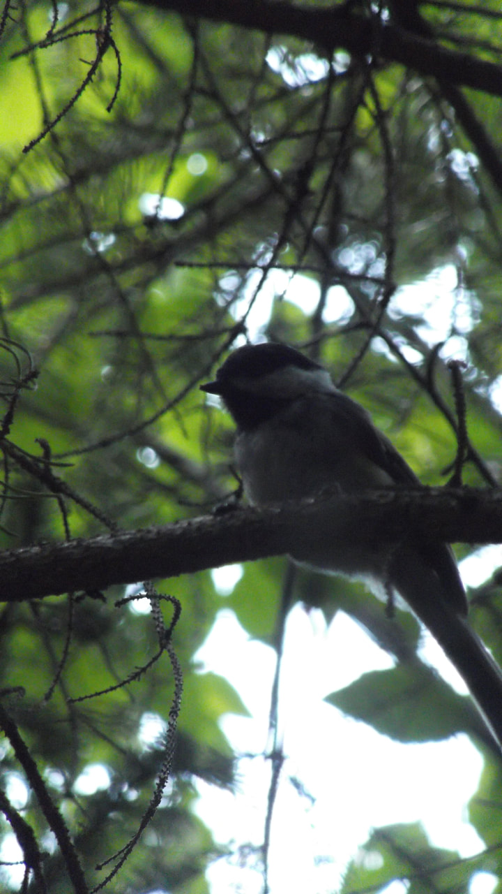
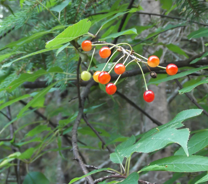
They were probably feasting on the nearby bird cherries.
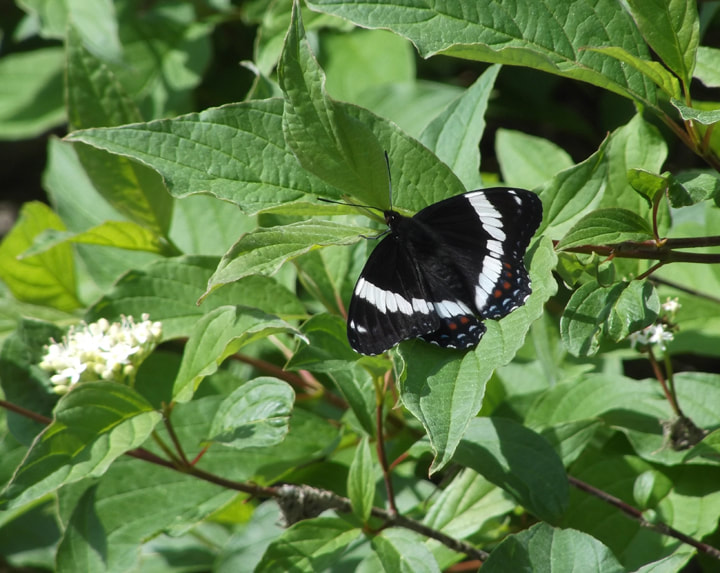
When we got back to where our car was parked we were met with a bunch of butterflies. The orange markings on the Red Admiral butterfly were a cheery sight.
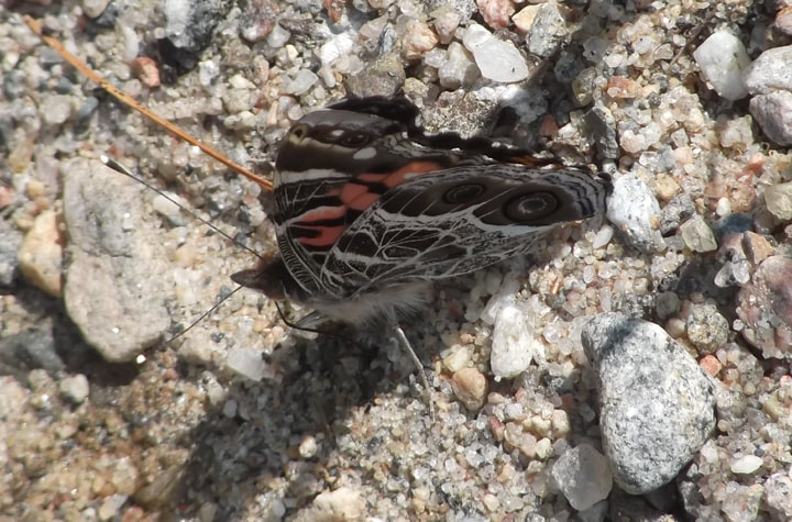
As were the colours of the American Lady butterfly.
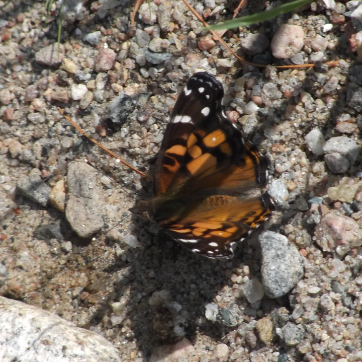
I just love the intricate designs on the underside of the wings on the American Lady butterfly.
On our search for the bridge and trail that we never found, we had passed by what we thought might be another possible free campsite on crown land. So, we decided to drive slowly back the way we came and see if we could find it again. We knew it was somewhere near Timber Lake.
We were surprised to come across another sign and another road into Alexander Lake Forest Park. We must have somehow missed this sign when we passed by it the first time. This was another chance to explore a part of the park. So, once again, we parked our car at the beginning of the road and headed n on foot. There wasn't really a good place to park here and we were kind of blocking the road so we hoped that no one else wanted to come down this road while we were parked there.
We were surprised to come across another sign and another road into Alexander Lake Forest Park. We must have somehow missed this sign when we passed by it the first time. This was another chance to explore a part of the park. So, once again, we parked our car at the beginning of the road and headed n on foot. There wasn't really a good place to park here and we were kind of blocking the road so we hoped that no one else wanted to come down this road while we were parked there.
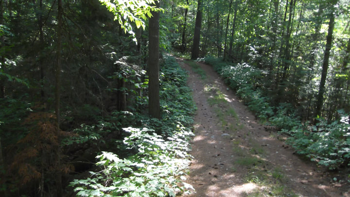
This part of the park is much more dense with trees. The trees provided some welcome shade on such a hot day. However, they also provided swarms of mosquitoes! We had applied bug spray to our clothes before heading into the woods, but the mosquitoes didn't seem to even notice. There were so many of them! It was really bad. Instead of slapping one or two away, I would run my hand down my arm and wipe about 5 to 10 of them away at a time. And then I would wipe my hand down my other arm and get another 5 to ten. Then the same for my shoulders, back and face. The other parts of the park we had been in had some mosquitoes, but nothing like this! But this didn't deter us. We kept going. Mosquitoes and all! I got into this rhythm of just swiping over and over as I walked "Right arm, left arm, right shoulder, left shoulder, back and face" Repeat, repeat, repeat.. It became like a dance. Like the Macarana or something. I am sure we looked pretty comical.

We must have walked for nearly a kilometer doing our mosquito dance. The road became pretty narrow and very steep in some places. We found bits of broken tail lights and other car parts along the way where some people's poor cars had evidently sustained some damage trying to make it down this road. There was zero place to turn around and if anyone was to come from the other direction it would be a nightmare trying to back up. I was glad we hadn't decided to drive down, despite the mosquitoes.
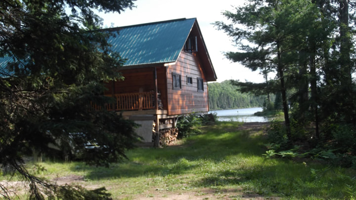
Then all of a sudden the road reached the lake and there in the middle of the park was ...a cottage! What?!? What was a cottage doing in the middle of a non-operating park? This was strange. We spotted someone and their dog out at shoreline of the lake. The owners came to greet us and explained that this section of the park was actually private property. They had been grandfathered in since they had owned the property long before the land became a park. They were very surprised to see us. Not that they don't get other people down that road. It's just that they always come in a vehicle. When we told them that we walked they said "You walked through all those mosquitoes?!?" Now you know if the owners are shocked that you walked through the mosquitoes then there had to be a lot of mosquitoes! So my mom and I have now come to nickname this cottage "Mosquito Cottage".
We chatted with the owners for a little bit and asked them some questions about the park before leaving. They were quite nice. Unfortunately, we had to make the dreaded walk back through all those mosquitoes again. We prepared for the worst and we headed back to the car. We picked up our pace and got back to the car faster than the amount of time it had taken us to get to the cottage. And we were going mostly uphill on the way back.
We chatted with the owners for a little bit and asked them some questions about the park before leaving. They were quite nice. Unfortunately, we had to make the dreaded walk back through all those mosquitoes again. We prepared for the worst and we headed back to the car. We picked up our pace and got back to the car faster than the amount of time it had taken us to get to the cottage. And we were going mostly uphill on the way back.
When we jumped into the car and slammed the doors, about 30 mosquitoes made it in with us. We spent the next 5 minutes swatting all the mosquitoes that had snuck in as hitchhikers on our clothes. When we were satisfied that we had got them all, we continued on our way back down Hwy 533 towards Timber Lake.
We passed by a little area that looked like it might be private property but not far after that we spotted the section that had looked like a possible campsite on crown land. There was a nice little spot to pull a car or RV through pretty easily. So I pulled over and parked and once again we got out to explore.
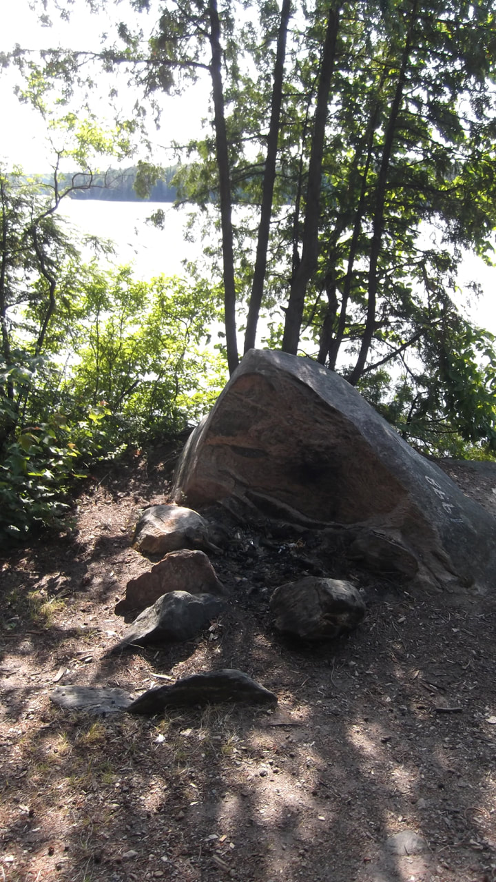
Sure enough this was a crown land camping site. And a nice one at that! Much nicer than the one at Alexander Lake Forest Park. There was a fire pit and plenty of open space for tents or an RV. The trees gave you some privacy form the road and some shade.
We passed by a little area that looked like it might be private property but not far after that we spotted the section that had looked like a possible campsite on crown land. There was a nice little spot to pull a car or RV through pretty easily. So I pulled over and parked and once again we got out to explore.
Sure enough this was a crown land camping site. And a nice one at that! Much nicer than the one at Alexander Lake Forest Park. There was a fire pit and plenty of open space for tents or an RV. The trees gave you some privacy form the road and some shade.
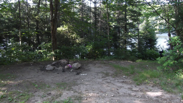
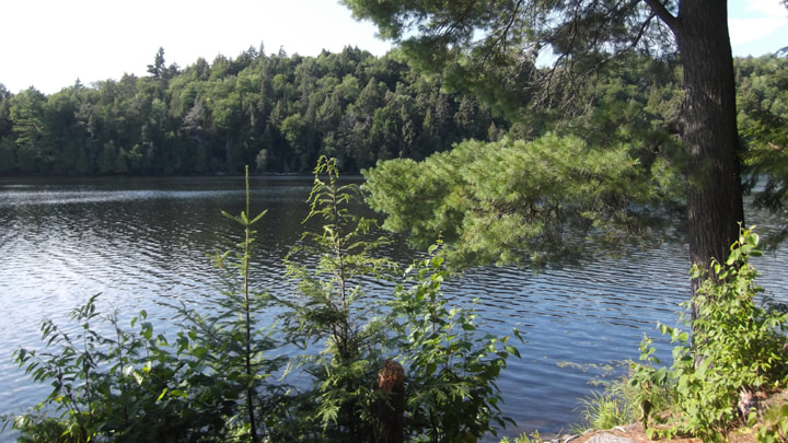
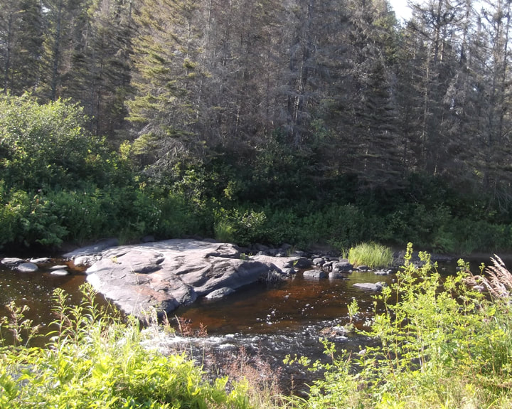
The thing that made this nicer than the one in the park was that it was on the water. Right on the edge of Timber lake.
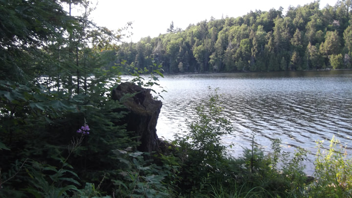
It has a beautiful view and there would be no problem getting to the water to go for a swim.
But that is not all we found here. This was not just one camp site, but two! On the far side of the site we just found there was another fire pit.
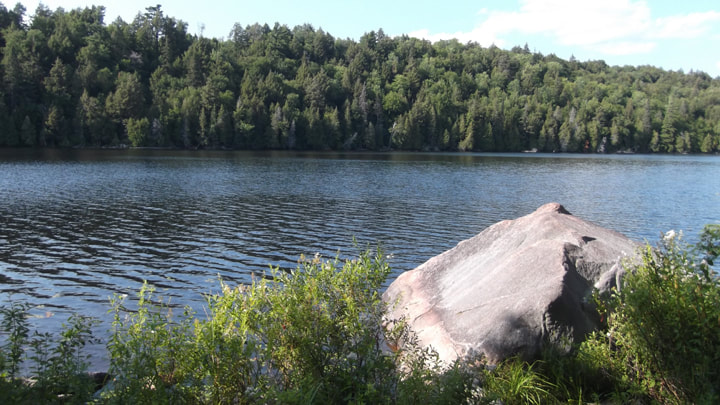
Two fire pits actually. One was down closer to the water. This site was even nicer than the other one, in my opinion.
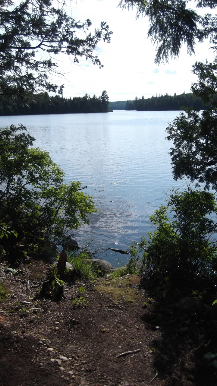
It was a pretty nice spot for free camping! We could hear a loon calling in the distance.
It has even better access to the water on this site. We sat and had a snack and relaxed here for a bit.
When I got home I did a bit of searching online and found out that there is a boy scout camp on the other side of the lake just past the narrow section we could see in the distance.
When I got home I did a bit of searching online and found out that there is a boy scout camp on the other side of the lake just past the narrow section we could see in the distance.
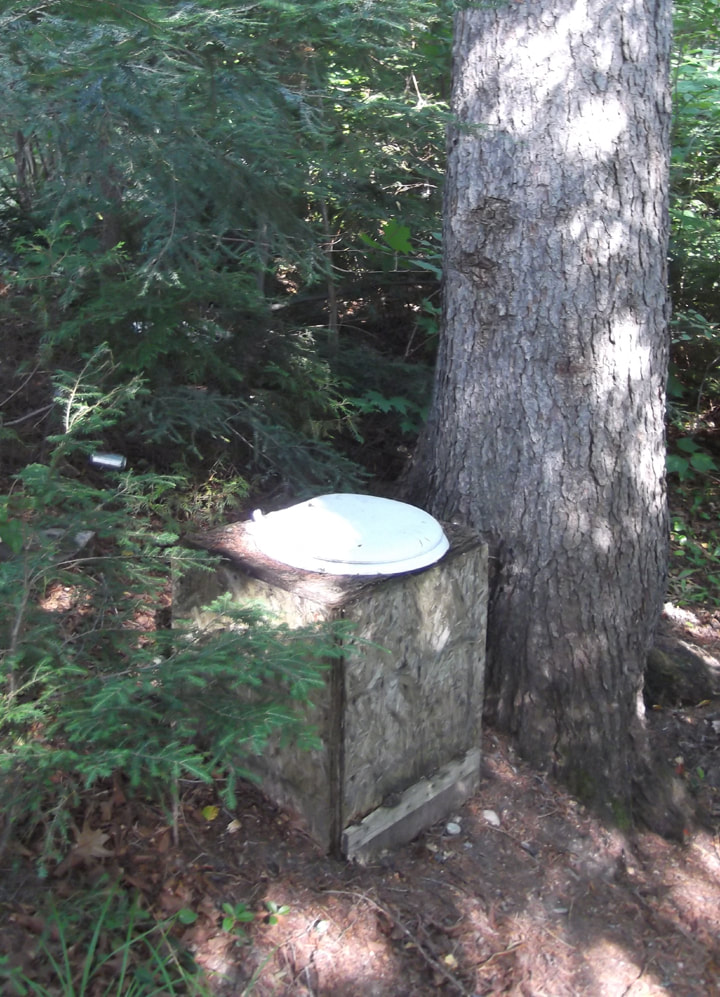
This site also has a make shift bathroom. However, this one has more privacy than the last one had.
There are only about 6 or 7 cottages on this lake and the rest of it is crown land. So, there may be other campsites hidden along this little gem of a lake that we hadn't found yet.
There are only about 6 or 7 cottages on this lake and the rest of it is crown land. So, there may be other campsites hidden along this little gem of a lake that we hadn't found yet.
We made one more stop along the way before going home. We stopped at a little picnic area that is located just up the road from where Hwy 533 intersects with Hwy 63.
There was an older gentleman there picnicing with his old fashioned car. Mom and I thought it was an endearing sight to see.
There was an older gentleman there picnicing with his old fashioned car. Mom and I thought it was an endearing sight to see.
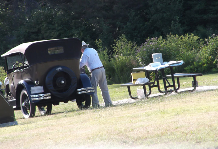
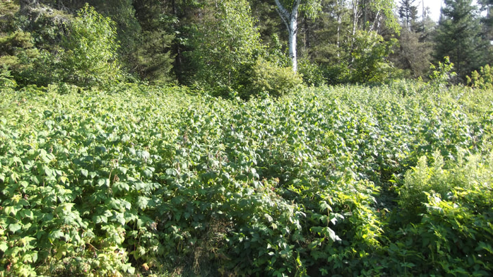
This picnic area has a virtual field of raspberry bushes. And the berries were ripe for the picking.
This highway rest area is actually in Jocko Rivers Provincial Park, which mostly borders both banks of the river, but also has some larger sections of land a little further north. So I guess I actually visited 2 provincial parks in one day when I hadn't even intended to visit one. And although we didn't find the campsite we had initially set out to find, we did find 3 others.
We did quite a bit of exploring for one day but clearly there is a whole lot more to be seen. I think I will make a point of going back sometime to do some free camping and maybe even bring a canoe with me.
We did quite a bit of exploring for one day but clearly there is a whole lot more to be seen. I think I will make a point of going back sometime to do some free camping and maybe even bring a canoe with me.
 RSS Feed