The Provincial Parkers
  • Home
  • Blog
  • Parks
    • Ontario >
      • Aaron Park
      • Algonquin Park >
        • Brent
        • Kiosk
      • Arrowhead
      • Balsam Lake
      • Bass Lake
      • Bon Echo
      • Bonnechere
      • Charleston Lake
      • Chutes
      • Darlington
      • Driftwood
      • Esker Lakes
      • Fairbank
      • Finlayson Point
      • Fitzroy
      • Fushimi Lake
      • Grundy Lake
      • Halfway Lake
      • Ivanhoe Lake
      • Kap-Kig-Iwan
      • Kettle Lakes
      • Killarney
      • Killbear
      • Lake St. Peter
      • Lake Superior >
        • Agawa
      • Marten River
      • Mc Rae Point
      • Mikisew
      • Mississagi
      • Pancake Bay
      • Presqu'ile
      • Pukaskwa
      • Restoule
      • Samuel De Champlain
      • Sandbanks
      • Six Mile Lake
      • Sleeping Giant
      • Voyageur
    • Quebec >
      • Opemican
      • Parc De La Gorge De Coaticook
    • Manitoba >
      • White Shell
    • Saskatchewan >
      • Cypress Hill
      • Moose Mountain
    • Alberta >
      • Dinosaur Park
    • B.C. >
      • Glacier National Park - Loop Brook
  • Day Use
    • Ontario >
      • Batchawana Bay
      • French River
      • Mashkinonje
      • Misery Bay
      • North Beach
      • Petroglyphs
  • Back Country
    • Ontario >
      • Algonquin >
        • Eastern Pines
        • Highland Trail
      • Bon Echo
      • Halfway Lake
      • Killarney
      • Lake Superior
      • Mississagi
      • Pukaskwa
  • Non-Operating
    • Ontario >
      • Alexander Lake Forest
      • Dana - Jowsey Lakes
      • Indian Point
      • Timber Lake
      • Waubaushene Beaches
      • Widdifield Forest
  • Wildlife
    • Mammals
    • Birds
    • Reptiles/Amphibians
    • Plants/Flowers
    • Insects/Bugs/Slugs
    • Fish/Aquatics
  • Packing Lists
    • Camping List
    • Backpacking List
    • Winterizing
    • Fun Camping Foods For Kids >
      • Campfire Brown Bears
  • Camping Etiquette

He Who Returns From A Journey Is Not The Same As He Who Left

7/9/2022

0 Comments

 
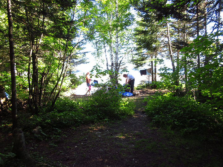
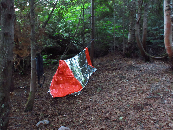
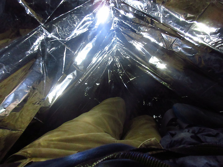
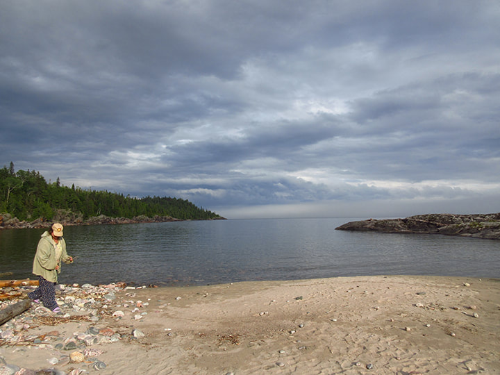
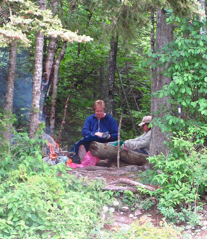
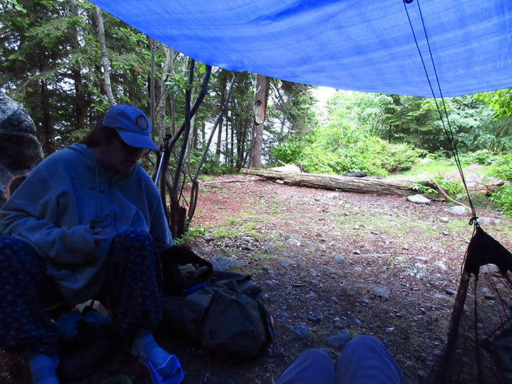
We woke up at 7:45 in the morning. Heather got out of the tent first. 
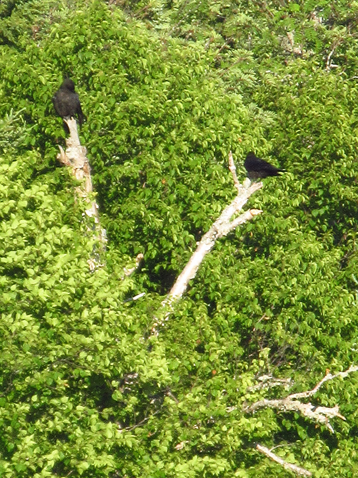
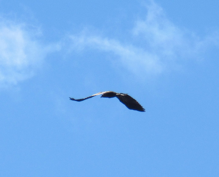
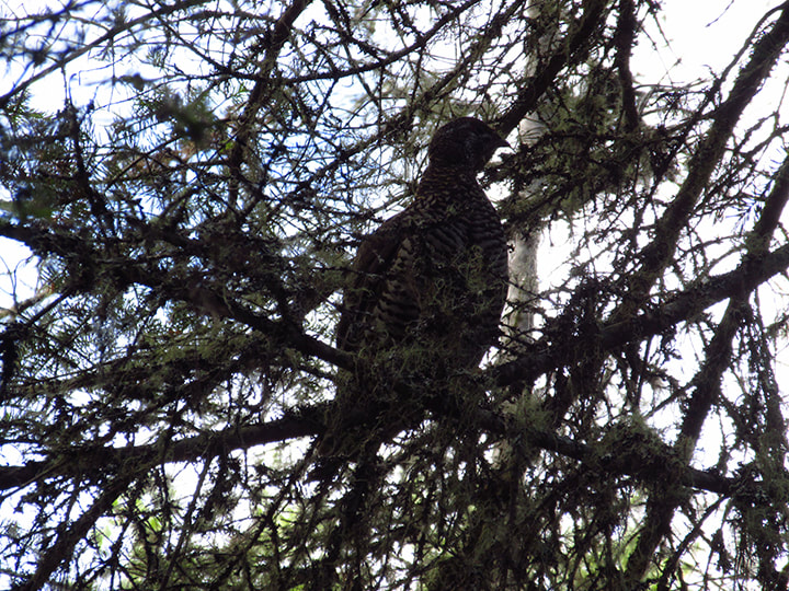
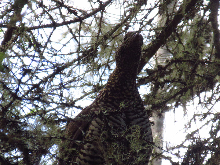
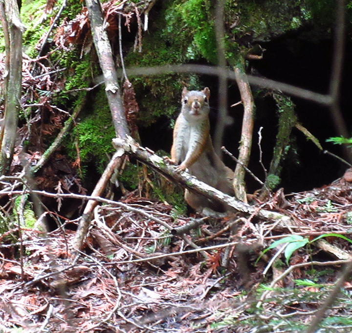
As I lay there still trying to convince my body that it was a good idea to get up, I heard what sounded like a Spruce Grouse fly over our tent so low that it seemed like it would almost hit it! 
Picture
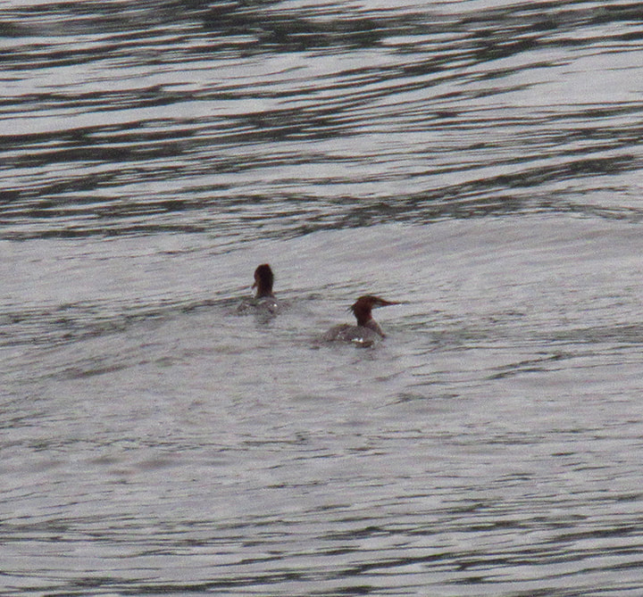
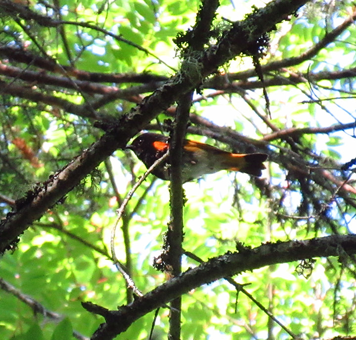
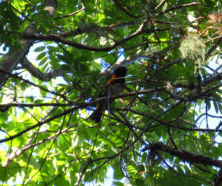
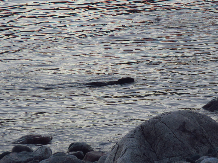
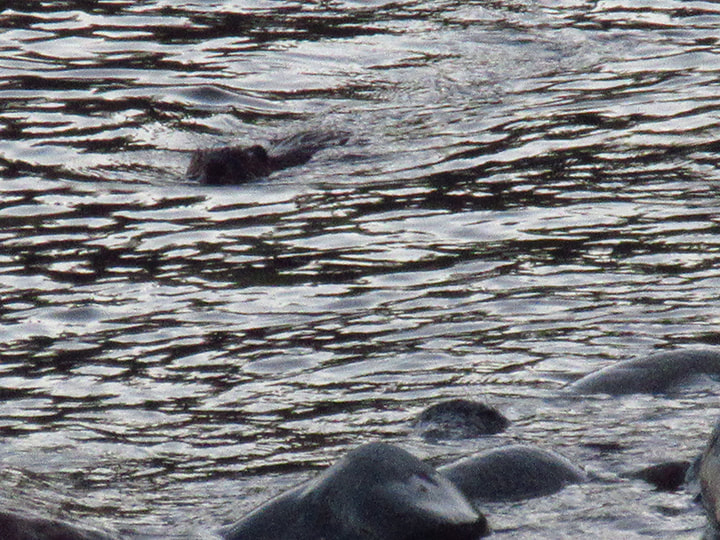
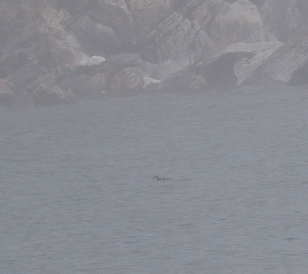
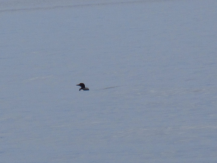
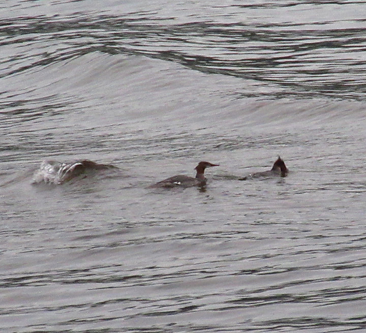
Turns out it wasn't a Spruce Grouse at all. Once I got out of the tent Heather told me how she had been sitting down at the beach having her coffee when she heard the flapping of wings over by our tent. She was surprised to see a Merganser duck come flying through the trees, low to the ground and narrowly missing our tent. It somehow managed to miss every tree and flew out to the lake and joined another duck who was already swimming near by.

​Who knew that ducks would be flying through the forest? 
Picture
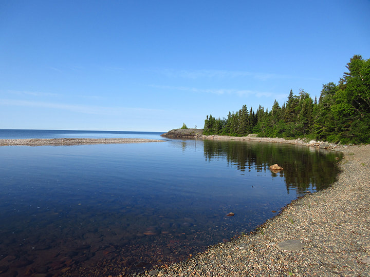
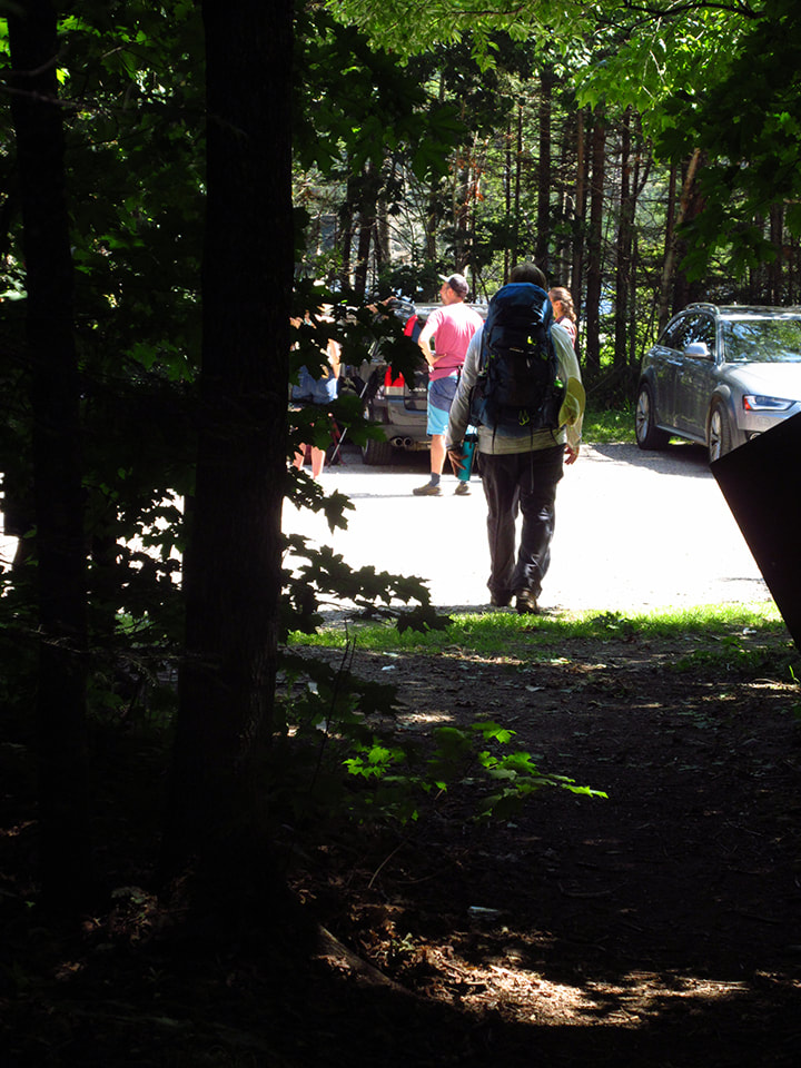
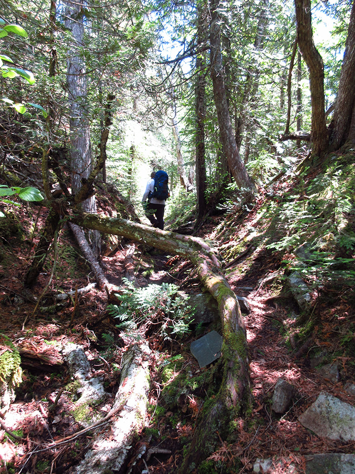
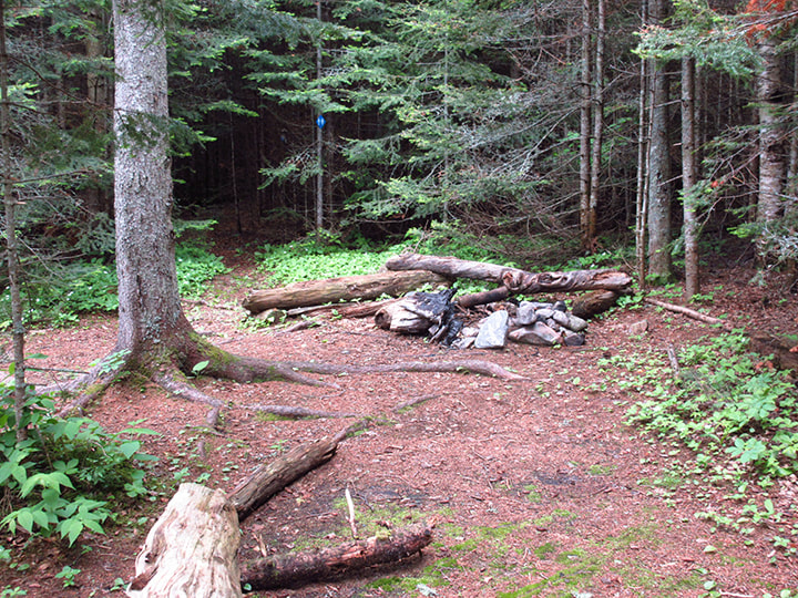
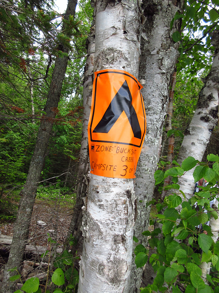
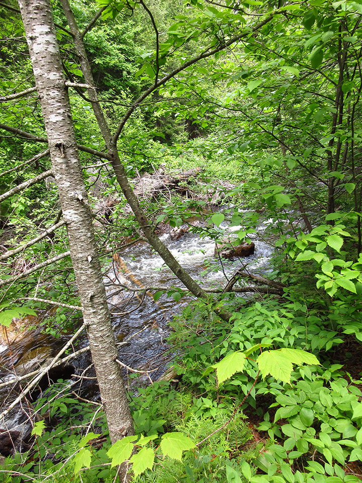
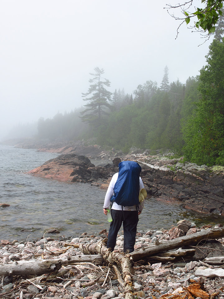
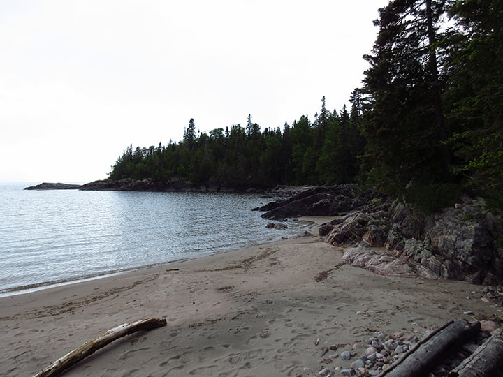
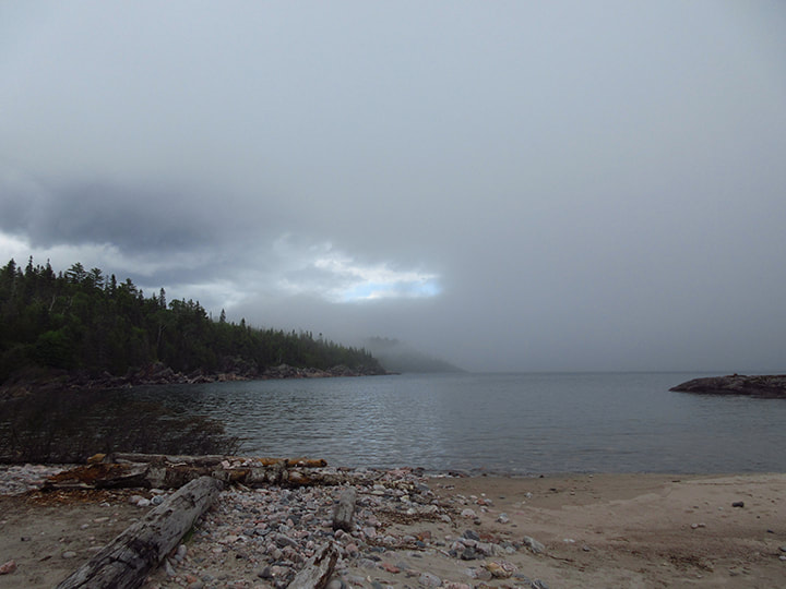
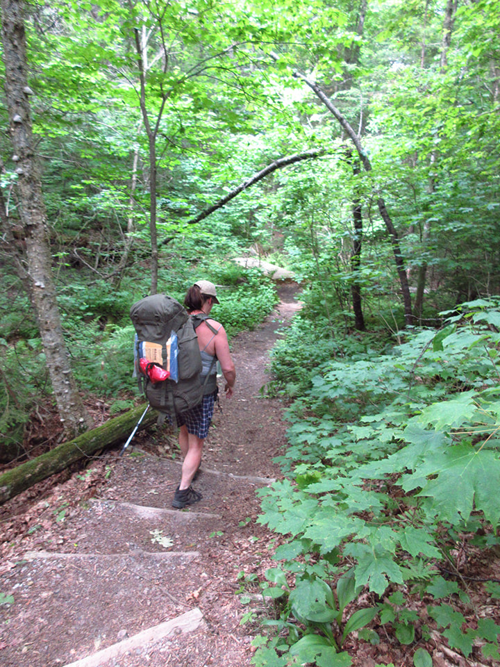
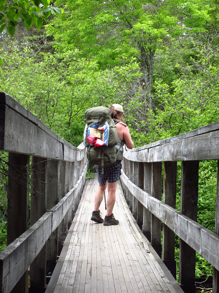
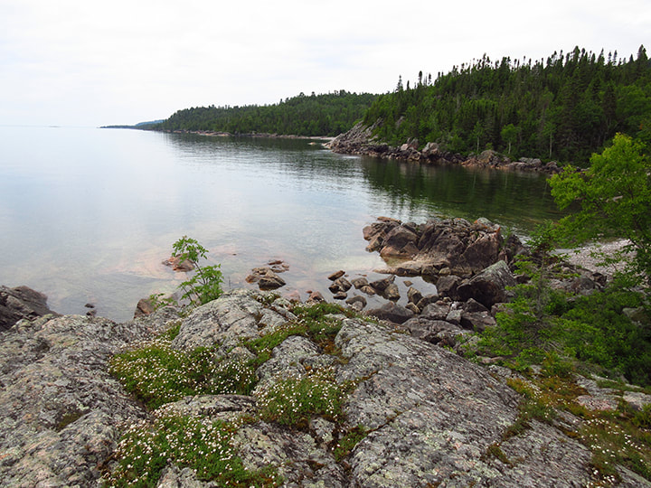
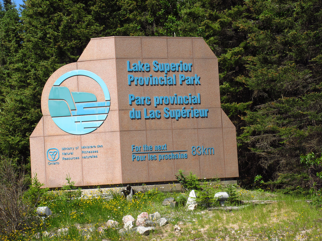
Today we would hike out of the trail and back to the Agawa campground. Our plan was to stop and see the pictographs along the way. It had been a long and rough couple of days and the trail was a bit more than we had bargained for so we were ready to be going back now. 

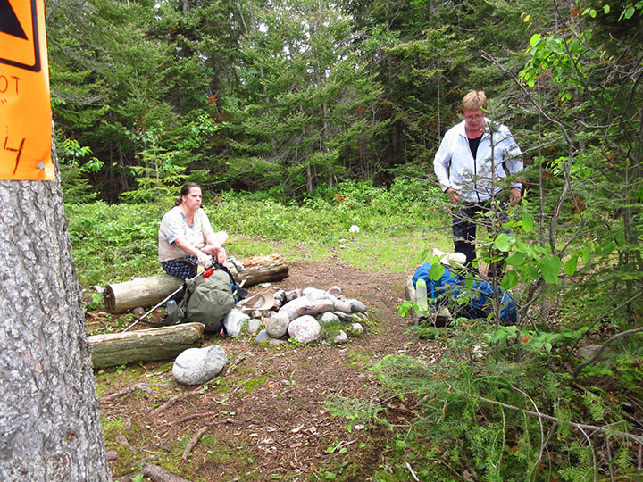
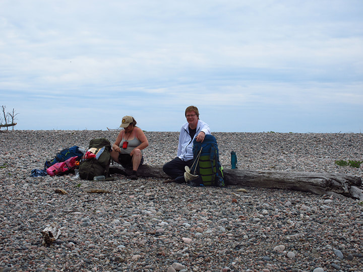
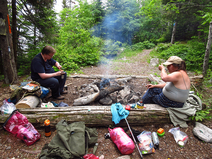
After breakfast we packed up and got ready to go. Kelly joined us at around 10 a.m. and we headed out. 
Picture
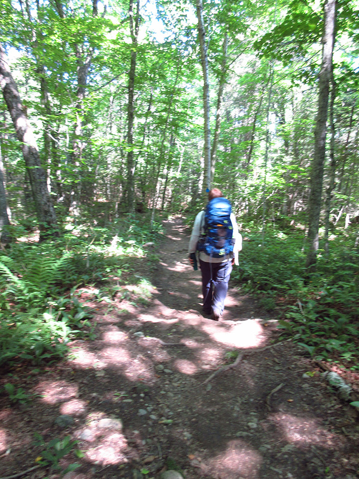
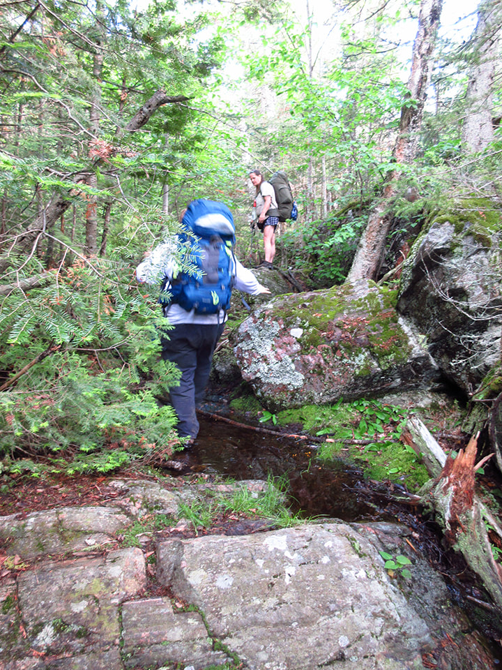
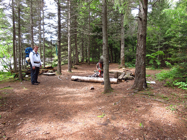
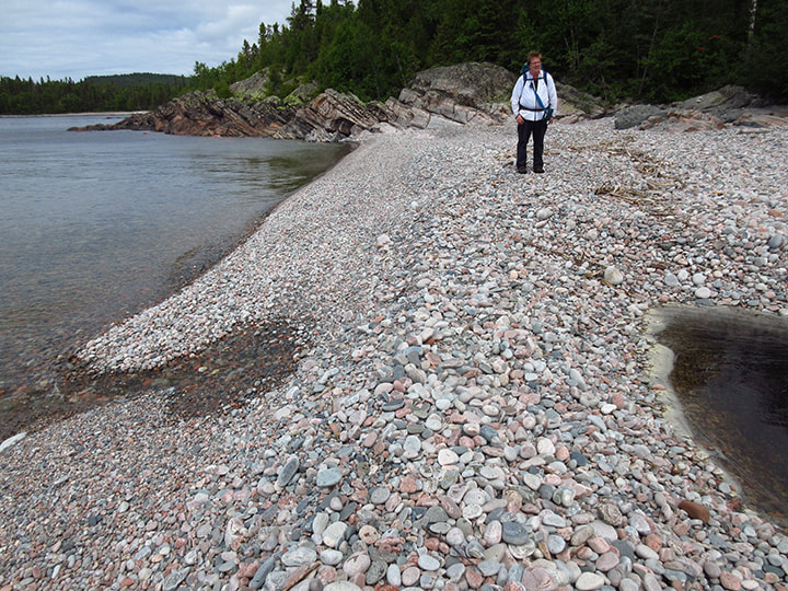
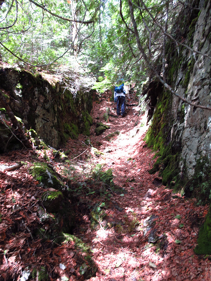
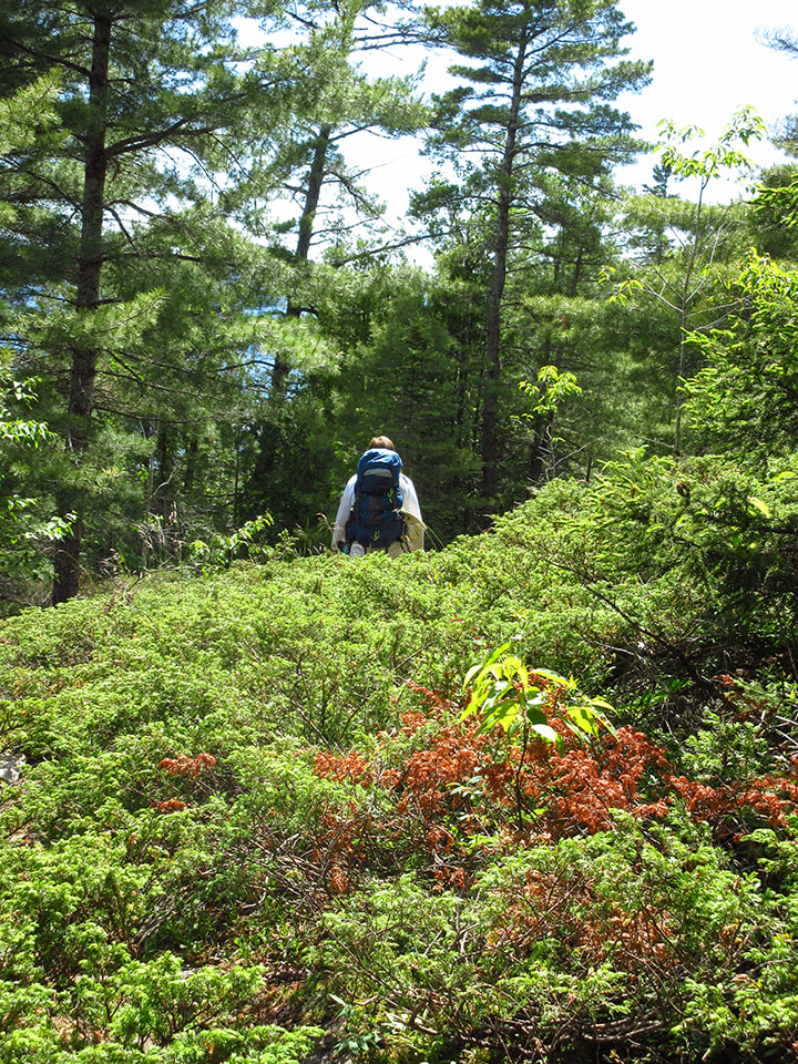
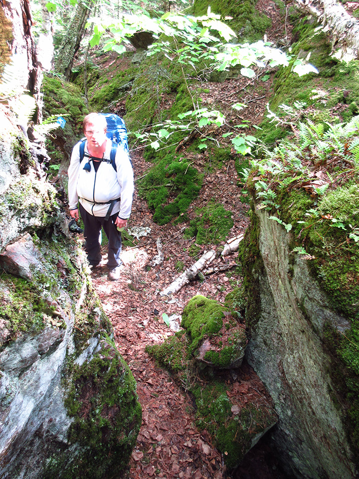
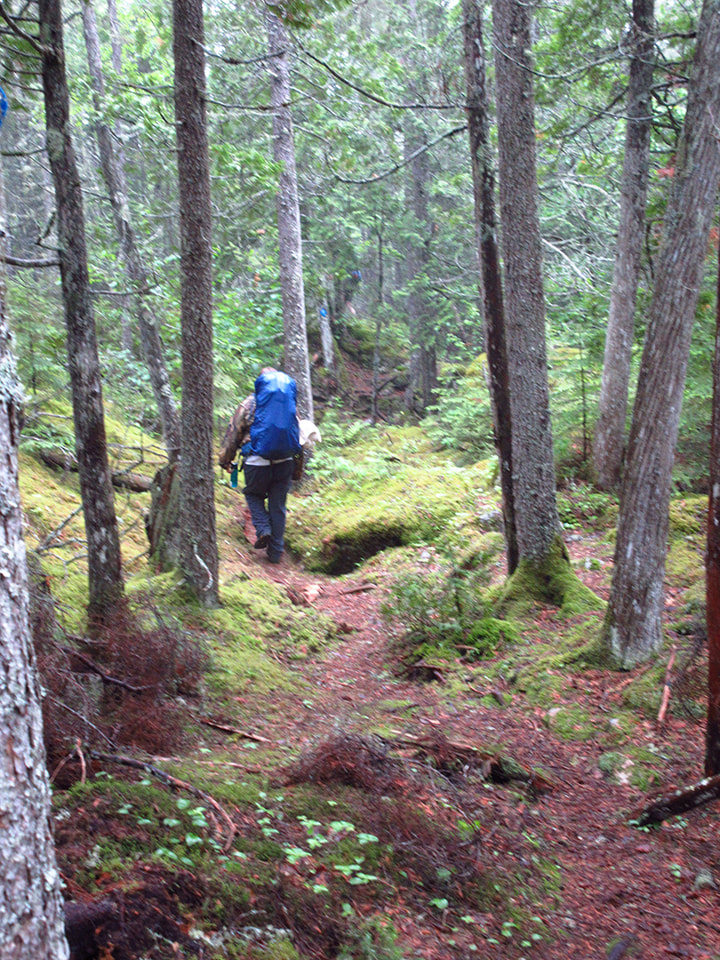
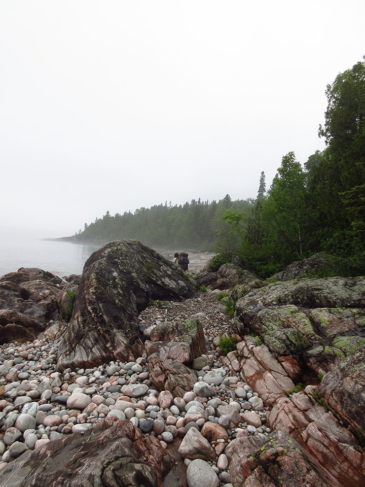
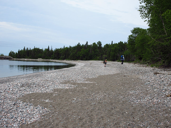
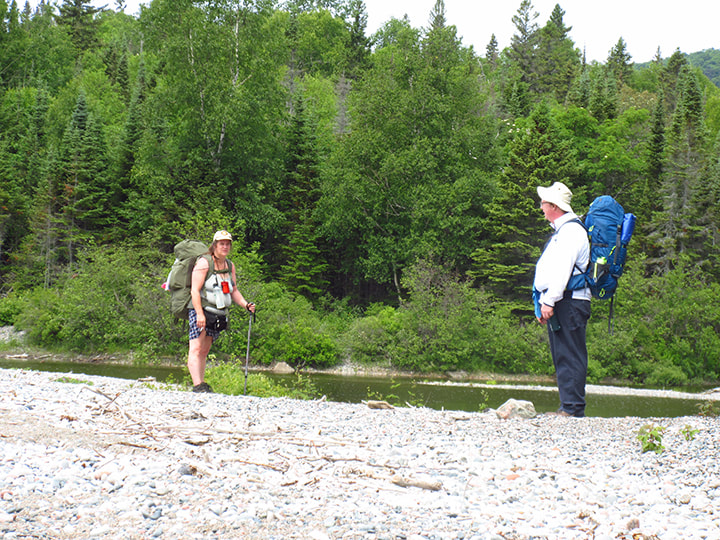
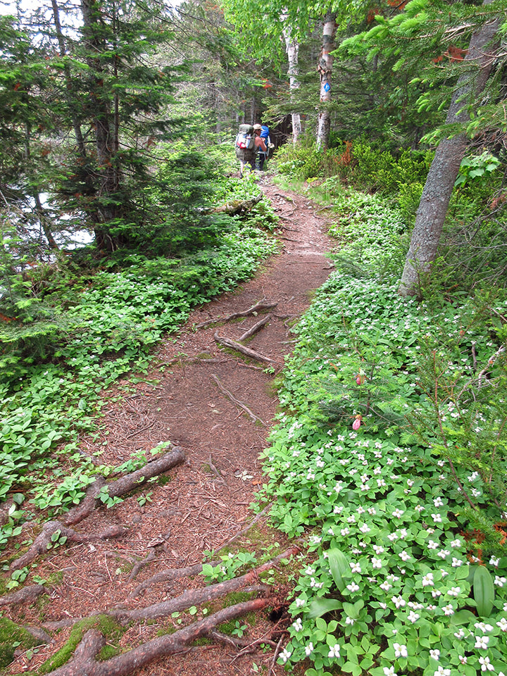
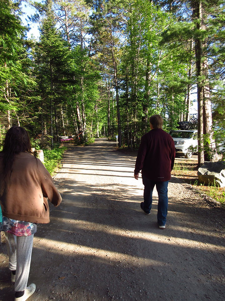
Heather and Kelly hiked on ahead while, as usual, Carsten and I took it a bit slower and were further behind. 
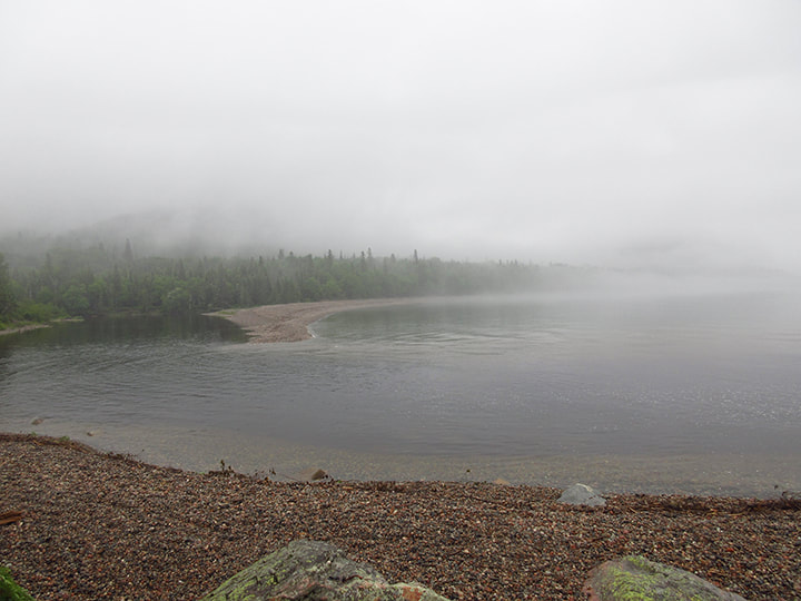
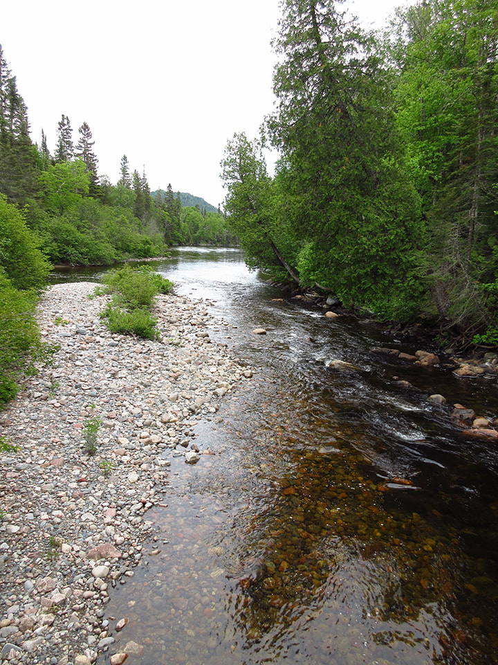
The day was beautiful and sunny and we were in good spirits. 

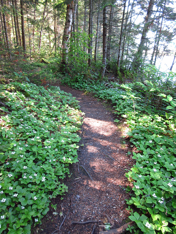
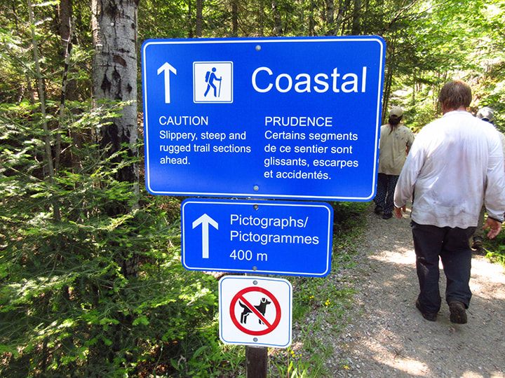
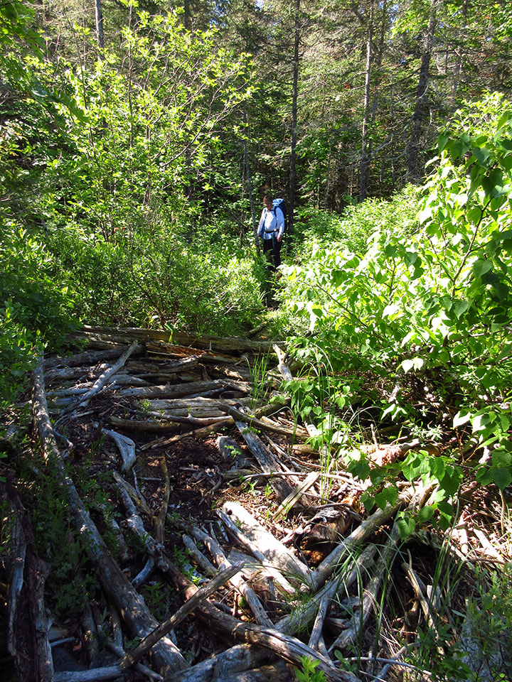
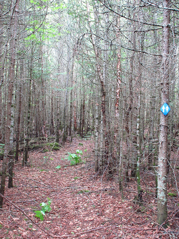
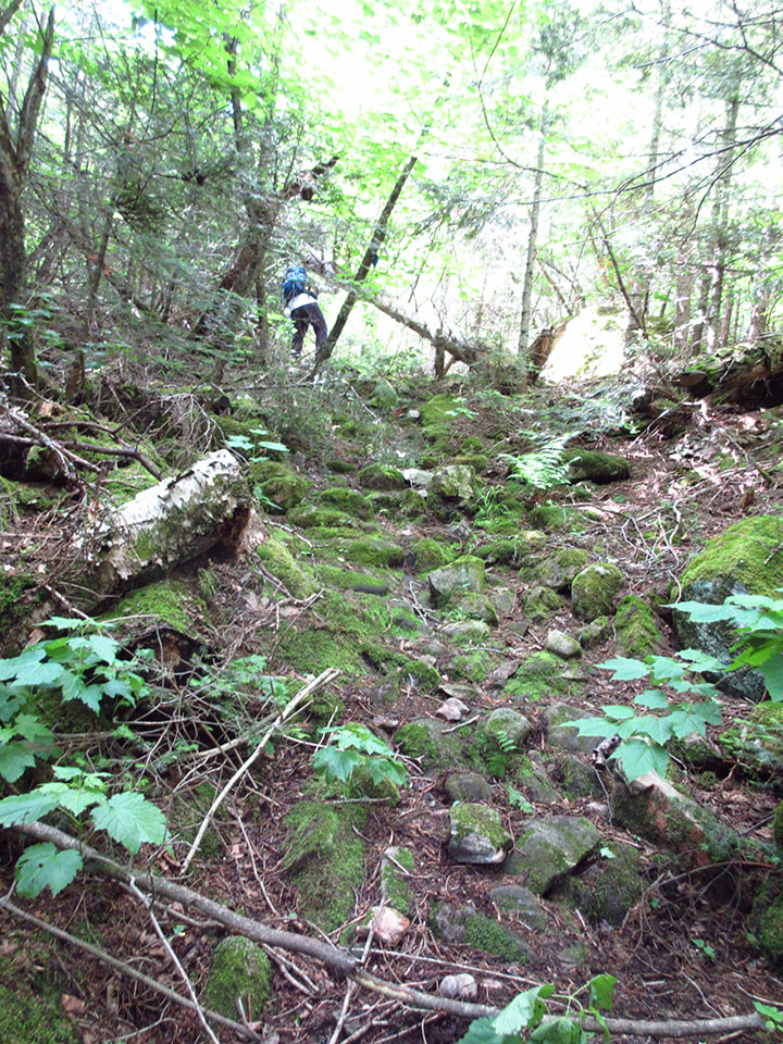
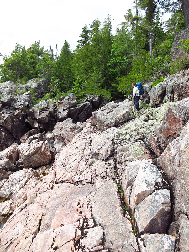
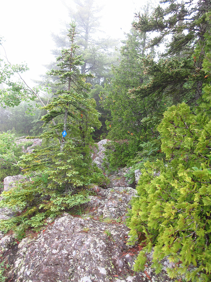
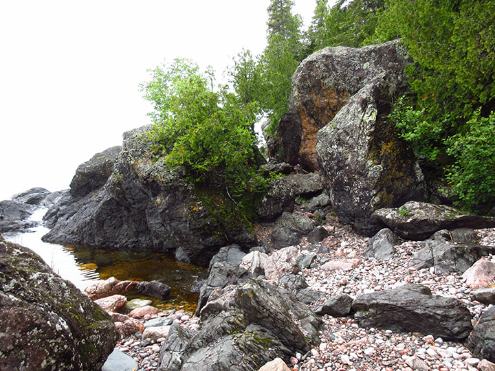
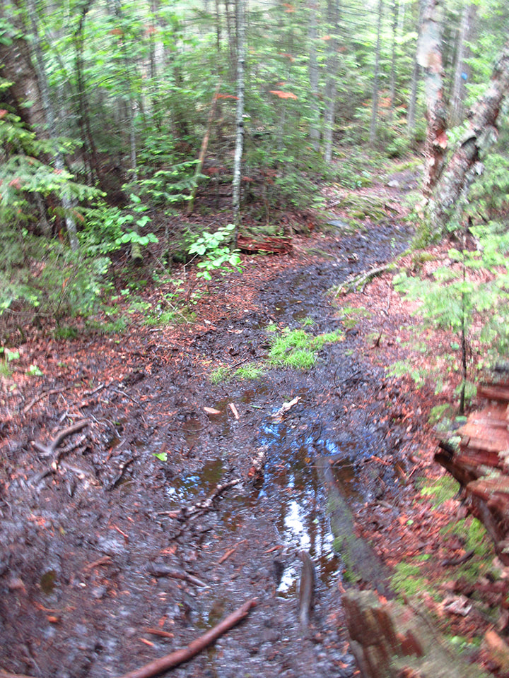
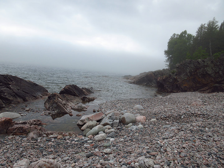
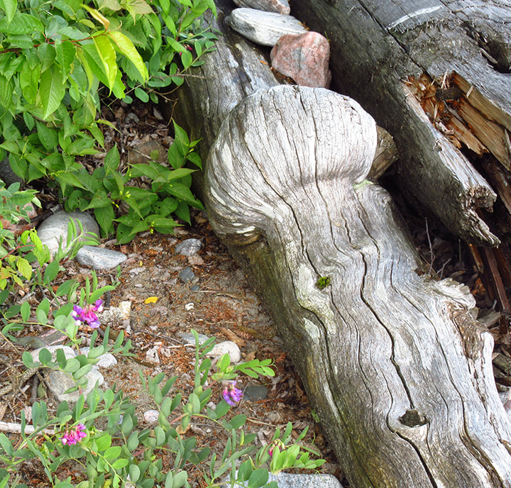
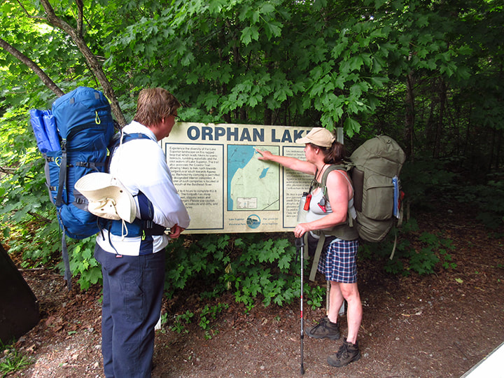
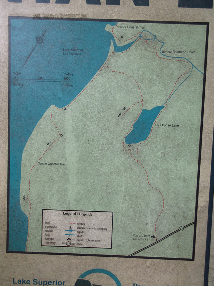
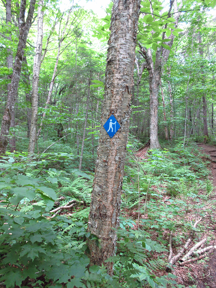
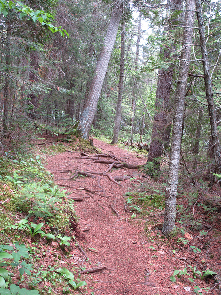
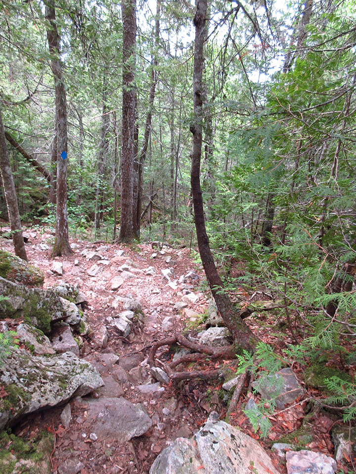
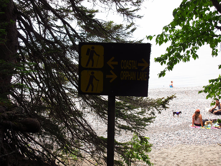
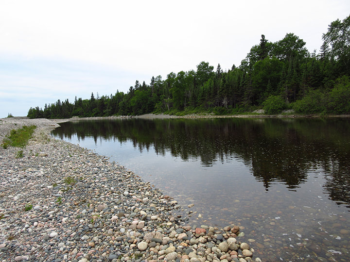
It wasn't long before we had left the Coastal trail and were back onto the Orphan Lake trail. We only had to do half of the Orphan Lake trail to get back. Originally we were going to take the right leg of the trail on the way back because we took the left leg to get here. We figured that then we  would be able to say we had hiked the whole Orphan Lake trail. However, after discussing it with Kelly, who had hiked the trail before, we had come to the conclusion that the left leg of the trail was nicer than the right. And so we went down the same trail that we had come in on. 
Picture
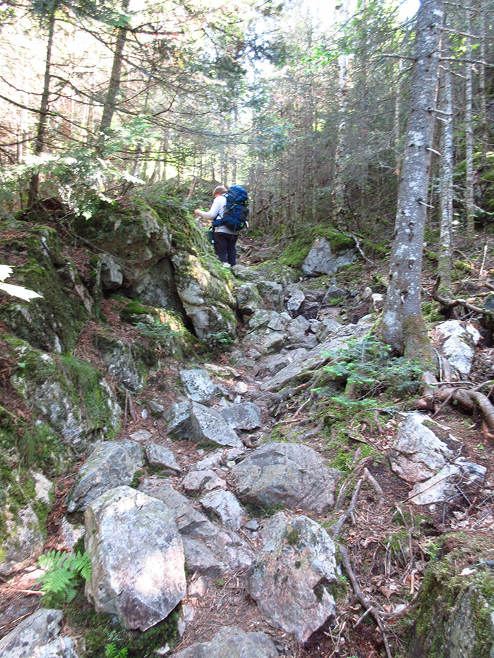
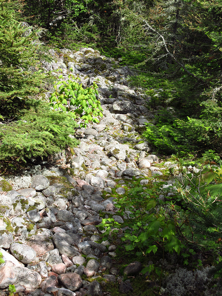
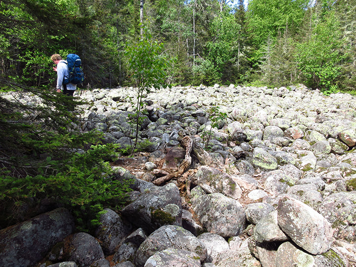
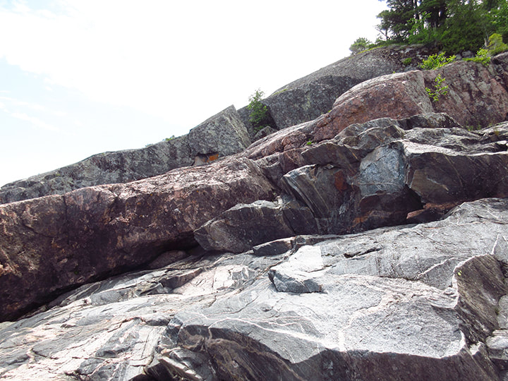
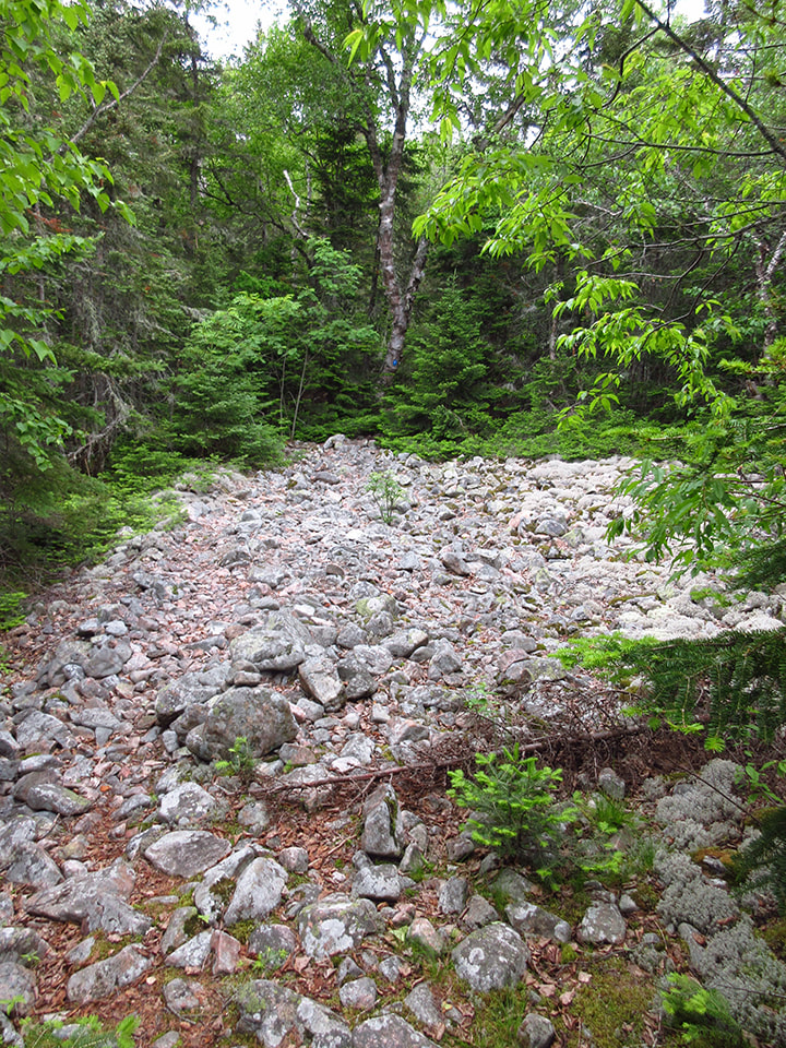
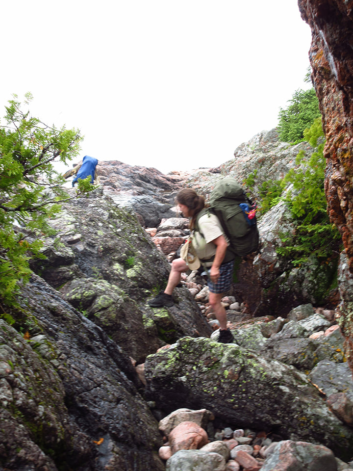
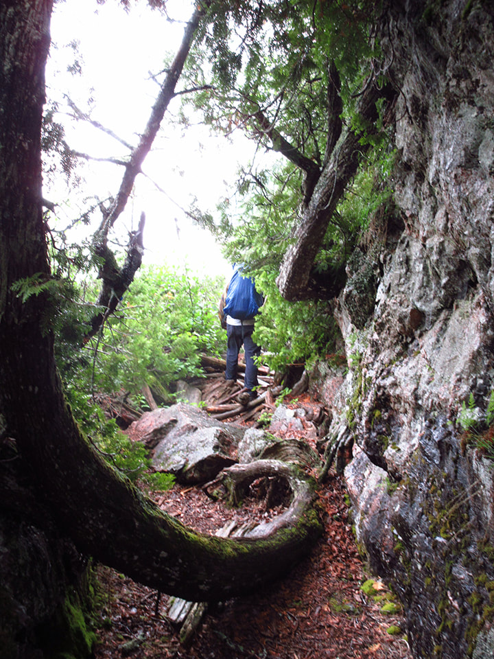
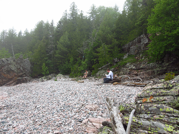
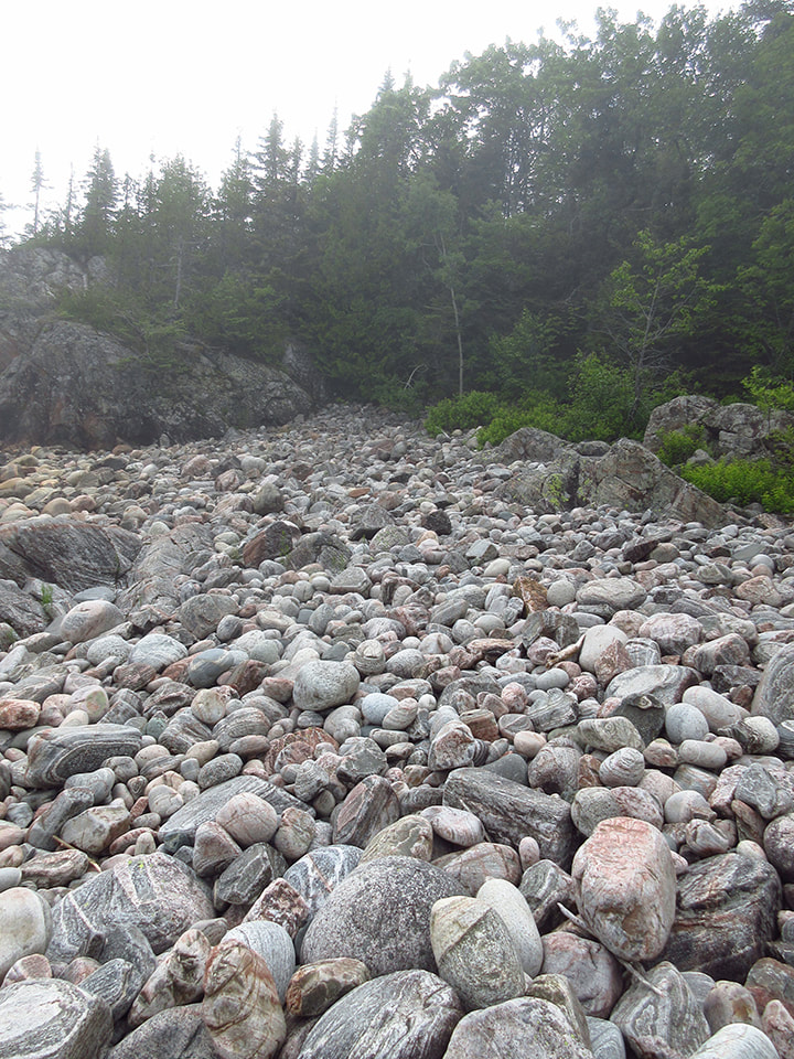
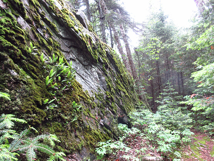
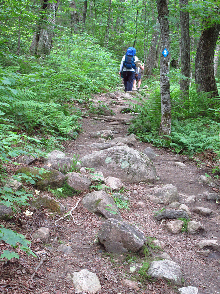
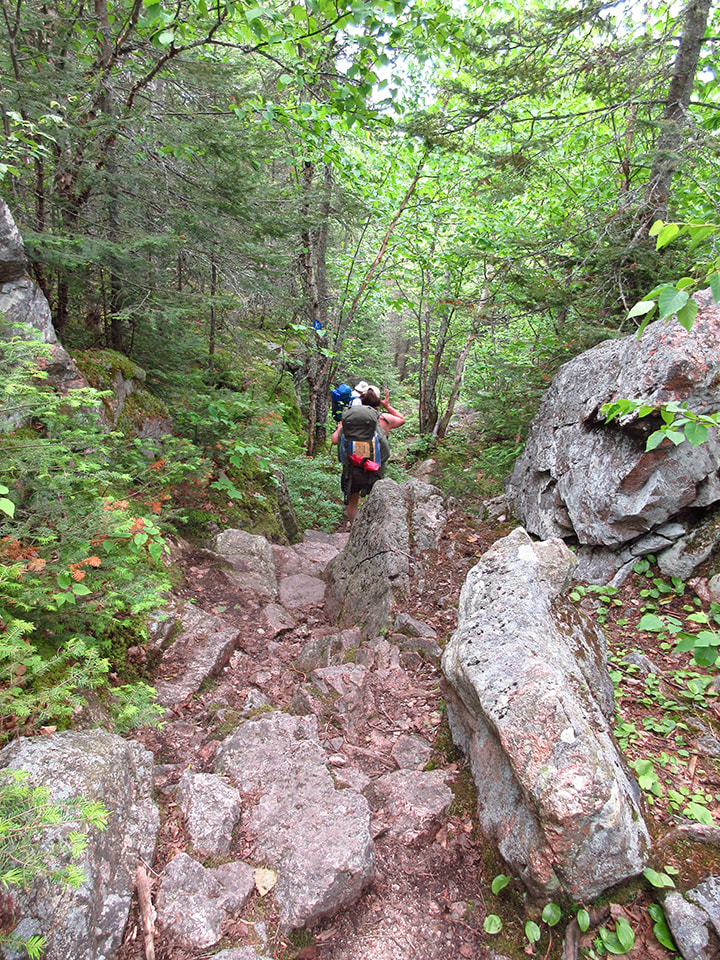
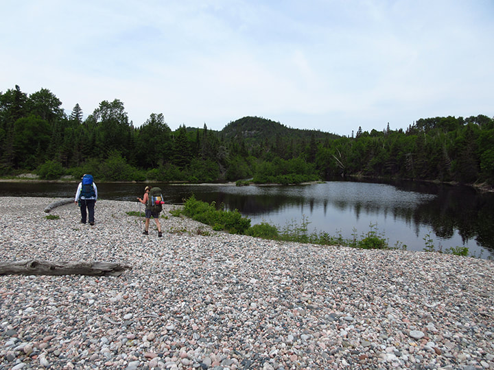
This meant that we knew exactly what to expect . All we had to do was get up that big rocky hill and after that is would be smooth sailing from there.  When we got to the big rocky hill it didn't seem nearly as bad as we had remembered. After all the other worse terrain we had traveled the past few days, this hill seemed like peanuts in comparison.  That's not to say that we weren't tired when we reached the top though. 
Picture
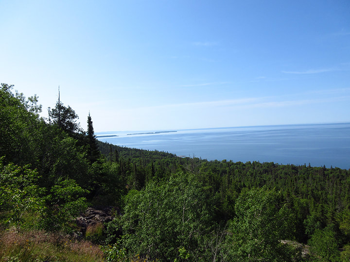
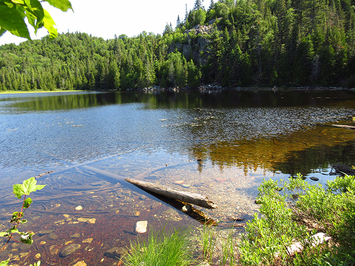
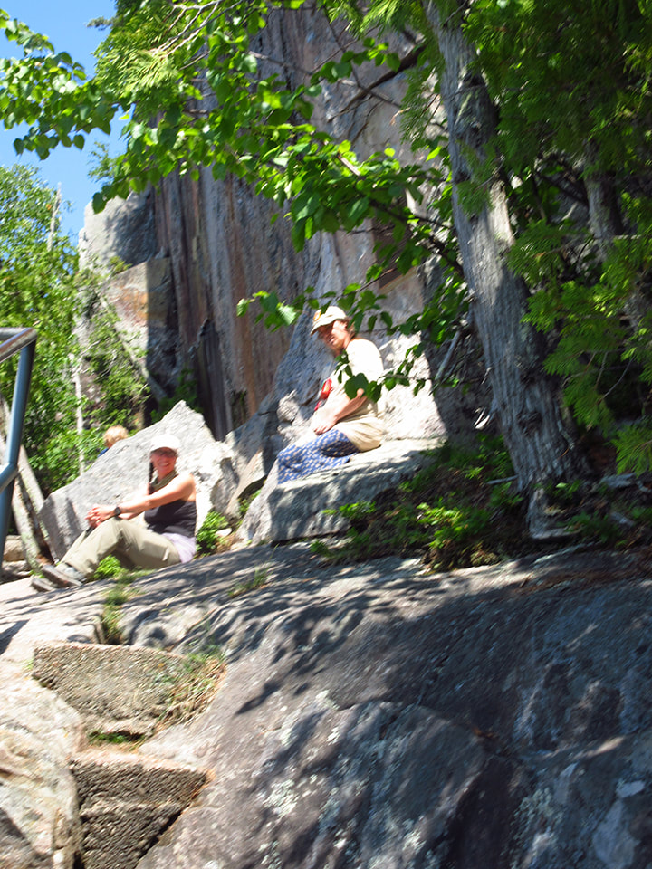
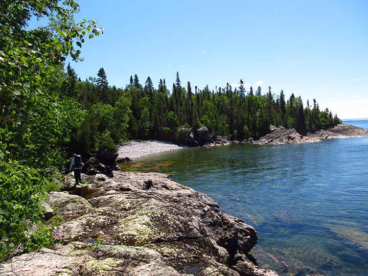
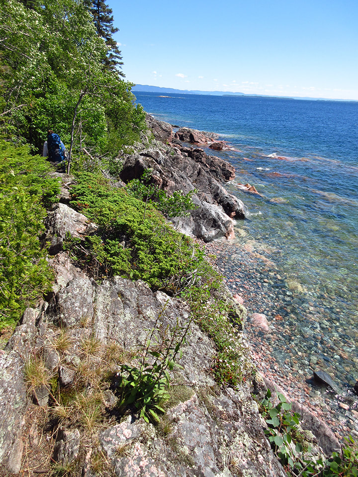
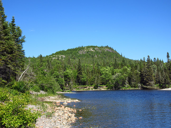
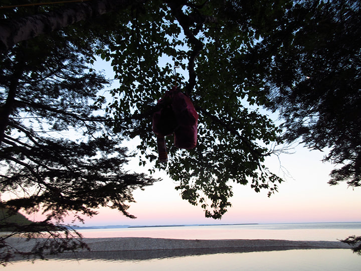
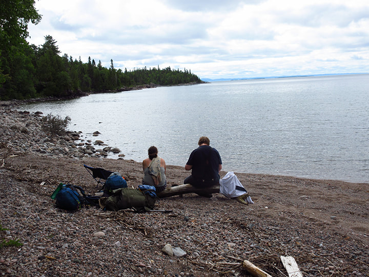
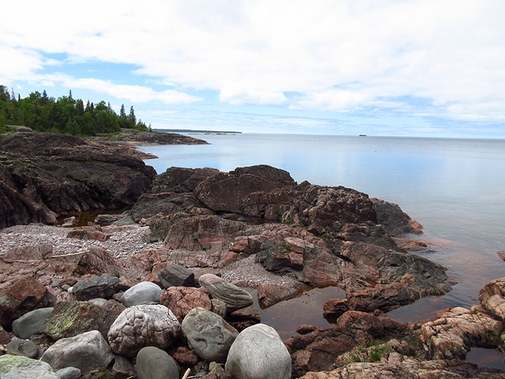
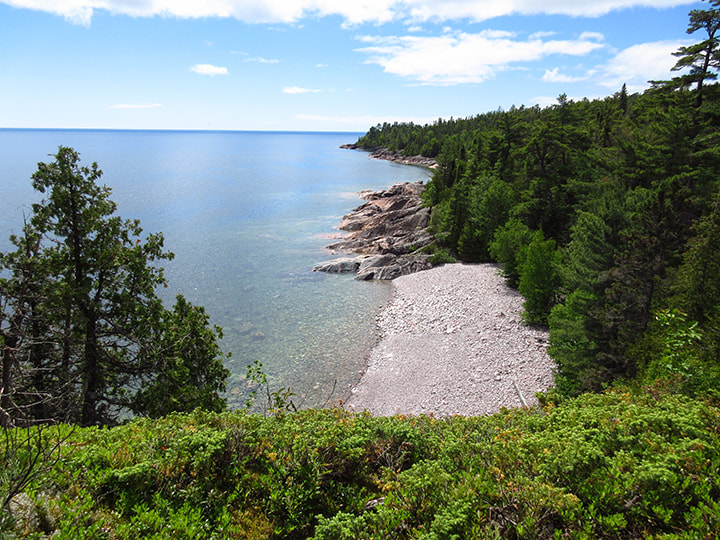
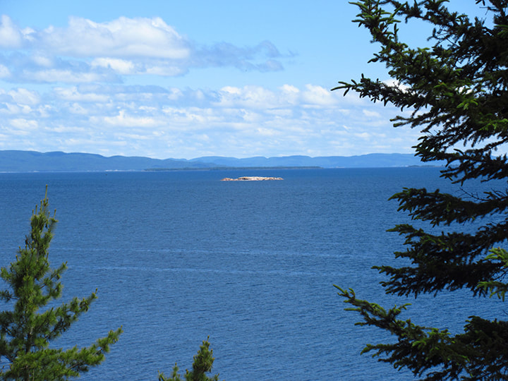
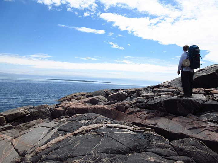
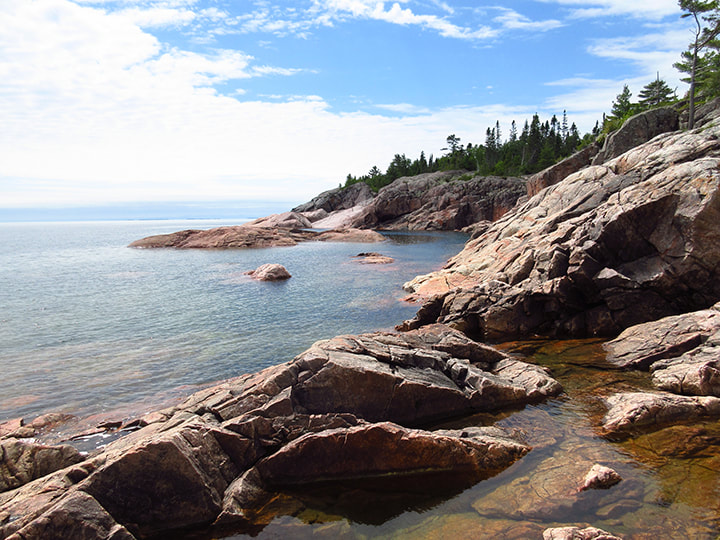
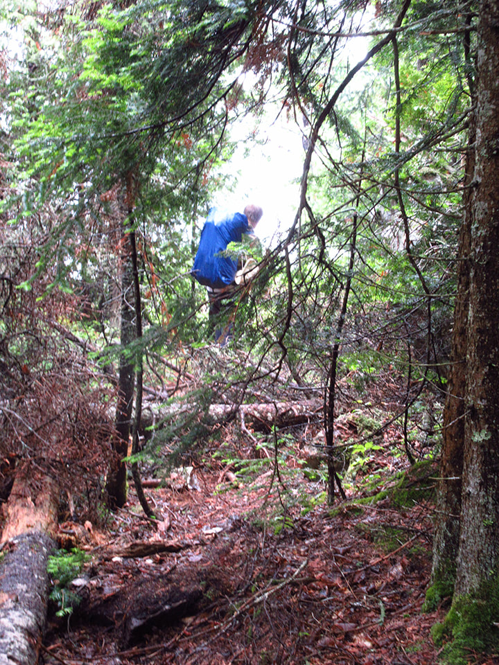
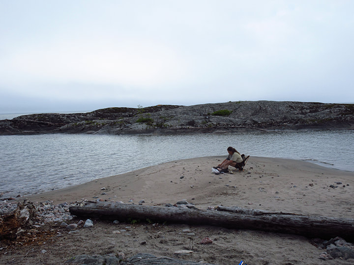
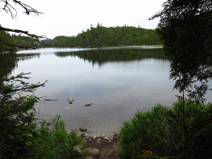
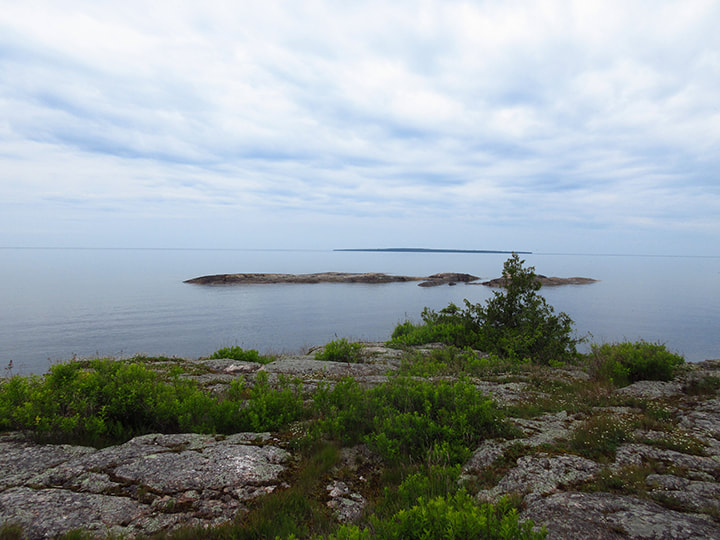
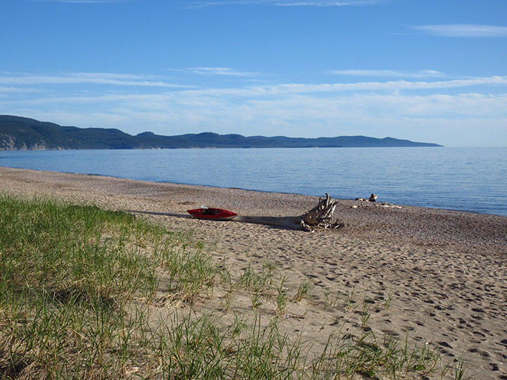
Near the top of the hill we caught up to Heather and Kelly who had stopped to take a break and a little detour.  They pointed to a path that went even further up a hill  and told us to climb up there and go and see the look out.  We thought they were crazy. There was no way that we wanted to climb anything more than we absolutely had to, and this was not  a necessary climb to get us back to camp. So, naturally we refused at first.  But then they said that we wouldn't regret it and they somehow managed to convince us to go up. We took off our backpacks and made the extra climb. 

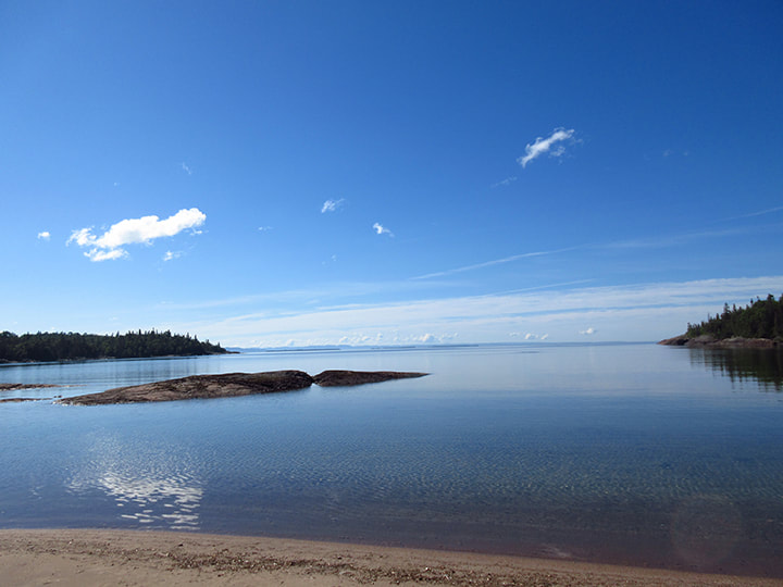
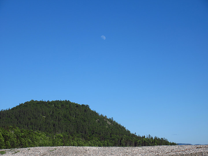
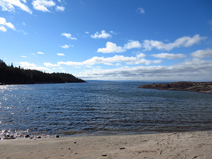
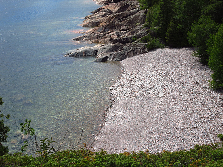
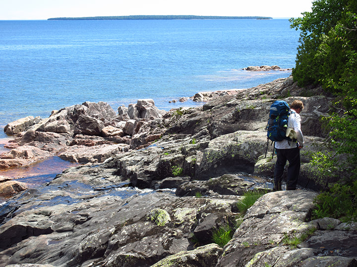
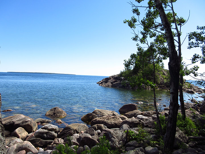
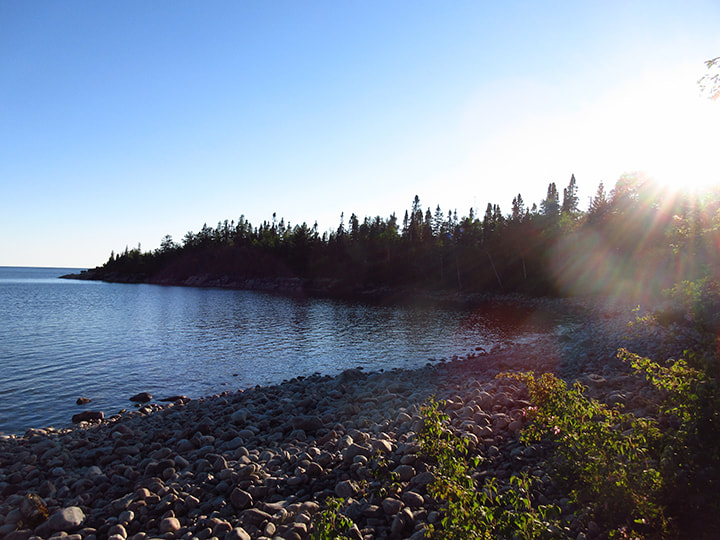
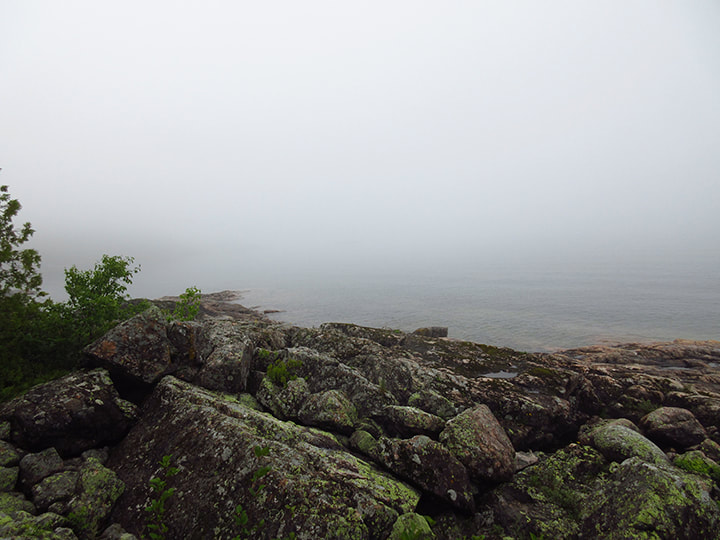
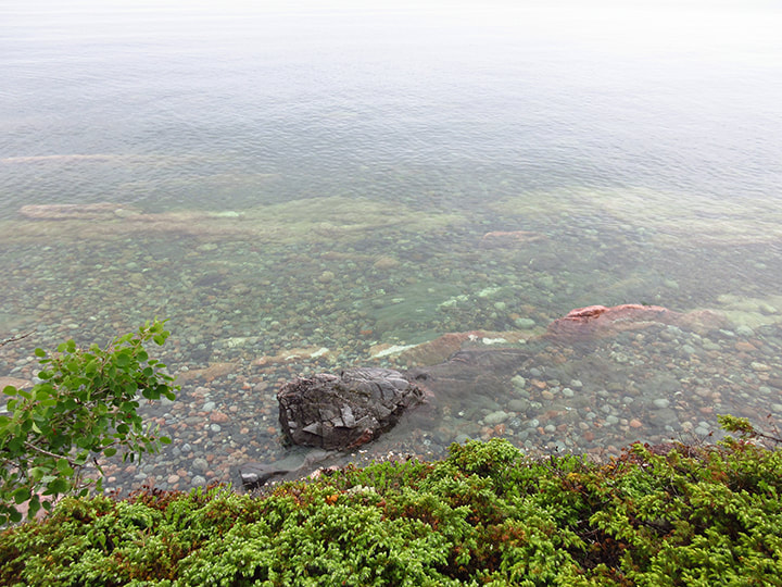
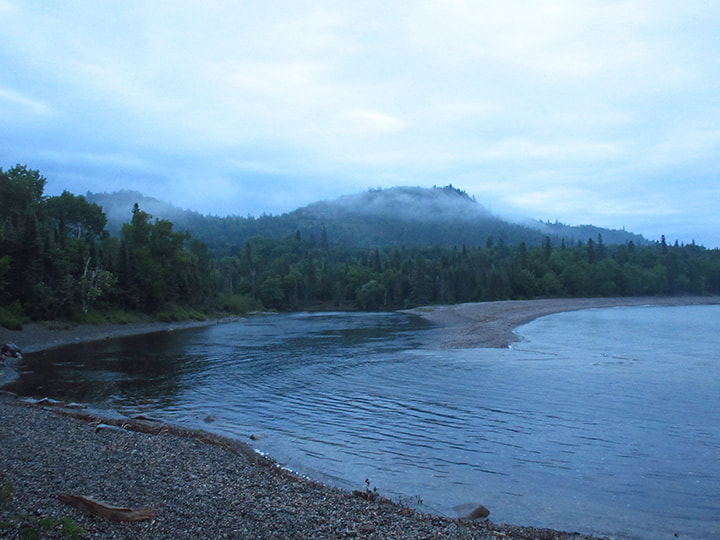
And of course, they were right. It was definitely worth the extra climb. The view of the lake was breathtaking!
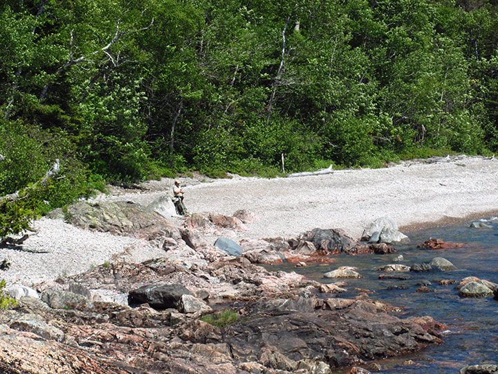
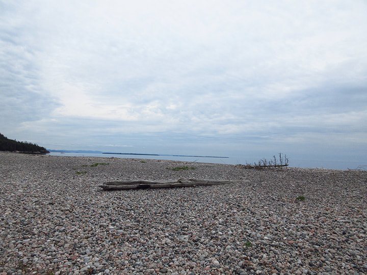
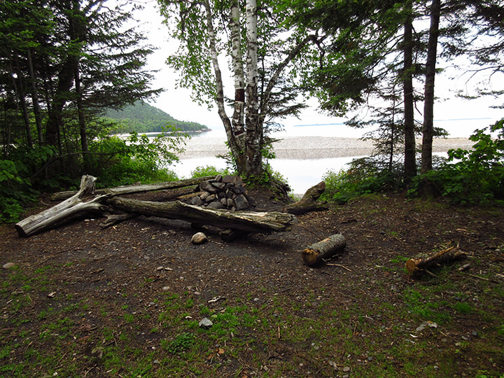
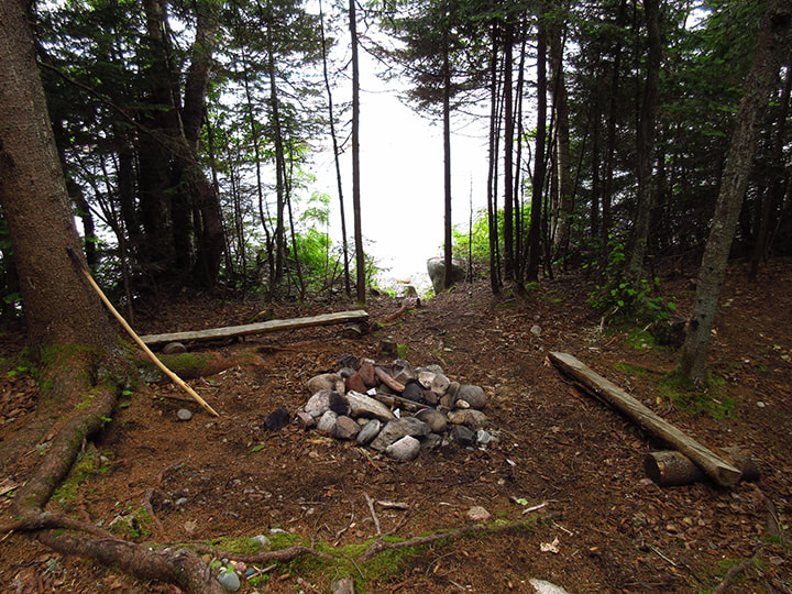
And we could see the Baldhead campsites where we had slept last night. It looked so tiny in the distance. 
Picture
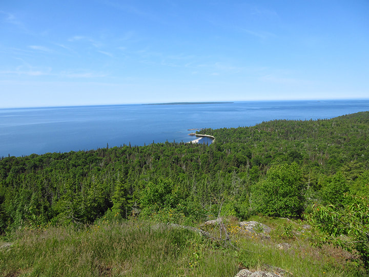
With my camera, I was able to zoom in for a closer view of it. It was hard to believe that we had just come from there.
Picture
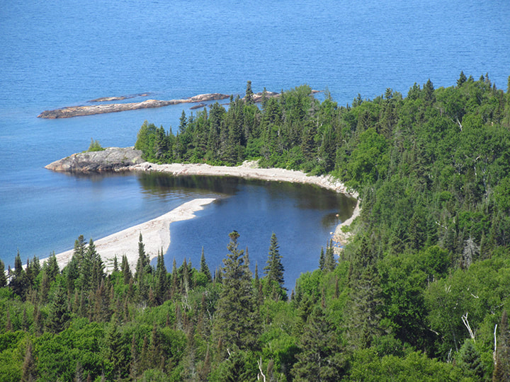
Looking off to the left, we could see how tiny the trees were and we could see clear across the lake. It was one of the better look outs I had been to in a long time. 
Picture
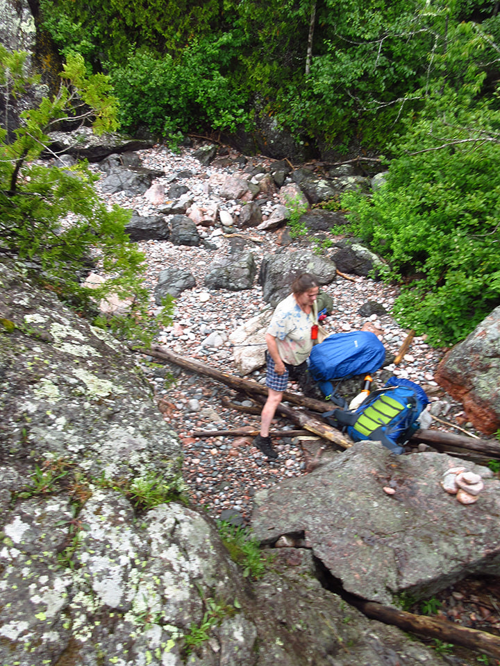
After spending a few minutes up there we eventually came back down and re-joined Heather and Kelly.  As we were putting our backpacks back on, the straps on Heather's backpack fell apart. Thank goodness it fell apart when we were almost done the trip and not when we were in the middle of it. She managed to tie it up well enough that she could still carry it back without  too much trouble, but she will probably need a new pack for any future trips. 
Picture
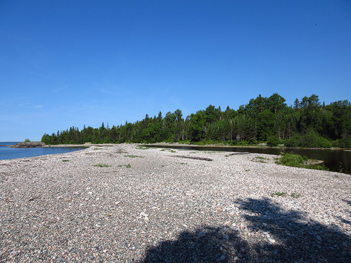
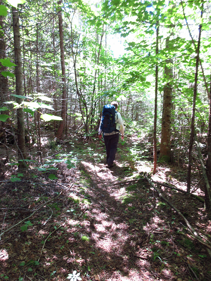
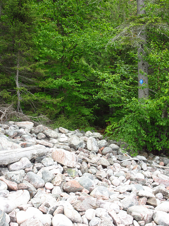
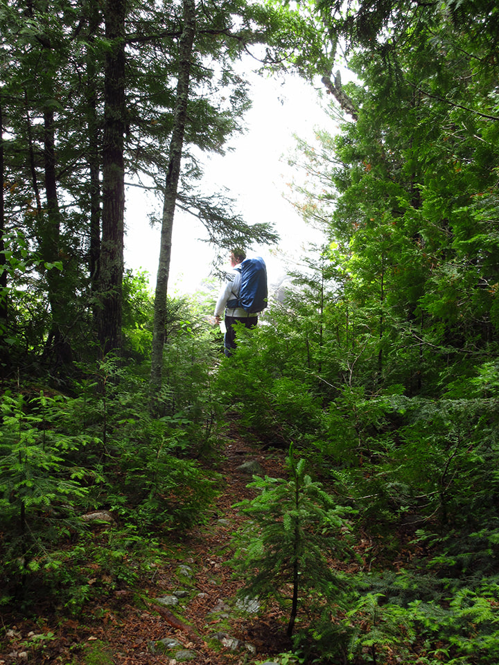
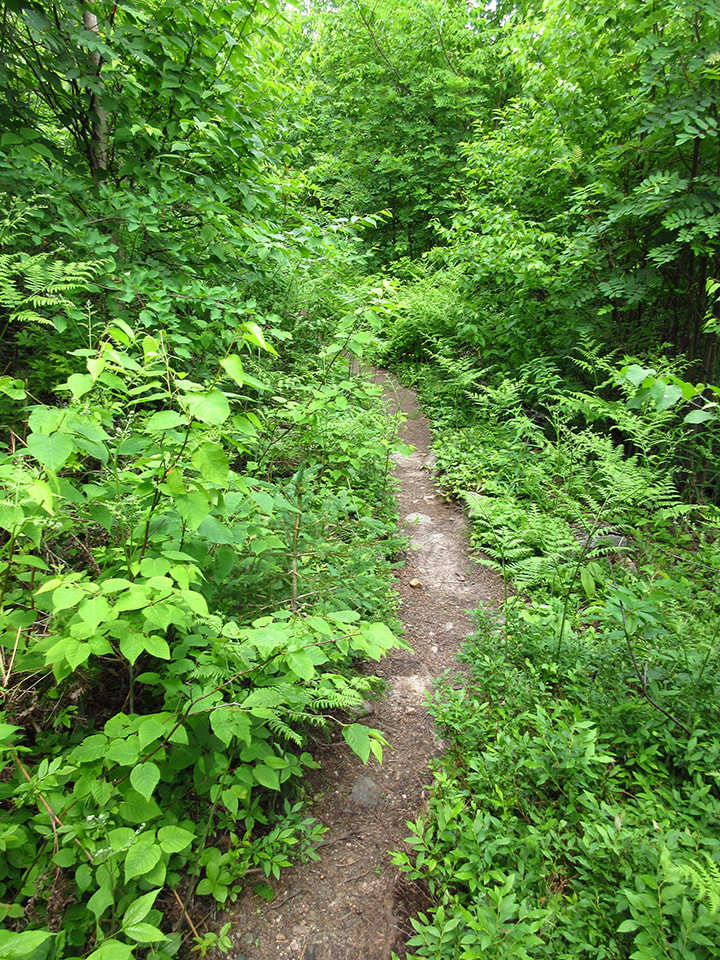
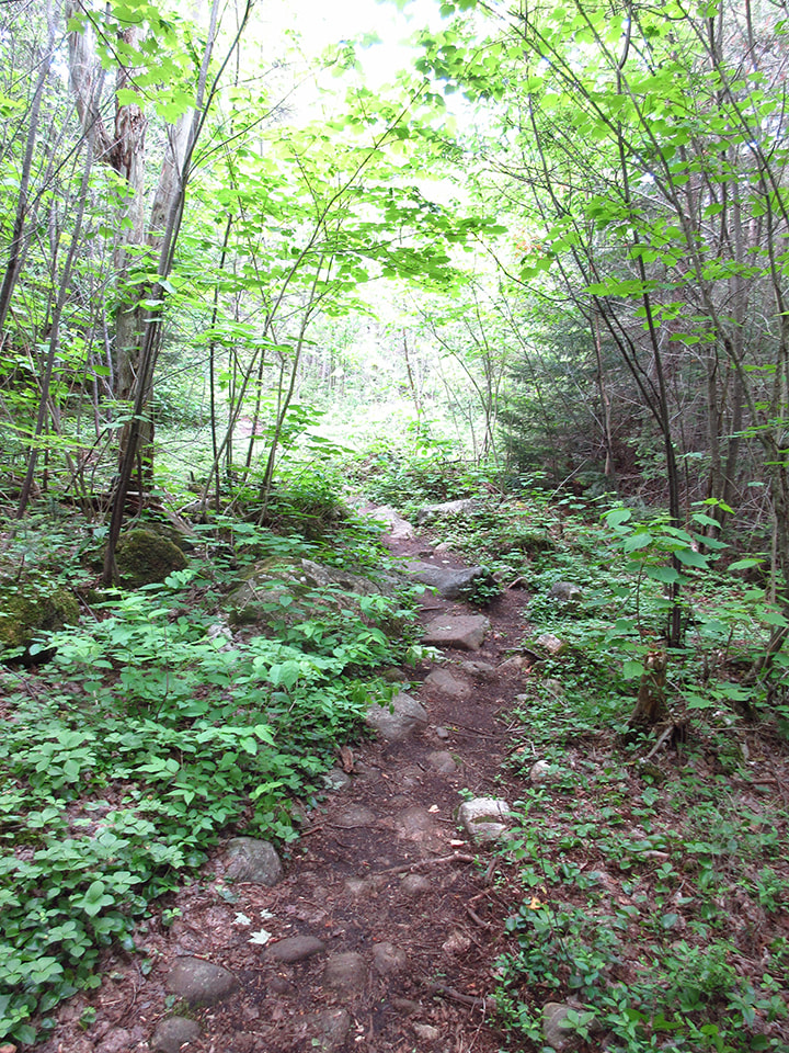
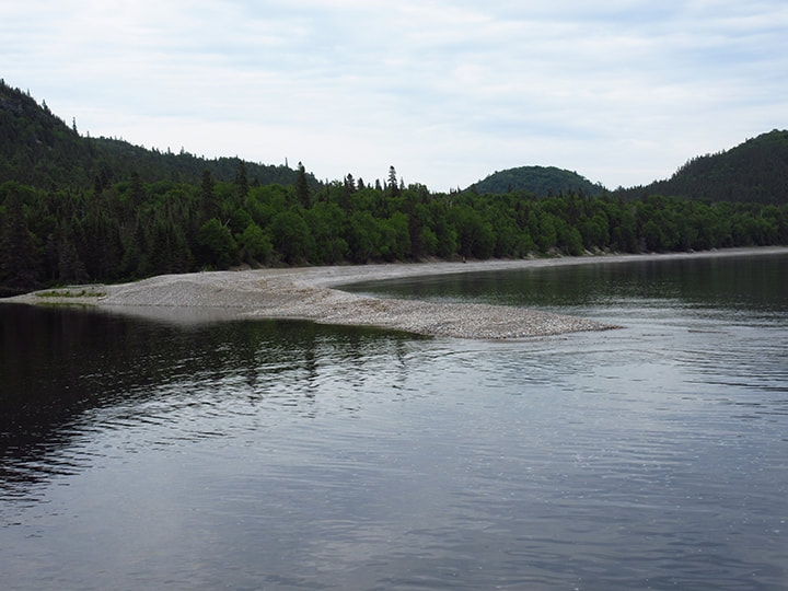
After the big hill everything was smooth sailing. The terrain became easier and easier as we went. We started to see more people on the trail. Most of them were just doing a day hike and had no backpacks. 
Picture
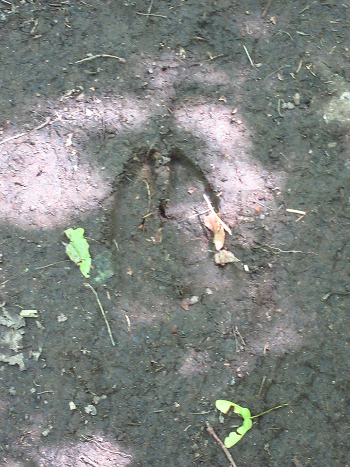
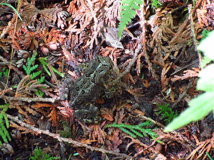
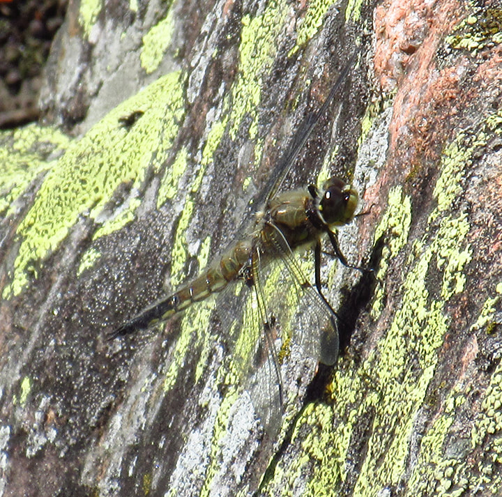
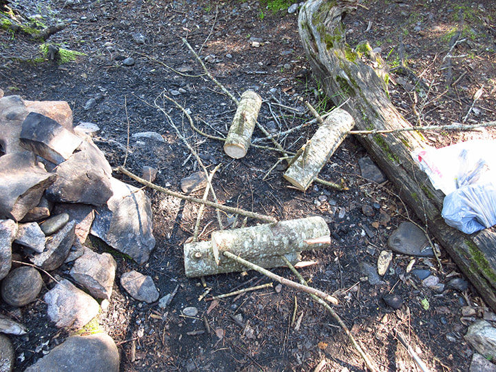
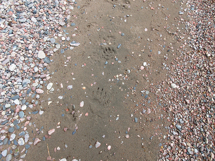
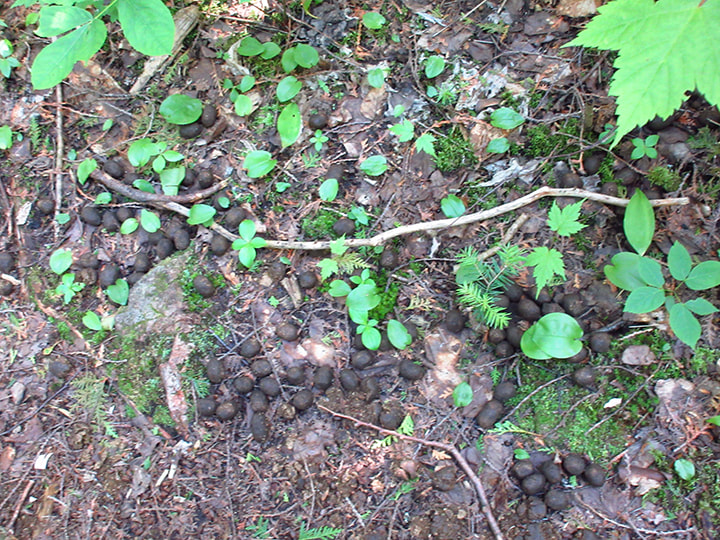
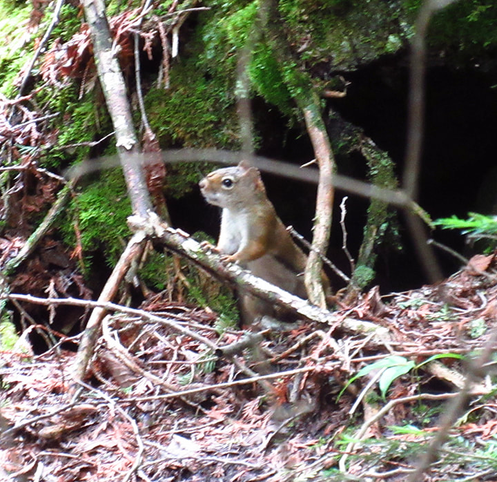
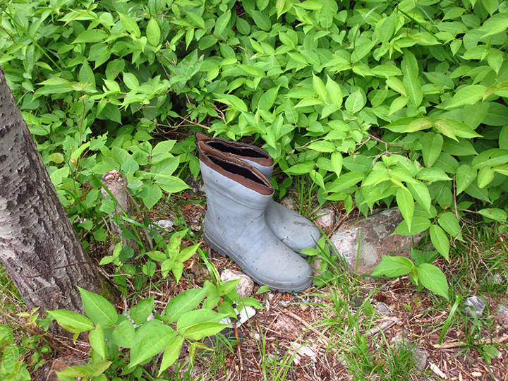
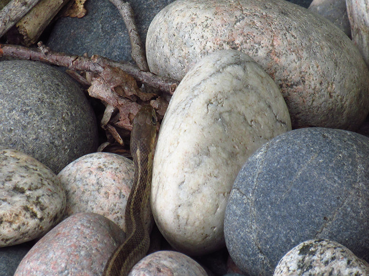
People weren't the only thigs we saw.  We also saw a moose print in the mud. Seemed relatively fresh, but we did not see the moose that went with this print. 
Picture
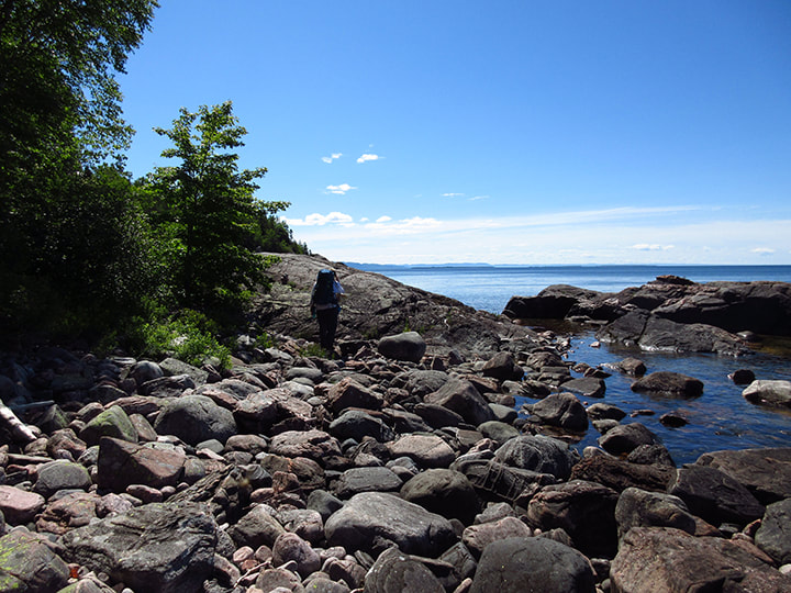
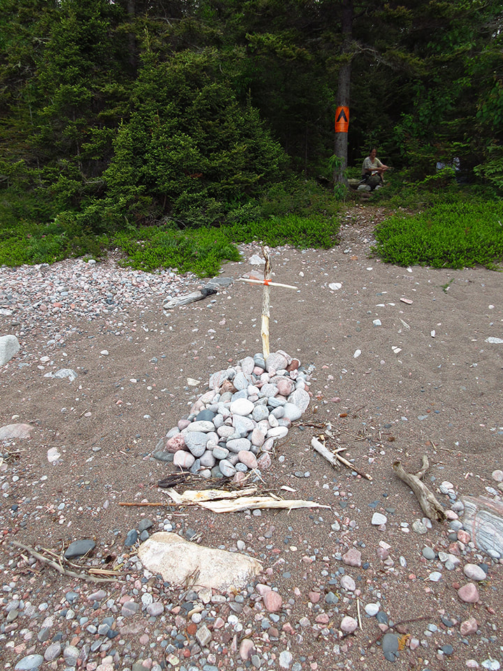
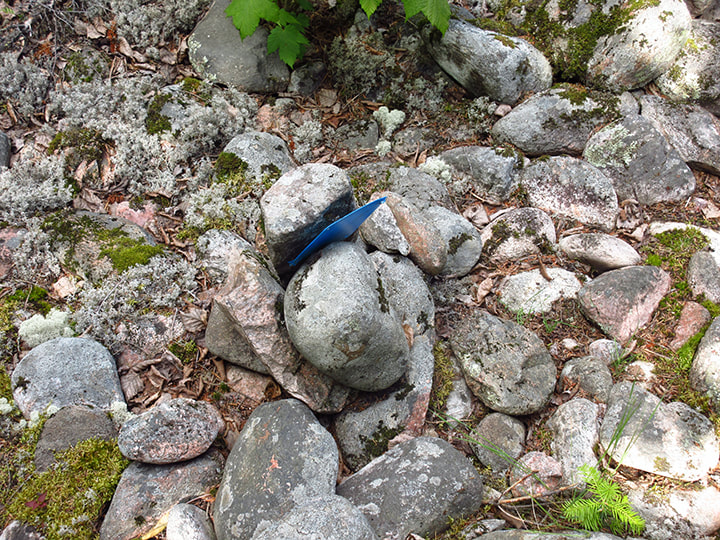
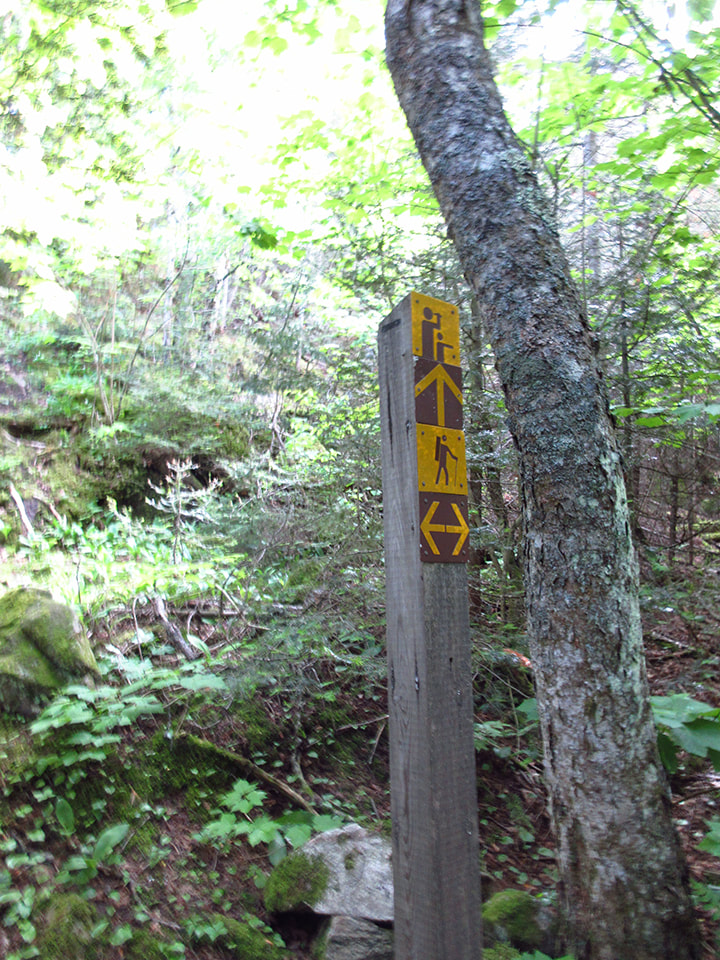
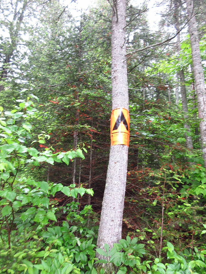
Soon we were seeing markers that indicated the direction towards the parking lot. We knew we were getting close! Then it wasn't long before we could hear the sounds of the traffic on the highway. It was probably one of the only times we were ever happy to hear traffic driving by. 
Picture
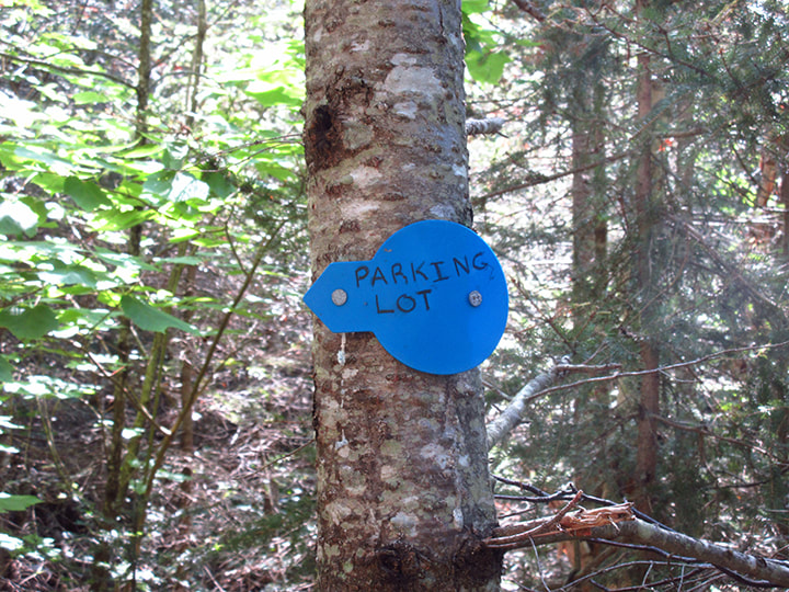
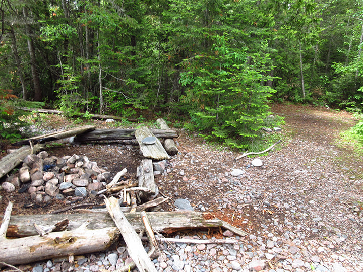
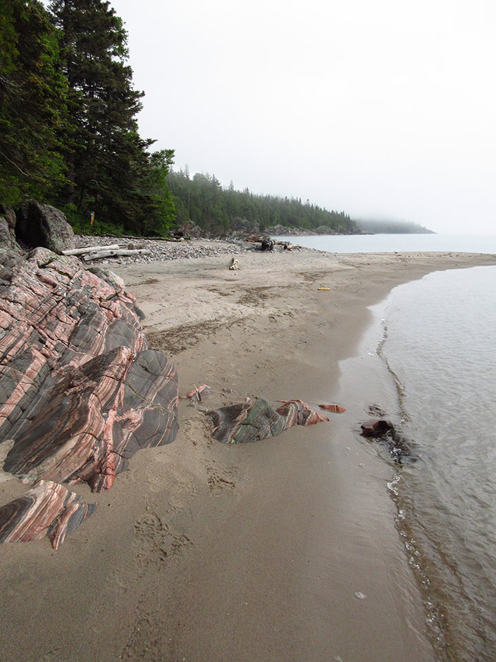
Finally we reached the parking lot!  It was about 12 :15 p.m. We had made pretty good time (about 2 hours) .  In the parking lot we met up with the German family who we had spoken to the day before. They were about to head out to Kilarney Park for a few days. We chatted with them for a bit but not too ling because we were anxious to go and see the pictographs. 
Picture
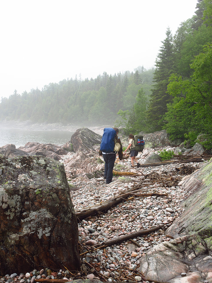
The 4 of us hopped in the car and drove the 10 minutes or so to where the pictographs are.  We were happy to not have to wear our back packs anymore.  There is a "no dogs" sign right under the sign for the pictographs and yet, before we left we saw at least two or 3 dogs at the pictograph site. 
Picture
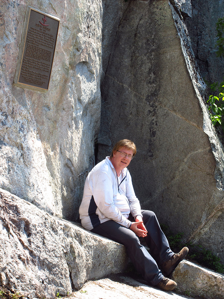
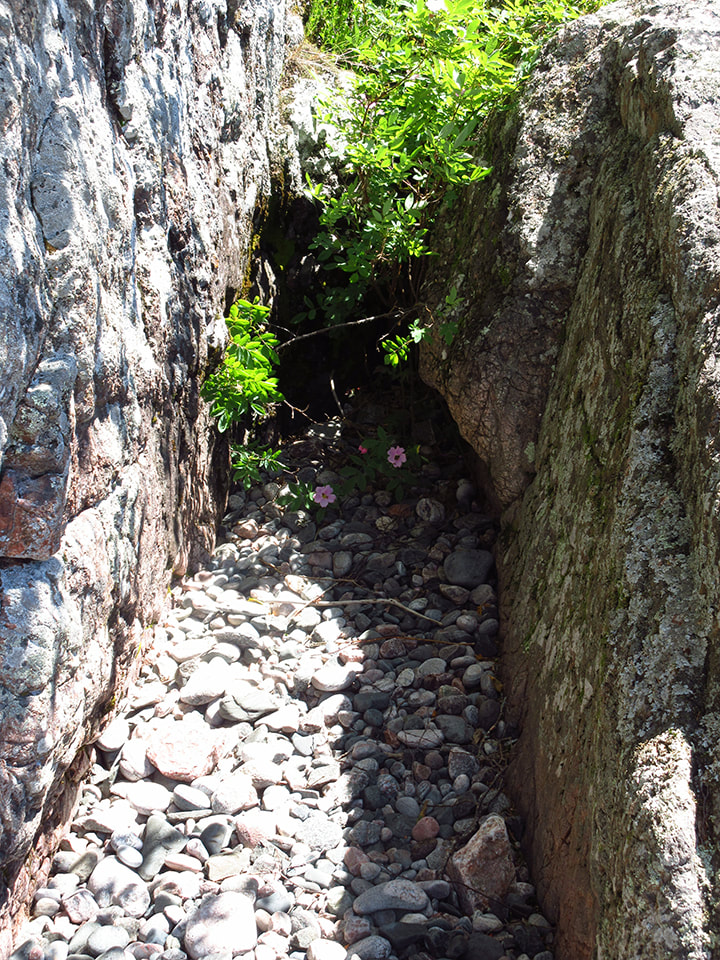
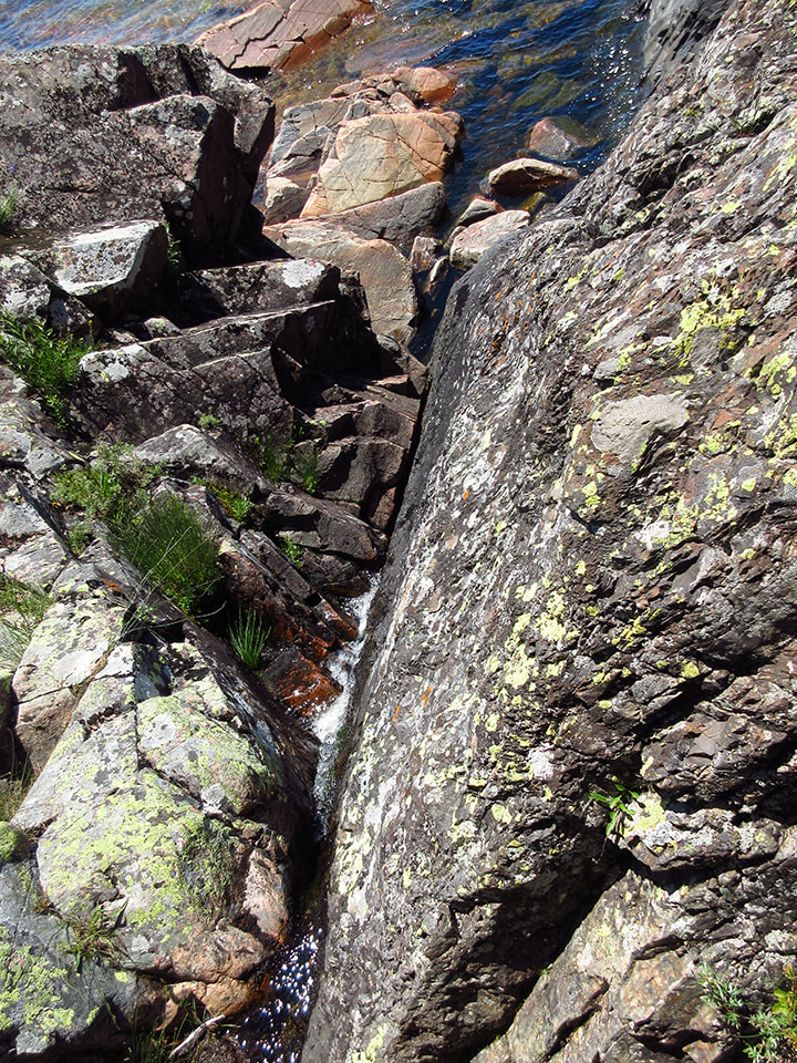
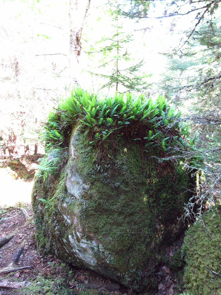
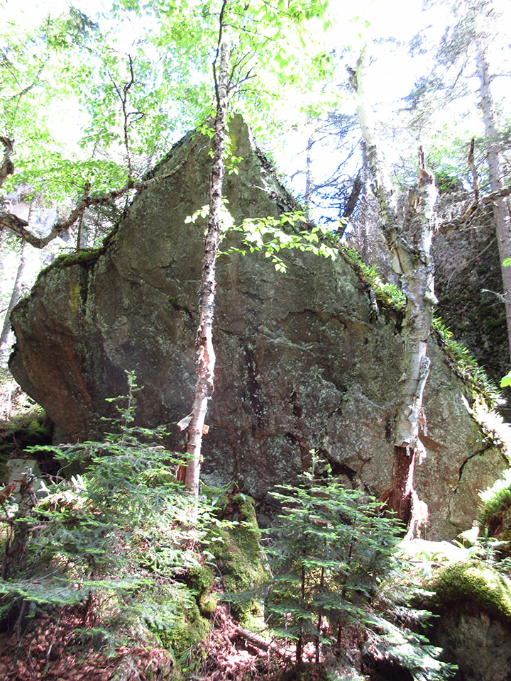
Kelly and I stopped for a moment to admire a huge boulder that was suspended between two rock walls. 
Picture
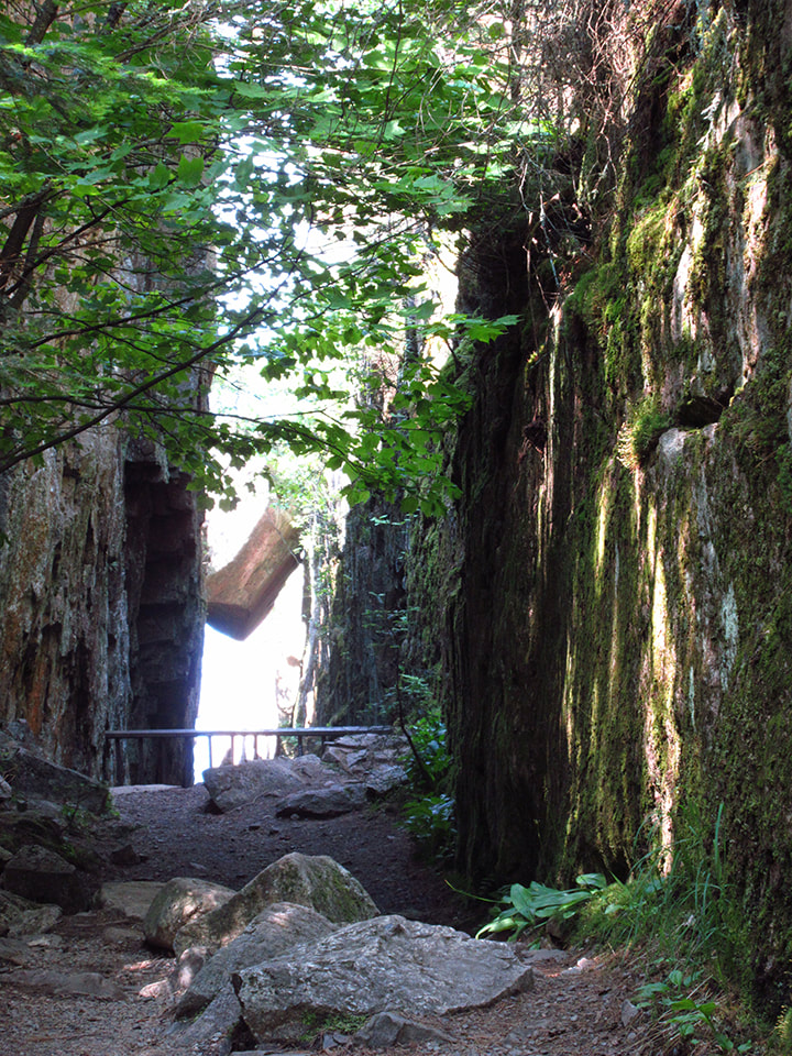
Kelly told me about how when she was a kid she once swam over to this section.  You can see below the boulder where the lake comes up under it.  
Picture
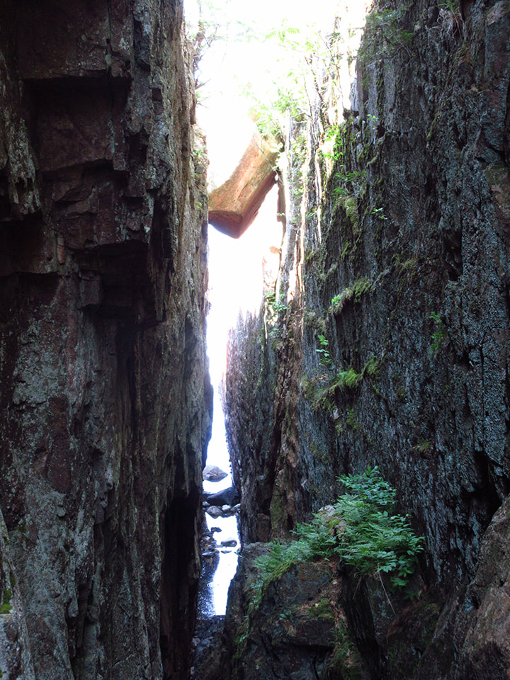
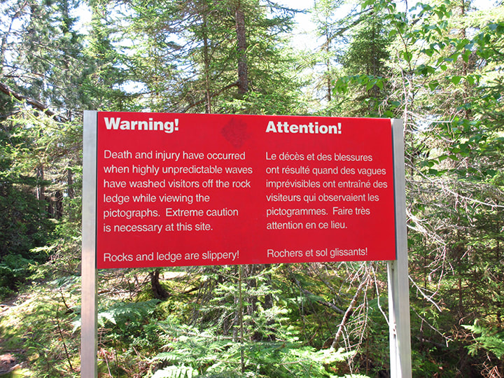
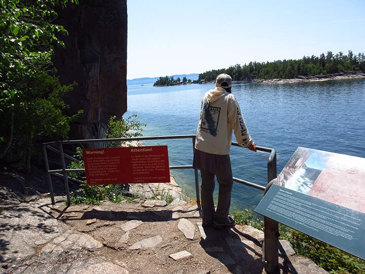
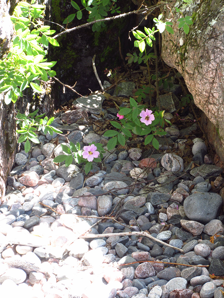
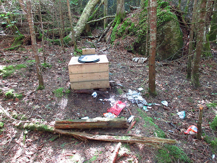
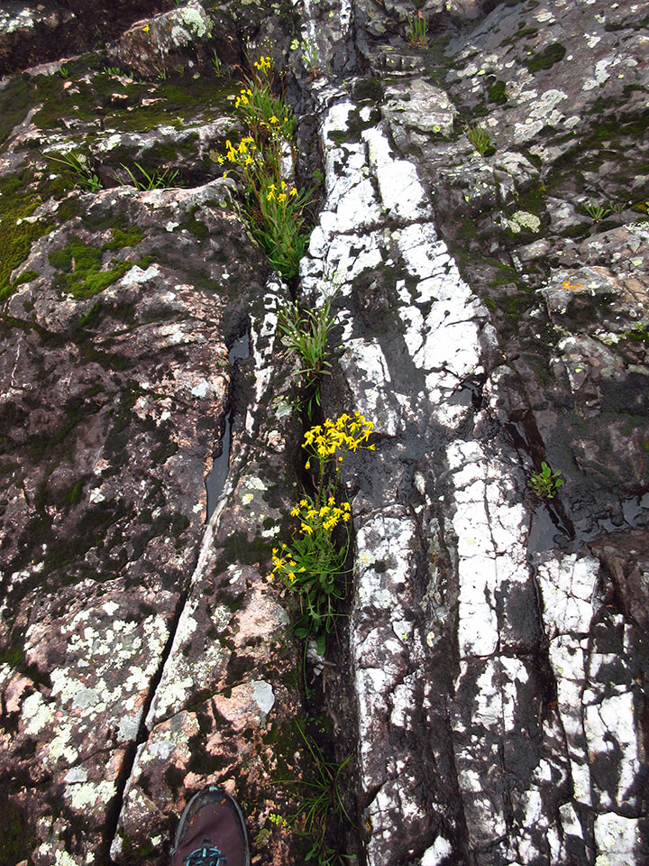
There were large red warning signs about how dangerous the pictograph area can be. Apparently some people had died there. The rocks can be very slippery when they are wet. Once I saw where the pictographs were I completely understood why there were supposed to be no dogs and how people could lose their lives there if they weren't careful. 
Picture
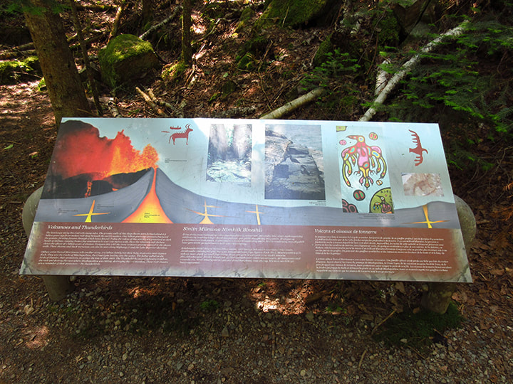
Just before you get to the pictographs there is an informational sign about the pictographs and about the area. 
Picture
When Kelly and I got there, we found my brother waiting for us. Heather was still looking at the pictographs. 
Picture
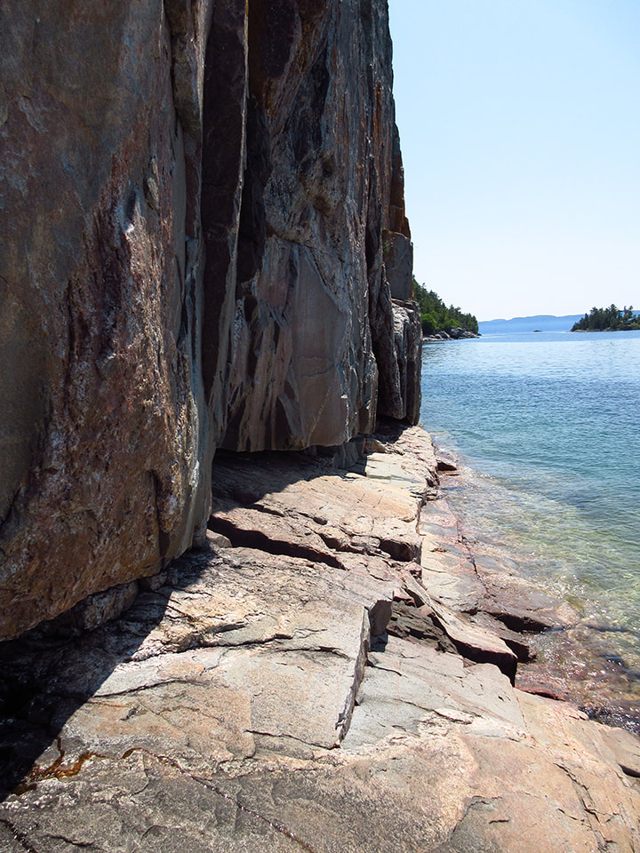
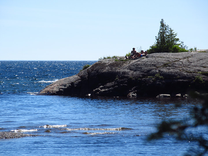
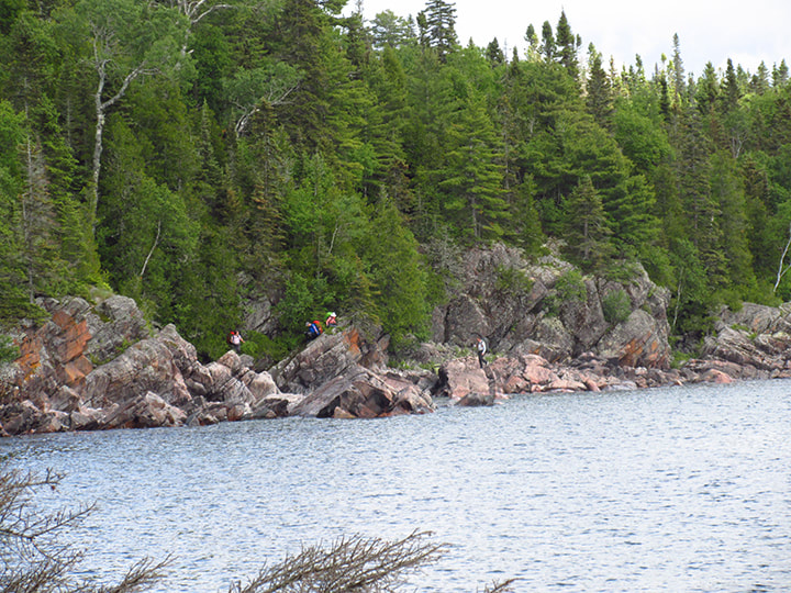
I could see why Carsten was waiting. The way to see the pictographs was to climb out onto a rock ledge that got narrower and narrower the further you went. The rocks were angled down into the water. There was not much room for more than a few people at a time. 
Picture
Kelly waited by the fence while I ventured out before her.  She had seen them before so she let me go first. 
Picture
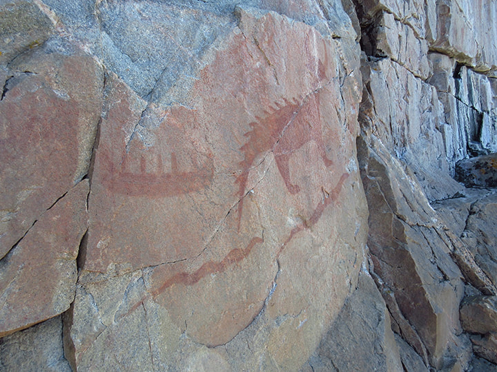
You don't have to go very far before you see the first ones. These ones  were easy enough to see. 
Picture
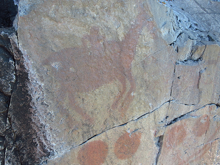
I walked a little further and found the second set.  By this time Heather and a couple other people were coming back so I had to step aside and let them pass. 
Picture
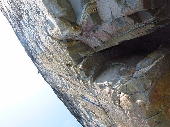
It was a bit nerve wracking because the path was so narrow. There were not a lot of places to hold onto comfortably. The rock walls were fairly smooth. They did provide a chain and a rope to hold onto, however, they were situated close to your feet rather than your waist. So those were not easy to hold onto either.  I was worried about falling into the water and damaging my camera that had all the pictures of my trip on it.  I looked up above me and saw how high up the rock wall went. It makes you feel very small and insignificant when you stand at the bottom of such an enormous structure. It was exciting and scary all at the same time.   I decided not to risk going too much further to see anymore of the pictographs. I had seen a few already and that was good enough for me. So I turned around and headed back to the safety of the guard rails. 
Picture
Heather and Kelly were waiting for me there. 
Picture
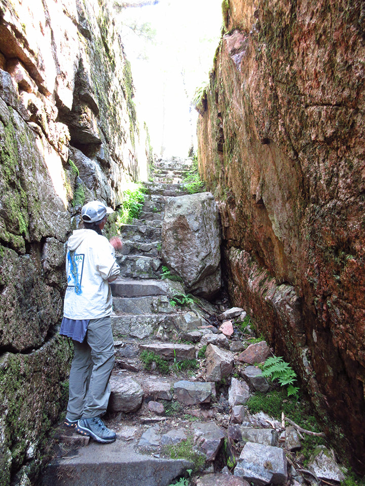
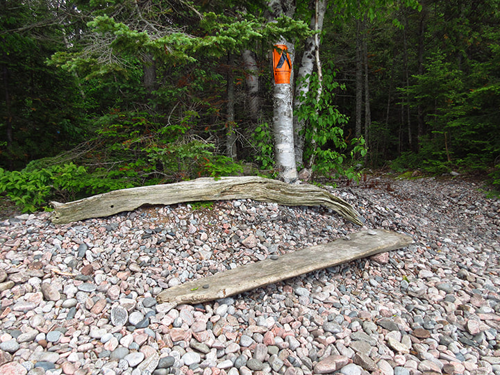
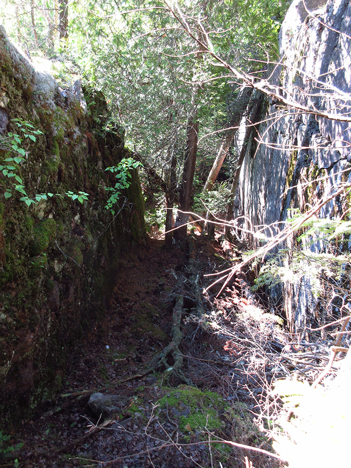
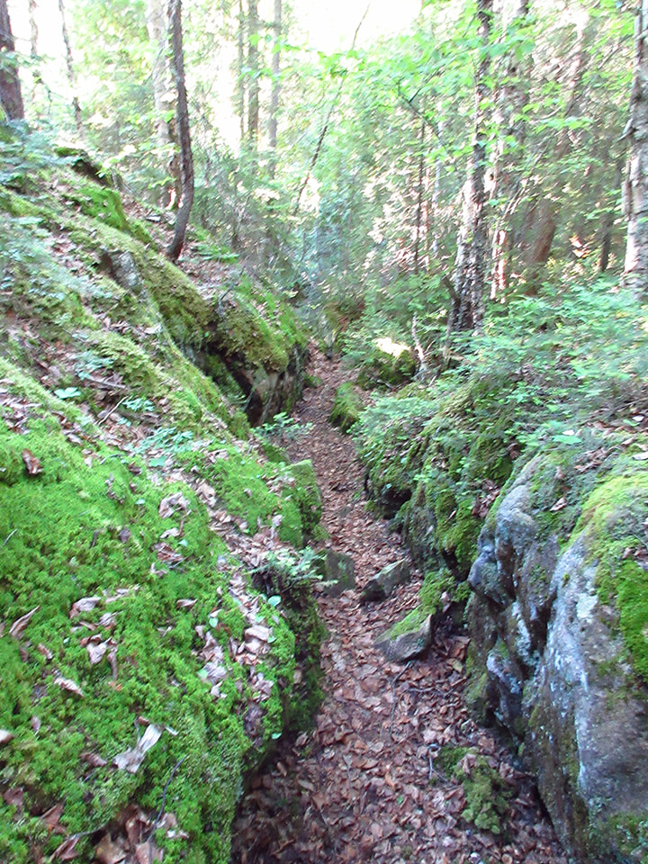
On the way back to the parking lot, we saw a set of stone stairs that we had noticed on the way in. They were situated between 2 rock walls. They were kind of mysterious. 
Picture
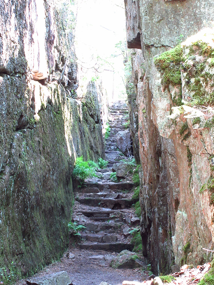
Of course we had to climb them to see where they led to. Turns out they didn't lead to anywhere special. Just to another path that led back to the parking lot. 
Picture
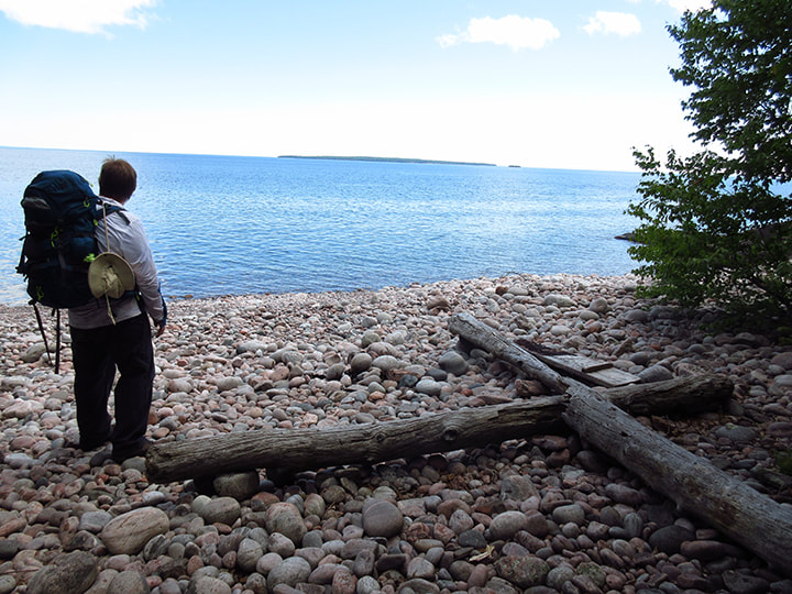
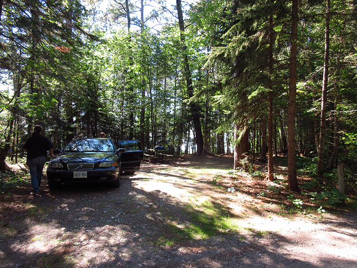
After the pictographs we drove a little ways down the highway and reached the parking lot of the Agawa campground where Kelly's vehicle was parked. Kelly was considering doing more of the Coastal Trail but was not 100% sure how she felt about it. We were all pretty tired.  So she said that if she changed her mind, that she might met up with us again inside the campground.  We told her what campsite we would be at and let her know that we would be happy to have her company if she did want to come and join us. With that we said our goodbyes. 

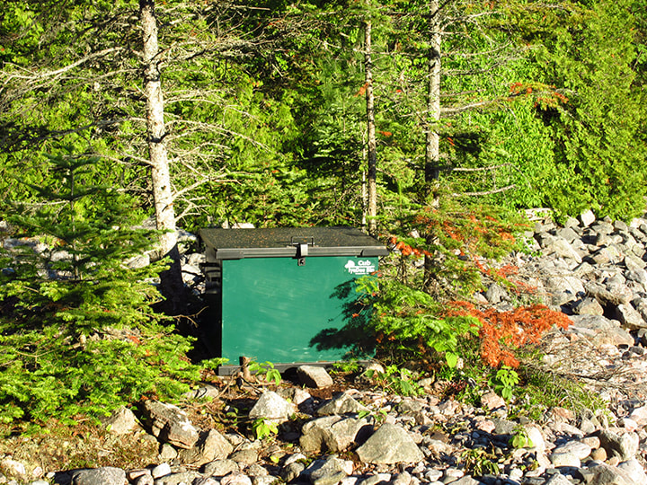
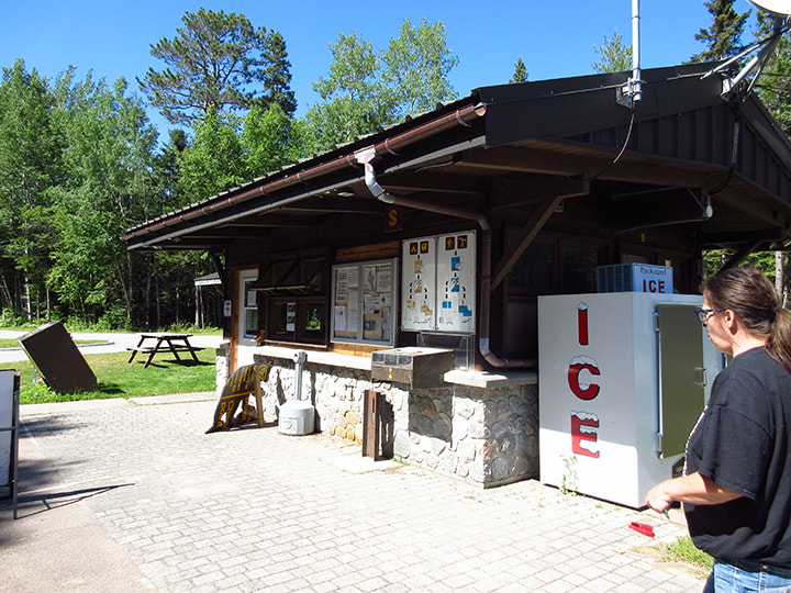
I went to the gatehouse and registered us for our last night in Lake Superior Provincial Park. 
Picture
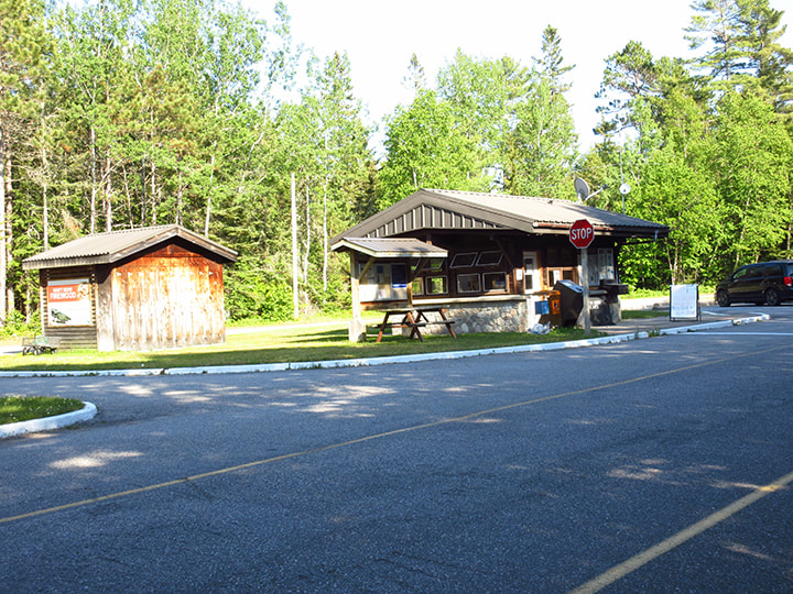
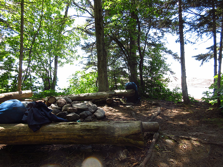
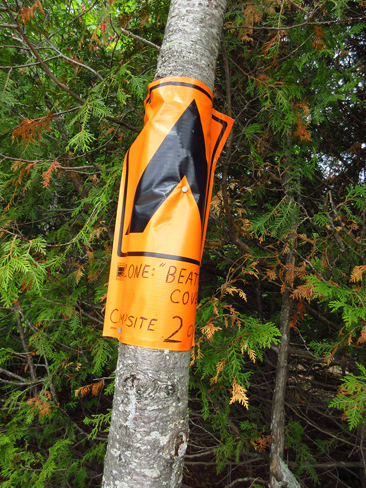
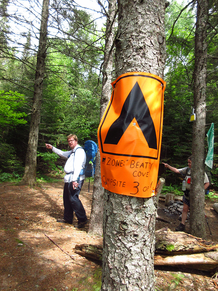
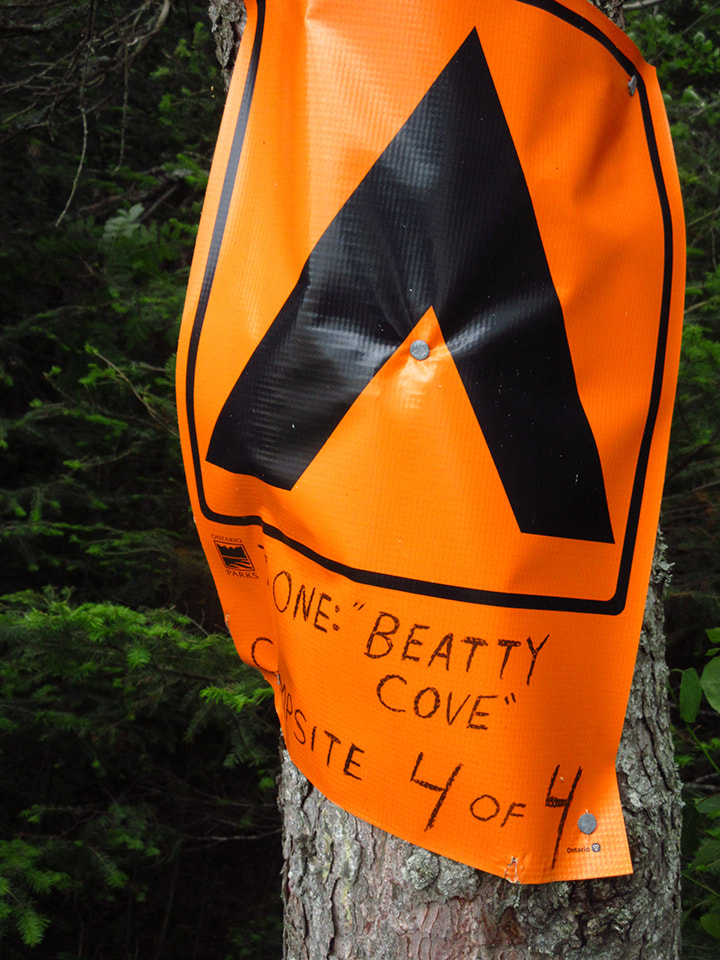
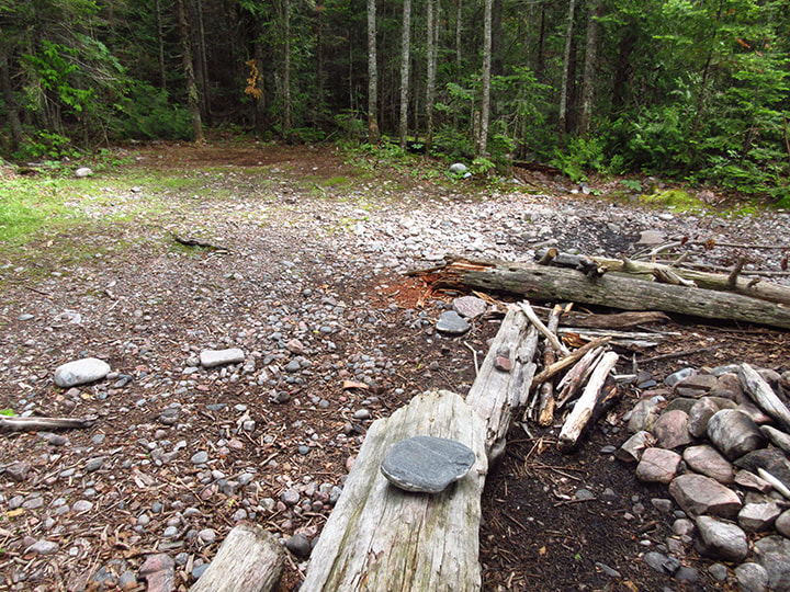
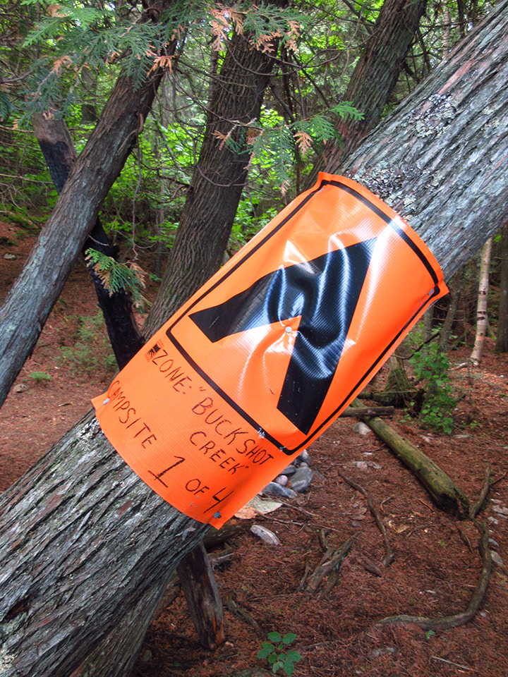
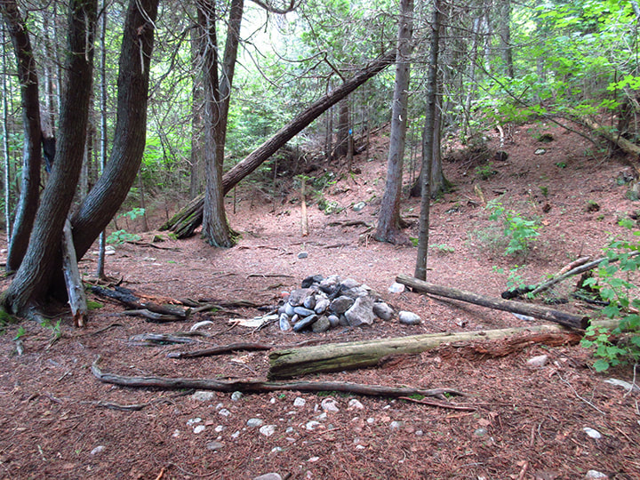
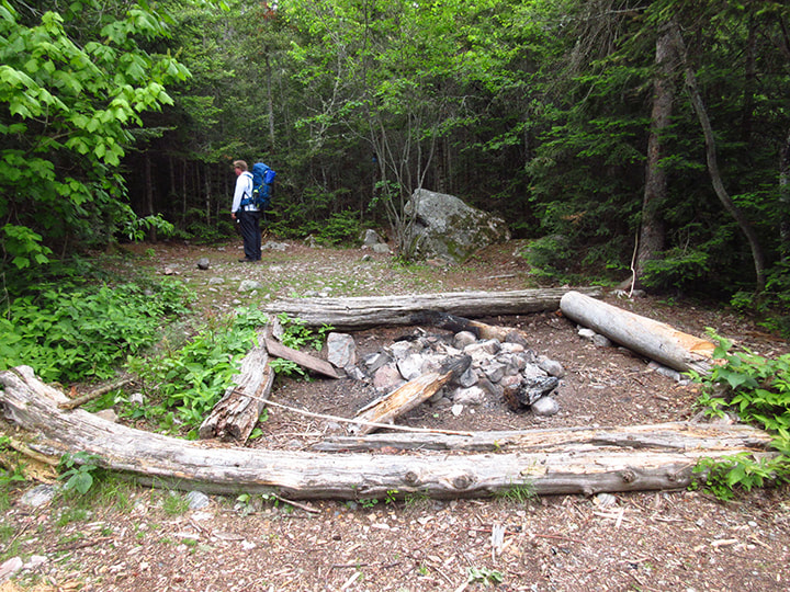
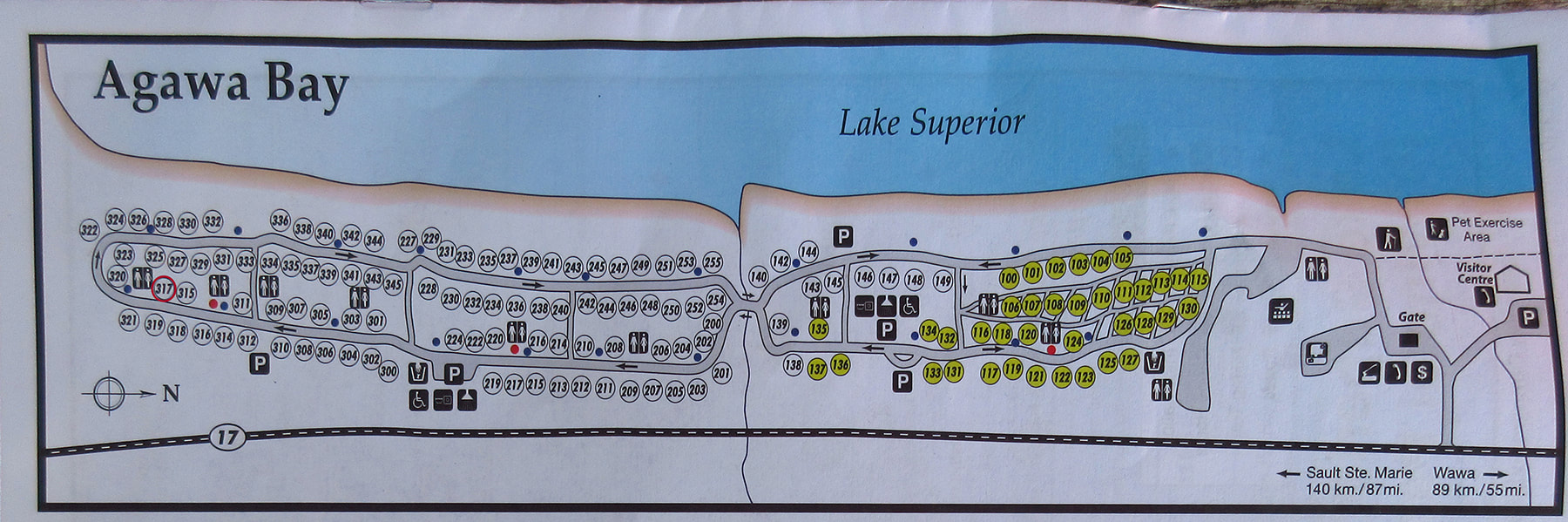
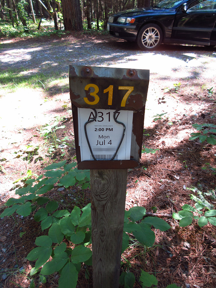
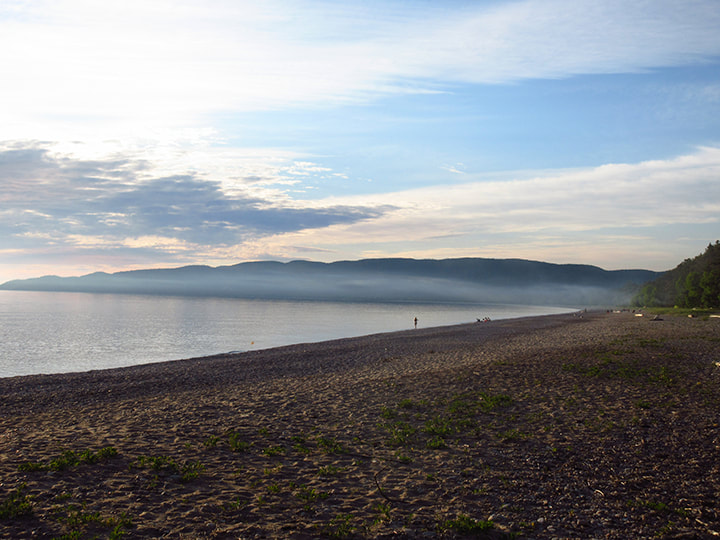
This time we got site 148 which was one of the good sites!  We were really looking forward to spending time on this site. 
Picture
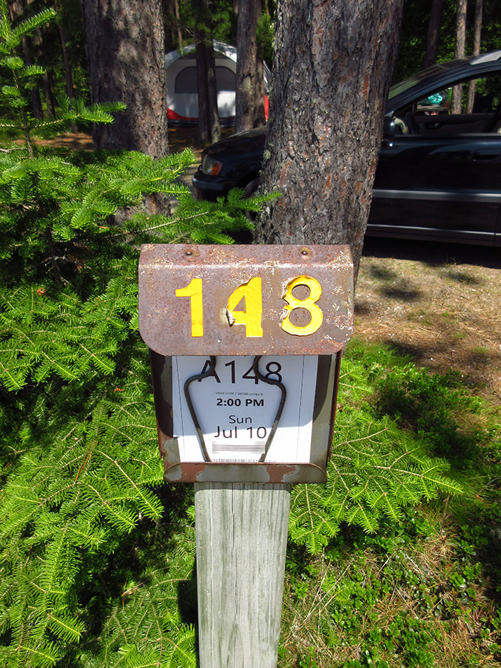
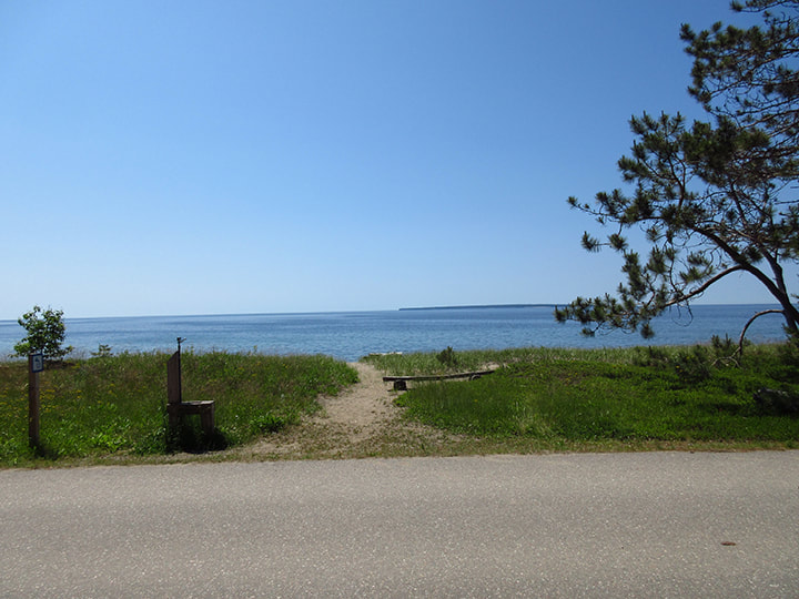
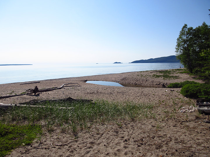
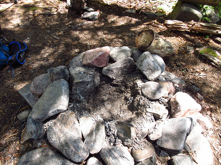
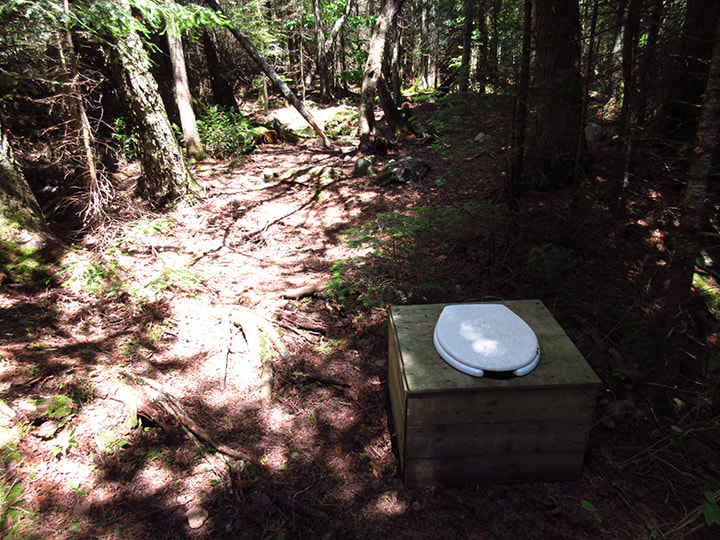
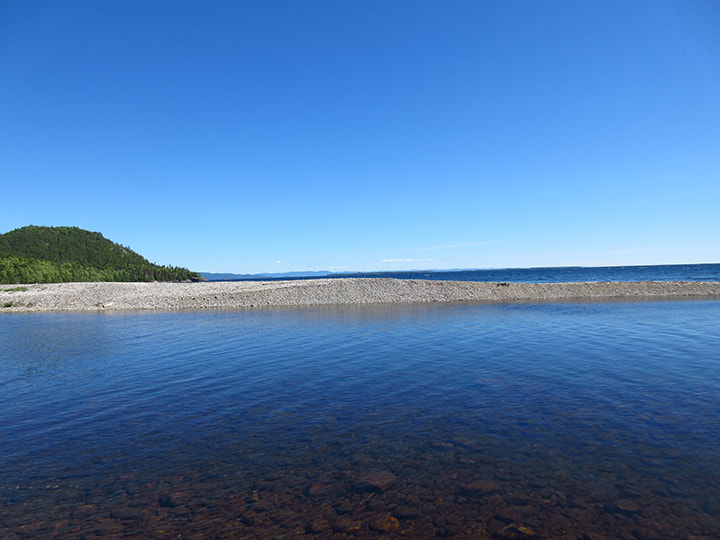
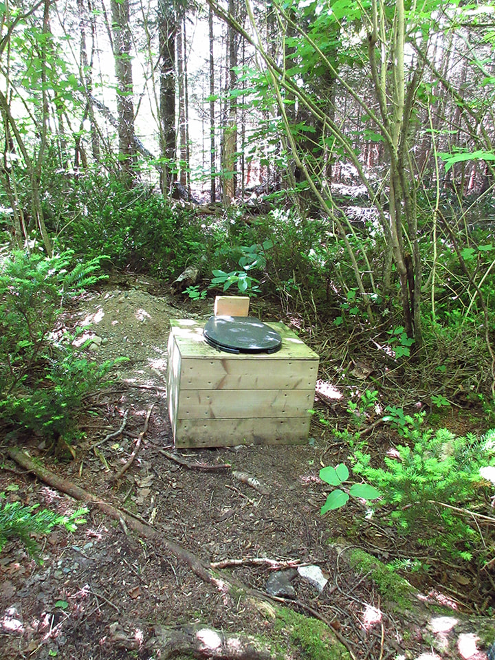
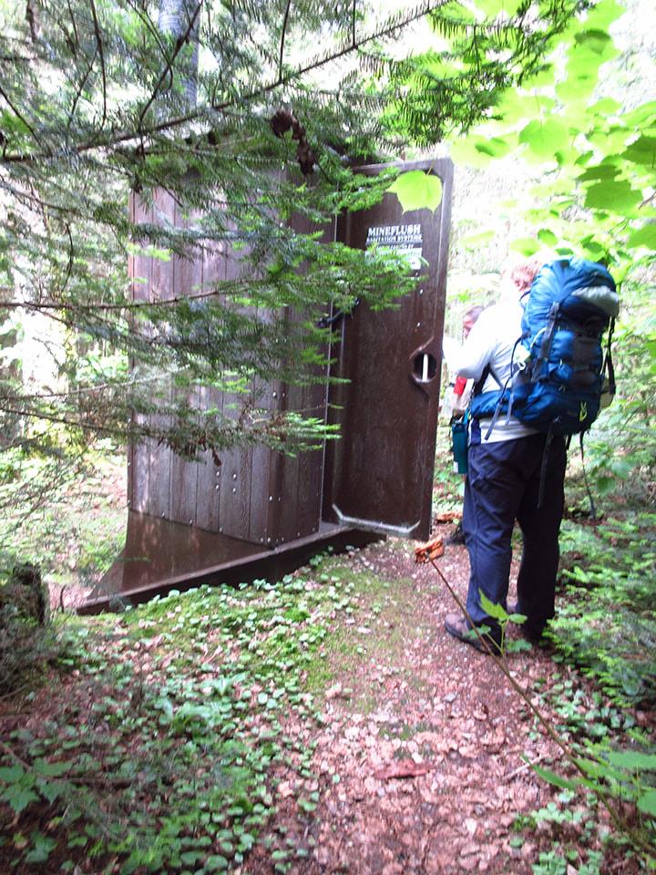
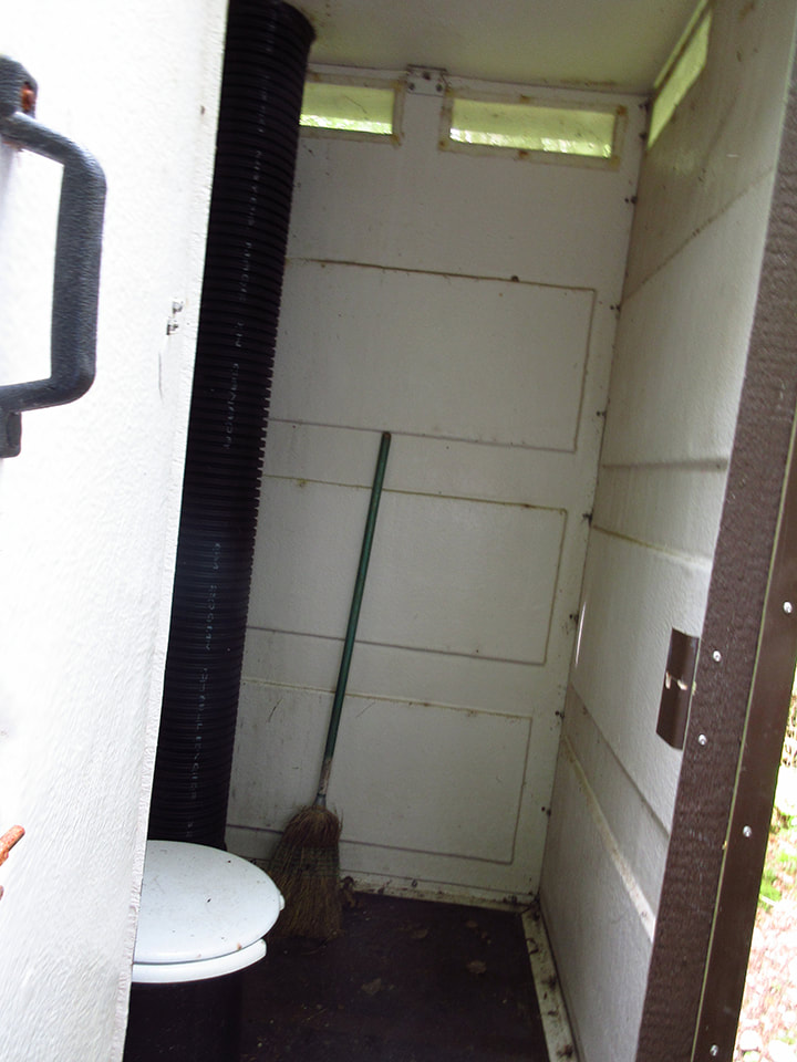
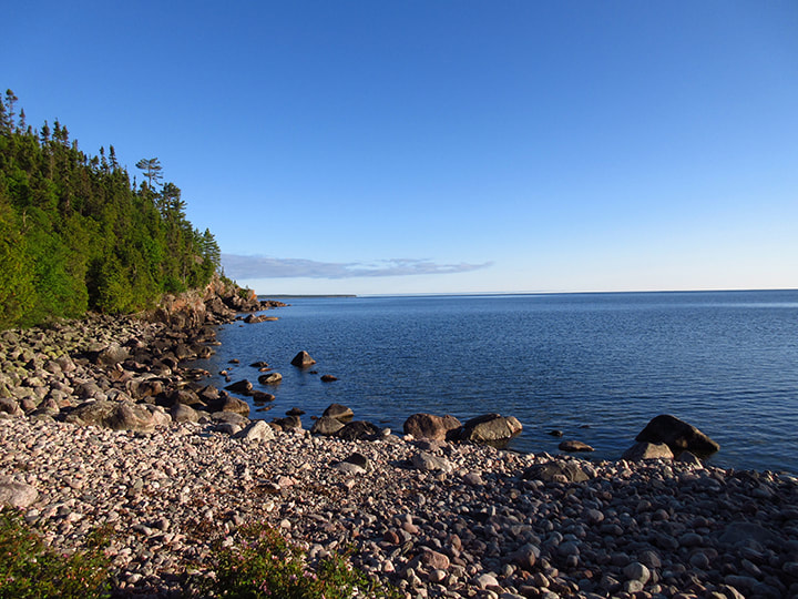
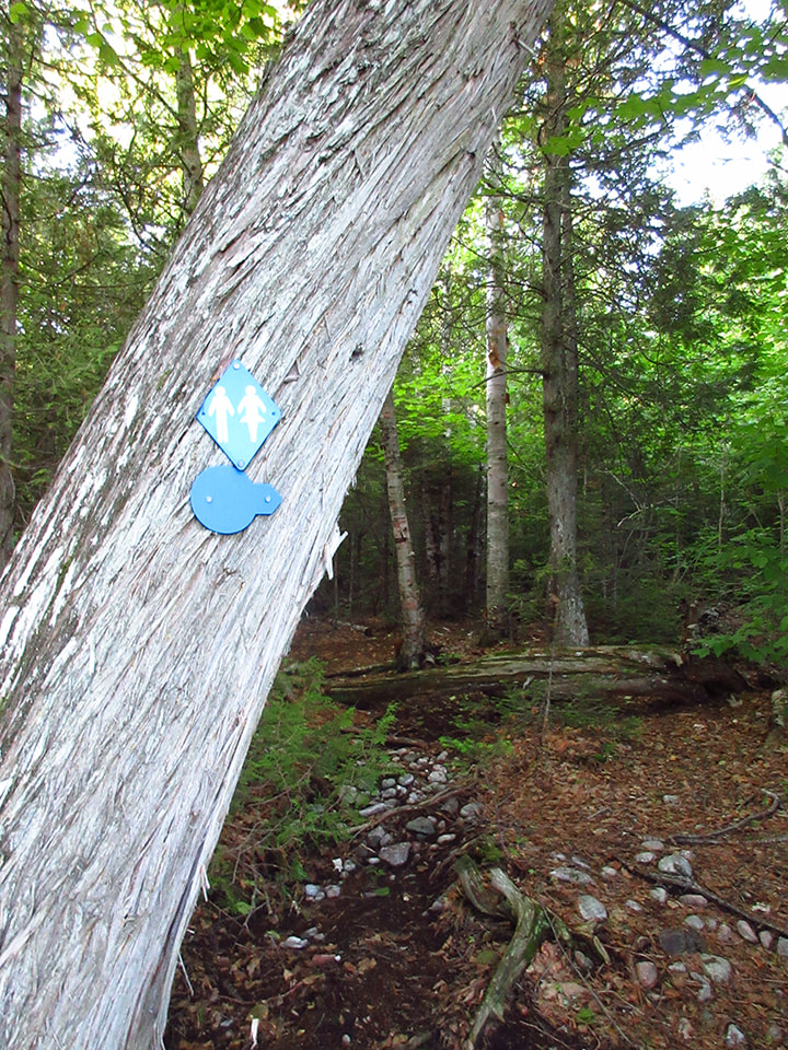
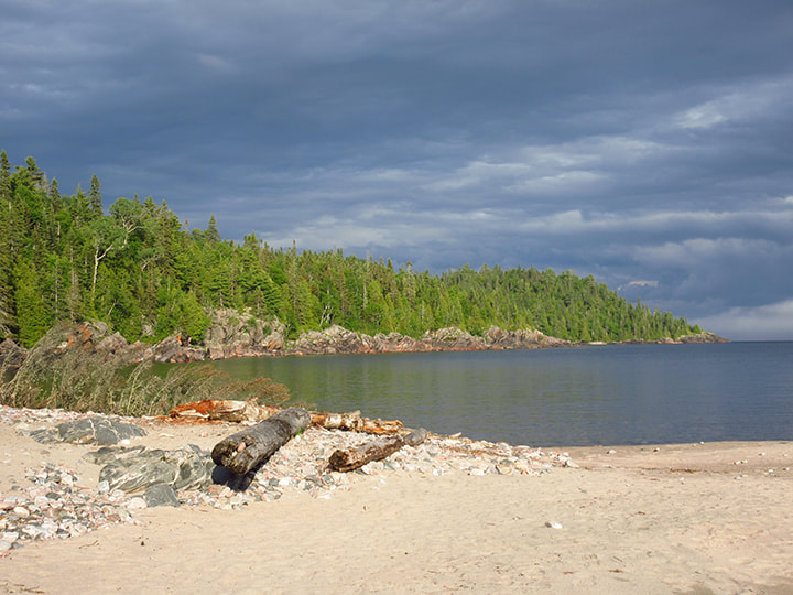
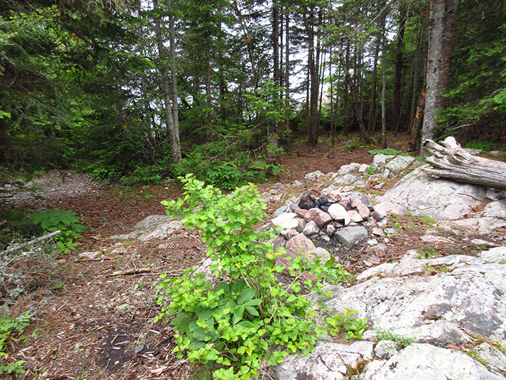
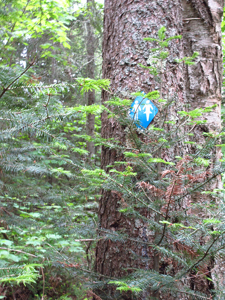
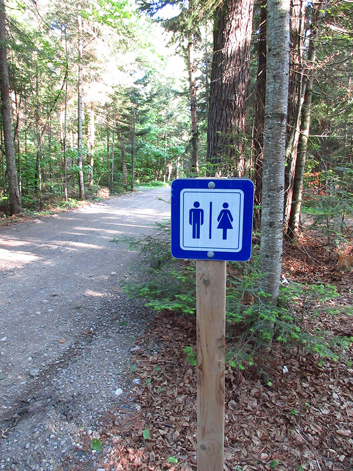
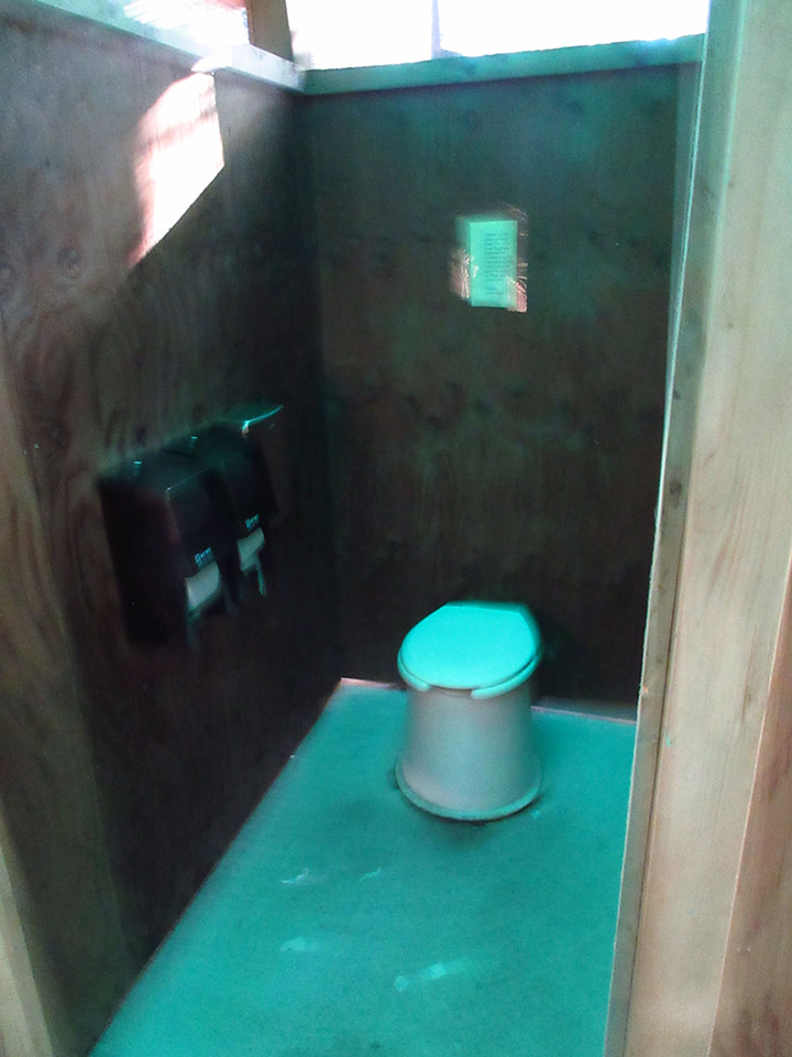
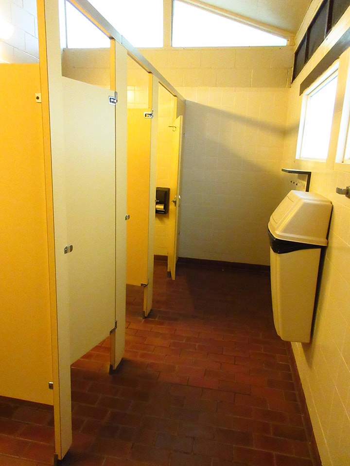
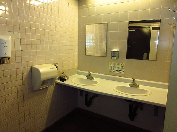
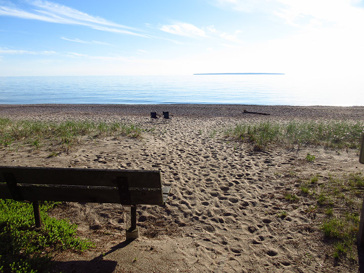
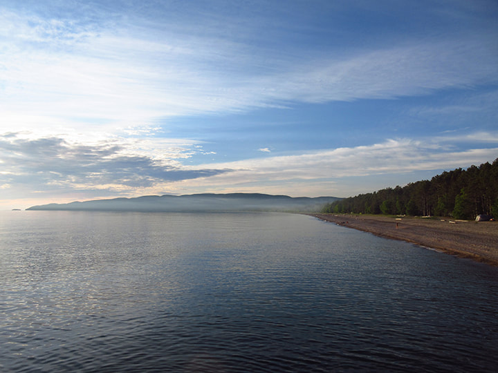
This site was quite large. It was right across the road from the beach. It had plenty of sunshine and was very close to the showers (which we were in desperate need of at this point) and the comfort station, as well as the park store.  
Picture
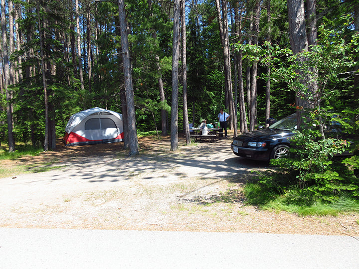
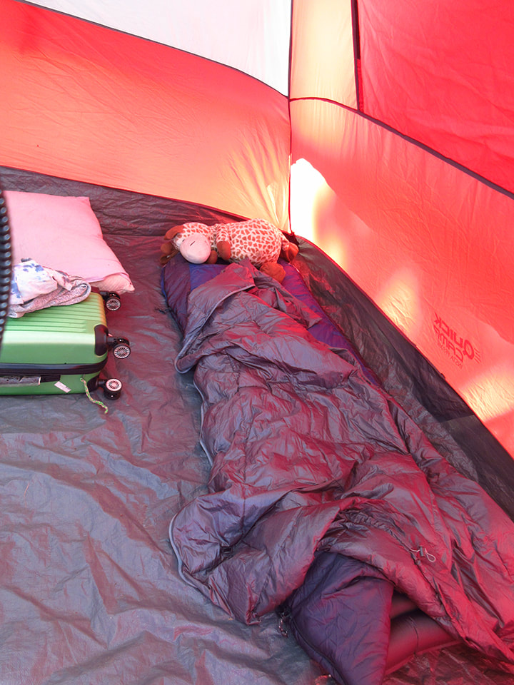
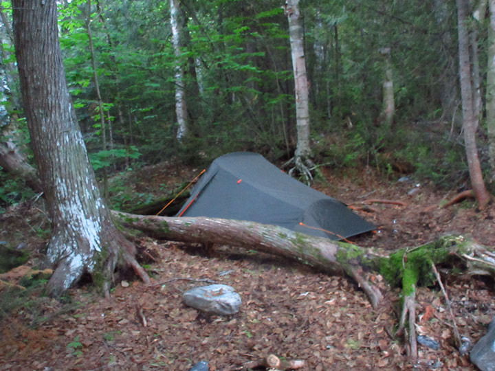
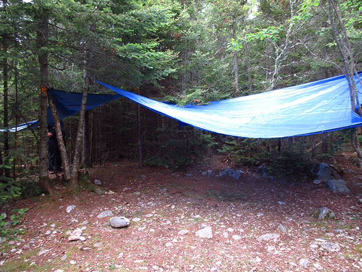
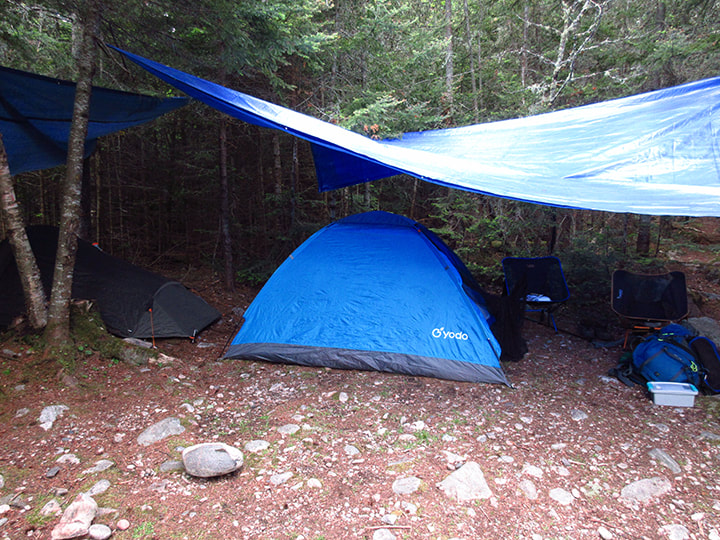
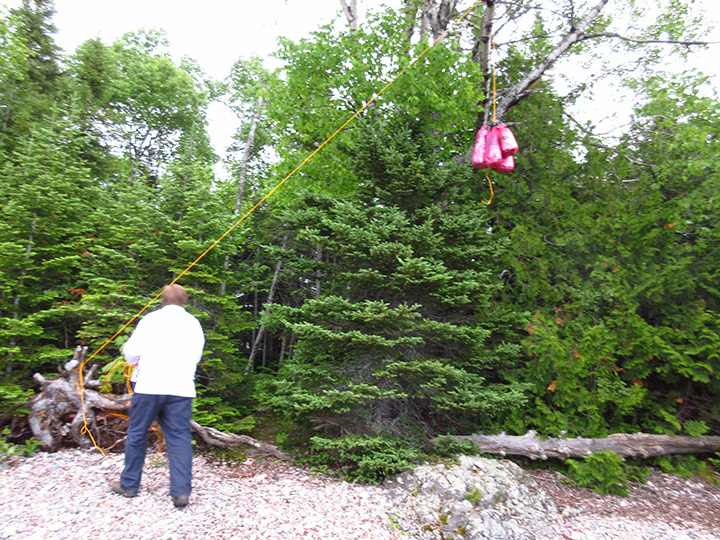
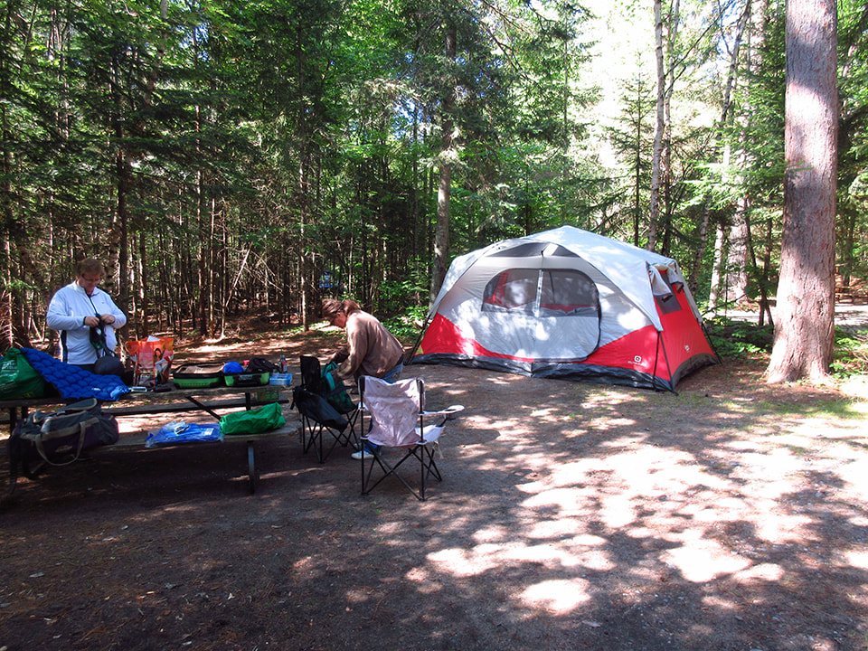
We set up the tent and then started to relax. We became thankful for all of the little things that many people take for granted. I was happy to see Jerome, my stuffed giraffe that I use as a pillow.  I hadn't had a pillow to sleep on in days!  We were happy for a tent that we could actually stand up in. 
Picture
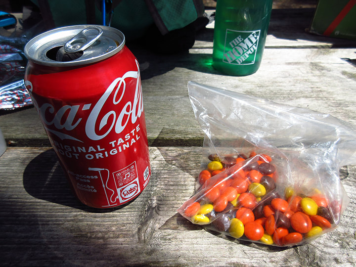
We were happy for a cold drink of pop and some ice cream that we had bought at the park store when we registered. 
Picture
Picture
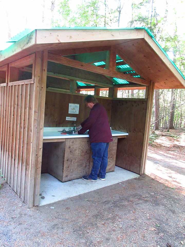
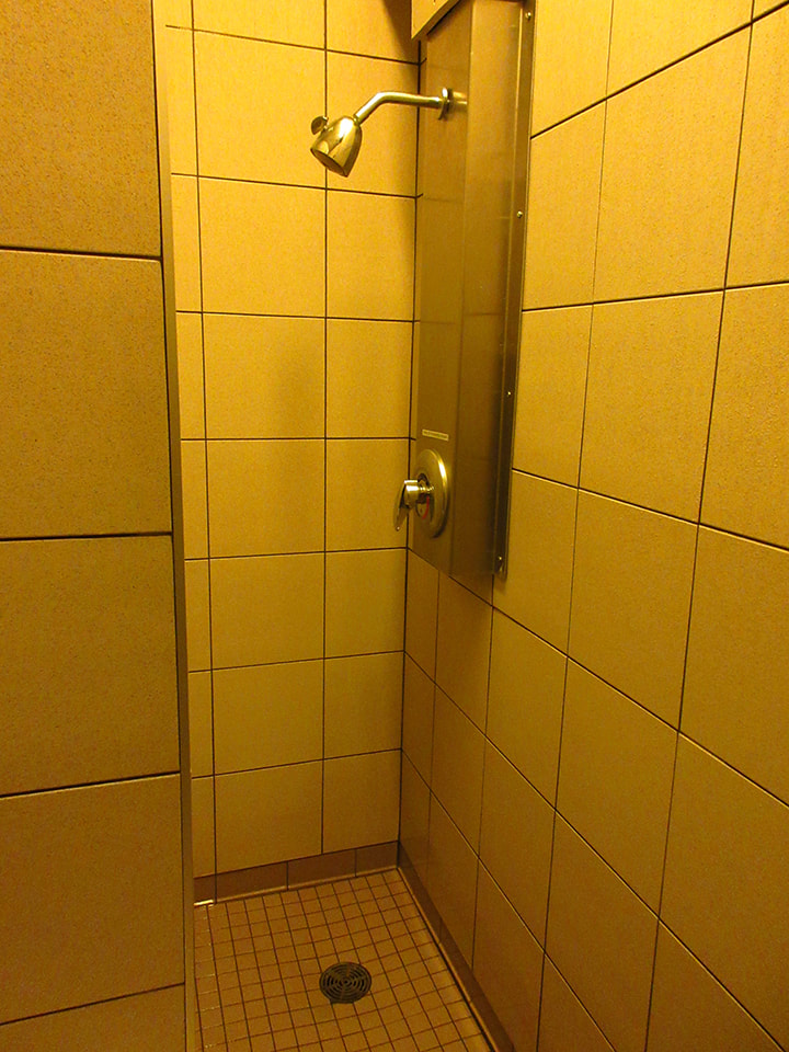
But mostly we were thankful for a shower! 

And unlike some parks, these showers were clean. Plus there was hot water and you were able to control the temperature and the pressure. 

​It was heavenly! 
Picture
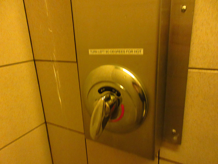
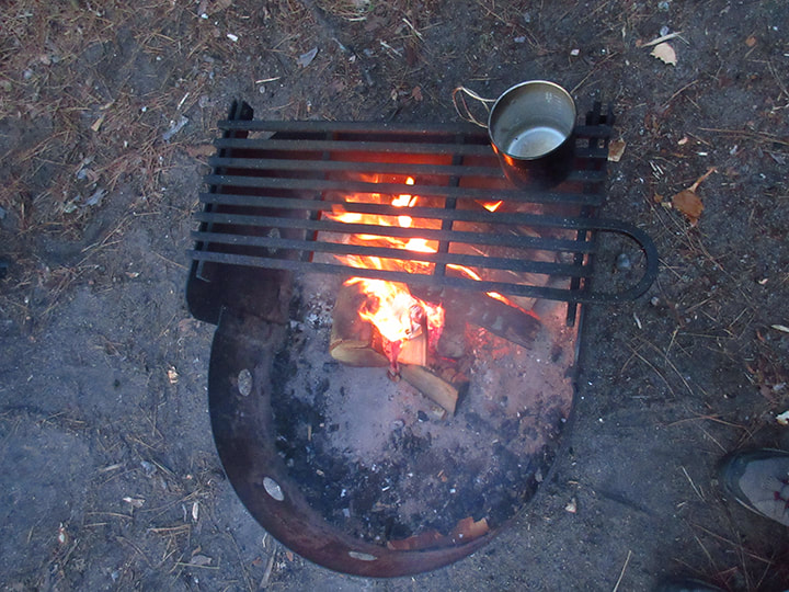
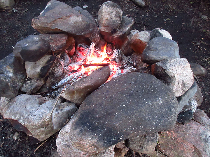
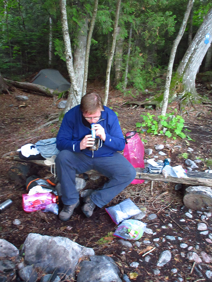
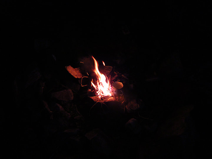
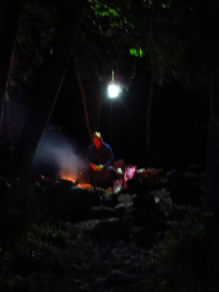
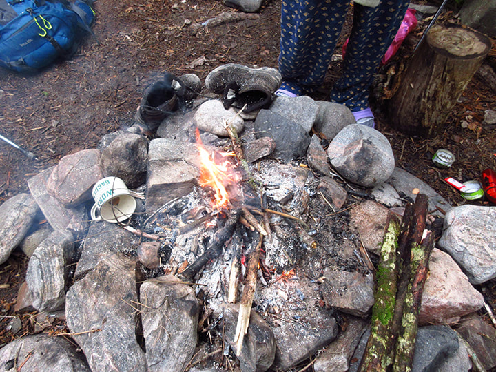
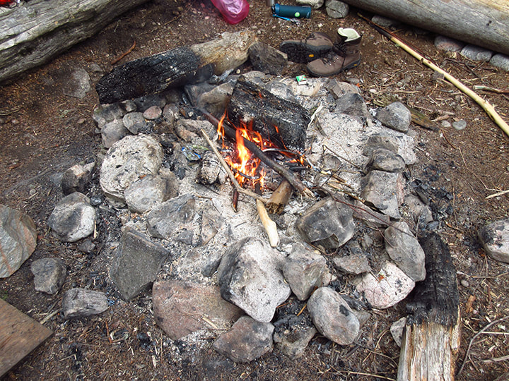
We brought out the chairs and Heather made a fire and got a pot of coffee going. 
Picture
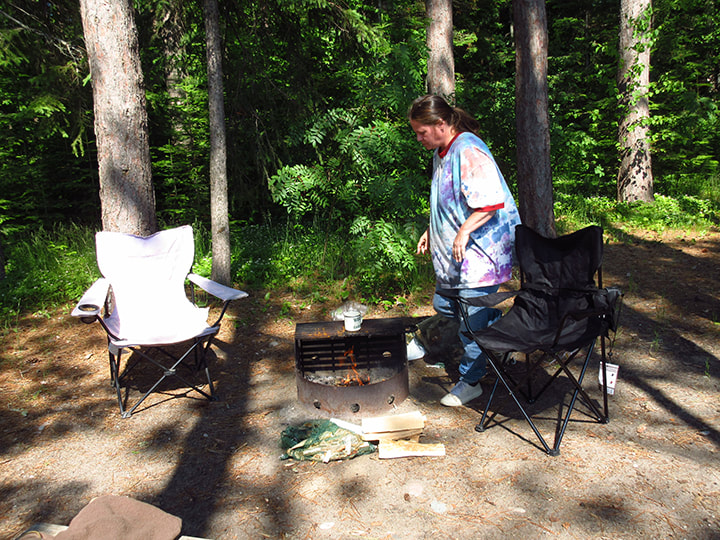
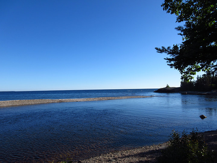
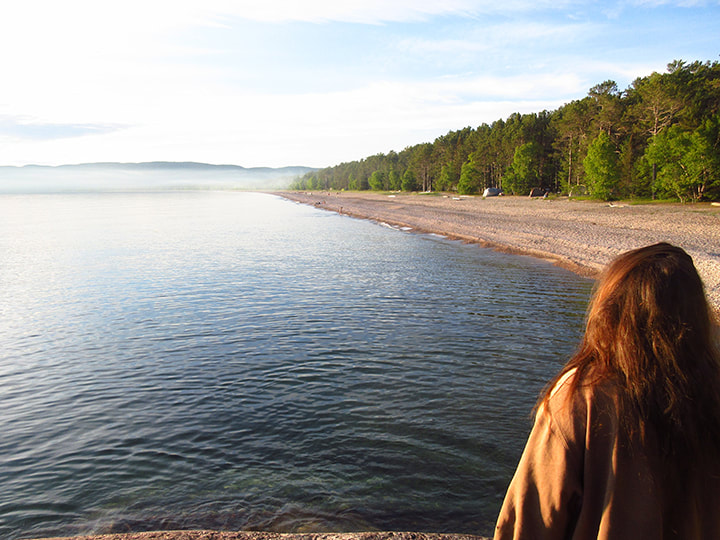
Then we just sat. Even just sitting and doing nothing was a luxury we were grateful for. We sat and enjoyed the view of  the lake from our campsite. 
Picture
As we were just sitting, along came a visitor. It was Kelly!  She called out to us "Are you tired of me yet?"  We laughed and said "Not at all!"   She said that she was just about to continue on the trail when it dawned on her that if she did that she probably wouldn't reach her next site until late in the evening and she would have missed all this gorgeous sunshine and relaxing all day. So she decided to just stay here in the park and get some beach time in. We told her that she made the right decision. And so, we sat around talking for a long time.

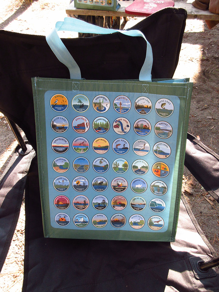
​She had with her a bag that had the crests of all the different Ontario Provincial Parks on it. We went through each and every one saying "Have you been there?  How about that one? Have you been to that one?"  And when we came to one that we had been to we would share the stories or our opinions on that particular park. 
I asked her where she got the bag from and she said that when she bought something at the park store they gave it to her for free. I decided that I was going to go buy something at the park store later on to see if I could get one too. 
Picture
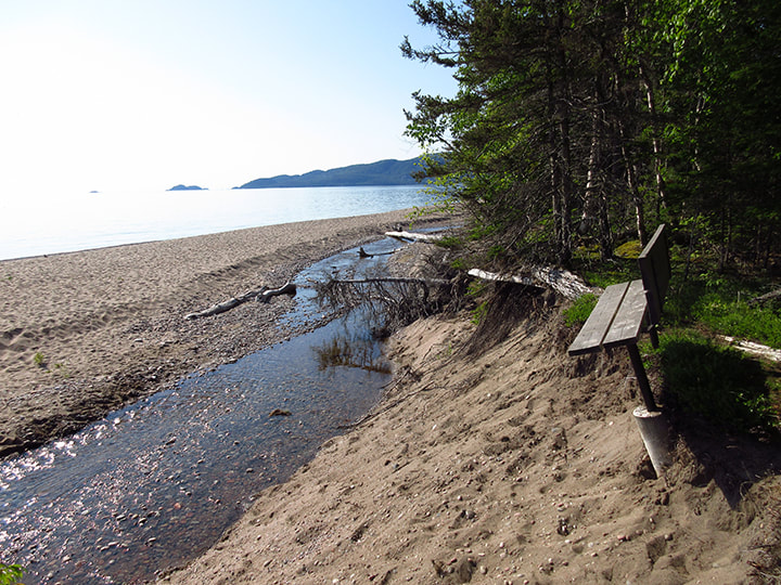
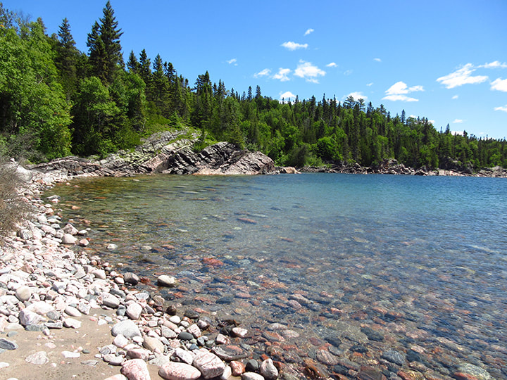
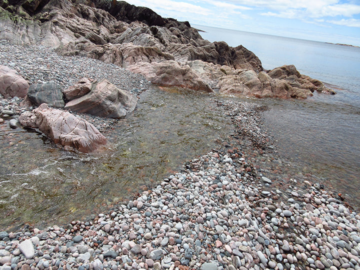
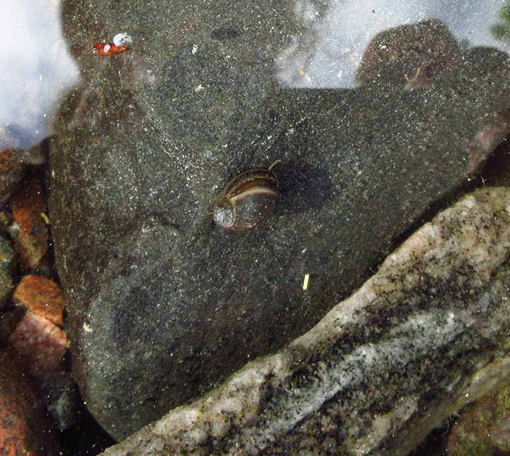
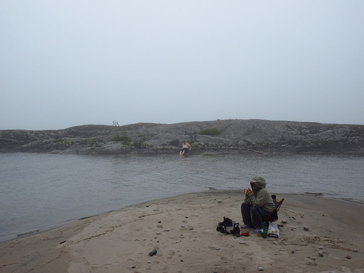
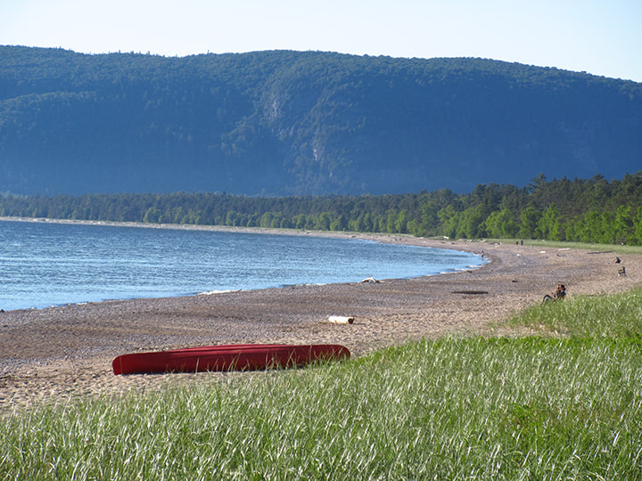
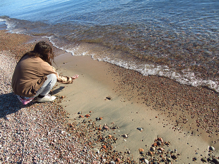
But first we took a walk down to the beach and sat on the shore and began picking through the rocks to find all the best ones.  This was something me and my siblings used to do as kids when we went to visit our grandmother and I loved it. This was something Kelly also liked to do too. 
Picture
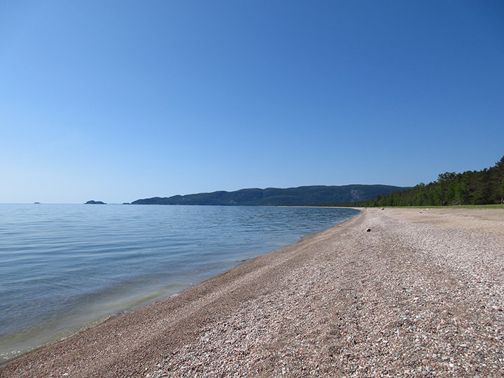
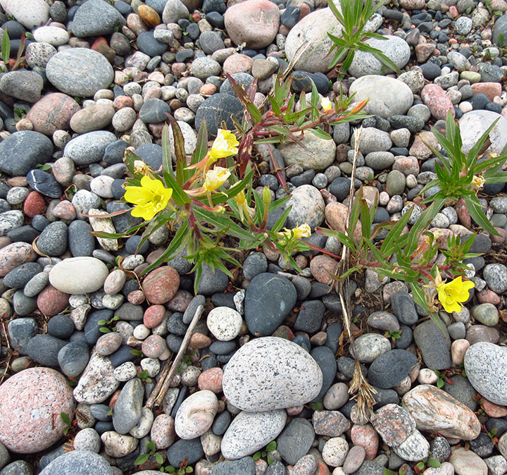
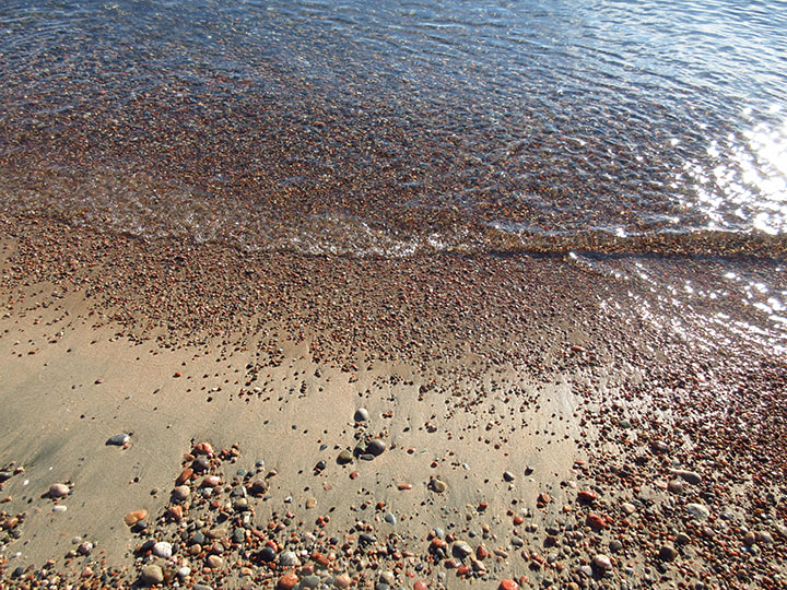
The stones here are very colourful and quite interesting to look at if you are into that sort of thing. It wasn't long before we had a handful of our favourites. Kelly told me about how there were some places on Lake Superior where you  could find rocks that  glowed in the dark. She also told me about Lake Superior Agates. 
Picture
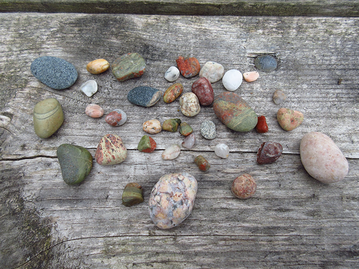
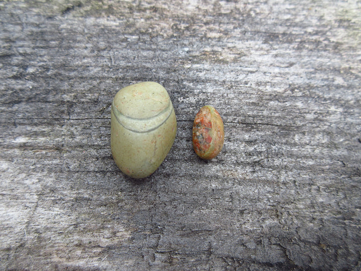
Heather found a rock that looked like a bean with a giant smile. I was almost tempted to draw two eyes on it and make it into a cartoon character.  I found a smaller rock that looked like an actual bean. 
Picture
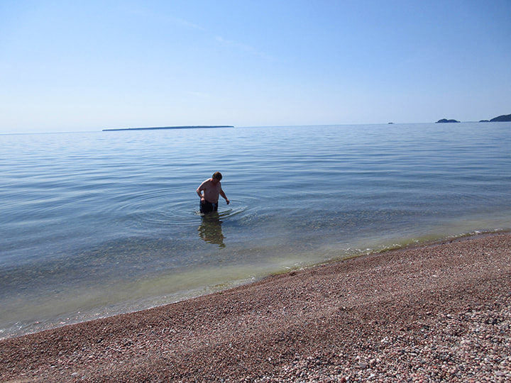
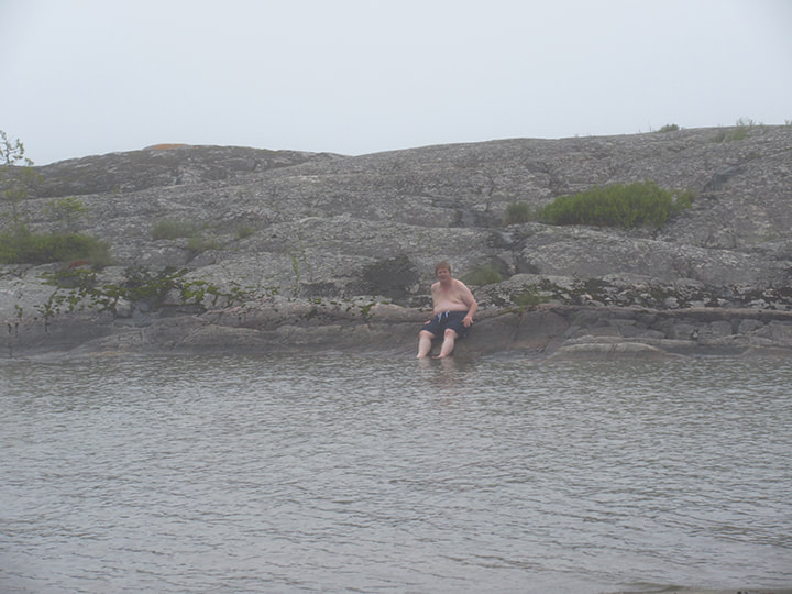
Once again Carsten decided to brave the cold waters of Lake Superior and go in for a swim.  It was too cold to stay in long though. 

Kelly told us about a hidden gem not too far from here called "Bathtub Island" She said that there is a rock formation that is in the shape of a bathtub and the water from Lake Superior washes up over the edges and fills it up like a bathtub. The water gets warmed up by the sun and people go there to swim and to picnic. You can get to it by going down the Katherine Trail. We didn't have time to go there on this trip, but if I have the opportunity to come back, I will definitely check that out. 
Picture
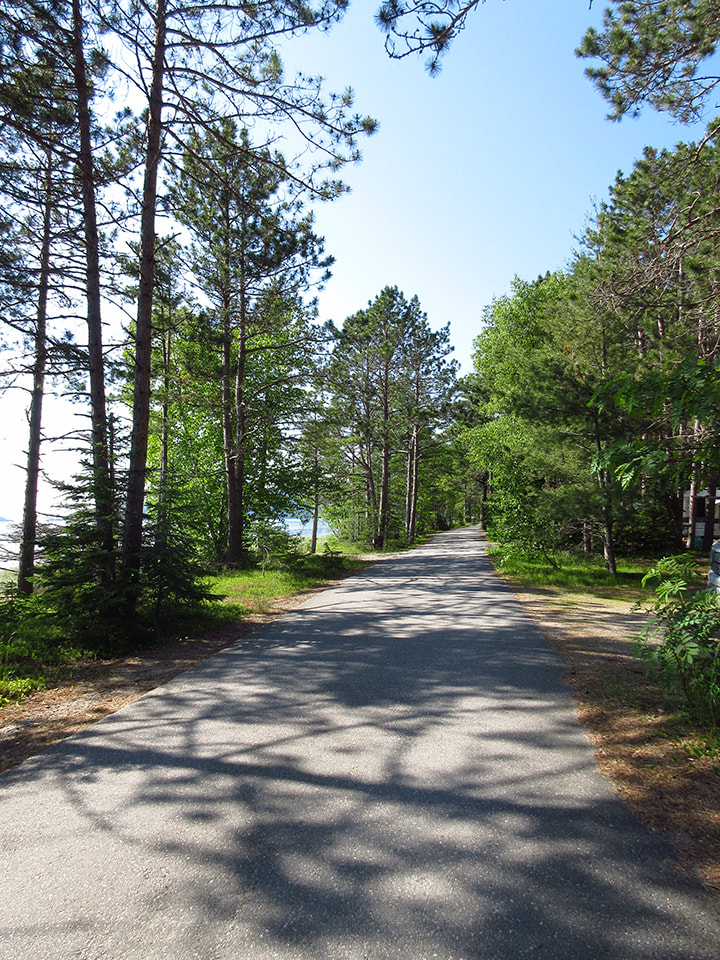
Later in the afternoon Kelly went to take a shower and I decided to take the opportunity to go see other parts of the park and to walk to the park store to see about getting my other sister (Anika) a birthday present and maybe snagging one of those park crest bags.   The road was paved so it was an easy walk on a beautiful afternoon. 
Picture
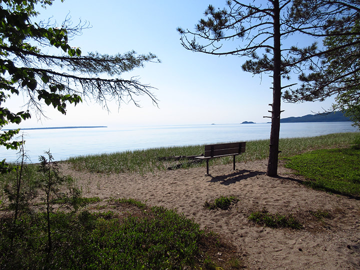
Along the way I passed other sites that also had a beautiful beach view. 
Picture
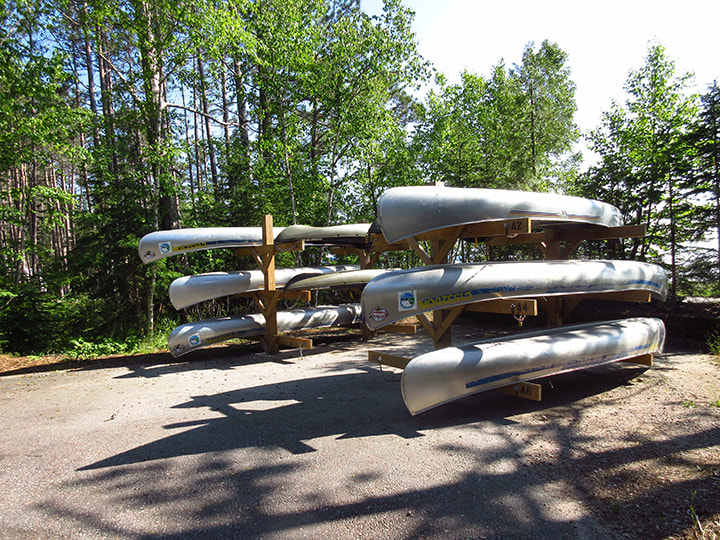
There was a place where you could rent a canoe if you were so inclined. 
Picture
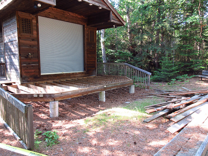
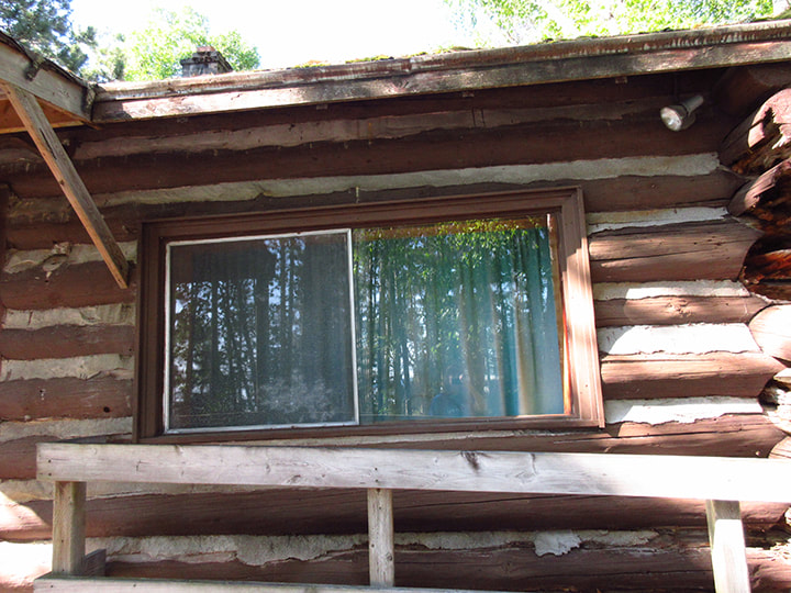
I came to the amphitheater but it was closed to public use because they were fixing the balcony on it. It was in a bit of a state of disarray at the moment. 
Picture
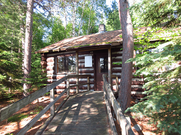
Close to the amphitheater were 2 log cabins.  I peeked in the window of the first one and it seemed to be used as storage space. 
Picture
Picture
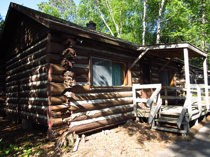
I couldn't peek in the window of the second one because the curtains were drawn. But I assume it was probably also storage space. 
Picture
Picture
Along the way to the park store was the pet beach. 
Picture
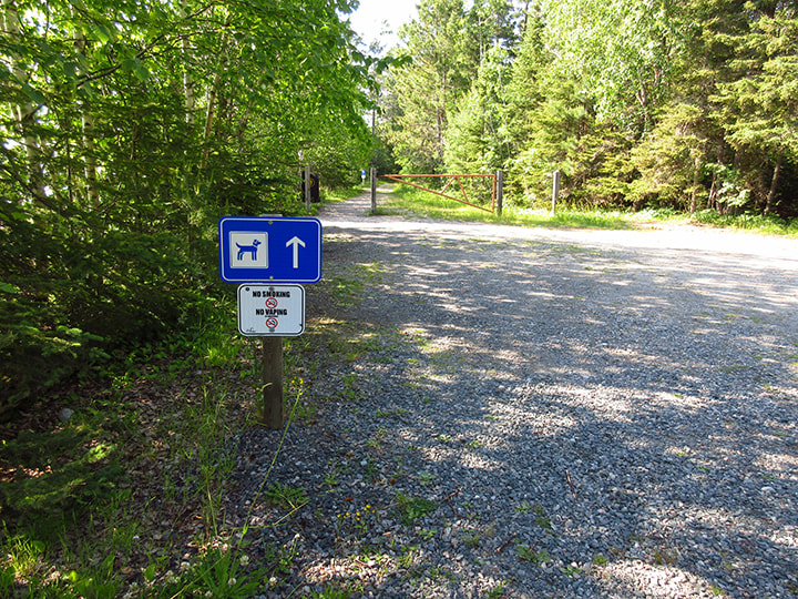
It looked like a fun place for dogs to play in the water. The bench for the humans could have used a bit of TLC though. 
Picture
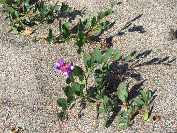
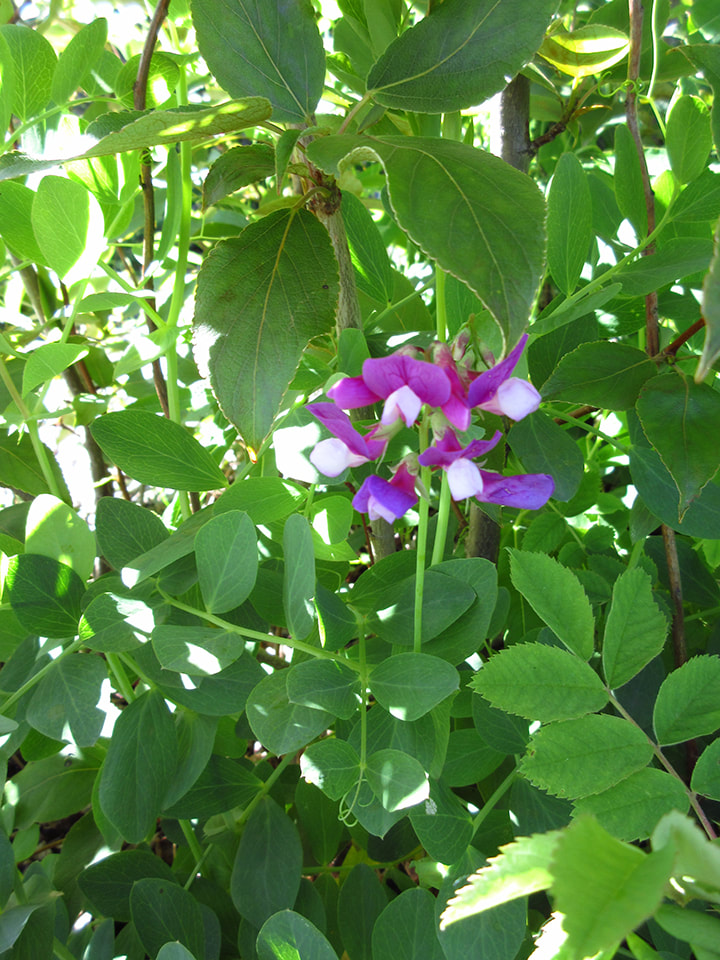
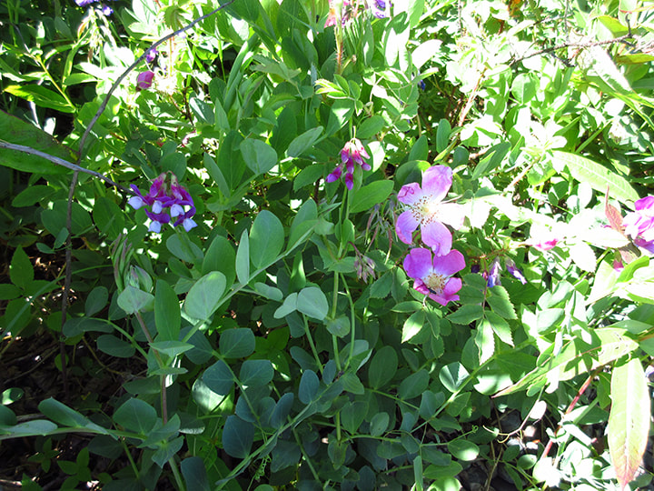
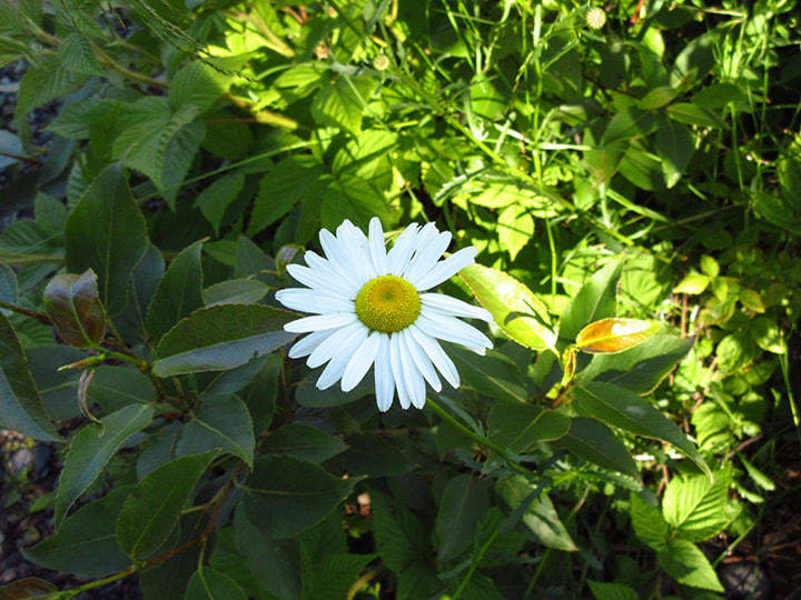
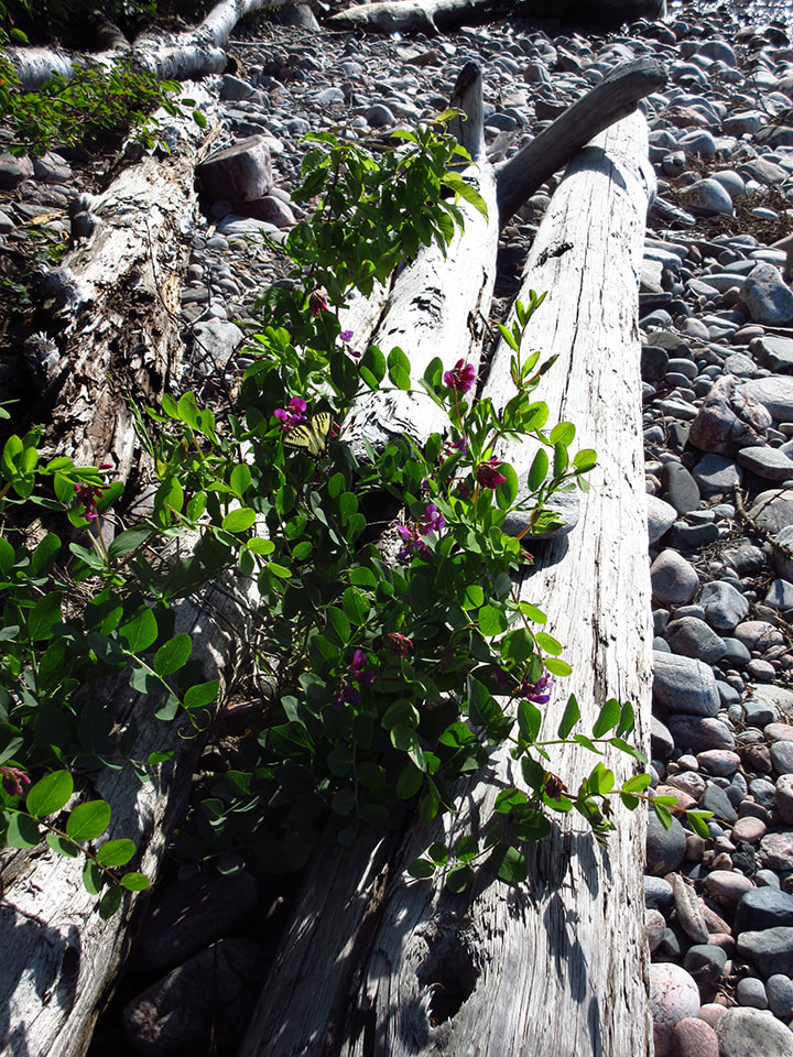
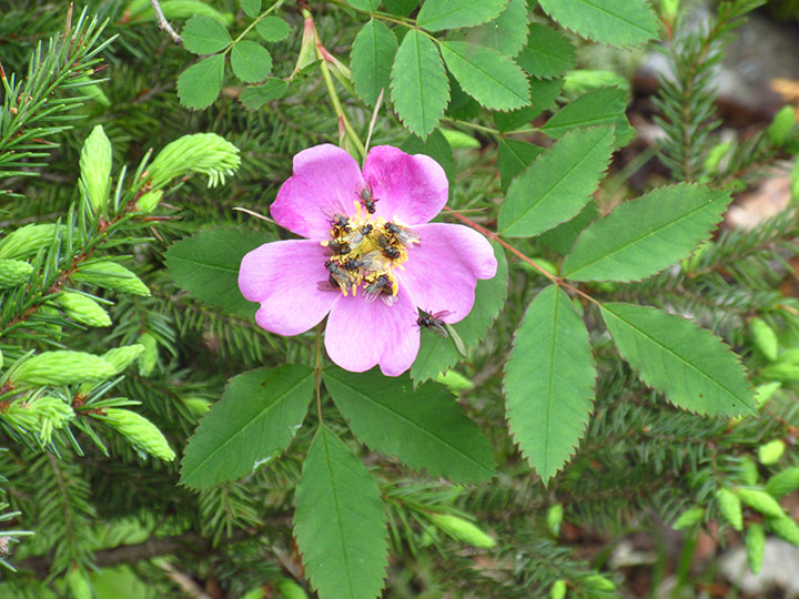
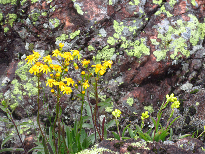
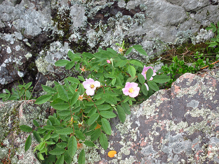
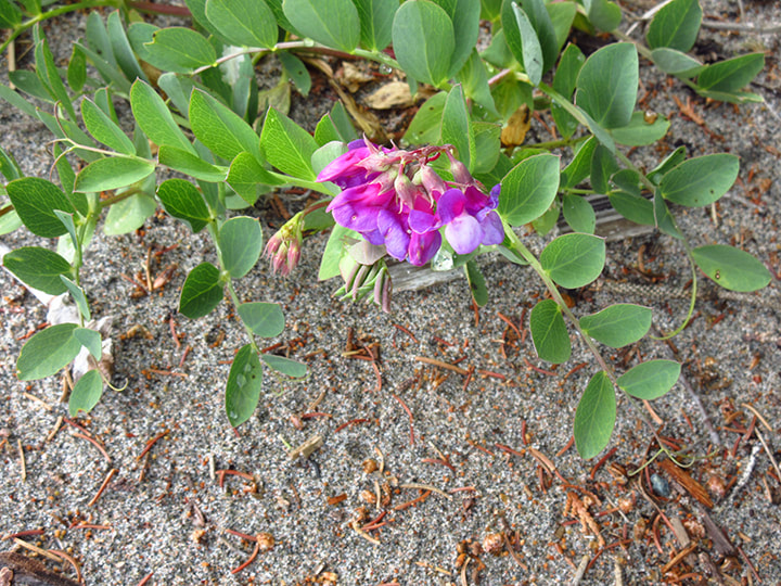
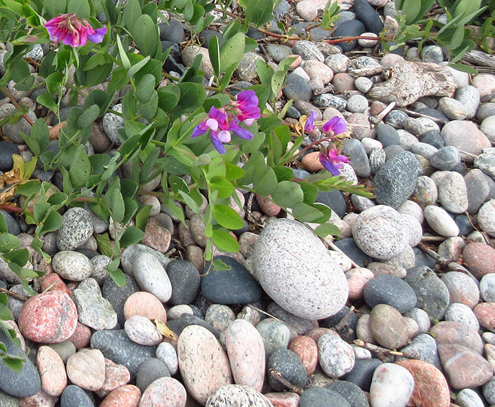
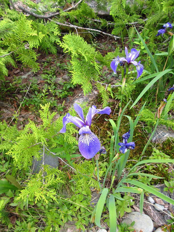
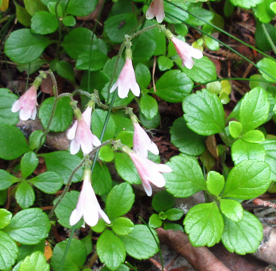
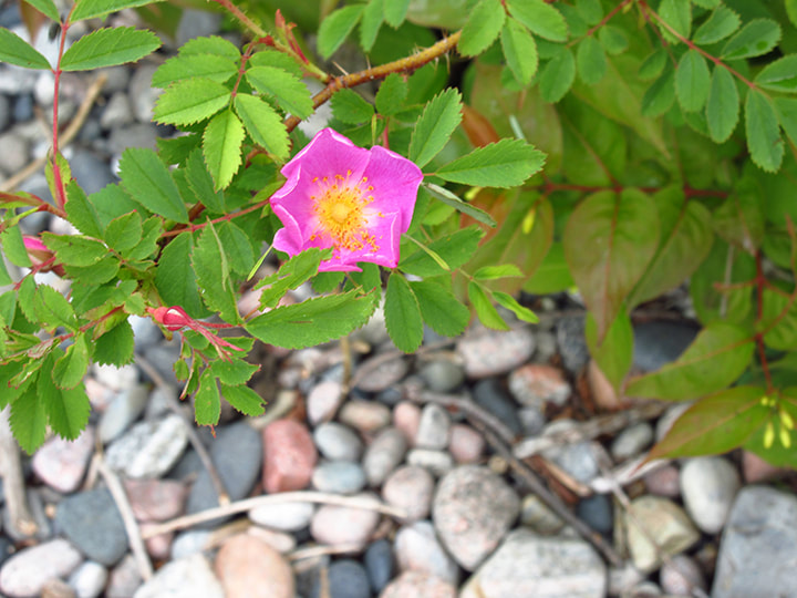
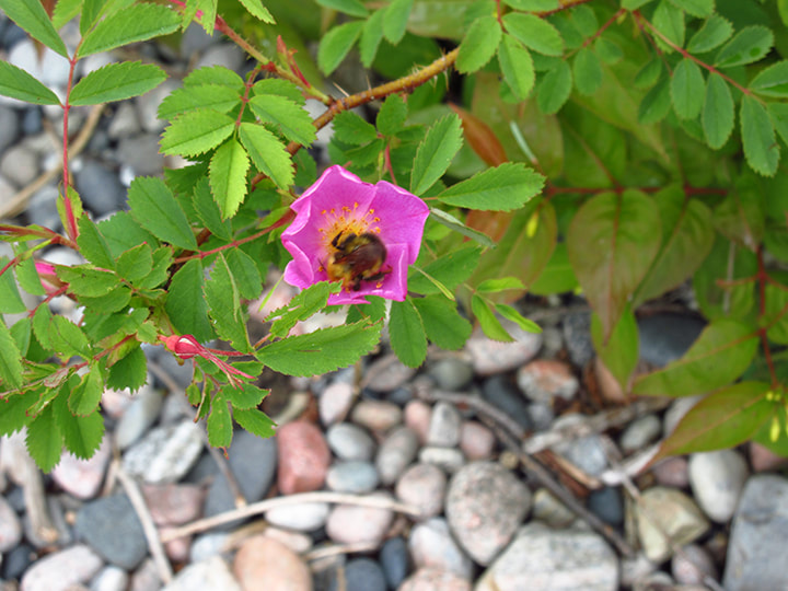
There were some pretty Seaside Peas growing near by. These flowers seem to be pretty common throughout the park. 
Picture
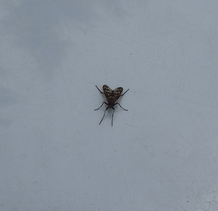
As I was checking out the rest of the area I started to get swarmed by blackflies. I was surprised by this because blackfly season should have been over by now. I don't know if this was common for this area or if this was just a weird year for them.  They hadn't bothered me on the road but once I had left the road and roamed the dog beach it became a free for all.  They were getting in under my hat  and stuck in my hair.  ​ ​The blackflies were worse than the mosquitoes had been.
Picture
I hurried over to the park store which was not too far away. I went into the bathroom, took my hat off and looked in the mirror. It was the only way I could see the blackflies and get rid of them. 

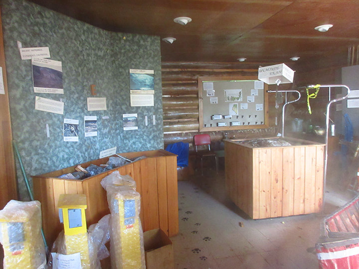
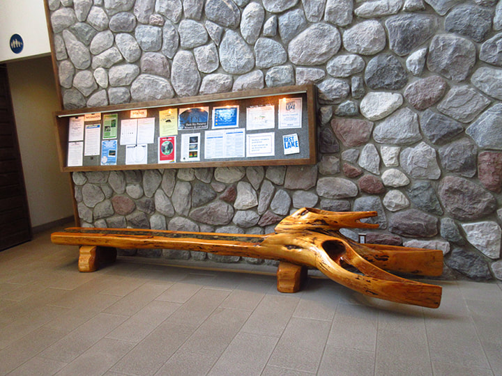
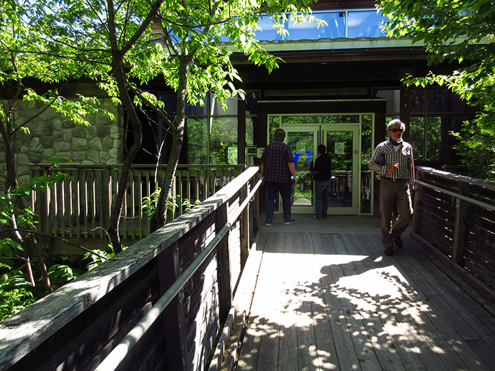
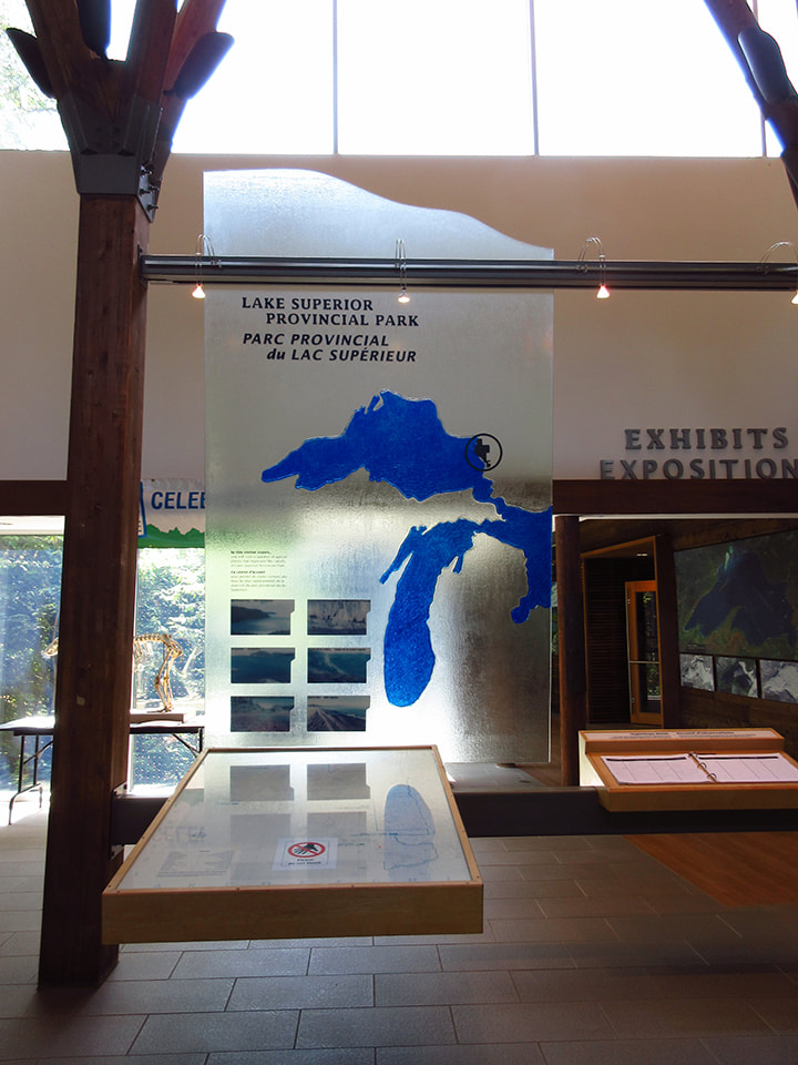
Once I was free of blackflies I stepped back out into the hall.  They had a visitor center here and I figured I may as well take a quick peek at it while I was here.  
Picture
Just outside the door of the exhibit area was a beautiful log bench made out of some drift wood. 
Picture
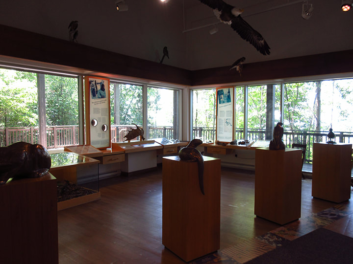
Inside were various displays of different animals and things found in nature. 
Picture
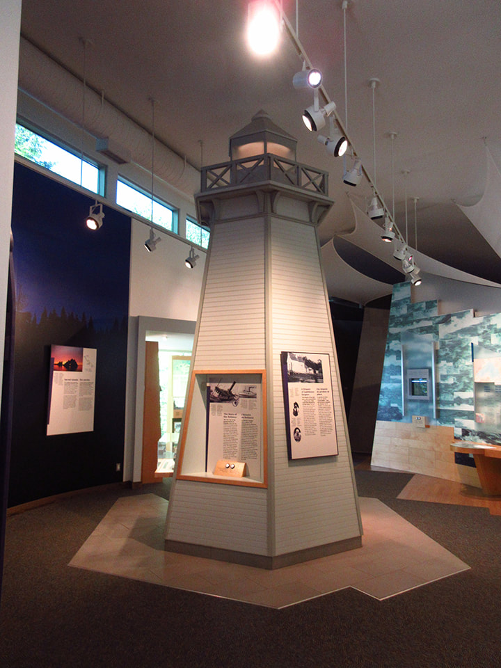
There was also a miniature replica of a lighthouse on display. 
Picture
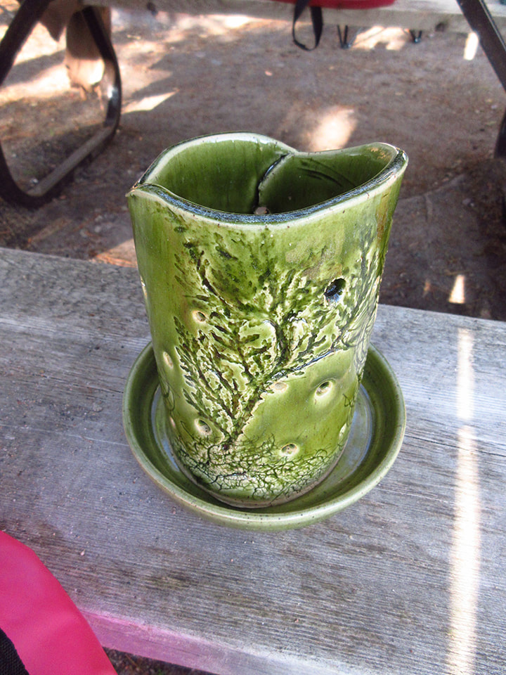
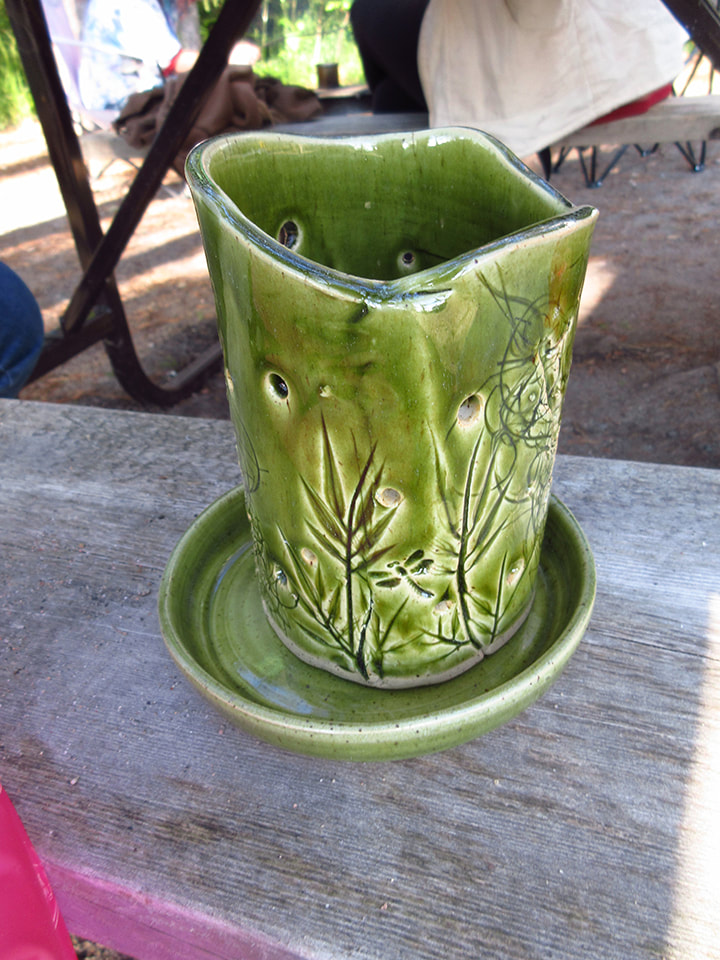
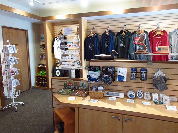
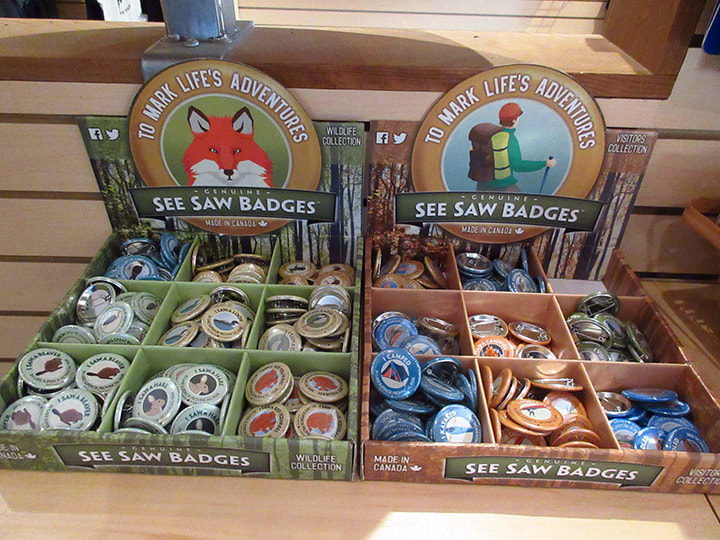
After visiting the exhibits I headed over to the section of the building where the store was.  I was looking for a birthday present for my sister (Anika) and I spotted the perfect gift. It was a piece of handmade pottery. You put a tea light on the inside and the outside was decorated with various plants that had been pressed into the clay before the piece was fired.  It was lovely. 
Picture
Picture
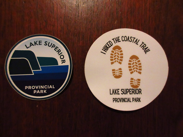
I also picked up the sticker for my Ontario Parks Passport book along with a sticker that said ":I hiked the Coastal Trail, Lake Superior Provincial Park"   I figured it was a sticker I could be proud of after the adventures of the last few days.  

Sure enough, when I got up to the cash register to pay for the items, they gave me a free bag with all the park crests on it.  I was a happy camper. 
Picture
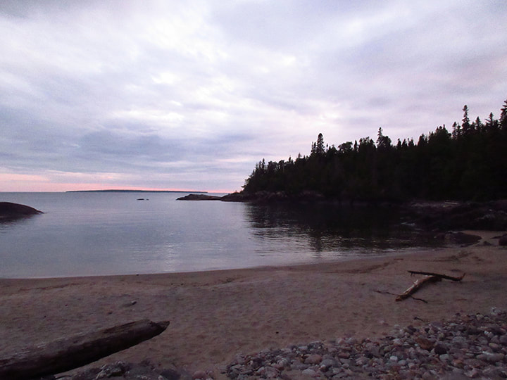
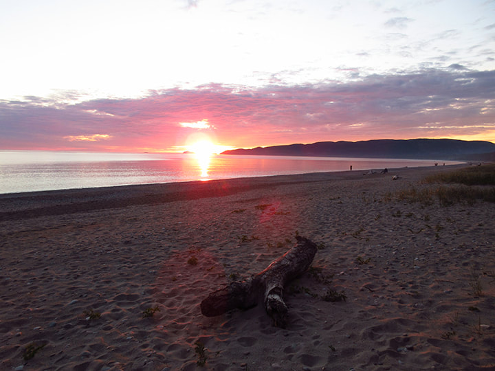
I took my treasures back to camp and we had supper and  hung out with Kelly some more.  Once the sun started to get low on the horizon we headed down to the beach in order to catch the sunset.  The sunlight was bouncing off the blades of grass and shining like diamonds. It almost looked like the grass was wet with dew but it wasn't. 
Picture
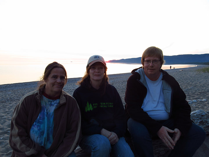
While we waited for the sun to go down we decided to take a few group pictures.  Kelly took one of  Heather, me, and Carsten.  
Picture
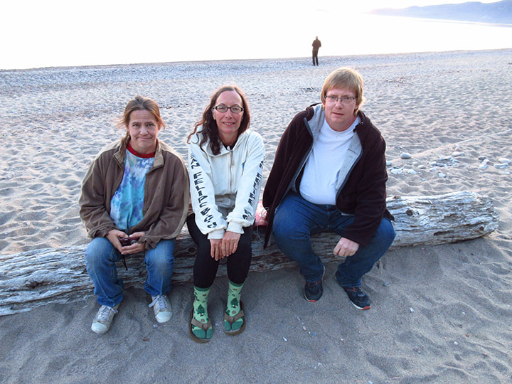
And then I took one of Heather, Kelly, and Carsten. 
Picture
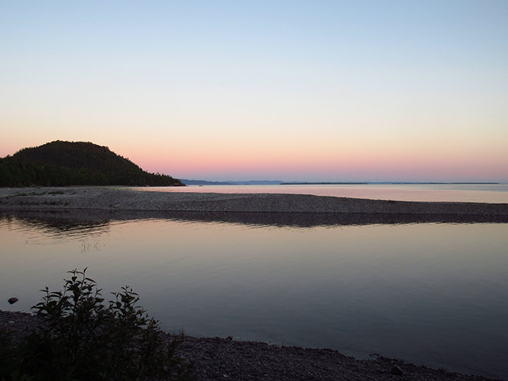
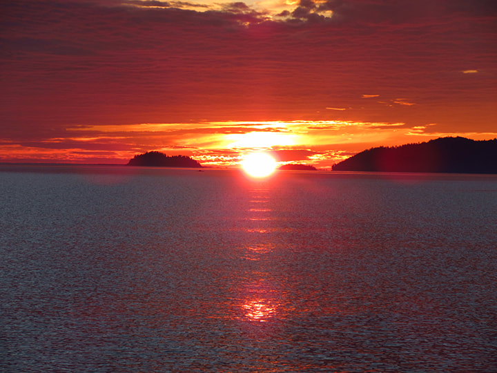
Soon the sun started to go down. People that were out on the lake with canoes and kayaks were starting to come back into shore. 
Picture
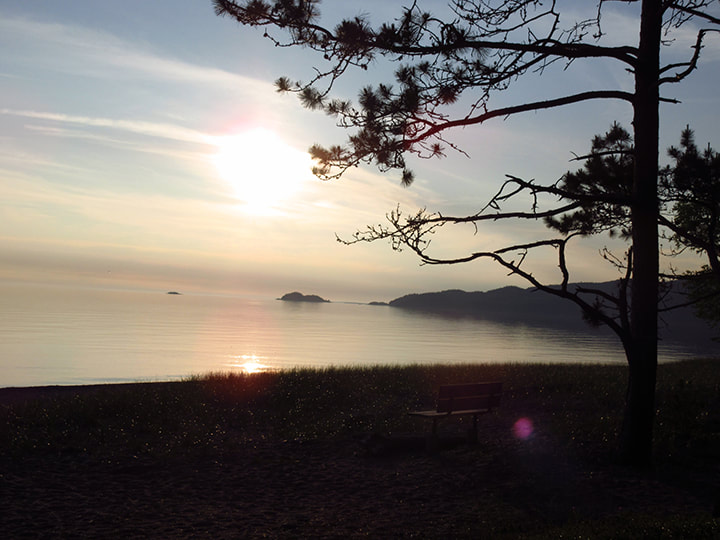
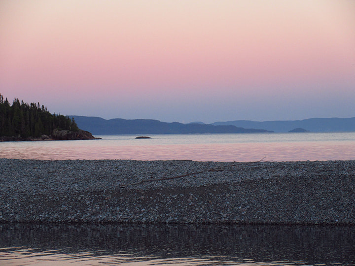
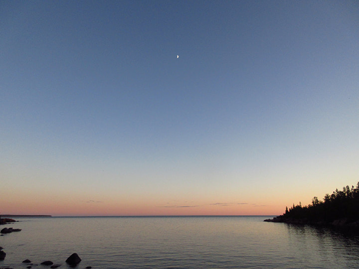
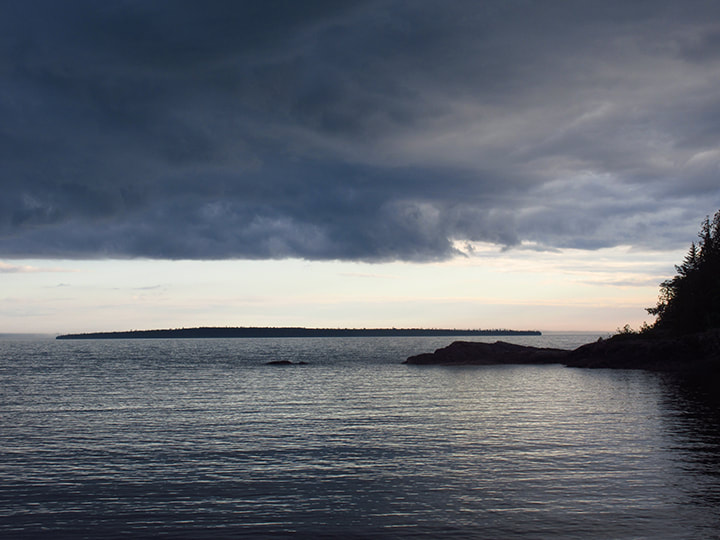
We watched as the sky started to turn to shades of oranges and reds
Picture
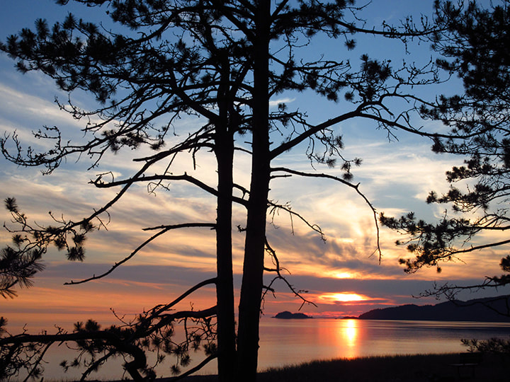
Other campers from other sites also came down to the lake to take pictures of the sunset. 
Picture
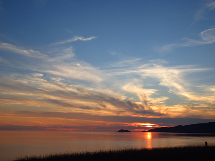
The whole horizon was wrapped in vibrant rosy colours. It was spectacular. 
Picture
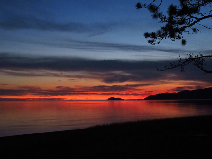
After the sun had put itself to bed, we went back to the campfire and made some hot chocolate. We didn't stay up too much later because we were tired from a long day.  We said good bye to Kelly because we were going home in the morning and we were not sure that she would still be around when we left because she was leaving too.  Before she left she told us that on the way home we should stop at the Voyageur and buy some Apple Fritters. Apparently they are well known for them and people come from all over just to buy them. Sometimes they are sold out in no time because they are that popular.  We told her that we would go there and try them out. 

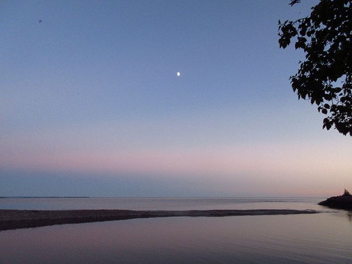
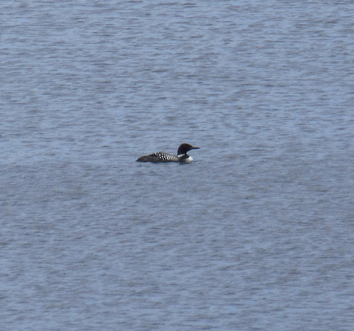
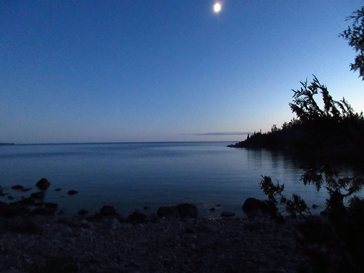
We slept well that night with the call of the loons in the distance as our lullaby, 
Picture
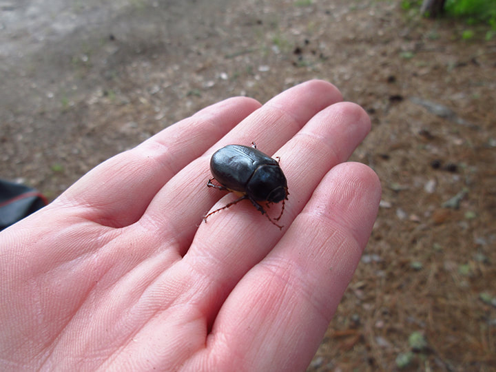
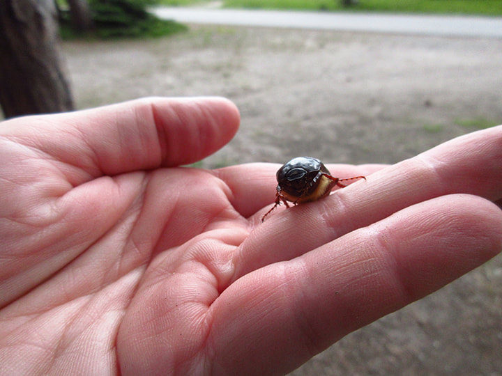
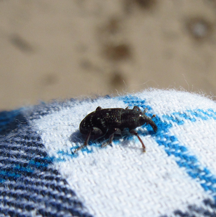
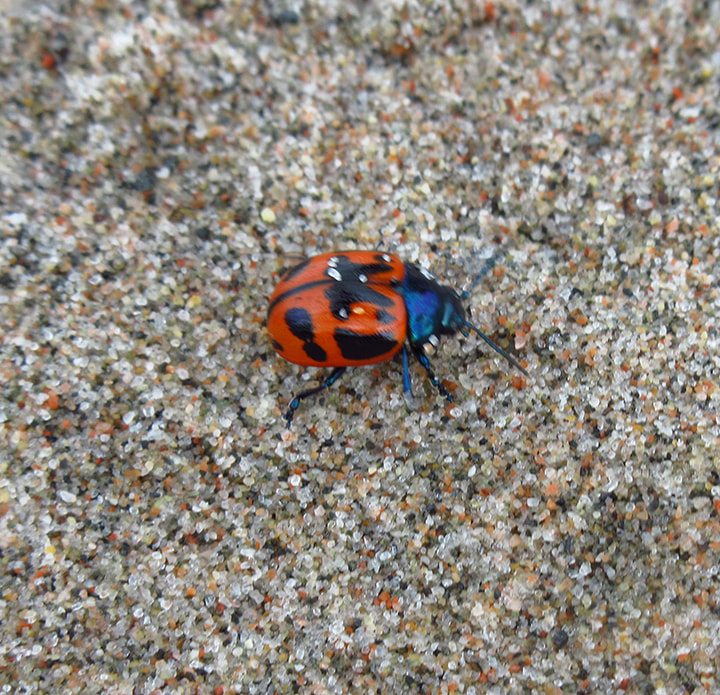
The next morning as we were packing up I came across a June Bug on my tent. 
Picture
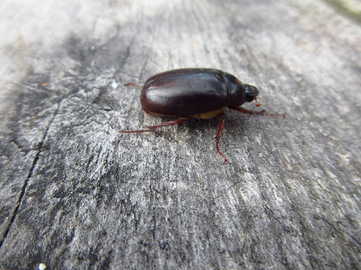
I picked him up to move him so that he wouldn't get squished. I love June Bugs. Heather and I used to have races with them when we were kids. Their picky legs feel a bit funny when they crawl on you but they are completely harmless. 
Picture
Picture
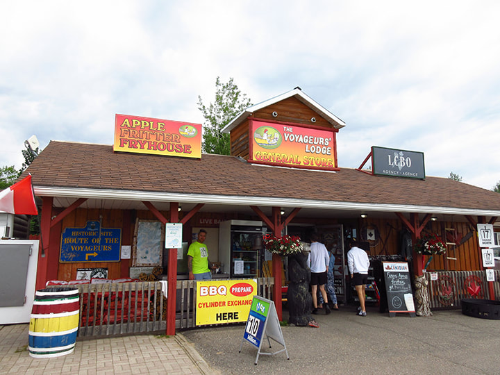
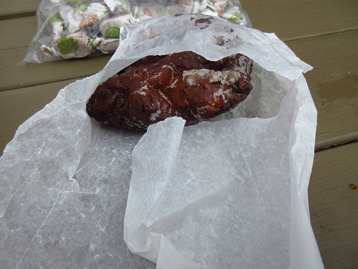
Once we were all packed up, we headed down the highway towards home.  Sure enough, we came across a road sign that said  "Voyageur Lodge -  Home of the World Famous Apple Fritters".   It was about a half hour away from the Agawa campground.

When we pulled into the parking lot, the place was hopping. There were people everywhere and there was a line up inside the door of people waiting to get apple fritters.  
Picture
Picture
Picture
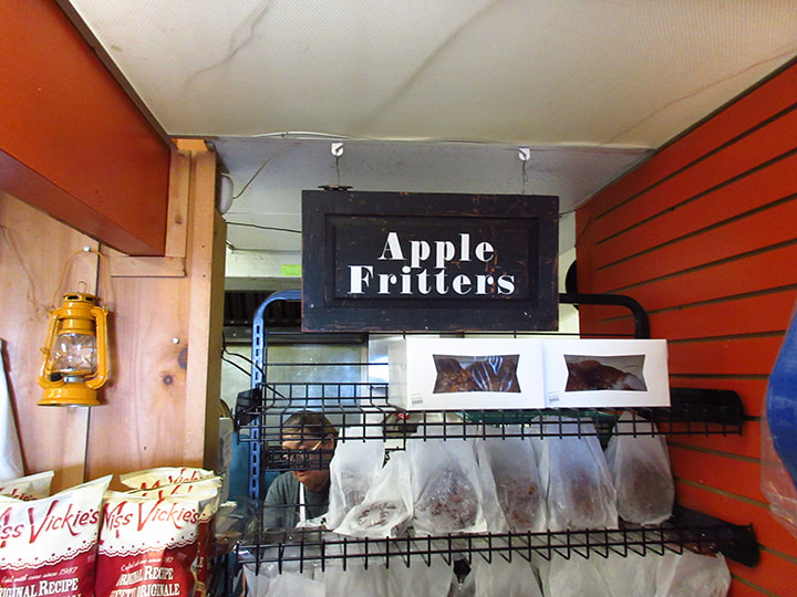
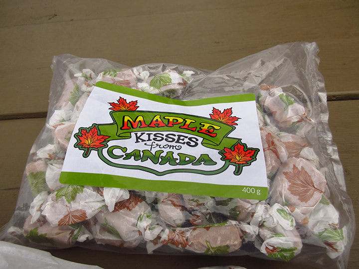
Apple fritters were not the only thing you could buy here. They also had drinks and other snacks and food items. I picked up a bag of Maple Kisses to take back home to my dad. You can't get much more Canadian that Maple Kisses! 
Picture
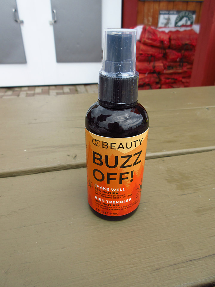
I also picked up a bottle of mosquito repellent that Kelly had shown me and told me about.  It is called "Buzz Off!" and is made with all natural ingredient like neem oil, cat nip, lemon eucalyptus, citronella oil and other essential oils.  Best of all it is DEET free!  I had to buy  a bottle for myself and one for my mom. 

In case you are interested in purchasing some for yourself, it can be found on their website here:  ​https://www.oc-beauty.ca/products/buzz-off-insect-relief 
​(I do not get paid for endorsing this product. It is purely in the spirit of  community service that I am presenting this information). 
Picture
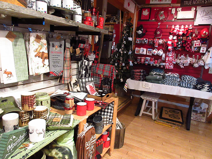
Not only does the Voyageur Lodge have an Apple Fritter house, but it also has a liquor store, gas pumps, motel, cottages, and a store next door called the "River Rock Gift Shop"  that sells crafts and souvenirs. They have a little bit of everything all in one place. The staff was super friendly and the whole place was warm and inviting. 
Picture
It was a nice way to end our trip. I am sure that we will stop in here again on our way through to our next camping or hiking adventure.  But for now we were anxious to get home and rest our weary bones. 
0 Comments

Step After Step, Mile After Mile, Day After Day

7/8/2022

1 Comment

 
It was a new morning. The sun was shining, the birds were singing  and we were refreshed and ready to do some more hiking. 
Picture
I even had a little Seedling Debarking Weevil that wanted to hitch a ride. 
Picture
We packed up and left the campsite at about 10:30 a.m.  The morning air was a bit chilly but once we got moving we warmed up pretty quickly. Kelly left before we did and said that she would meet us there. The group had already left much earlier that morning. 
Picture
Our next destination was back to Baldhead.  We planned to stop at Sand Spit for lunch.

​We came to a river that had no man made bridge across it.  
Picture
Instead we had to use the piles of logs and driftwood to get across. We managed to do it without falling in. 
Picture
On the other side we saw the first toad to be seen on our trip. 
Picture
As we walked through the woods, we kept hearing a bird with a really interesting song. The song was very very long. It went on and on without stopping for a breath. I have no idea what kind of bird it was. The song sounded like perhaps some sort of warbler.  We may never know what it was. 
Picture
The rocky coves were becoming all too familiar now.  But at least we knew what we were in for. We knew where the difficult areas would be and where the easy areas would be.  And that made it easier for us mentally. 
Picture
And knowing that we were going to one of our favourite campsites for lunch also made it more enjoyable. 

I was finding that I had to stop and tie my shoe laces so many times on this trip. On previous trips with the same hiking boots I had never had this trouble. It was a bit frustrating. However, today when I had to stop to tie my laces, I found myself face to face with a Four-spotted Skimmer dragonfly.
Picture
All in all, this part of the hike was fairly easy going. We stopped a few times for a quick break and to take a drink. 
Picture
But it only took us about an hour and a half to get to Sand Spit. We arrived around noon. 
Picture
Sand Spit was as gorgeous as ever. The water was crystal clear and the sky was blue. Now this is a nice destination for a backpacking trip. If I had to do this trail again (which I doubt I will be doing anytime soon) I would try to spend a couple days on this campsite and just relax here and enjoy it. 
Picture
I noticed a crevasse nearby that I had missed the last time we were here.  At the very end of it some wild roses were growing.  Kelly mentioned this spot later on when we caught up to her. She said that it looked like a grave. It does kind of remind me of a grave now that I look back on it. 
Picture
Picture
While we were down at the beach we saw something that took us by surprise. All in one spot there were about 5 Canadian Tiger Swallowtail butterflies all grouped together. We watched as another one fought the wind to try to join this group.  We wondered what they were doing there all huddled together. 
Picture
Later on, Kelly told us that what they were doing was something called "puddling" or "mud puddling". They congregate on wet sand and mud to partake in extracting salts and minerals from damp nutrient rich areas. Some of he nutrients collected may be provided as a nuptial gift during mating rituals. 
Picture
We knew that the rangers had been here since the last time we were here. The fire pit had been full to the rim with ashes when we were here last and now it was empty.
Picture
Also, the toilet had been moved. The old one was buried and a new hole was dug for the new one. They may not have parts of the trails marked well, but one thing I can say for them, they do take very good care of the sites and trails! 
Picture
Picture
We stayed at Sand Spit until about 1 pm. Then we said good bye to the butterflies and continued on our way.
Picture
We still had about 4 or 5 more kilometers to go before we reached Baldhead. 
Picture
We came to the area where Carsten and I both fell and "turtled" days before . This time though it was dry and not so slippery. We managed to stay on our feet and not fall over this time. 
Picture
The bugs were not bad really. Don't get me wrong, they were definitely there; they just weren't biting much. 
Picture
We got to Baldhead site number 4 at about 3:30 pm. (which is about a kilometer away from the other 3 Baldhead sites).  Heather arrived there first and began to filter water for us.

When Carsten and I arrived, Heather told us how a German man arrived at about the same time as her. He saw her and started running to the site. He was worried that we wanted the site. To be honest, we hadn't really settled on which one we wanted. All we knew was we didn't want the one we had last time because of the "no-see-ums" that were biting us all night long.  The man was happy when Heather told him that he could have this site and we would take one of the ones further down.  He went back to get the rest of his family and they all arrived at about the same time Carsten and I arrived.  We chatted for a bit. They told us how they had come from Germany for a vacation and were staying here for one night and then tomorrow they were going to Kilarney Provincial Park for a few days.  Once we got our water bottles filled we wished them well and continued on our way. 
Picture
Once we walked away, Heather pointed out that it was good that they had wanted that site because otherwise we might have walked all the way over to where the other 3 sites were only to find out they were full and then had to walk al the way back. That would have added an extra 2 kilometers to our trip. So this worked out well for us. 

As we got closer to the other 3 Baldhead sites we passed a large boulder with ferns growing on it. It looked like a giant head with hair sticking up.  
Picture
We arrived at our site just after 4 pm. We ended up on site number one which is the furthest away, but also the one that is the closest to the end of trail. So, less walking tomorrow. 
Picture
The group had already arrived and they got site number 3, which was the site we had the first night.  It was one of the bigger sites so it had room for them all. We checked to see if Carsten's tarp was still between the rocks where we had left it, and it was. So we took that with us. 

The group  was hanging out on the rocks and most of them had gone in swimming. You could hear them yelling and whooping as they jumped into the cold water.  They were happy to be there and they were having a great time. 
Picture
After the group's site came Kelly's site. We said hello to her as we passed by and told her to come by a little later after we set up. 
Picture
And that just left our site. Site number one.  On the first night we were at Baldhead I thought that site number 3 was the best site. But after staying at site number one, I think I actually prefer it over site number 3. 
Picture
After arriving here, we realized that the sand bar we were looking at just a little ways out from the shore was where we had lunch the very first day we arrived.  We could potentially walk or swim through the water to get there. However, we had no desire to do this so we didn't.
Picture
Picture
The flowers were everywhere around this site. There were pink wild roses and purple and pink Seaside Peas. It was a really lovely site. 
Picture
We got to work setting up camp. The main trail runs to the right of the campsite but that was no big deal because it is not a high traffic area. 
Picture
Carsten set up his tent closest to the trail. 
Picture
While Heather and I set up our tent closest to the bathroom. There was plenty of room for the tents with lots of room to spare. 
Picture
The thunder box was clean and in good condition. It was easy enough to get to in the middle of the night without tripping over things or climbing mountains to get there. You could see our blue tent from there, and yet it still afforded plenty of privacy.  As thunder boxes go, this one was a pretty good one. 
Picture
Picture
Picture
After we were  all set up, Kelly came by and we sat down at the beach and chatted for awhile. 
As we were talking something very big flew around us. At first I thought it was a butterfly but once it landed at our feet I realized that it was actually a very large moth.  
Picture
I got it to climb up on my hand and was able to take a better look at it. I loved the big fuzzy body and antennae. I rarely ever see these gentle giants. 
Picture
Picture
Kelly and I talked about the moth and tried to figure out what kind it was. We both thought it might be  Sphinx moth. But after getting home and submitting its picture to inaturalist.ca I found out that it is actually a Polyphemus moth which is a member of the giant silk moth family.   The name is not as fun as the Sphinx moth's but it is more beautiful than the Sphinx moth is. 

I noticed that this moth had some tears in its wing. It probably wouldn't be able to fly very far. 
Picture
Not knowing what else to do with it, I put it up in a tree off the ground in hopes that it would stay safe. Once on the tree it started to flutter its wings and climb higher and higher up. I guess it liked it up there. 
Picture
Picture
After that Kelly went back to her own campsite for awhile and I decided to go for a walk by myself for awhile in order to do some bird watching. I could her plenty of birds nearby but they didn't really want to be seen.

I walked down the trail a way and found a good spot to look for birds. Standing very still, it wasn't long before I saw a flash of red in the trees nearby.  
Picture
It was a male Redstart. He was beautiful!  I had never seen one before. 
Picture
As I stood there quietly watching him , along came another bird in a nearby tree.  It was a female Redstart. 
Picture
At first I thought she was an Oven bird or  Vireo or Wren. But her yellow tail and sides gave her away. Of course I didn't know this at the time. I had to look it up when I got home. I don't know my birds all that well. 
Picture
But these two birds I knew well enough.  These ravens were easy enough to see and hear as they flew across the lake to an old tree in the distance. 
Picture
Down at the beach the moon was coming out early this evening. 
Picture
The sun wasn't even near to setting yet and still the moon insisted on making an appearance. 
Picture
I put on my water shoes and waded out into the lake for a bit. The water was cold! 
Picture
When I got back to the campsite I started thinking about gathering wood for a fire. I guess the rangers hd been here not too long ago because they had left behind some wood that had been cut with a chainsaw. They were dry enough to burn. All we had to go was take the extra branches off of them. Gotta like that! 
Picture
There were two things that reminded me of my mother at this campsite. The first was a daisy. My mother likes daisies. 
Picture
The second was a dime that we found sitting in the crack of the wooden bench by the fire pit. The reason why this reminded me of her is because both her and I have been finding dimes in the strangest places for the past few years. Supposedly it means that someone who has passed on is watching out for you.  I couldn't wait to tell my mom about this latest dime in a strange place. 
Picture
We started a fire in the fire pit and had our supper as we watched the sky over the lake slowly start to change colours. 
Picture
We put our food up in the tree after supper because we didn't have a bear bin this time around.
Picture
After supper, Kelly came by and we sat around the fire swapping stories.  Tomorrow we head off the trail and will be spending the night at the Agawa campground again. Kelly asked if she could hike out with us tomorrow and catch a ride to Agawa where her truck was parked.  We were more than happy with that plan because we had become friends with Kelly and enjoyed her company. 
Picture
From our campsite we got to see the gentle pale colours of the sky as the sun set over the lake.  We could hear the loons calling in the distance. 
Picture
Kelly made her way back to her campsite and we stayed by the fire for awhile longer.  At about 9:30 pm we decided to call it a night. This would be the last night for us out on the trail. As nice as this evening had been we were ready to get back to the Agawa campground. So going to bed early would make tomorrow come faster. It didn't take long to fall asleep because we were still feeling the effects of all the hiking we had done the past few days and we were tired. I am sure it will take us a few days before we get our energy back and recoup from this trip. 
Picture
1 Comment

Lake Superior Has A Way Of Dealing With Overconfidence

7/6/2022

0 Comments

 
I had the perfect sleep the night before and now we were waking up to a beautiful, sunny morning. It was not too cold or hot, and not too buggy. We couldn't ask for a better day for hiking! 
Picture
A pair of crows made their calls back and forth to each other. They were loud enough that it made sure we were awake by 8:15 a.m. 
Picture
We had a long way to go to get to Mermaid Lagoon today.  The chart that the park office had given us said that from Sand Spit to Mermaid lagoon was 8.3 km    We got packed up and left the Sand Spit campsite at about 9:30 a.m. 
Picture
On  the way to Mermaid Lagoon we would be passing by  the Beatty campsites as well as the Buckshot camp sites.  From Sand Spit to Beatty the trail was relatively easy going. We stuck together for the first little while. 
Picture
All of a sudden Heather, who was in the lead, stopped dead in her tracks. I wondered if she had seen a moose like we had seen on our Algonquin trip.  But soon I realized that it was something much smaller. It was a family of Spruce Grouse. 
Picture
It was a mother and her brood of babies.  I only managed to get a couple photos of the mother before they all took off in different directions. And of course, Spruce Grouse are masters of camouflage so, once they hid themselves, I could no longer find them. But that's ok. We couldn't stand around all day.. We had to get going. 
Picture
This part of the trail went mainly through the woods, but even in the woods, you couldn't escape climbing over boulders. In some ways it felt a bit like hiking in Killarney on the La Cloche Trail..  Since we had done that before and survived, we figured we had this trail well in-hand.  By the end of the day, we found out exactly how wrong we were about that. Lake Superior has a way of dealing with overconfidence. 
Picture
From Sand Spit to the first Beatty Cove site (of 4) it was about 2.3 km according to my pedometer. 
Picture
We stopped here for a quick rest and a bathroom break. 
Picture
The first site was decent in size and had two areas where tents could be put up. 
Picture
Picture
Picture
Carsten came back from the Thunder Box and told us how it felt like a scene out of a horror movie.  And sure enough, when I went to check it out, it was exactly as he described.  He said "Imagine you are walking down a creepy road with creepy trees on either side of you..." 
Picture
"And then, out of no where, a creepy old toilet appears  right in the middle of the road!"  I had to laugh because it was definitely reminiscent of a horror movie where something fairly innocent is made to be creepy looking and put in a spot that is completely out of place. 

The woods in this section reminded me of a childhood Berenstain Bears book called "The Spooky Old Tree"  
Picture
Not only because the trees were creepy, but because there were also bear tracks on the beach.   I wasn't too concerned though. The tracks were old and I was sure that he was long gone buy now. 
Picture
A creek cut through the stones along the beach from the tree line to the lake. We saw a few of these over the course of our trip. 
Picture
Since we were passing through and we knew that we would be staying at one of the Beatty Cove campsites on the way back, we decided to check out each of them while we passed by.  We wanted to see which one was our favourite. So we stopped for a minute or so at Beatty Cove site #2.
Picture
This one was pretty good.  But not the one liked best. 
Picture
Site number 3 was the one we liked the best.  It was big and had a good balance of open space and shade. Other people seemed to like it too. Someone left behind a little broom and dustpan hanging in the tree and a towel as well. There were a few other things, like an old ball and a welcome mat,  left behind that let you know that people seemed to use this site a lot. 

Heather and Carsten pointed out a couple other things that we liked about the site. 
Picture
There was a bear bin nearby which you shared with the other sites. 
Picture
And there was an actual l bathroom on this site!  When I first saw it, I was amazed. And then I wasn't sure how I felt about that.  Not because I didn't think that a port-a-potty in the woods wasn't a luxury, but because I was just picturing an out house full of cobwebs, spiders, and other creepy crawlies. 
Picture
But aside from the door latch not wanting to stay closed, and a broom that had seen much better days, it was actually not too bad and not quite as creepy as I first thought. 
Picture
The site itself was quite spacious and could easily fit a large tent or multiple tents. 
Picture
As we went further down the beach we noticed that there was another bear bin. So perhaps there was one for  each site instead of having to share one with the other sites. 
Picture
The final site of Beatty cove was also nice.  Really there wasn't  a bad site on Beatty Cove at all. I could see how this would be a popular destination on the trail, as I had read on a website. 
Picture
However, none of the Beatty Cove sites were as nice as the Sand Spit site we had just stayed at.
Picture
From the Beatty Cove sites, Heather decided to take off ahead of us for awhile since she liked to travel faster than Carsten and I do.  We told Heather that we would meet her at the first Buckshot campsite for lunch. 
Picture
We liked to take it slower so that we can stop to smell the flowers, so to speak.  Apparently the wild roses were also a flower that the flies like to stop to smell as well. 
Picture
Once again we came out of the woods and onto the rocky shores of the Coastal Trail.  We looked behind us and saw how far we had come. We could see the other points and coves in the distance. 
Picture
We  caught site of a loon enjoying the afternoon sun out on the lake. 
Picture
Next we came to one of my favourite  spots on the trail.  It wasn't a campsite, it was just an interesting place where a large creek ran from the woods to the lake.  Only, this creek was wide enough that you couldn't easily cross it. You had to look carefully for spots where the piles of dry gravel were close enough to the other side of the creek that you could jump across.  Sounds easy enough, but add to it that when you stood on the rocks for too long they tended to sink into the water under your feet, it made it a bit more challenging. 
Picture
We laughed as we jumped from one seemingly dry patch to another.   We made it across the creek without falling in and without getting our feet too wet. 
Picture
Once we got to the other side, there was another section of the creek that ran right under the rocks all together and came out on the other side, making a land bridge for us.  Water will always find the path of least resistance and I guess these rocks were just not  gonna keep it from getting to where it wanted to go. 
Picture
At 12:40 p.m. we arrived at Buckshot campsite number 4 and met up with Heather for lunch.  We were surprised to see a grave site made of stones and sticks on the beach in front of the site.  At first we thought maybe someone's dog had died here.  But then when we saw that there were a pair of socks sticking out of the end, we knew that this was someone's idea of a joke. 
Picture
It was even funnier when later on we found a single shoe with fake blood on it not so far away from the grave site.  It seemed to be someone's statement piece about how difficult the trail was.  We got a good chuckle out of it. 
Picture
It was 2.53 km to get from the Beatty sites to Buckshot site number 4 (For some reason the Buckshot sites were numbered backwards compared to the previous ones we had been on, so 4 was actually the first site from this direction).  So,  we had traveled almost 5 km in 3 hours so far. Not too bad considering the amount of boulders we were climbing over.
Picture
We took off our packs and sat down for a much needed rest. 
Picture
I got some water from the lake and we let it filter while we ate lunch so that we were able to refill our water bottles again before we left. 
Picture
While I sat, a little Snipe Fly, with it's lacey looking wings, stopped by for a visit. 
Picture
After lunch, Heather left first. As usual, she wanted to get a head start.  I needed to use the bathroom and I wasn't quite ready to go yet so Carsten stayed behind with me.  

Once Carsten and I did finally get going we ended up missing the trail marker that led into the woods and we followed the shoreline a lot farther than we were supposed to. We had to back track to find it once we realized we had gone too far.  By this time Heather was a good 45 minutes or so ahead of us. We finally got onto the proper trail and got going at about 2 pm.  We didn't know it yet, but this was the beginning of where things started to go wrong. 

We stopped briefly to check out Buckshot site # 3. 
Picture
This site had a large fire pit and space on both sides of the firepit for tents. 
Picture
Picture
There is a bench makeshift bench made of driftwood on the shore at the entrance to Buckshot number 3.  It was here that we met a mother daughter duo who were traveling in the opposite direction. We stopped to chat with them for a moment or two before continuing on. 
Picture
 We started to see Tiger Swallowtail butterflies here and there. 
Picture
We also started to see piles of deer poop.  I had to laugh when Carsten said "Now we know why they call this area Buckshot!"  
Picture
This leg of the trail was quite lovely but a lot of it was uphill.  We eventually came to another creek. 
Picture
But this time we had a bridge to cross it instead of having to jump it. 
Picture
Up on the top of a big rocky hill we saw another garter snake. This one was quite large. 
Picture
He actually stayed still for a bit while i took his picture. He probably thought if he didn't move we wouldn't see him. 
Picture
We came to a rather large hill that we had to climb. It was tiring not only because hills already take the energy from you but also because it was hot and we had been traveling for quite awhile already. 
Picture
But the view from the top of the hill made it worth the climb.  We stopped for a rest up here. Down below we could see the Buckshot site number 1.  (Somehow we had gotten distracted and missed site number 2 while we had been talking to the mother and daughter). 
Picture
That was when I noticed that I had lost my pedometer.  Carsten offered to go back to see if he could find it for me. So, he took off his pack and walked back while I waited. 

He went back as far as where we had seen the snake but he never found it. I suspect that I had lost it shortly after we had stopped to talk with the mother and daughter though, which was way way back there. So, it was completely lost and we never did find it again.  I was a bit disappointed because this next leg of the trail I really would have liked to have known how far we had traveled. This was the longest day of the whole trip. 
Picture
We continued on and went down the other side of the hill. As we neared the bottom of the hill we saw our first ever squirrel on the whole trip. So they did have squirrels here after all! 
Picture
Picture
At the bottom of the hill was Buckshot number 1. It was about  1 km away from the other 3 Buckshot sites.  Most likely this site was used mainly by canoers. 
Picture
This site was beautiful!  It had wide open spaces under the cedar trees and it had plenty of space. It's only downfall was that you had to climb a hill if you wanted to use the bathroom.  
Picture
But we didn't stay long. We were anxious to get going.  Mermaid Lagoon should only be about another  2 or 3 km from here. 
Picture
But from here on out the trail started to become more and more rough. 
Picture
And more importantly, the trail markers were becoming increasingly more difficult to find. Sometimes they were nonexistent or just hidden in obscure places.  But to be fair the park does give you warning in both the park brochure and on large signs when you enter the trail that the trail is not well marked. However, we were not prepared for how unwell marked it would be. 
Picture
We were constantly climbing over rocks along the shoreline. 
Picture
And climbing over rocks in the tree line. It was rocks rocks everywhere and I was thankful that I had a good pair of hiking boots. But even with a good pair of hiking boots, it takes a toll on your feet and legs. 
Picture
At least once in awhile we would get a beautiful view at the top of a hill. 
Picture
But mostly it was boulder fields. 
Picture
And steep climbs. 
Picture
At one point we came to a sign post that said we could go straight or we could take a detour to climb up yet another hill to a look out.. I said to Carsten, "Now who would have the energy to want to climb up there  to go see a look out at this point in the trail?"  I am sure there are others who would, but we were almost exhausted by this point and we were not going to attempt it. 
Picture
We went through a craggy area where large rock formations loomed above our heads. 
Picture
And then we came to a point where we had to make a steep climb down. We would not have made it down safely with our packs on. So we took them off and threw them down and then climbed down after them. Carsten went first. 
Picture
To make matters worse, not only did we have to take our packs off to get down, but we also had to shimmy under a log to do it!    We were not looking forward to having to go back up this section on the way back. We were not even sure how we were going to get our packs back up here. We would probably need some rope. But that was a future us problem. 
Picture
Around this point we got in touch with Heather on the walkie talkie to see how she was and where she was.  We had figured that she was at Mermaid Lagoon by now. 
Picture
Oh but she was not.... Far from it actually.   Cartsen and I had made it to a cove but here we had lost the trail. So we asked Heather on the walkie talkie where we should go from here since she had already come this way.  She sounded tired as she explained how we should look for a cliff and some cedar trees and the trail was hidden in there with no markers to guide us.   That  was becoming par for the course at this point. 
Picture
We decided that since we were at the lake, we would stop and filter more water for our water bottles that were almost empty again. We had probably been travelling about 2 or 3 hours by now which would make it around 4 or 5 in the afternoon. 

While we were resting and talking to Heather on the walkie talkies we were completely and utterly shocked to see Heather coming out of the bush, not in front of us, but.....behind us!   Ok what !?!?   
Even more shocked was Heather.  She had somehow come around in a complete circle.  She was baffled and exhausted and angry that she had wasted so much time going in a giant circle!  And understandably so. 

We rested for a bit while we got water and I took some time to watch a snail in the lake while we figured out our next steps.  But the whole time Heather just kept saying that she didn't understand how this happened. We all joked that maybe she went through a time warp.  
Picture
But all jokes aside, we had to figure out how to get out of here and how to get to Mermaid Lagoon. I told them that if we went in one big circle again and ended up back here like Heather did then we were just going to camp here for the night because we would be near water and we were just getting too tired.  

Heather was very reluctant to have to end up back here again and Carsten and I could kind of understand why, but it wasn't until the next day when we saw the tail that Heather had taken that we fully comprehended why Heather would dread having to end up back here so much. It wasn't the destination of here , it was the journey to get here.  I suggested that we get out the compass so that we would be sure to be going in the right direction and not go in a big circle.

Heather began to show us the hidden trail she had taken and we followed her. Eventually we got to a spot where we had a choice to make. We could either go straight and follow the trail into the woods, or we could climb some rocks to our left and get to a cairn marker that I could see at the top. We really didn't want to have to climb since it wasn't an easy climb, but we knew that it was definitely in the direction we were supposed to go in. 
Picture
So we climbed up and it turned out to be the right decision.  We had found the path again. At least for a little bit anyways. 
Picture
But that wouldn't last long.  We had now arrived at a spot that was the absolute worst section of the trail that we had been on so far. Not because of the terrain. We were accepting of the fact that the Coastal Trail was mostly a rock climb. No, it was more the lack of trail markers that was the problem. 
Picture
We were now out in the open with little to no shade. So the sun was beating down on us and it was hot.  Very hot. And we were exhausted and unsure of our way.  This made for a very cranky group of people. And now we had to find our way through a maze of unknown possible paths. 

So since there were not many trees here, much of the trail markers were made of piles of rock cairns. The problem with this is that not everyone who does these trails knows what cairns are. Some people think they are inukshuks an think they are decorations and want to build their own.  Well, that means we were finding cairns that weren't actually cairns.  Other people think that these are inukshuks made by people who aren't First Nation people and they deem it "culture appropriation" and they knock them over.  So in a horizon of nothing but rocks these knocked over piles are just another bunch of meaningless rocks. 

Picture
​Both of these scenarios can be  very dangerous for the rest of us coming up the trails behind. Because if we can't  find the trail then we have a major problem.  And it took no time at all for us to lose the trail.....over and over and over again. 
Picture
Together we started looking for the right trail. Heather was better at finding the right cairns than we were. The problem was that Heather was constantly going ahead of us so that we couldn't see her. Or when we could see her, we didn't know how she got to where she was. There were huge crevasses we had to find our way across.  

At one point, Carsten and I had seen a cairn way up at the top of a hill. So we climbed all the way up only to find that it ended up as a dead end and at a cliff that had a sheer drop about a good 100 to 200 feet to the bottom. There was zero way anyone was going down this. Had we known this, we never would have made the climb up. We  were too sore to be making extra climbs that weren't needed. 

So, we called out to Heather to help us find the way. She had found a marker at the bottom of the hill instead of at the top. She was frustrated that we weren't finding the trail as easily as she was. So she started yelling at us. Knowing the mental state of all of us I tried to just ignore the tone and go with the information. 
Picture
But it all unraveled when we got to yet another wide cavern to cross. At this point we had to take out packs off and drop them down and climb down and then put our packs back on.  However, since I was carrying the water filter Heather was worried that if I threw my pack that it would get damaged and she insisted that I take it out of the pack before throwing it. Now this made thigs worse for me because now the water filter was no longer safely bundled up in the protection of the soft clothes and things I had wrapped around it. It was now in my hand and able to be banged into things while I tried to carry it down with me as I climbed. So I called to Heather to come and take it while I climbed down. She shouted back to me "There is no way I am coming all the way back to get it!  I don't want to go backwards, only forwards!"  This made me mad because I am now kind of stuck trying to get across without damaging it and it would have been safer in the pack.  So I called Carsten and asked him to come and get it and I put it on my walking stick and passed it over the crevasse to him. He proceeded to carry it in his hand from then on. 

It wasn't long before we got to yet another place where we couldn't see where the trail was and Heather was ahead and we didn't know how she go there. So naturally we called out and said "How did you get there"" 
She snapped some sort of remark and that was the last straw for me. I lost it  and screamed at her "JUST STOP!  YOU NEED TO STAY WITH US!!"  Of course this resulted in a screaming match and it wasn't long before Carsten had also had enough and was screaming at her too "COME AND GET THIS PLATYPUS!  IT'S YOURS AND I AM NOT CARRYING IT ANYMORE!" 

Next thing you know, Heather was telling us that she was leaving us. And we said "FINE!"   and she said "WELL I HAVE THE WATER FILTER!"  . To which Carsten replied "WELL I HAVE A LIFE STRAW AND WE CAN BOIL WATER!"  (Heather still had my life straw from when we traded a couple days earlier but I was all for boiling water if I had to at this point). Heather yells "WELL I HAVE THE TENT!"  and I yelled back "WELL I HAVE AN EMERGENCY TENT!" Then Heather yells "WELL I DROVE US HERE AND YOU CAN FIND YOUR OWN RIDE BACK HOME"  thinking she would sway us to follow her. But it didn't work. With all 3 of us yelling "FINE!"  "YEAH FINE!"  "FINE!"  we parted ways. Heather went one way and Carsten and I carried on forward. 
Picture
By now it is about 6 pm and we no longer had Heather to find the way for us. We were on our own. But our anger from the fight made us all that more determined to get to Mermaid Lagoon.  Carsten and I still got lost a couple more times but we did eventually make it out of that nightmare of an area. I told Carsten that "This is a real world outdoor Escape Room!" 

We kept coming to cove after cove, thinking that Mermaid Lagoon couldn't be much further. Maybe it's the next cove away.  (It was actually about 4 coves away from where we parted ways with Heather).  We stopped at one cove along the way where there was a bit of shade to take a much needed break. 

As we sat there I just listened to the sound of the waves lapping up against the stones on the shore and kept thinking about the argument with Heather. As I sat I could have sworn I heard Heather saying  "Miserable $@!%'s"  I looked up ahead at the tree line where our trail was leading and I had a feeling of being watched. I figured it wouldn't surprise me if Heather had found an easier route and was now ahead of us. After all, Carsten and I did get lost a couple more times before ending up here. So it was totally possible. But we were too mad to make any contact with her right now. I figured we could hash it out if she made it to Mermaid Lagoon before us and we found her there. Right now I just wanted to rest a moment. I just kept thinking that Mermaid Lagoon better be worth it!  And at this rate, there better damn well be mermaids there! 
Picture
Finally we saw the sweet sweet sight of the orange Mermaid Lagoon campsite sign.  
Picture
Heather was not here.  And there were no mermaids. And it really wasn't worth what we went through to get here in our opinion. It was now 8:15 pm and  it had taken us 11 hours to get here. Who knows how many kilometers we had travelled.... since losing the pedometer we had no clue. I can tell you this, it was way more than 8.3 km though. 

The site was the same set up as most of the others. But one of the logs beside the firepit was no good as a seat or anything else. It was too wobbly to sit on and even putting any of your gear or even so much as a cup on it, resulted in that item ending up on the ground. 
Picture
Despite it being after 8 pm, the sun was still out and that gave us time to set up and to look around. The view from the beach was still a pretty one. 
Picture
Between the shore and the campsite was a bear bin. That was a welcome sight. It meant we didn't have to find a tree to put our food up in and that was one less thing to worry about. 
Picture
The inside of the bear bin wasn't lovely. It had a left over rain poncho and a pair of crocs and a bag of trail mix in it that someone had left behind. 
Picture
The bathroom was a bit tricky to get to. You had to go down a trail and climb over logs and rocks to get to it. 
Picture
And when I did finally find it, there was someone's garbage left strewn all over the ground all around it. I am assuming someone thought it would be ok to leave their garbage in the toilet and an animal had probably gotten at it.  Not that that is ok because it isn't but it was a preferable thought to someone just leaving it lying all over the ground  just everywhere. 
Picture
After a while we noticed that we were starting to lose sunlight and that we had better started preparing for the night.  I wondered how Heather was doing and if she was safe. So I picked up the walkie talkie and started calling her on it about every 15 minutes. There was never any response though. 
Picture
Carsten took out his Life Straw and started to check it out to see how it works. We had never had to use one before. It worked good but we figured it might be better to just boil a bunch of water instead. 
Picture
Carsten got his tent set up over in a nice little nook. 
Picture
And I got about to setting up my emergency tent.  So a couple things about the emergency tent.  It says it is big enough for two. I suppose it is.... if the people aren't too big, aren't moving around much and have no gear. Also, it  has no doors. It's just a big tube of shiney material that you run a string through and then tie each end to some trees. Then you use some rocks to hold down the corners to make a triangle shape. Since it had no doors, I decided to McGyver it by taking out my emergency blanket, cutting it in half, taking a bit of duct tape that I had in my first aid kit and attaching the orange ends to both ends of the tent. Voila! my emergency tent now had doors!  (Remind me that I need to buy a new emergency tent and blanket). 
Picture
It wasn't pretty to look at and it was a bit cramped but it would do. 
Picture
We now started to get to the task of boiling water. We went down to the lake to scoop up some water in one of our red plastic dry bags so that we didn't have to keep going back and forth.  While we were down there we saw a beaver swimming around and chasing the fish that were jump up out of the water in the twilight.  This was the closest thing we were going to see to a mermaid here. 
Picture
Picture
The sun was starting to set and the moon was coming out. It was lovely but  we were too tired to enjoy it. We hadn't even eaten supper yet. 
Picture
We set about building a fire. It took some time to get it hot enough to boil water.  All we had to boil water in was one small pot and one metal cup. Then the water had to be cooled so that it could be put into our plastic containers without cracking them.
Picture
Turns out it was the cooling down of the water that took the most time and held us up in our progress. We couldn't remember how long to boil the water for. Carsten asked if it was one minute or five. To be safe we did five. He would take out his phone and start the timer. And so we did the slow process of boiling water by lamp light. It took a really long time. Longer than we had anticipated. 
Picture
Eventually we had enough water for supper and to get most of our water bottles filled. We figured we would do more tomorrow. Perhaps with the Life Straw it would be faster (hint.... it's much faster!) 

Still no response form Heather over the walkie talkie. Not surprising really. With the height of the hills and all the trees between us the walkie talkies don't get a good signal when you are too far away from each other. Just before bed I said "Good night Heather! I hope you are safe! I am turning the walkie talkie off now" just in case she could hear us and was just not responding because she was still mad. And then I turned it off for the night to conserve batteries. 
Picture
At about 11 pm we were ready for bed. We were wiped right out. I could hear the creek babbling near by and it was a comforting sound. My legs were so sore that I couldn't put one leg on top of the other when I lay on my side because they just ached too much. I was comfortable inside the emergency tent but I had trouble getting to sleep for two reasons. 

The first was worrying about Heather. Did she make it to a campsite? Was she in a make shift campsite somewhere because she couldn't make it back?  Did she make it over the rocks ok? She is allergic to hornets so did she get stung?  All these thoughts. 

Second was because although I was warm, my body was shivering. Looks like I had some symptoms of heat exhaustion. The next day Carsten said he had the same thing happen to him when he tried to go to sleep.  I mentally told myself to relax and calm down and after awhile I finally fell asleep. 

What a day. What an adventure. And we weren't even done yet. Tomorrow we had to find our way back and find Heather! 
Picture
0 Comments

Between A Rock And A Hard Place

7/5/2022

1 Comment

 
We woke up to a rainy and misty morning. We got out of the tent at about 9:45 a.m. There was a bit of a chill in the air but nothing that a good hike wouldn't take care of. 
Picture
​It was so foggy that you could barely see across the lake.  
Picture
Even the loons were trying to find their way through the foggy soup. Heather didn't want to travel in the fog over the wet rocks so we decided to stay until the fog lifted a little bit. 
Picture
The tent had stayed dry under the tarp during the night. It was only chilly when my zipper on my sleeping bag came undone once.  It would have been a great sleep except for one unexpected problem.... we were infiltrated by No-See-Ums. What are no-see-ums? They are a variety of biting gnat or midge that is so tiny it can hardly be seen with the naked eye. No-see-ums are so small that they can pass through the average door screen. I guess that they were attracted to the light we had on in our tent while we were playing cards before we had turned in for the night.  They had been biting me around my eyebrows during the night until I put a blanket over my face. They bothered Heather more than me because they were all over the place on her side of the tent. We could see bunches of little black dots, especially in one corner of the tent.  We sprayed the tent with bug spray before packing it up.  We also decided to try to get a different site on the way back since we would be spending another night at the Baldhead North campsites on the way back. 
Picture
I am not sure what time it was when we finally packed up and left, but it was definitely after noon. There was only a wee bit of rain. More like a mist really. 

Right away we came to a field of large rocks in the middle of the woods that we had to climb through to get to the more even trail ahead. 
Picture
It was only about 1 km to get to the fourth Baldhead campsite.  I am not sure why it was further away than the other 3. I am guessing because it is intended to be a site for canoers rather than for hikers. 
Picture
The trail led from the woods back to the shoreline. 
Picture
Despite the fact that it was no longer raining, no matter where you went, everything was wet and slippery. Everything that you usually use to help steady yourself .... rocks, tree roots, everything...  was wet and very slippery.  You couldn't trust anything beneath your feet.  

Cartsen was the first one to fall over and , as I call it, "turtle".  I call it that when you fall over and can't get back up due to the weight you have on your back.  When he fell over, Heather was too far ahead to see it happen and so I hurried to get to him to help him up.  However, he managed to roll over and take his pack off and get upright before I reached him. Luckily he wasn't hurt too much. A bit sore in places but nothing that required medical attention. 
Picture
When we reached Baldhead  campsite number 4 we took a quick look around. 
Picture
It was a spot we might consider for the way back. It wasn't as big as the last site we were on, but as long as it didn't have any no-see-ums then we could make it work. But we didn't have to think about that yet. That was still a few days away. 
Picture
And so we carried on.  The wet rocks may have been dangerous but they made the colours of the flowers pop out. It was actually quite beautiful. 
Picture
Before we knew it, we were in a section that was particularly rough. I highly suggest that anyone doing this trail make sure that they have really good hiking boots because you are gonna need them. 
Picture
There were places that were too slippery to climb with our packs on. In some places we took them off and threw them to the bottom of a crevasse and then slid down the rocks on our butts to get to the bottom. 
Picture
The day seemed grey and gloomy and yet it had a mystical beauty to it. But we weren't thinking too much of the scenery at the time because we had to keep looking down at where our feet were. 
Picture
However, even when you are looking down at your feet, you sometimes can't help but notice the flowers along the way. 
Picture
This trail is full of rocks of every different size. From the small grains of sand and pebbles to the giant boulders; you have to climb over it all.  And the rocks can be deceiving. There are flat ones that you think are sturdy but they move out from under you and then the round ones that you think will roll away on you end up being sturdy and still. You just never knew what your next step was going to be like. 
Picture
It was here that it became very clear how dangerous this trail can be. I ended up falling forward and getting my left ankle wedged between two large stones. My right knee got wedged between two other large stones. My right arm was under the weight of my body and my walking stick was between me and my right arm so that my arm was pinned under me. To top it all off, the weight of my backpack slid forward so that most of the 30 pounds of it was pinning my head to the ground. It was like having a small child sitting on your head. 

I was stuck. There was no way I could get up and since both my legs, and my head and arm were pinned I also could not roll over. It was taking all the strength I had to keep my body weight up high enough off my arm and legs so that I wouldn't break any bones.  And so what did I do?  .... I laughed!   I laughed and I laughed. I couldn't stop laughing.  I did manage to yell out to Heather and Carsten to come get me but I kept picturing how funny I must look.  Plus, I sometimes laugh when I get a bit of a fright. So I am sure that added to my laughing spell. 
Picture
Heather and Carsten rushed over to help me as fast as anyone can when you have to climb over slippery rocks to get there.  Carsten undid my backpack while Heather helped to lift me up and keep my weight off my pinned arm.   After being released from my rocky prison, it dawned on me that had I been hiking alone there would have been no one there to help me and I would have been in some serious trouble.  I checked myself over and luckily I was not seriously hurt. I am sure my shoulder will end up with a bruise and my ankle and knee were a little sore,  but that went away by the next day. So all was well.  We carried on through more rocks and forest. But we were now taking it super slow and gaging every step. 
Picture
When we reached the top of one of these rocky mountains we stopped for a long, much needed, break. We had traveled about 2.49 km by this point (according to the pedometer).  I took the opportunity to look down at the lake far below. The large rocks and boulders looked like small pebbles and stones from way up here. And  the water was a pretty greenish blue colour. 
Picture
We got started again at about 2:45 pm.  Some parts of the wooded areas were fairly dense and you had to fight your way through it.  The sun came out for a bit and things were starting to dry up just a wee bit. 
Picture
But not enough to dry up the large areas of thick mud on the trail. 
Picture
Even in the middle of the woods you couldn't escape the stones. Stones and water were everywhere.  These stones were actually the bottom of a small creek bed and water was running through them. 
Picture
We were in and out of the woods and climbing over rocks. We were starting to get a bit tired. 
Picture
The sun disappeared and it started to get foggy again. 
Picture
It wasn't supposed to rain again for the rest of the hike but the sky was looking like it had changed it's mind. Lake Superior is known for having weather that can change at the drop of a hat. 
Picture
We stopped for another, shorter break at one of the shore lines. We had gotten over the worst of the rocks and we weren't too far away now. 
Picture
So, Heather went on ahead of us. She is always faster than us. We had the walkie talkies so we felt comfortable splitting up for a bit.  We ran into a family of 4 who were going the opposite direction. They had come from Buckshot which was about 4 km away and were headed to Baldhead where we had just spent the night. We warned them of the rough terrain ahead. They looked tired already so I was a bit concerned about them and the terrain they were about to endure. 
Picture
We wished them luck and continued on our way.  In the woods, the moss covered rock walls that we hiked past were gorgeous. 
Picture
We were almost at the new campsite. Carsten stopped for a moment at a fallen log to wait for me to catch up. When I got there he laughed and said that he was waiting for the draw bridge to rise. The log was huge compared to the piece of drift wood that he had in his hand. 
Picture
In the water near the log a little Green frog peeked his head up. He thought we couldn't see him, I think. 
Picture
A few more meters and we had finally made it to the Sand Spit campsite. We arrived at camp at 5 pm. It had taken us 5 hours to get there. We had gone from doing a kilometer every half hour to a kilometer every hour now that the terrain had become rougher. 
Picture
Heather was already sitting on the sandy beach and taking her hiking boots off. They had gotten a little wet on the trek. 
Picture
This campsite was wonderful!  Easily my favourite site on the whole trip.  It had a beautiful view, and the best beach. It was well worth the trouble of getting there. 
Picture
From the beach we could see the family of 4 way off in the distance, climbing over the rugged stones of the coastline. From our vantage point they seemed to be having troubles navigating the area, but there was nothing we could do to help them except maybe say a little prayer for them. 
Picture
When the family was no longer in view we turned our attention to the wonderful things that surrounded us.. Wild roses were growing between the rocks. 
Picture
There were unique shaped logs and rocks to look at. 
Picture
And the Seaside Pea flowers were blooming everywhere. 
Picture
Carsten and I dropped our backpacks by the firepit and went to join Heather at the beach. We could put the tents up later. Right now we just wanted to relax. 
Picture
And relax we did!   Carsten found two logs to drape over and Heather just fell backwards into the sand.
Picture
Picture
The sun was fighting to stay out but it was starting to lose that battle. We had only been on the beach for about half an hour when it started to get pretty cold and super foggy again. 
Picture
Despite this fact, Carsten decided to go in for a quick dip. He swam to the big rock that was not too far from shore. 
Picture
Heather and I decided to stay on shore, wrapped up in our hoodies to keep warm.  Even on the hottest days, Lake Superior is a pretty cold lake. We  were not brave enough to venture into the water on a day with a cold wind. 
Picture
Instead I explored the water from the shore. I found a little frog trying to disguise himself as a rock under the water. 
Picture
And Heather called me over to show me a Swamp Milkweed Leaf Beetle that was crawling around in the sand near her.  It looked kind of like a lady bug, but when the light hit it just right, the black part on the top of him shimmered  green - blue colour.  
Picture
Out on the lake a lone Merganser duck swam in the fog. 
Picture
We were beginning to wonder if the weatherman got it wrong and if maybe we were going to have more rain after all. But ever so slowly the fog started lifting and the sun fought once more to come out.  The bugs were getting particularly annoying. I actually got my first mosquito bite of the trip at this point. This reprieve from mosquitos was now officially over because I got may more bites during the rest of the trip after that. 
Picture
While Carsten was swimming I went to check out the campsite.  There was a creek running right next to it and we could sit and listen to the relaxing sound of the running water. 
Picture
The bathroom is one of the most private ones I have seen in a long time on a hiking trail. It was clean and in good repair too. 
Picture
Picture
Back at the shore, Heather spotted a dragonfly that was floating in the waves of the lake. It was trying to get out of the water but it couldn't. This is the second time in our backpacking experiences that we have had to rescue a dragonfly.  Carsten was no longer in his bathing suit, so he grabbed a long stick instead and we pulled the dragonfly from the water. 

It was a Four-Spotted Skimmer. It was cold, wet, and tired and did not want to fly anywhere for a good long time; probably a good hour or two at least. We could relate.

​Once the sun started to come out, the dragonfly got a little more interested in moving about. It crawled further up the stick, until eventually it just flew away. 
Picture
The sun finally started to come out just before sunset. The sky looked dark in the distance but the clouds were moving away. 
Picture
We started to think about setting up the tents now. We briefly considered put up our tents right on the beach. But then we changed our minds once we remembered how cold it was at Pukaskwa Park when we were out on a rock face with no trees to shelter us from the wind.  
Picture
In the shelter of the trees there were two spots for tents. One was near the firepit and the other was up the path a little. 
Picture
Picture
After the tents were up, we made a fire. Heather put her wet boots near the fire in an attempt to dry them out. It took a long time but eventually they got somewhat drier. 
Picture
We ate supper beside the fire. We noticed that all of a sudden the mosquitoes seemed to be completely gone. Not sure why. This is usually the time of day that they are coming out in full force. But we were enjoying the bugless evening and we sat around the fire talking for a really long time. 
Picture
We became aware that the sun would set soon and that we should put our food up in a tree. So we did that and then I went and took a little walk down by the beach in hopes of catching a few pictures of a beautiful sunset. 
Picture
But the colours were muted and the sunlight left fast. 
Picture
We went to bed at around 11 pm. We were too tired to play any card games and we knew that we had to get up in the morning to start the longest leg of our trip.  Tomorrow we were headed to Mermaid Lagoon.  The chart they gave us at the office said it was about an 8.3 km hike from where we were. On a normal trail that would be a bit of a day but not too bad. But on this trail, well.... it would be a long day. 

We got into our sleeping bags and listened to the sounds of the nearby creek as it lulled us to sleep. 
Picture
1 Comment

Over The Mountains And Through The Woods, To Nobody's House We Go!

7/4/2022

1 Comment

 
   We woke up at 8 a.m.  It was a bit chilly but not too bad once you got moving. It didn't rain during the night after all and we were grateful for that.

   Our plan was to spend 5 nights in the back country and then come out and spend one more night in the campground before heading home. We would start on the Orphan Lake Trail that connects to the Coastal Trail. We planned to go as far as Mermaid Lagoon and then turn around and come back the way we came. 

   Once we had eaten breakfast and packed up our gear, we headed over to the gatehouse to register for the back country.  While we were there, we noticed a white van that was filling up with people who, I overheard, were also going to Orphan Lake, the trail we were about to start our journey on. It seemed to be a shuttle bus and we were curious about it. So, when we arrived at the Orphan Lake Trail head, my sister, Heather, took a moment to talk to the driver. He said that his name was Morgan and that he worked for Naturally Superior Adventurers in the town of Wawa. When Heather asked him about the pricing of a shuttle, Morgan did not know the pricing off hand. He said that it depended on where you were going, but that it was in the hundreds.  That seemed a little pricey to us but I suppose if you only wanted to hike the Coastal Trail in one direction then it would be an option for you.

   With our packs on our backs, we headed over to the large map to take a quick look at where we were and where the Orphan Trail would take us. 
   
Picture
We only had to do half of the Orphan Lake trail. We decided to take the left leg of the trail and planned to maybe take the right leg of the trail on the way back. The Orphan Lake Trail is an 8 km loop which meant we only needed to hike about 4 km to reach the Coastal Trail.  Then we estimated another 1 or 2 km to get to the Baldhead North campsite where we would be staying for the night.
​
Picture
   The the Orphan Lake Trail head they had something I had never seen provided in any other park trails before. It was a boot brush area where you were encouraged to brush off any potential invasive species of plants both before and after using the trail.
Picture
They also requested that you do not use soap of any kind in the lake, Not even biodegradable soaps. 
Picture
   With these things in mind, I turned on my pedometer and we began our hike down the Orphan Lake Trail.   The Orphan Lake Trail is a day-use trail and  is rated as "Moderate" which means it is well marked, with some steep inclines and uneven rooting. The Coastal Trail is a 65 km linear trail. We would not be going the full 65 kms. It is rated as "Very Demanding" which means the route is not well marked, has steep, rugged areas and uneven footing. So we knew we would be going from a relatively easy trail onto a much more difficult one. 
Picture
   Now, normally we do our backpacking in August when the bug level is much lower. Knowing that we were in the height of mosquito season I opted to put on some bug spray which I don't normally do. I am glad I chose to do this because  the bugs were definitely plentiful. However, I they did not bother me much this day because although they were flying around us, they didn't seem to be biting. So, naturally, I was grateful for that. 
​
The trail markers that we needed to keep an eye out for were blue. But we also had to watch out for rock cairns (markers made of piles of rocks) in places that were not well marked. 
Picture
Although the Orphan Lake trail was not a really difficult one, it did still have areas that were rocky and rugged. 
Picture
This particular trail was well maintained (nothing at all like our hike at Halfway Lake Provincial Park last year). They had even created a way to divert any rain water from the trail in certain sections (but not everywhere on the trail) by taking two portions of a split log and pegging them into place with a space between them. This would allow the water to travel in the space between the pieces of log instead of making a muddy mess on the trail. 
Picture
There were sections full of rocks and other sections full of roots. 
Picture
And other sections were thick with vegetation on either side of us. The scenery was ever changing all around us. We never knew what to expect next. 
Picture
   About half way up the trail you come to Orphan Lake. According to my pedometer we had travelled about 1.49 km (Note: my pedometer may not be 100% accurate). We were beginning to think that this trail was going to be a breeze all the way through. 
Picture
  But then the trail became a little more rocky after that.  The Orphan Lake Trail was starting to show a bit of it's true colours. 
Picture
 And shortly after we had passed the lake, we began climbing up steeper slopes and down rocky inclines. 
Picture
The terrain was starting to remind me a little bit of the La Cloche trail in Kilarney. 
Picture
But it wasn't all hard climbs and struggles. Actually, after you got over the one big rugged hill, the terrain gave way to gentler paths. There were wooden boardwalks over wet areas. 
Picture
And the trail became more level and open. 
Picture
After traveling 3.45 km (according to the pedometer) the tree line opened out onto a rocky beach. A family of day-trippers were enjoying the sun and the water with their dogs on the stone filled shores. 
Picture
The stones crunched beneath our feet as we headed further down the shore, away from the people and closer to our destination. 
Picture
It was nice to get out of the woods for a bit and away from all the bugs. There was a bit of a breeze coming off the lake which both kept the bugs at bay as well as cooled us down a bit. As of yet, I did not have a single bug bite. heather had a couple, but she was wearing shorts and short sleeved shirt and Carsten and I were not. 
Picture
We decided that here would be a good place to take our packs off and take a break and have a snack. We saw a couple of logs near the shore line and headed over to them to use them as seats. 
Picture
The sky was a bit overcast, but the scenery and the lake was beautiful. 
Picture
From where we sat, the lake was behind us and the river from a near-by water fall was in front of us. To our left it almost appeared as though the rocky shore was attached to the tree line in the distance. But if you stood up you would see that it wasn't. What we didn't know at the time was that we were actually looking across at our campsite across the river.  If we had been able to wade across we would be right there! 
Picture
We sat for awhile and rested and ate our lunch. It really is a nice picnic spot. 
Picture
The pinks and purples of the Seaside Pea flowers were stunning against the greys of the rocks beneath them. 
Picture
And the yellows of the Northern Evening-Primrose also popped out among the stones. 
Picture
But there were definitely more rocks here than there were flowers. 
Picture
 After lunch we continued on our way. The trail led back into the woods, but this time it followed the shores of the river. Both sides of the trail were covered in the white flowers and green leaves of bunch berry plants. 
Picture
To our right we passed by an area that the park had closed off to campers.  They were reclaiming an old campsite. There were signs there that clearly indicated that there was no camping here. Now these are the sorts of signs that should have been present on our hike last year at Halfway Lake in order to prevent any confusion. The staff at this park got it right. 
Picture
Along the side of the trail Pink Lady's Slipper flowers were quite plentiful. 
Picture
In order to get to the campsites you have to cross the Baldhead River. There are a couple of wooden bridges that will get you across. It is at this point where the Orphan Lake Trail and the Coastal Trail no longer share the same path. We were now officially hiking the Coastal Trail. 
Picture
Under the bridge the waters of the rapids flowed by. It was beautiful and I loved the sound of the running water and the sweet smell of the cedars in the air.  This is the life! 
Picture
There was a large sign posted that read "Caution. Slippery, steep and rugged trail sections ahead". For anyone intending to hike this trail I highly suggest that you head this warning. This cautionary sign should be taken quite seriously. Make sure that your hiking boots, and  gear are all up to snuff because this sign is no exaggeration. We now know this from experience. 
Picture
Finally we made it to the first of the 4 Baldhead North campsites. The big orange signs made sure that the sites were well marked.  it was only an additional 1.53 km from where we had lunch by the Orphan Lake Trail. We had come about a total of 5 km.  It was 2 pm so it had taken us roughly 2 and a half hours to get here. (Half an hour per kilometer).  
Picture
The first site was nice enough but we wanted to see the others before we picked which one we wanted. As far as we could tell, we were the only ones in the area and the first ones here so we had some choices. 
Picture
The second camp site was not far away at all. It was just a quick walk a little further down the shore. 
Picture
This site was a little smaller and didn't feel as open as the last one.  Nothing wrong with it, but it wasn't our favourite one. 
Picture
The third one was where we decided to lay our hats.  The fourth one was quite a distance away (about another kilometer) and we didn't feel like going all the way there to find out we didn't like it and come all the way back. So it was a choice between these 3 and this one fit the bill for us. 
Picture
It was quite large and open.  It had a big fire pit area with logs for seats all around it.  It was on the point so there was lake on either side of the campsite. 
Picture
The weather man predicted rain for the night and then good weather for the rest of the trip. In light of this Carsten had decided to bring his large tarp for the night and then we would stash it under a rock and pick it up again on our way back out so that we wouldn't have to carry the extra 3 pounds for the whole trip. He figured if someone found it and took it home with them then so be it. He would just buy another one. And if it was still there when we got back in a few days then that was a bonus. 
Picture
Heather also had a smaller tarp and we set that one up too. Heather was bringing her tarp for the whole trip though and not leaving it behind. Both tents fit perfectly under the tarps. 
Picture
Once the campsite was set up, we had some time to explore the area.  Growing nearby were some lovely Northern Blue Flag Irises. 
Picture
Someone had left an old pair of rubber boots behind. They looked like they had been there a long time. I don't think anyone is coming back for them.
Picture
Out on the point we climbed a rock outcrop and got a good view of Lake Superior. 
Picture
On the same rock outcrop we could see the lake on the other side of our campsite and could see the direction we would be travelling in the next day. 
Picture
From the shore we could look across the river at the mouth of the lake and see where we had eaten lunch earlier in the day. 
Picture
Right next to our campsite was n additional firepit. I am not sure if this used to be an old site or if larger groups just use it as a secondary fire pit.  It looked used so it is possible that canoers use this spot. There were some areas that a couple small tents could be set up. 
Picture
The next thing to check out were the Thunder boxes.  The markers for the bathroom were blue like the trail markers and were easy to find. 
Picture
The Thunder box was decent enough, however, the seat was not attached. That meant that every time you sat down, there was a possibility that your butt would slide off and you might end up on the ground. So that made it a little tricky to use. 
Picture
Growing all over the place were bunched of Twinflower with their dainty light pink flowers.  
Picture
As I gathered some firewood I came across a little brown snake. Just a regular garter snake. He was trying his best to get out of sight in a pile of rocks. It didn't take him long to disappear. 
Picture
I was surprised to see some very red leaves on a tree. I do not know what kind of tree it was but I was thinking that it was way too early for autumn colours just yet. 
Picture
In many places throughout the trails we came across wild roses. Often times a bumble bee or some flies would be doing some sort of happy dance in the center of one of the blooms. 
Picture
Picture
And what would be a camping trip on a lake without a visit from a loon?
Picture
And he had a couple of Merganser ducks as fishing buddies out on the waves. 
Picture
Then, I came across my second Garter snake of the day.  Same colouring, but this one was much bigger. He didn't disappear as fast so I was able to get a closer picture of this one. 
Picture
At about 5 pm we had the fire going and sat down to eat our supper.  the mosquitoes started to get a bit annoying at this point. probably because we were sitting still and were an easy target. I still didn't get bit though. They were just noisy and in your face. 
Picture
  We figured that we were going to play a board game or two later that night. But since we didn't have the big red tent with us to escape into away from the bugs, we decided to try something different. Heather had brought along a large thing of mosquito netting that is intended to go over a single mat so that you can lie down outside and read and take a nap. It is intended for only one person. We figured that we would try to jerry-rig it so that it would fit over the entrance of our tent in order to make enough bug-free zone for 3 people to sit comfortably in. We attached it to the tarp and to the tent using some string and clips that we had. In the end we made it work but it wasn't very good. makes me want to invent something of our own for future use that will fit much better. But we made do with it and it was good enough for a couple hours in the evening. We didn't need it to work all night long; just while we played games.. 
Picture
At around 7 pm a mist started forming across the lake.  Shortly after that a very light rain started to fall. Just what we call "spitting". 
Picture
Since we were done eating and we knew the rain would put the fire out soon, we decided to pack up the food and find a tree to store it in for the night. 
Picture
We found a good one near the beach on the other side of the campsite. It ws a good distance away and the tree was nice and tall. with a log nearby to secure the rope to it. 
Picture
At about 9 it started to rain harder so we went under the tarp and into our mosquito netted area and played cards for awhile.  We discussed how we had not seen a single squirrel or chipmunk on the entire trip so far, which is highly unusual for a provincial park. 

With the sound of the waves on the shore and the patter of rain on the tarp, it sounded like I could hear faint voices in the distance . But it was just my mind playing tricks. We didn't have a single neighbour at the nearby sites that night. 

We went to bed around 11 pm and fell asleep to the sound of the rain, the waves and the loons. It was a wonderful night. 
1 Comment

The Blue Lakes And Rocky Shores Of Lake Superior

7/3/2022

0 Comments

 
   Originally I wanted to hike Frontenac Park trails this year, however, by the time I went to book them they were already filled up. So, I had to look for a back up plan. I had travelled through Lake Superior Provincial Park a few years ago (the highway runs right through it) and it was also on my bucket list. So this park became the choice for our backpacking trip this year. 
   Since the park is 7 hours away, the plan is to stay a night at the Agawa Bay campground and then backpack part of the Coastal Trail for 5 nights, and then spend another night  at the Agawa Bay campground before heading home. 
   This trip there would be three of us on the trail; myself, my sister Heather, and my brother Carsten. 
Picture
   Having backpacked Pukaskwa before, which isn't too far away from Lake Superior Provincial Park, we knew that the temperatures here can get much colder than they do in many of the other parks especially at night. But it was still a bit of a surprise to go from a hot 22 degrees in the car to a much cooler 13 degrees when we got out of the car when we arrived. 
    We were not sure where to go right away. We couldn't see the office at first, but we did find the park store and Visitor Center. So we decided to start there. 
Picture
Outside the Visitor Center door was a sign that said "Ask Us About Bears".  We already knew there were bears in the area. We had seen a young black bear crossing the highway on our way in awhile back.
Picture
The store and Visitor Center is open from 9 a.m. to 7 p.m. daily.
Picture
The Visitor Center had an exhibit on the right and a kiosk on the left. We went to the kiosk to inquire about where to register. The staff there were super friendly and helpful. They let us know that we could register at the gatehouse which was just on the other side of the parking lot. 
Picture
   One of the biggest problems I had when booking this trip was that I could not find the distances between the campsites along the Coastal Trail. This meant that I was blindly charting a course for us, not knowing of we were travelling 2 km a day or 20 km a day.  I had tried to book sites that were close to one another just in case. However, some sites were already booked up so I had to take what I could get.  While we were at the kiosk, we asked if they knew the distances between the sites. 
   The young lady handed us a photocopied chart and helped us to figure out some of the distances. She said that they were working on getting the distances published online for people but that they didn't have them posted yet.  We were grateful to have a copy of the chart. At least now we had something to work with. 
Picture
   Knowing that there were no posted distances, I had purchased a pedometer before the trip in order to hopefully find out the distances on my own and post them to help out other people. I was interested to see if what my pedometer said would match what was on the chart. 
Picture
  They directed us to the next room, where the park store was,  to buy a waterproof map. The map was about $15.
Picture
The store was filled with souvenirs, art work, clothing, snacks, and a few camping supplies. I was able to get my sticker for my Ontario Parks Passport Book.  
Picture
   A cute thing they had this year were little "See Saw" badges for kids. If you saw a beaver, for example, you could buy a little badge that said "I saw  beaver" on it.  I am sure that little kids would love these. 
Picture
After leaving the store we headed over to the gatehouse to check in for our stay. The staff here were also super friendly. 
Picture
We got a brochure with a map of the campsites in it and the permits for the car and the post at the site. There were a number of one way roads in the campground so we actually had to do a figure 8 to get to our site. 
Picture
We were site number 317.  It was way down at the other end of the campground and was not on the waterfront. When I went to book the site, there were not many choices left for this day. However, on the last night of our stay I was able to book one that was close to the beach. 
Picture
Site 317 was pretty shadey which made it a bit chilly and it also meant there were more bugs.  We usually went backpacking in August when there were fewer bugs, so we knew that we were going to have to endure more mosquitoes than we usually do on this trip. 
Picture
The sites in the park are quite spacious. There was plenty of room for the large tent we set up and then some. 
Picture
Our site was very close to the bathroom. We noticed that the park had plenty of bathrooms. You never had to go far to get to one. 
Picture
The bathrooms were the non-flushing, out house style bathrooms. But they were very clean and well swept out and did not have an overpowering odor that you sometimes get. There was a soap dispenser at the sink. 
I noticed a sign that said "Please do not bathe in the sink". This made me chuckle a little as I pictured a bunch of grown adults sitting in sinks trying to take a bath.  (I know this is not how it would take place , but the thought of it amused me).  I guess with COVID they were not allowed to have the showers open so people were resorting to the sinks to keep clean I suppose. 
Picture
Picture
The comfort stations were small but they too were very clean and very well kept. I saw the staff go to clean them multiple times a day throughout our stay. This park was well looked after. 
Picture
Picture
Picture
We ate dinner, which were sub sandwiches that we had bought along the way on our drive here. After dinner we cleaned up our coffee mugs at one of the Dishwashing Stations that were provided throughout the park. 
Picture
After that we decided to go for a walk to see a bit of the park and to take a look at the site that we would be on once we got out of the back country after our backpacking trip. The roads were wide enough and well maintained. 
Picture
We walked down to the beach. It was partly sandy, partly grassy and partly rocky.  It's a very large lake and the water is very clear. There were benches here and there to sit on. 
Picture
To the left you could see the hills in the far distance along the shoreline. 
Picture
And to the right you could see that the beach went on and on with more rolling hills in the distance. 
Picture
The waves lapped up on the shores and made a relaxing sound. It was all very beautiful. 
Picture
There were so many pretty rocks on the beach. We spent some time combing through them and looking for some unique and unusual ones. 
Picture
Eventually we noticed that we were  beginning to lose sunlight and that soon the sun would be going down so we started to head back to camp.
Picture
At the far end of the park, close to our campsite there was a large rock formation that we decided to climb. 
Picture
From on top of the rocks we could get a good view of the area.
Picture
 And we could see the smoke from people's campfires in the  distance, wafting out across the lake. . 
Picture
It wasn't long before the sun started to set. 
Picture
And it turned the sky into a gorgeous explosion of oranges and reds that bounced off the water of the lake.
Picture
When we got back to camp we got ready for bed nd went into the tent to escape the mosquitoes and the chill in the air. We played  game of Splendor before turning in for the night.  '
   It was about 10 p.m. when we finally went to sleep. I could hear the sounds of traffic going by on the highway. It was not ideal, but then, I could also hear the sounds of the loons calling from the lake as well as the waves crashing on the shore. So I took the good with the bad.  I knew that tomorrow night we would be too far away from the highway to her traffic. I went to sleep dreaming of the peaceful nights ahead on the Coastal Trail. 
   
Picture
0 Comments

    Author

    Our family members have always been avid campers. It's in our genes. Rain or shine or sometimes wind and occasionally the odd snow fall, there we are with a tent and a smile. 

    Picture
    Thanks for taking the time to read about all of  my adventures! 
    I hope you are out there having your own adventures! 
    - Dana W.
     

    Categories

    All
    Aaron
    Aiguebelle
    Algonquin
    Arrowhead
    Backpacking Trails
    Balsam Lake
    Bass Lake
    Batchawana-bay
    Bon Echo
    Bonnechere
    Charleston Lake
    Chutes
    Cypress Hills
    Dana Jowsey Lakes
    Darlington
    Day Use
    Dinosaur
    Driftwood
    Esker Lakes
    Fairbank
    Finlayson Point
    Fitzroy
    French River
    Fushimi Lake
    Glacier
    Grundy Lake
    Halfway Lake
    Indian Point
    Ivanhoe Lake
    Kap-Kig-Iwan
    Kettle Lakes
    Killarney
    Killbear
    Lake St. Peter
    Lake Superior
    Marten River
    Mashkinonje
    McRae Point
    Mikisew
    Misery Bay
    Mississagi
    Moose Mountain
    North Beach
    Opemican
    Pancake Bay
    Parc De La Gorge De Coaticook
    Petroglyphs
    Presqu'ile
    Pukaskwa
    Restoule
    Samuel De Champlain
    Sandbanks
    Six Mile Lake
    Sleeping Giant
    Voyageur
    Waubaushene Beaches
    White Shell
    Widdifield Forest
    Wye Marsh

    Archives

    August 2024
    June 2024
    September 2023
    August 2023
    July 2023
    October 2022
    September 2022
    August 2022
    July 2022
    October 2021
    September 2021
    August 2021
    July 2021
    November 2020
    September 2020
    August 2020
    July 2020
    August 2019
    July 2019
    June 2019
    May 2019
    September 2018
    August 2018
    July 2018
    June 2018
    September 2017
    August 2017
    July 2017
    October 2016
    September 2016
    August 2016
    September 2015
    August 2015
    October 2014
    August 2014
    September 2013

    RSS Feed

    Copyright

    Please contact us for permission to use any content on this site.
Proudly powered by Weebly