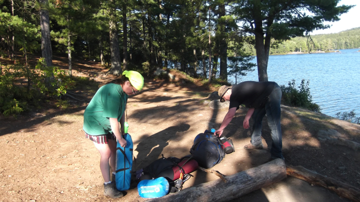
Our second ever attempt at backpacking was right on the heels of our Killarney backpacking trip only just a few weeks previous. This time our attempt was much more successful. We had learned our lessons and packed accordingly. This time our packs were only 27 - 29 lbs instead of 40 -45 lbs and it made a world of difference. My mother's pack was the heaviest at 35 lbs. Personally I thought even that was a bit too heavy, but she said that she was fine with it.
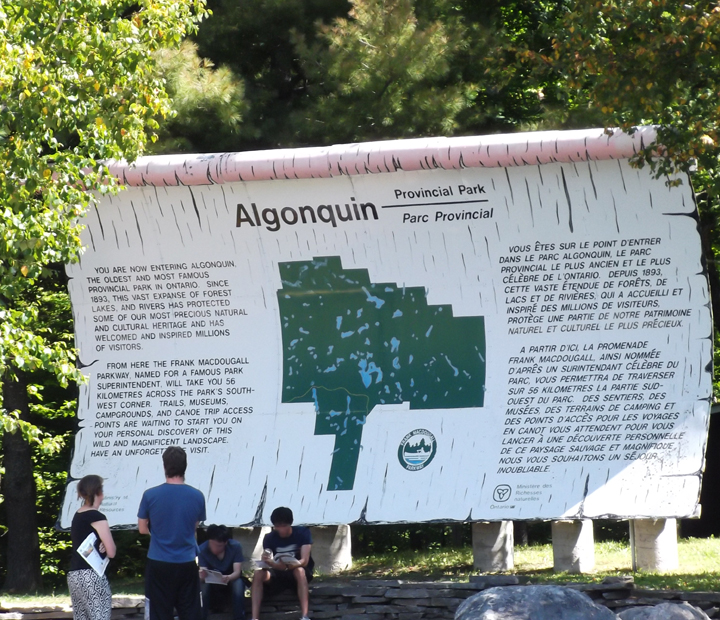
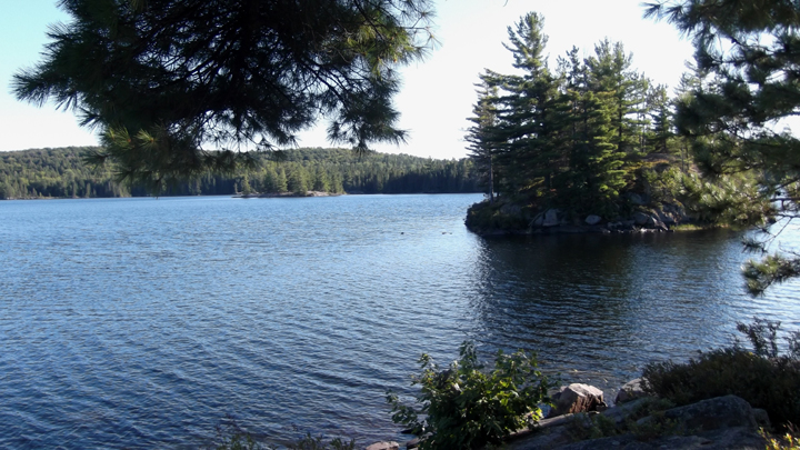
We were on our way to Algonquin Park to hike the smaller loop of the Highland Trail on Provoking Lake. We drove about 2 hours and arrived in Algonquin Park at the entrance just past Huntsville. Algonquin Park is a huge park with many campgrounds and many entrances and many hiking trails.
We were on our way to Algonquin Park to hike the smaller loop of the Highland Trail on Provoking Lake. We drove about 2 hours and arrived in Algonquin Park at the entrance just past Huntsville. Algonquin Park is a huge park with many campgrounds and many entrances and many hiking trails.
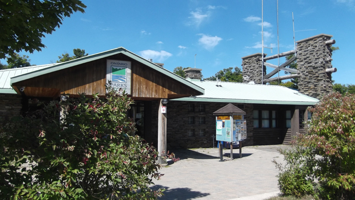
We knew we were headed to the Mew Lake campground but we stopped first at the Information Center about 30 km before Mew Lake. Here we were looking to pick up a map of the trail we were about to make our home for the next 4 nights and 5 days. When we got to the Information Center it was very busy with long line ups. We asked about a map and were told the one we found on the shelf was the only one available. We were also told that the registration office at Mew Lake would have one. So we decided to avoid the huge line up and just pick one up at Mew Lake.
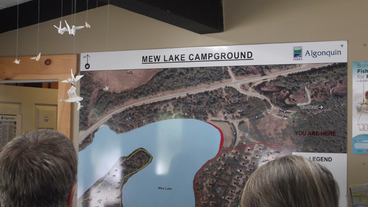
Inside the gatehouse at Mew Lake was a large satellite view map of the campground which I thought was very helpful for campers in choosing their sites. We had a much shorter line to wait in here and we looked at the brochures and the paper cranes hanging from the ceiling as we waited. We did not however, see any maps available.
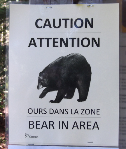
After giving a description of our tents and signing the page that said we were aware of, and would follow all the rules about not attracting bears and other wildlife, we were ready to get started on our adventure. We have encountered bears before on our Killarney trips so were were not overly concerned with another encounter with a bear.
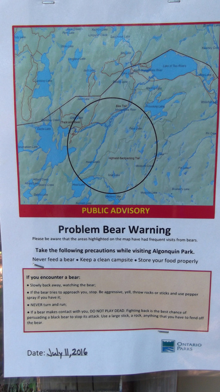
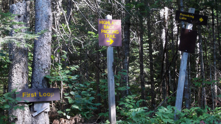
We had to get in the car and drive back about a half a kilometer or less to the trail head to begin. At the trail head was a large posted sign about the trail and some safety guidelines. Right away we were already breaking rule number one because we didn't have a map. But we weren't about to drive back 30 km to the information center to get one.
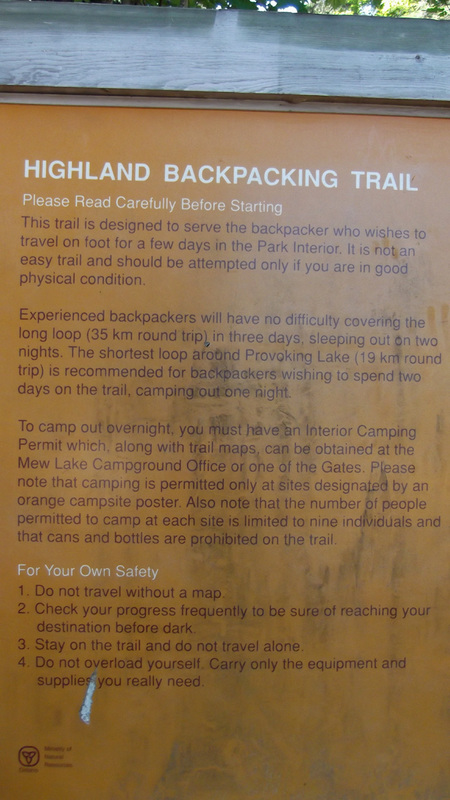
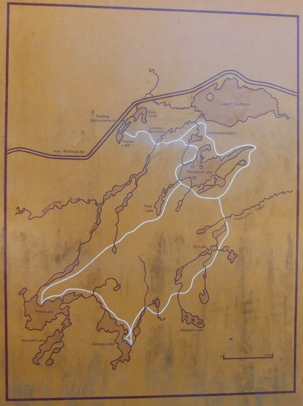
I had already studied the map and had a fair memorization of where the campsites were and the distances between certain points. We intended to hike only the small 19 km loop and we planned to camp on the closest site for the first night. It was 1:35 pm by now and we expected to make it to our site by 6:00 p.m.
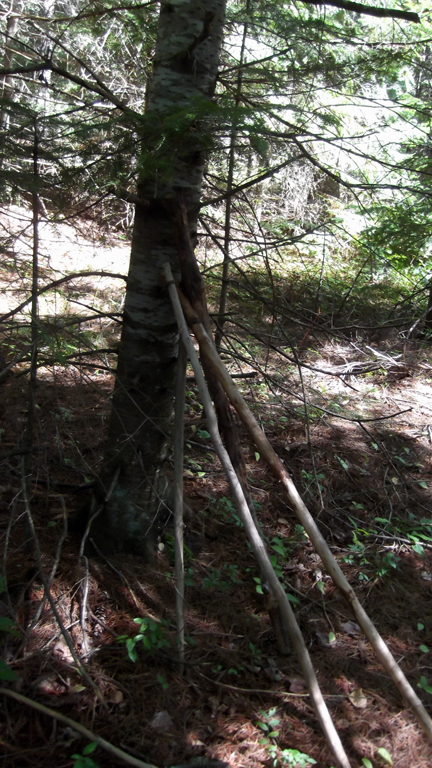
Off to the side of the trail was a pile of walking sticks that previous hikers had left behind. My sister Heather and my mom both took one but I didn't notice them and I didn't end up taking one with me. There were some points on the trip where it would have come in handy, but I managed without one.
So with walking sticks in hand and backpack straps all tightened up we got our hike under way.
Right away I noticed a difference in the trails versus the Killarney trails. The Highland trail was much wider with more flat and easier to maneuver terrain.
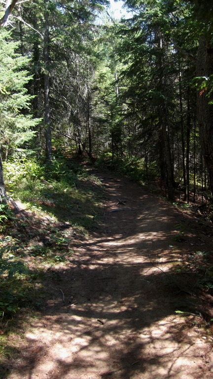
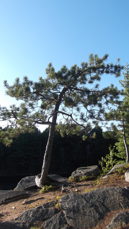
Don't get me wrong, there were plenty of areas that were quite similar to the Killarney trail, but for the most part it was not as rugged. The first hour or so of this hike is almost all up hill. So we began to realize why this trail was named the "Highland Trails".
We were surprised by how many other hikers we saw along the way, but the one thing we noticed above all was that everyone of them were happy and in good spirits. On the Killarney trail the people who were passing you were all tired and looking a little worse for wear. This made us feel hopeful about this hike being a good experience. We said hello and stopped to talk to just about every hiker we passed. Most of them gave us tips and helpful advice about what to watch out for and how much farther to certain points.
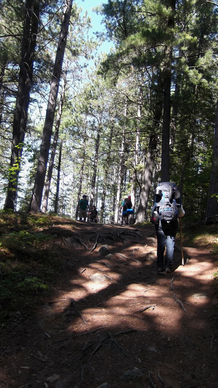
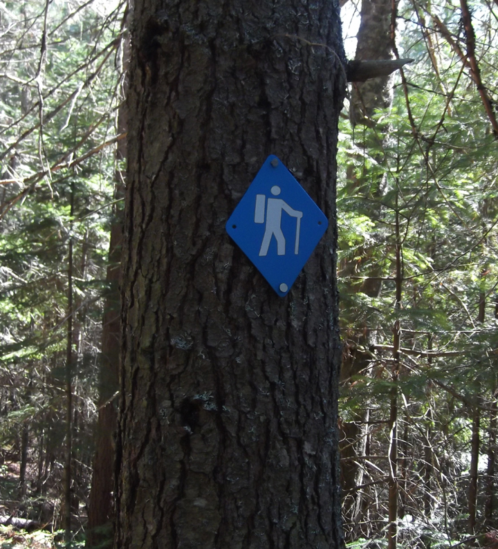
The nice thing about this trail is that for the most part (at least on the west side) the trails are very well marked. We were feeling a little uneasy about not having that map with us, but the trail markers were helping to make us feel a little bit better about it.
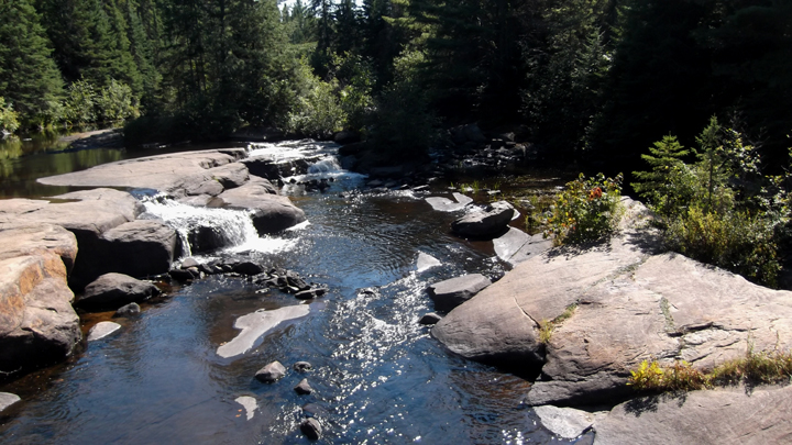
Our first goal was to make it to the "half way point" to our campsite. It was the scenic waterfalls that we were heading to. It was probably not exactly half way, but it was close enough. Here is where we would take a good long rest. After hiking for about an hour and a half we saw the bridge come into view.
And it was none too soon because we were all getting pretty tired and were definitely ready for a rest by this point.
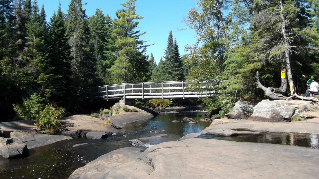
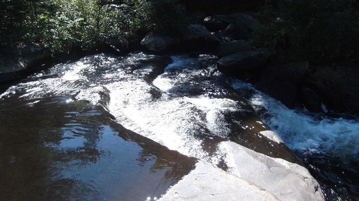
When I saw the words "scenic waterfalls" on the map I had imagined something more like Niagra Falls or some very tall waterfalls that you see in Africa or something. Instead it was just some large rock formations with water about as deep as your ankles or maybe your shins running over them.
But there was a nice little wooden bench to sit on.
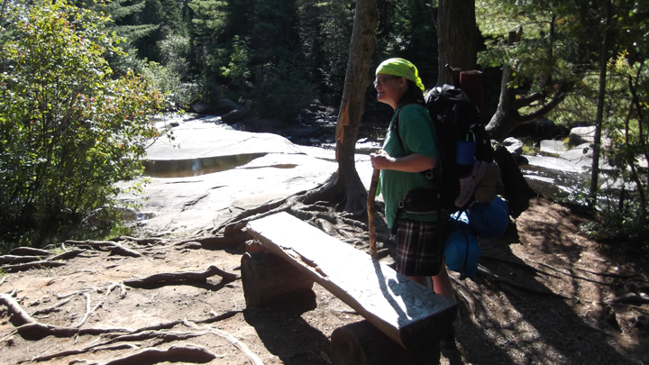
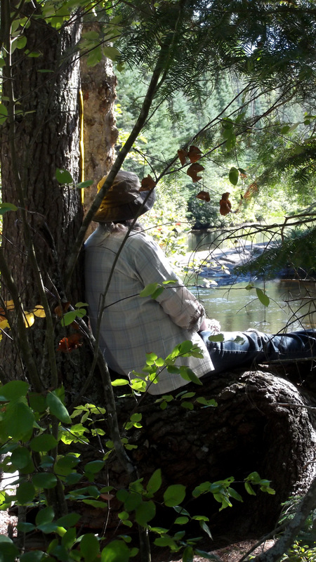
And there were trees and rock that made great make shift chairs that you could sit on to rest. It was good to have our packs off for a bit. We had some coffee and a bite to eat.
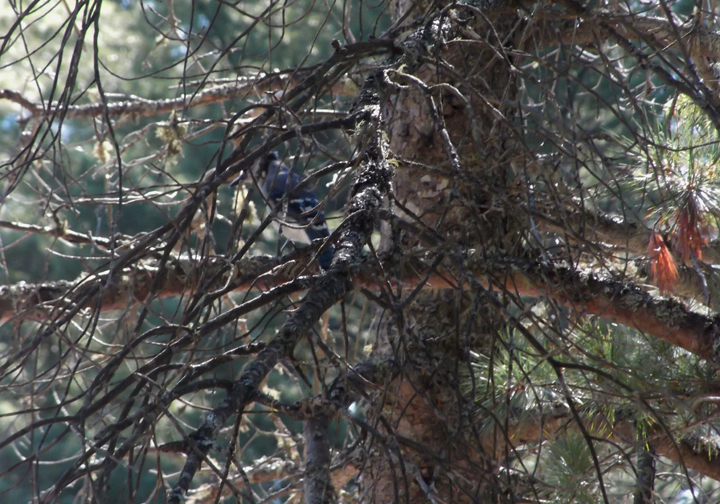
While we were here a Blue Jay came to pay us a visit.
On one side of the bridge was the start of a portage so that canoers and kayakers can go over the rocky "waterfalls" and get to the deeper waters on the other side. This spot was actually a fairly busy spot with all sorts of canoers, kayakers and hikers coming and going. Most of the hikers were just day hikers.
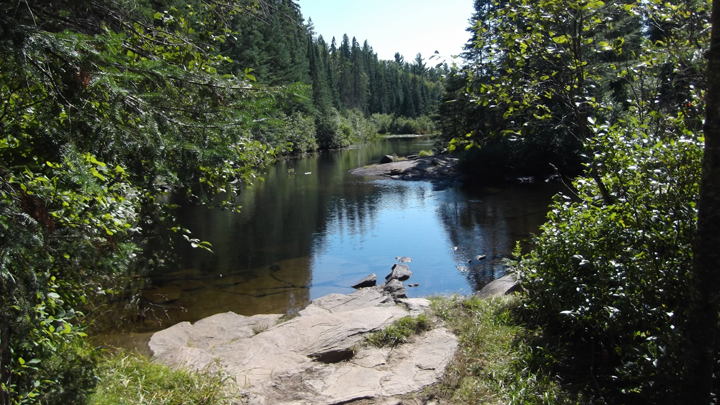
Some had arrived with the falls being their destination point and would eventually turn around and head back the way they came. But we were soon rested and fed and ready to continue on. We had been at the waterfalls for about 45 minutes and we were eager to get to our campsite. The trail now started to follow along the water ways for a short while.
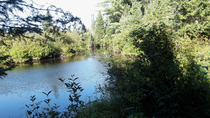
When you could see the water through the trees or when the path opened onto a clearing or two, the view was quite lovely.
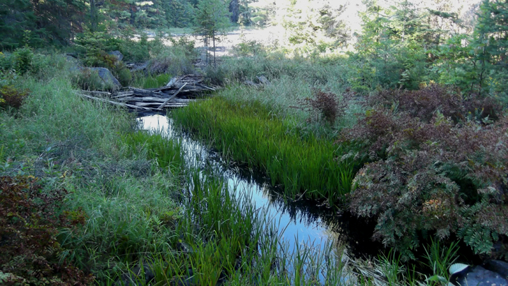
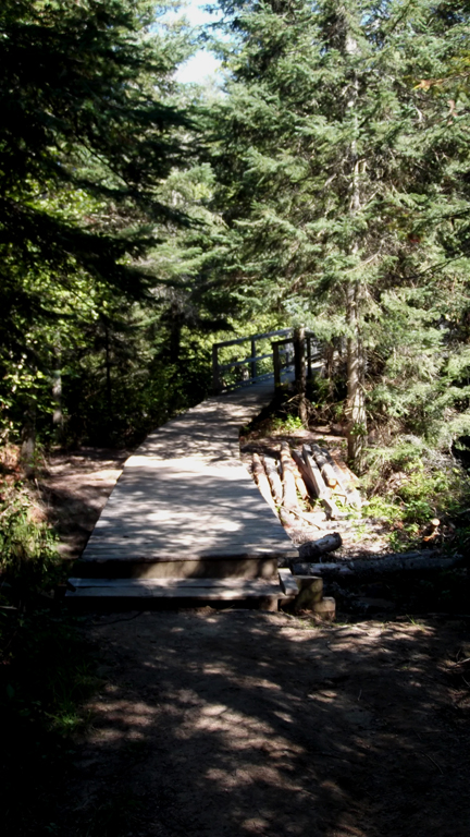
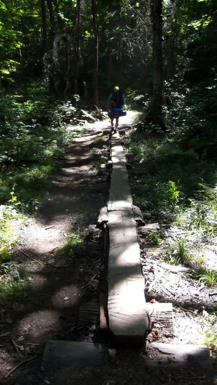
As is often the case when travelling over wet parts of a hiking trail, there were the occasional board walks to walk over. Some were not in very good condition and were starting to rot away, making them a bit dangerous.
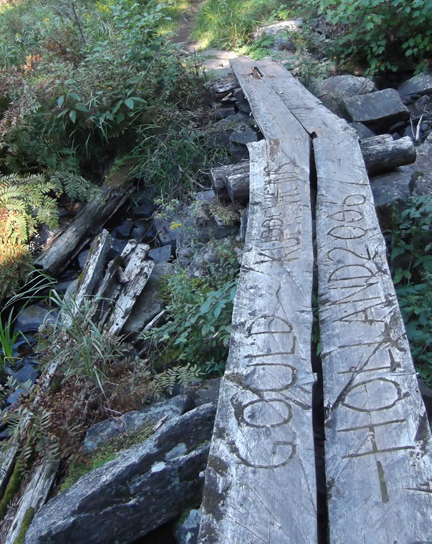
Others were well made and I was impressed with the time and effort someone had taken to make them,
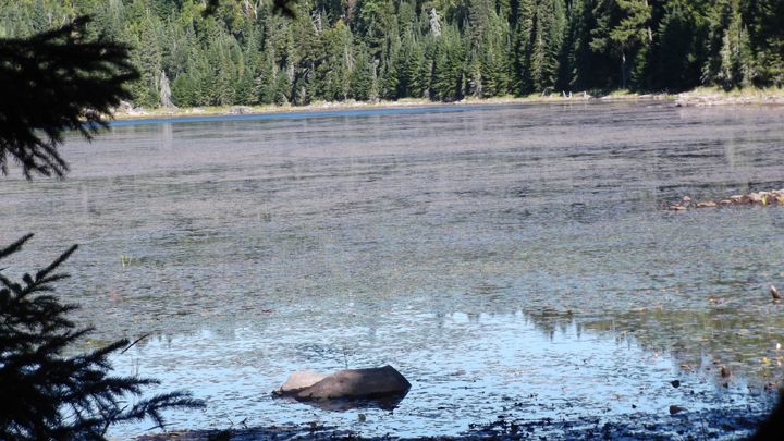
The trail led us past a small, mostly boggy, lake called "Starling Lake" before turning right and heading up a steep hill.
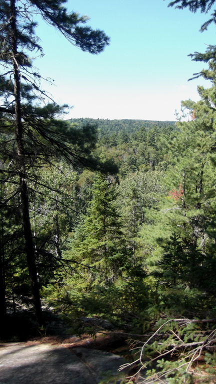
From the top of the hills you could sometimes see over long distances.
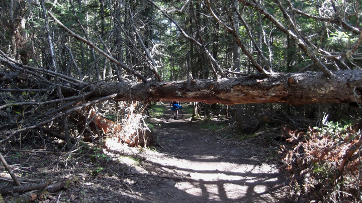
Eventually we came to a very large fallen tree across our path. This tree would be quite simple to go under if you were not wearing a very tall backpack on your back. As a result we had to do the something like the limbo to get under it. It was quite awkward but Heather and my mom had an easier time of it because they had their walking sticks to help them. Since I did not have a walking stick I had to have Heather and my mom help me get under it.
We all made it under just in time. Just up ahead were two ladies approaching us. I am sure they would have had a great laugh at us scrambling to get under the fallen tree had they have seen us at that point.
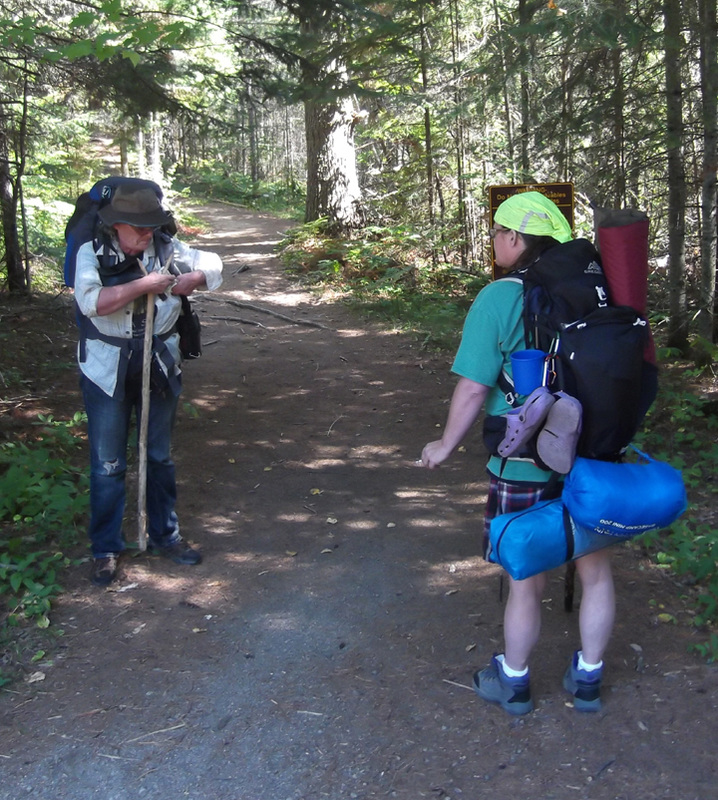
We stopped to say hello and explained that were where headed to where the start of the first loop begins and then on to the first set of campsites on the west side. These ladies had spent the day hiking the whole lake and were now on their way back out. They just happened to have a map with them and they let us take a look at it to see how much farther we had to go. We were about half way between the campsites and the waterfalls and we figured we had only about another kilometer to go. So we thanked them and continued on our way.
We all made it under just in time. Just up ahead were two ladies approaching us. I am sure they would have had a great laugh at us scrambling to get under the fallen tree had they have seen us at that point.
We stopped to say hello and explained that were where headed to where the start of the first loop begins and then on to the first set of campsites on the west side. These ladies had spent the day hiking the whole lake and were now on their way back out. They just happened to have a map with them and they let us take a look at it to see how much farther we had to go. We were about half way between the campsites and the waterfalls and we figured we had only about another kilometer to go. So we thanked them and continued on our way.
After about 20 minutes we reached the signs indicating that the first loop was just up ahead. The three of us let out a cheer not only because we made it this far, but because we knew that it wouldn't be too much longer now. We were starting to get tired. There had been a whole lot of up hills so far and our energy was starting to ebb.
About 5 minutes later we came to the actual fork in the road where you could go east or west depending on what direction of the loop you wanted to go. We had reserved 2 nights in the west end and then 2 nights in the east end. What made us happier still was that there was a little metal case hanging from the post.
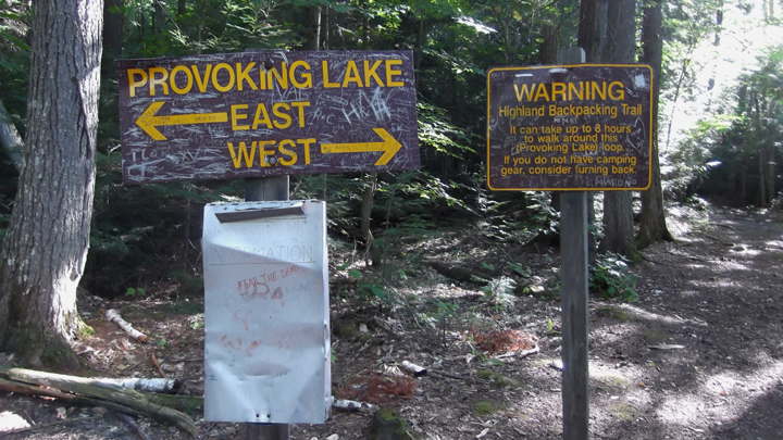
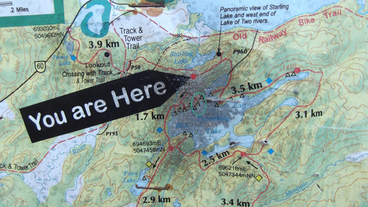
Inside that metal case was a map of the trail encased in plastic! We let out another cheer. We came up with the idea to take pictures of the map so that anytime we needed to we could just take out the camera and we would have the map at hand. How convenient!
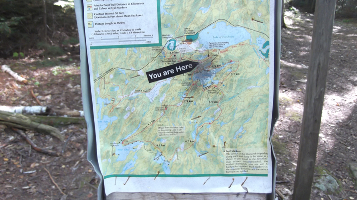
The map was a bit smudged from all the previous hikers who had used it, but we could still see what we needed to see just fine. there were 3 sets of side trails with campsites on them. Although we had reserved sites for all the nights we would be there it was not like reserving sites in a regular campground. We were not able to reserve any particular site, just a section. So basically, it was still first come first serve. We figured that we wanted the first site if it looked good. According to the reservation site we should be the only ones on any of the sites on the west side tonight so we shouldn't have any competition for a site. However, you can only reserve 6 of the 7 sites on this side of the lake and 4 of the 6 sites on the east side, so that meant that at any point a canoer or unexpected hiker could still show up on a site near by. We were aiming for the first 3 sites and were hoping that they were nice ones.
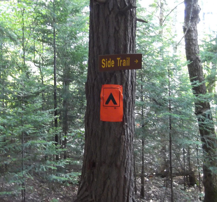
We hiked about another 15 minutes and then we saw the sign we were looking for: Side Trail. We let out another cheer! We were so close now! Just a 5 minute side trail hike and we would be there!
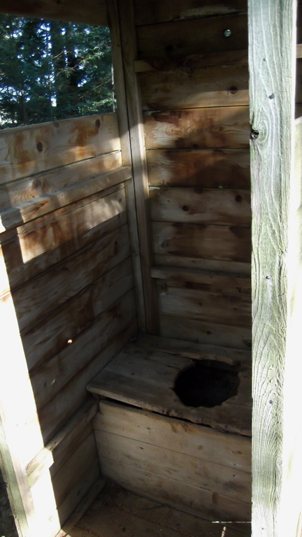
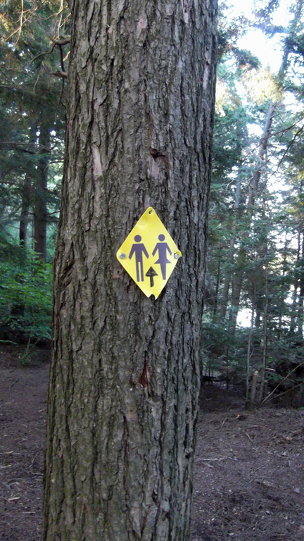
We saw one of the bathrooms before we saw the sites. We were expecting to see a boom box and not an outhouse like building for a bathroom so we were pleasantly surprised by this.
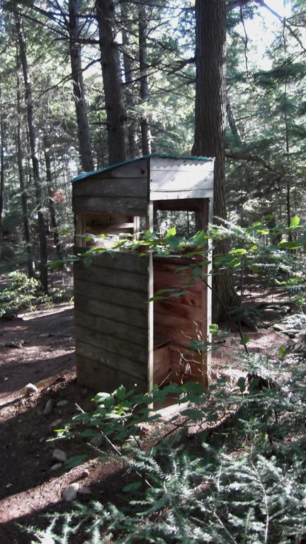
That is until we saw the condition of the seat. Anyone sitting on that would get slivers in their butt in no time!
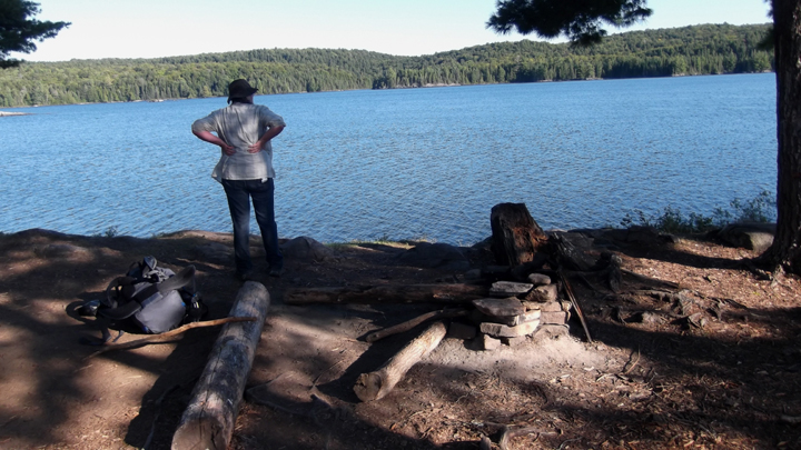
Through the woods and up over a ridge and it came into view. The first of the 3 sites. This one was not on the waters edge so we discounted it right away. The second was by the water and was very nice. It was definitely in the running. But before making our final decision we wanted to see the third one.
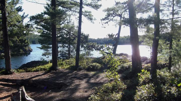
The third one was on the point and had water surrounding us on three sides. It was the most beautiful of the three sites.
It had some interesting looking trees and rocks on it. We had a winner! It was 5:20 pm and we had made it to our campsite in just under 4 hours.
So we began unpacking our backpacks.
It didn't take us long at all to get our tent set up.
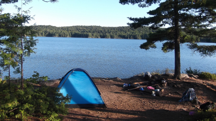
My mom got to set up her brand new tent that she got for her birthday. It was made entirely of mosquito netting with a simple fly above it in case it were to rain.
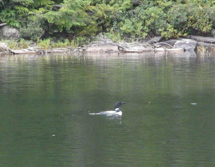
One of our first visitors to the site was a loon swimming close by the point.
After setting up our tents we took some time to survey our surroundings and explore the area.
Soon we came across the sign pointing to the bathroom.
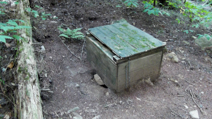
This time we found a boom box that was in much better shape than the outhouse building we had passed by earlier.
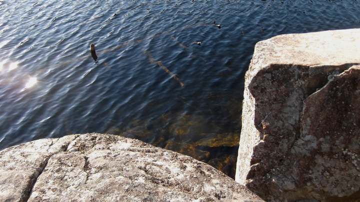
The next thing to do was to go and get water. I took the platypus down to where the rocks meet the water. There is not the best access tot he water here unless you climb over some rocks first. So I went rock climbing to where I thought an optimal spot was and held on to a large rock for support so that I wouldn't fall in. As I was getting the water I noticed a cool looking spider web on the side of the rock. Instead of being round it was in horizontal lines. It was filled with lots of tiny dead bugs. I said to myself "whatever spider lives here has got it made. This seems to be the perfect spot for a spider to catch dinner". And then I saw it.....a spider as big as half of my hand. I froze and held my breath to keep from yelling and fought my inner instincts to keep from running and toppling over the rocks in an effort to get away. I am normally fine with spiders as long as they aren't on me. I usually even go out of my way to catch them in a cup and throw them outside when I find them at home. But this one looked like something from out of a movie. I didn't even want to be close to it for fear of it jumping up and eating me in one gulp! So I held my breath and just kept saying to myself "It's OK...it's not on you. It's OK,...it's not on you". And I grabbed up the water container and moved away as quickly as I could with no sudden movements. Needless to say, the next time I needed to get water I chose a completely different place to get it. For the record, the spider did not even so much as flinch so I am sure it had no intentions of leaving it's comfy home to jump at me.... but I didn't want to find out.
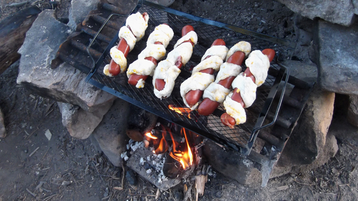
Soon enough it was time to get supper ready. On the menu was hot dogs wrapped in bannock with cheese.
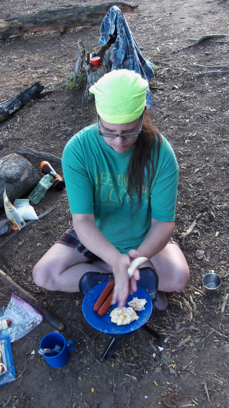
We just made spiral slits in the hot dogs and then wrapped the slits up with the bannock dough and cooked them over the fire.
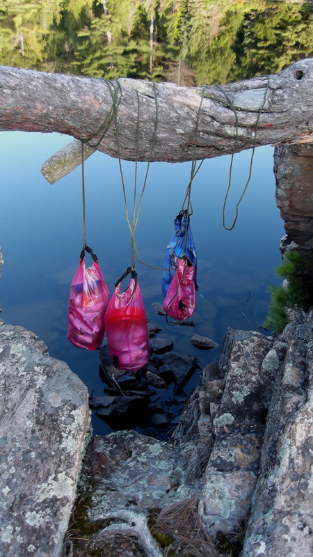
After we had cleaned up from dinner and packed all our food away, we hung the bags of food in a tree for the night to keep bears and raccoons from getting it. My mom found a tree limb hanging over the water, right above the home of the giant spider. I told my mom that perhaps the raccoons and bears wouldn't get our food but it wouldn't surprise me if that giant spider were to make off with all our food!
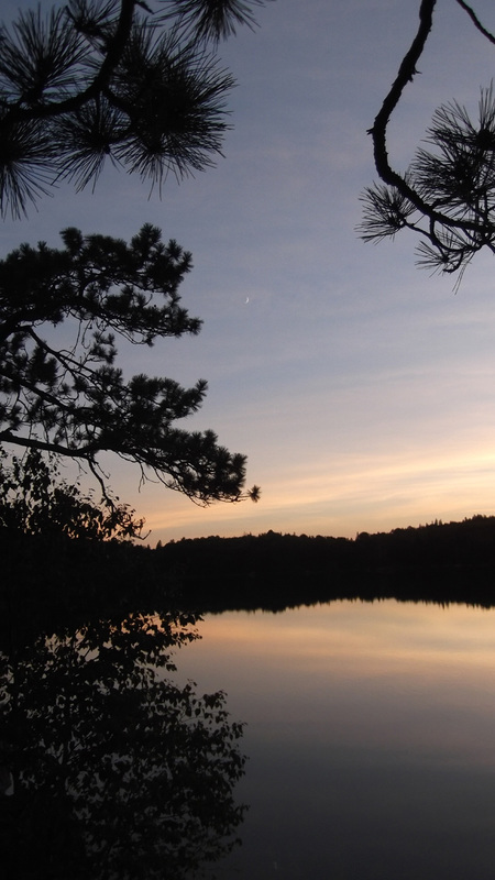
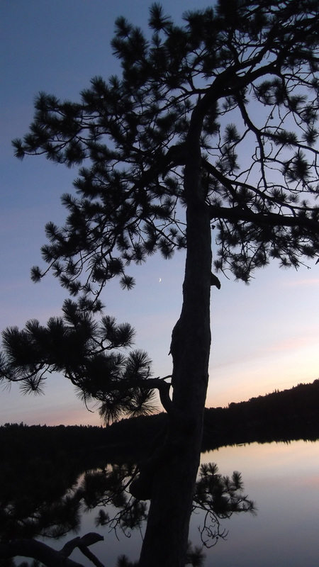
Evening began to come upon us and the sun started to set. I could hear the calls of a barred owl from across the lake. I could also hear the distant barking of dogs from another campsite on the east side of the lake.
Heather and my mom were pretty wiped out by the time the sun went down so they headed for bed. I stayed up for awhile longer to watch the fire and make sure that it went out. I sat in the dark with the flashlight off just enjoying the peacefulness of the lake.
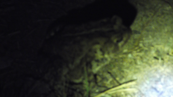
As I sat in the dark by myself, I started to hear a noise close by . I thought it might be a raccoon so I grabbed my flashlight and turned it on and shone it all around looking for the source of the noise. I looked down to find that it was just a large toad hopping around under the cover of night. I named him Harvey after the toad my grandmother used to have visiting her in her yard every summer night. I chased Harvey around for awhile with my flashlight and camera trying to get a good picture of him. Not easy to do in the dark with an unwilling participant. He did not want to be in the light. For good reason too I suppose. If the owl I had just heard saw him he would be owl dinner.
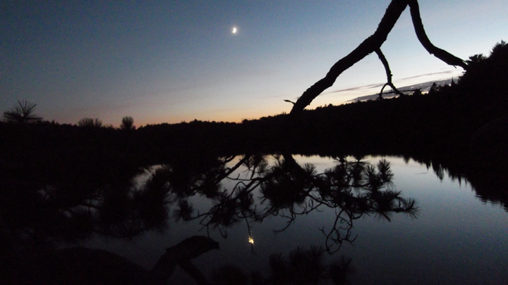
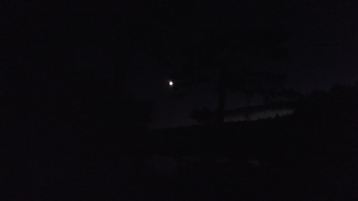
So I sat back down and turned off my flashlight and watched the moon come out. It was not long before I heard another noise coming from the shadows. Once again I grabbed my flashlight and went hunting down the source of the noise. This time it was a large frog hopping around the campsite.
No sooner than I was leaving the frog to go back to my seat by the fireplace, I heard another noise. This time it was over by a tree where our cooking rack from dinner was leaning. I thought for sure this time it was a raccoon. I shone my flashlight hoping to catch the culprit and scare it away. Instead I was met with an adorable pair of eyes on a tiny, cute, little mouse. It didn't take long to scurry away out of the beam of light I had shining on him.
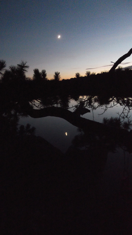
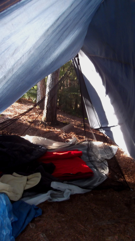
Once the fire went out it began to get a little chilly and I knew it was time for bed. It was still warm enough though to sleep with just the screen door closed. It was so nice be able to fall asleep with the moon and stars visible through our tent door. What a great way to end a great first day!
 RSS Feed