We had thunderstorms during the night but when we got up in the morning the rain had stopped. It had stayed mostly dry inside the tipi. However, it was dark and very musty smelling. It was so musty smelling that I could hardly breathe and I decided that I would stay in the big red tent tonight instead of the tipi. When I met the others for breakfast, I found that Anika had decided to sleep in the dining tent for the night because she couldn't handle sleeping in the tipi either.
The sun was starting to come out and the temperature was beginning to get pretty warm. I wanted to go on a hike at Misery Bay Provincial Park. I asked everyone else if they wanted to go but when they found out that it was an hour and a half drive away, most of them declined. Julie was the only one who wanted to go with me. It was too bad that the rest of them didn't want to come along because they certainly missed out on a wonderful experience!
The sun was starting to come out and the temperature was beginning to get pretty warm. I wanted to go on a hike at Misery Bay Provincial Park. I asked everyone else if they wanted to go but when they found out that it was an hour and a half drive away, most of them declined. Julie was the only one who wanted to go with me. It was too bad that the rest of them didn't want to come along because they certainly missed out on a wonderful experience!
The weather forecast had called for rain but we were fortunate that it was actually a beautiful sunny day. It didn't seem like such a long drive because we were talking and enjoying each others company and site seeing along the way. We used both the Waze app and Lady Google to help us find the way. Both apps brought us to a road that was actually the entrance to some private property. There was a big sign there saying something like "Entrance to Misery Bay is back on Misery Bay Road". They must have quite a number of people coming here looking for the entrance that were misdirected like we were.
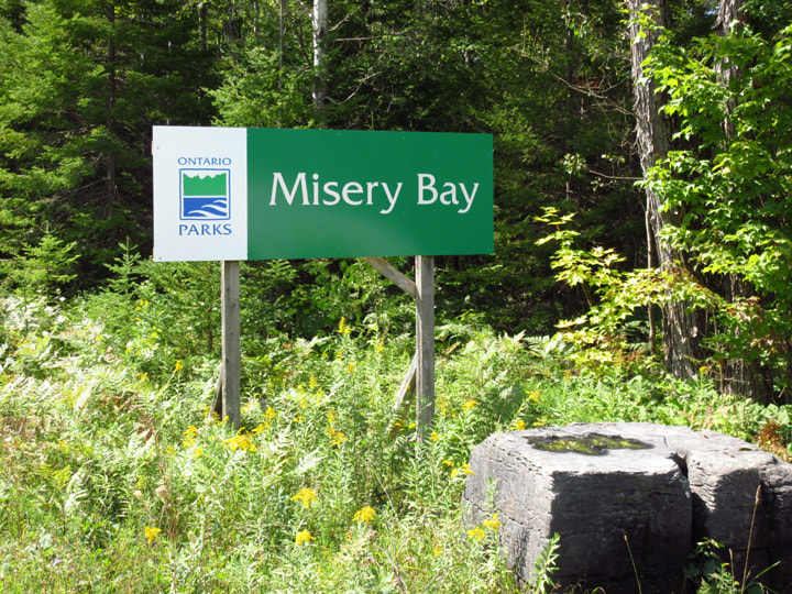
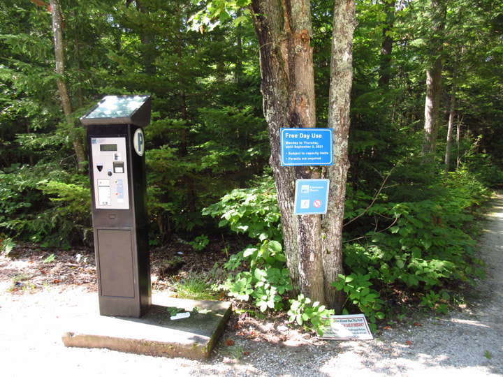
So, we back tracked a little bit (only about 2 kilometers) and sure enough we quickly and easily found the sign for the park. We arrived at about 12:55 pm. We got to the parking lot and went to get a parking permit for the car at the ticket dispenser. We were a bit taken aback by the steep prices of the parking permits. It was $12.75 regular price, $9.75 for seniors, and $6.75 for disabled parking. Luckily I kept spare change in my car and had just enough (barely) to get a parking permit.
But once we got on the trails, we found that the parking fees were totally worth it. It was honestly worth every penny!
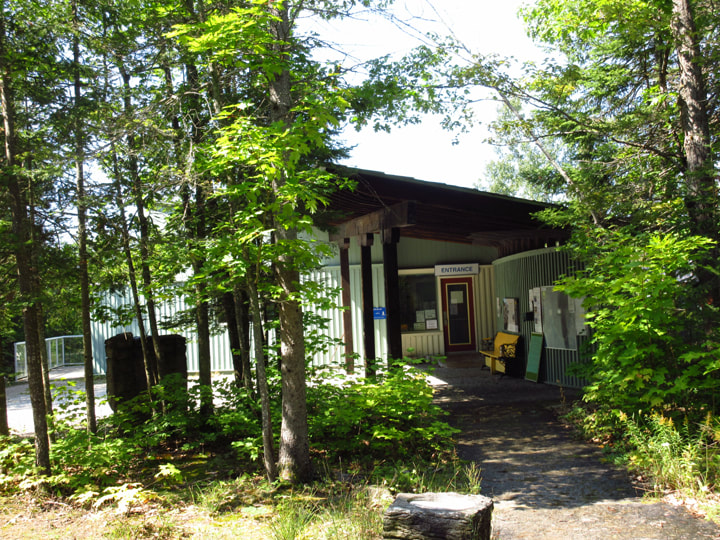
The first stop was the Visitor Center, which unfortunately was closed. However, all the information we needed was on the outside of the building anyways.
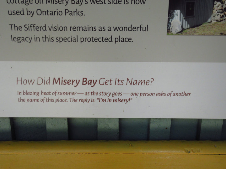
Everyone had been asking me why the park was called Misery Bay. I didn't know and had been unable to tell them. So, I was happy to see the answer on a poster outside the Visitor center. It states: "In the blazing heat of summer - as the story goes - one person asks of another the name of this place. The reply is: "I'm in misery!"
This day was actually a fairly hot day, so I was hoping that we wouldn't be finding out that Misery Bay was going to live up to its name.
This day was actually a fairly hot day, so I was hoping that we wouldn't be finding out that Misery Bay was going to live up to its name.
Attached to the wall outside the Visitor Center is a mailbox where you can pick up a copy of the trail maps.
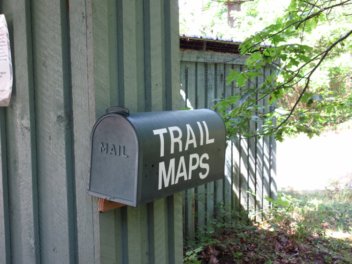
Unfortunately it was empty.
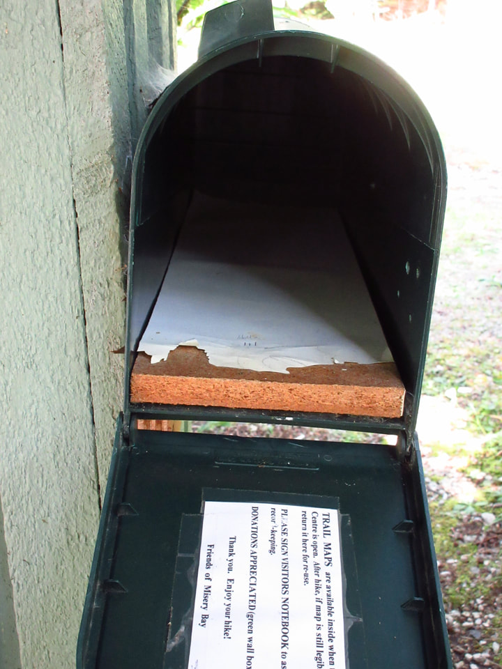
However, we did find some postcard sized maps in a brochure display nearby , so we took one of those with us.
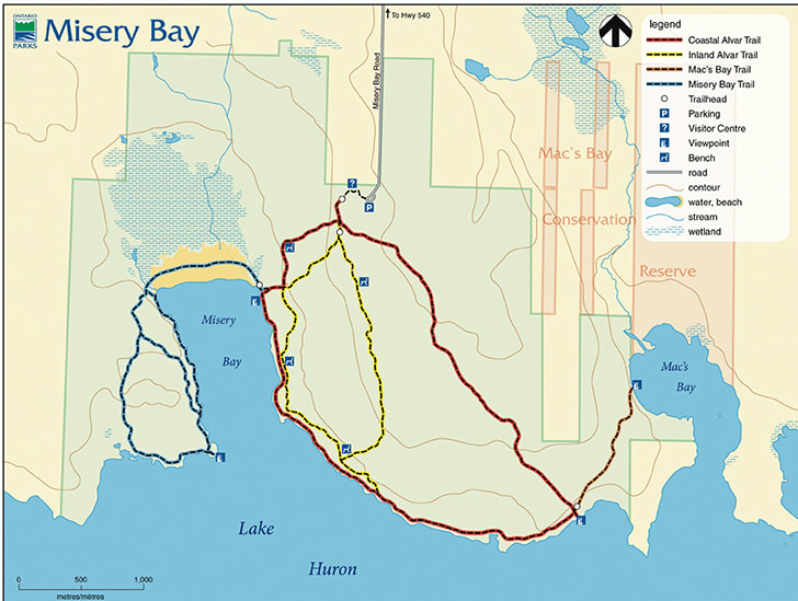
When I was doing my research online before the trip, I had decided that I wanted to hike the Misery bay Trail (the blue trail). However, a sign posted at the Visitor Center stated that the blue trail was closed due to high levels of water and flooding. I was a bit disappointed by this but we chose an alternate route instead. we decided that doing the entire red trail was probably too long, but we also wanted to walk the trail that was close to the lake. So, we opted to do a bit of both the red and the yellow trail. We decided to walk down the yellow trail to the shore and then switch to the red and head back up (to the left) on the red trail.
When I was doing my research online before the trip, I had decided that I wanted to hike the Misery bay Trail (the blue trail). However, a sign posted at the Visitor Center stated that the blue trail was closed due to high levels of water and flooding. I was a bit disappointed by this but we chose an alternate route instead. we decided that doing the entire red trail was probably too long, but we also wanted to walk the trail that was close to the lake. So, we opted to do a bit of both the red and the yellow trail. We decided to walk down the yellow trail to the shore and then switch to the red and head back up (to the left) on the red trail.
To get to the trail head you have to go around to the back of the Visitor Center. There was a balcony and picnic tables where you could sit and relax.
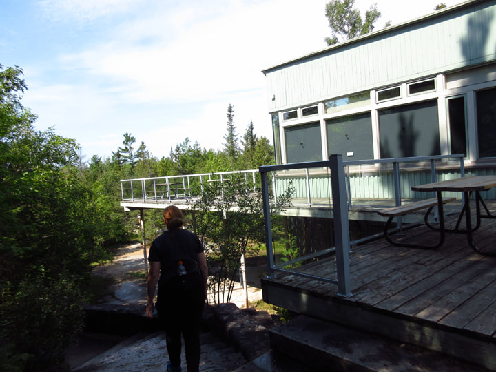
The support beams under the building each had an educational sign on them with information about the rock formations and glacier evidence in the area.
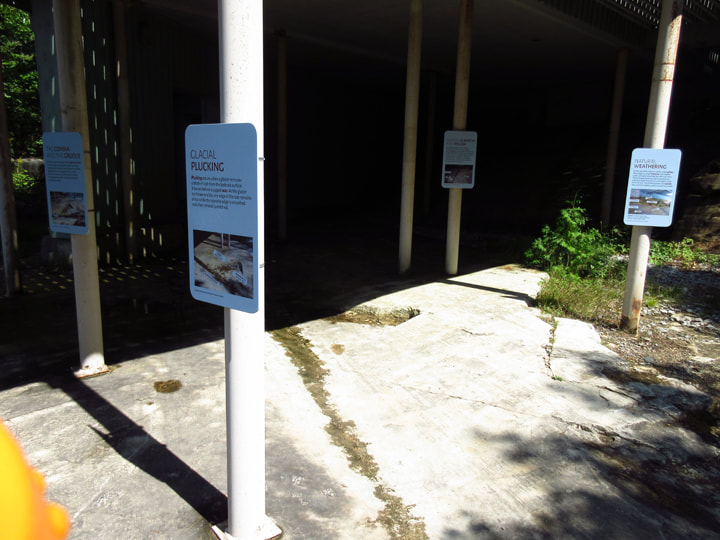
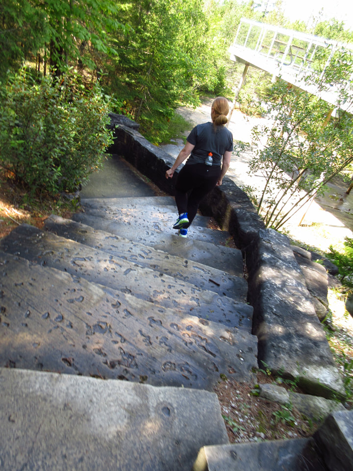
We went down some stone stairs and came to the beginning of the trail head for the Coastal Alvar Trail (the red trail). All the trails start from this trail and then branch out.
 | 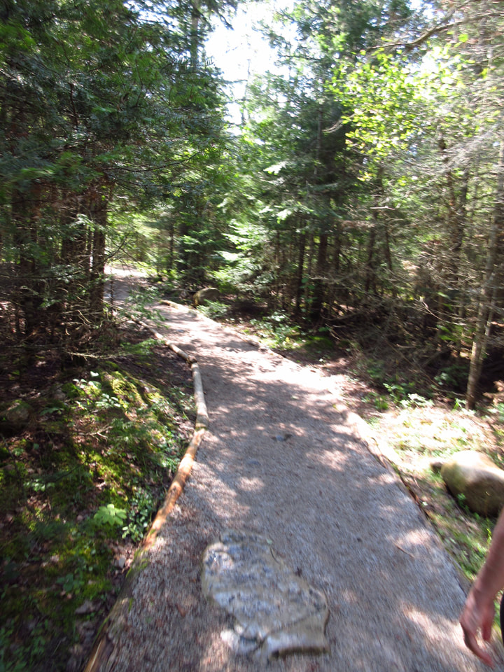 |
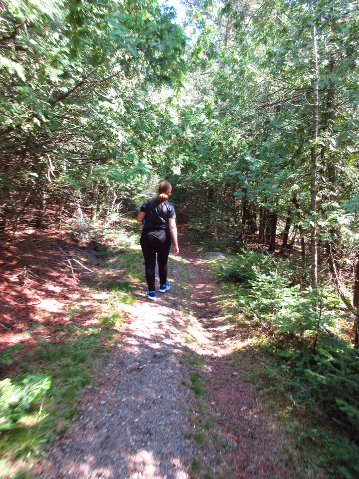
The trail was wide and flat and bordered by beautiful trees. We had hardly begun and already I was thinking how lovely the trail was.
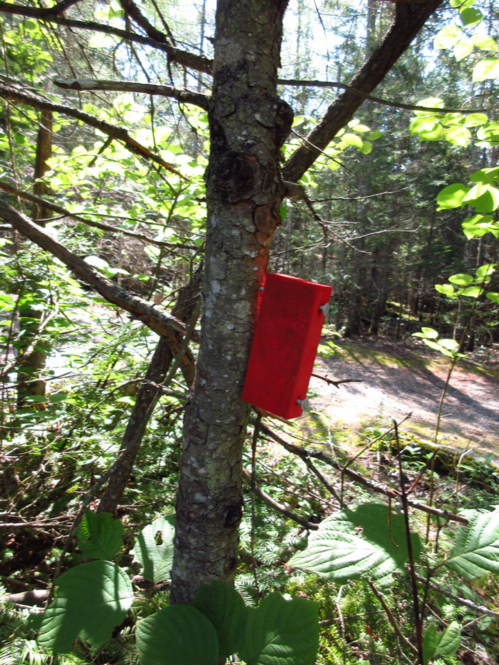
The trail marker was a block of wood painted red. It was different from any other trail marker I had seen before.
We hadn't gone far when we came to a cross road. there was a post with different coloured markers indicating which way to go.
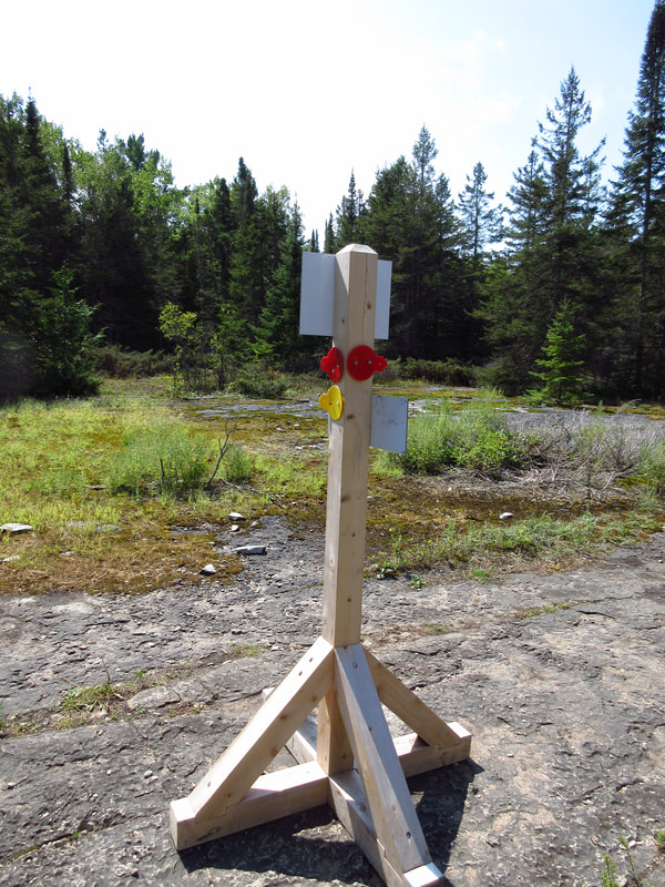
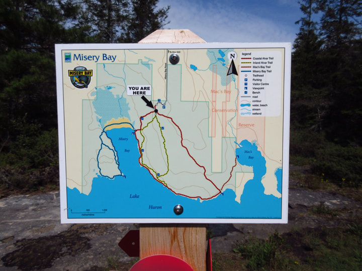
There was also a "You Are Here" sign. Julie and I studied the map and found the yellow marker and went in that direction.
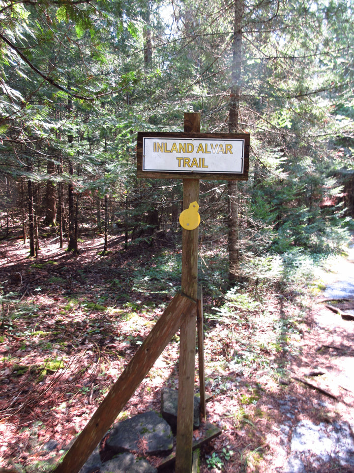
We were assured that we were going in the right direction when we came to the yellow sign indicating that we were on the Inland Alvar Trail.
Some parts of the trail were mossy and open, with low growing shrubs.
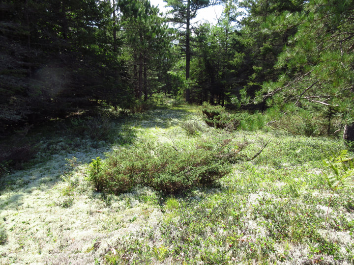
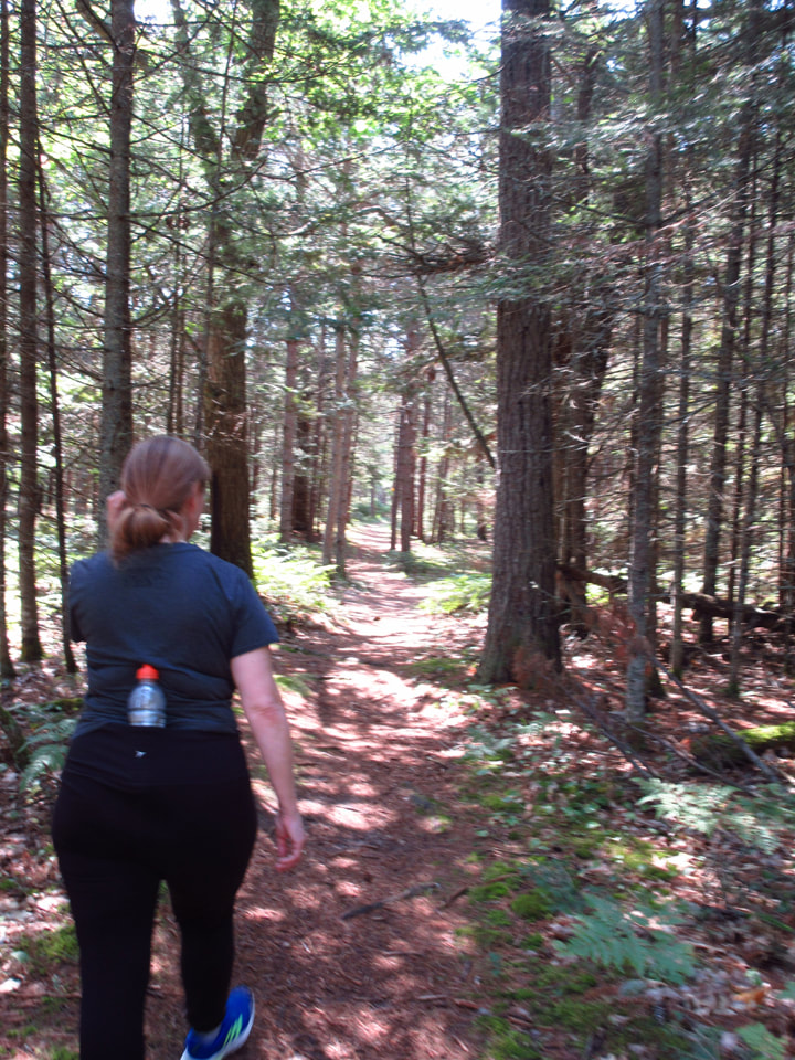
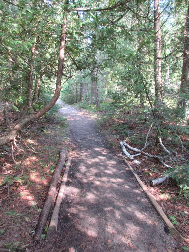
Other parts went through treed areas. No matter where we went, the trail was flat and open and easy to travel on. The sun shone through the trees and dappled the ground with shadows. It was beautiful and peaceful. If it wasn't for all the cars in the parking lot that we had seen, it could almost seem as though we were the only ones in the park.
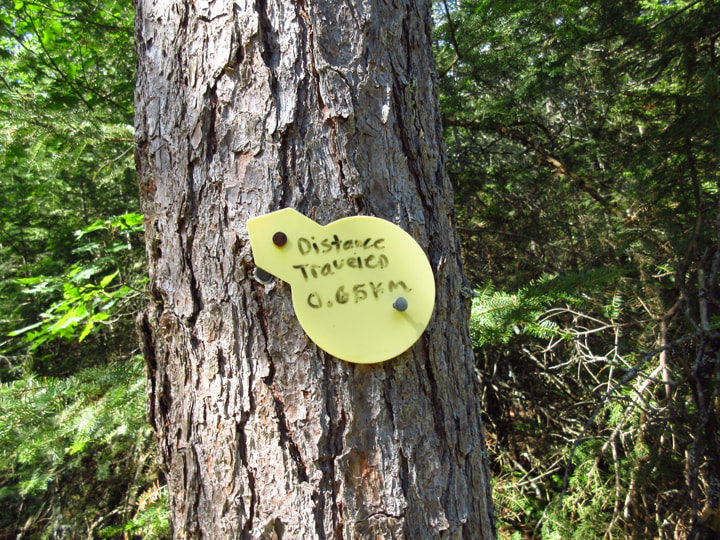
From time to time we would come across some yellow markers that had the distance that we had traveled written on them in black sharpie.
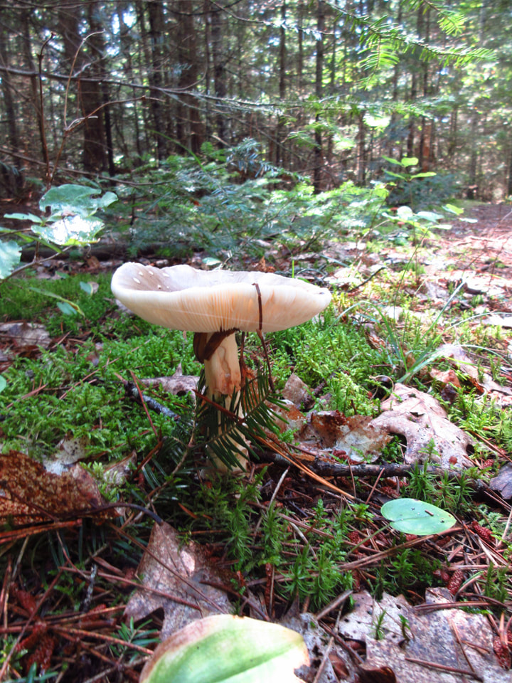
There was plenty to see. Even the mushrooms seemed beautiful to me. And best of all, there were zero mosquitoes or deerflies.
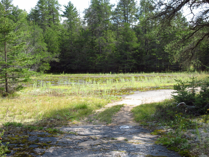
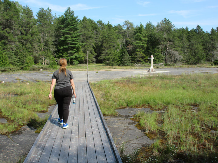
After trekking through the wooded trails, the landscape started to change. We could see a big clearing coming up in front of us.
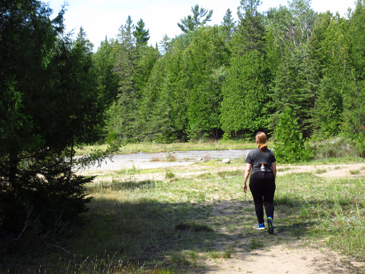
But we were not expecting this! It was a massively huge flat area of nothing but rock. It was amazing! It reminded me of something out of a movie . It was like we were at the cross roads in the netherworld between heaven and the underworld. I had never seen anything quite like it before.
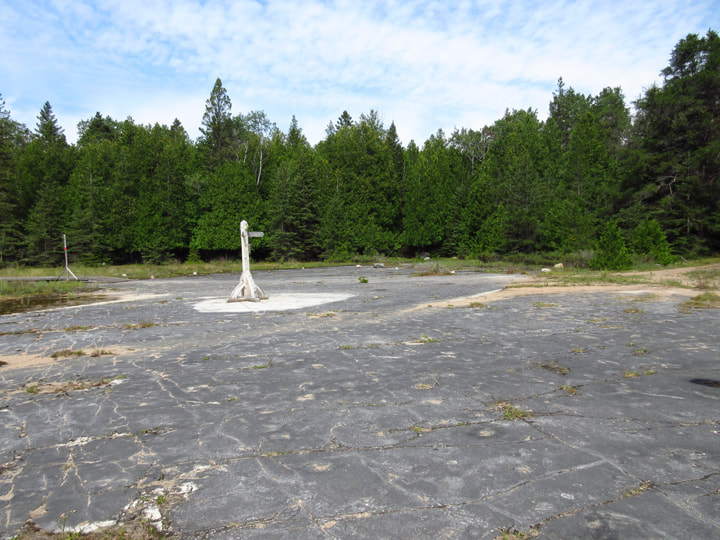
Right in the center of this big expanse was another directional post and another You Are Here sign.
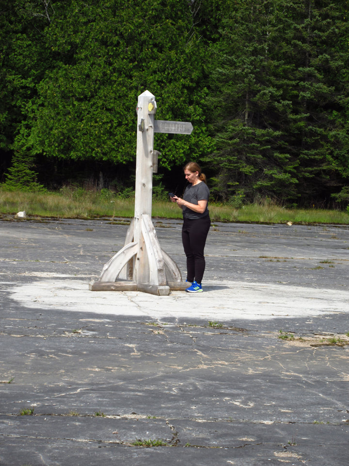
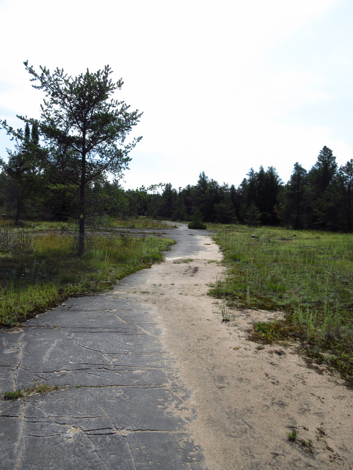
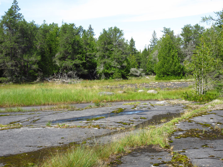
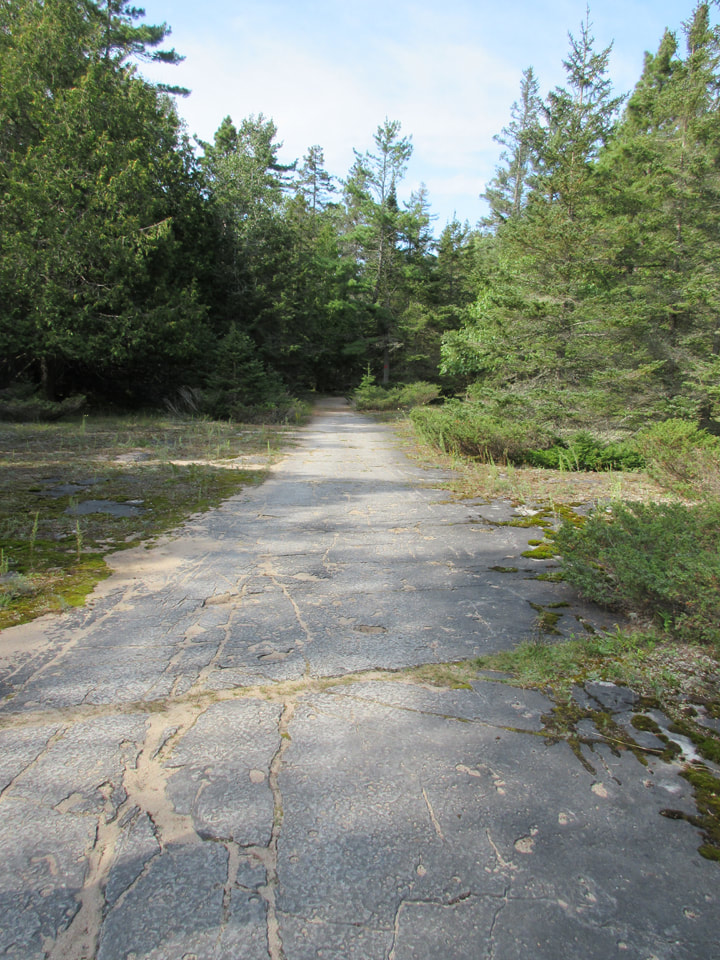
We figured out which way to go and continued on our way. A long, flat, stone path stretched out in front of us. I was amazed that the whole trail so far had been made up almost entirely of this flat stone. It was like God had decided to pave this little heavenly roadway.
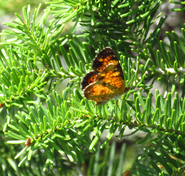
In the pine trees some Northern Crescent butterflies were flitting from branch to branch.
The ground was so flat everywhere that there were some places that caused optical illusions. I could have sworn that just as the trail was curving to the right, the spot in front of me was a marsh land with water. This could be in part because I thought I could hear what sounded like a waterfall up ahead.
But as we got closer we found that the marsh was just a mirage. It was nothing but more flat rock. This happened more than once.
We were just about to pass by an area that looked like another mirage when we notice something a little different about this area. There seemed to be a lot of stones gathered here all in one area. We decided to go and take a closer look.
We were just about to pass by an area that looked like another mirage when we notice something a little different about this area. There seemed to be a lot of stones gathered here all in one area. We decided to go and take a closer look.
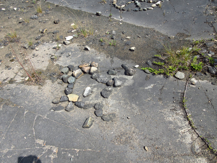
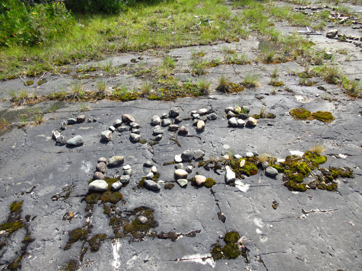
Once again this trail had something to amaze us. People had taken a bunch of rocks and had arranged them to spell out words. We tried to read the first one but we didn't know what it said.
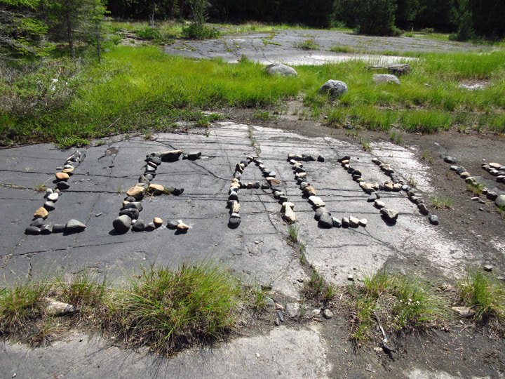
The more we looked the more of these stone formations we saw. They were everywhere! It was a huge area just filled with these stones.
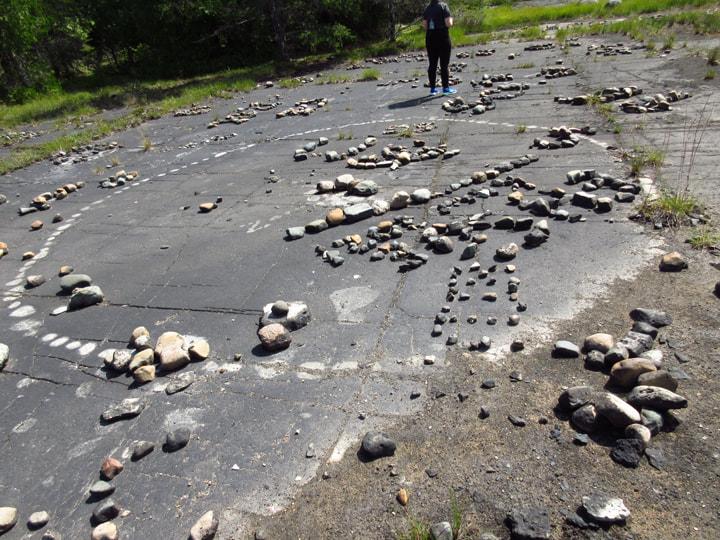
As we looked closer we realized that it wasn't just words spelled out with the stones, but it was symbols too. And in some places, there were white marks on the ground where it looked like there once was more stones but they had been removed at some point.
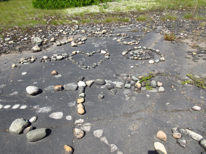
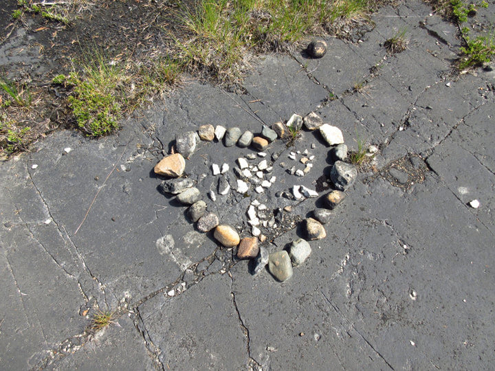 Among the symbols were a heart, some swirls, one that looked like a little man, and one that looked like a turtle. There was one set of words that we could make out. It said "Carpe Diem". There were others that just seemed to be people's names. This area must look amazing from an airplane! | 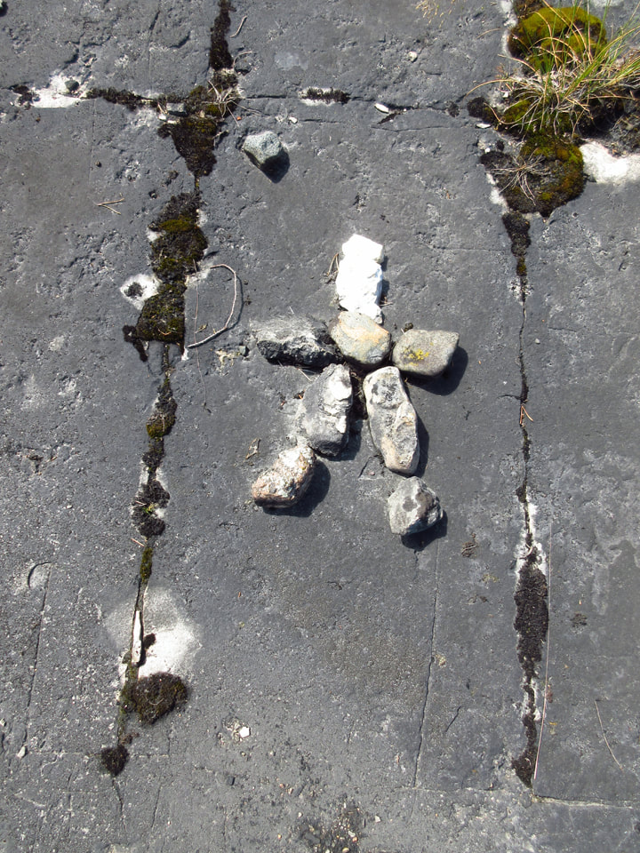 |
 |  |
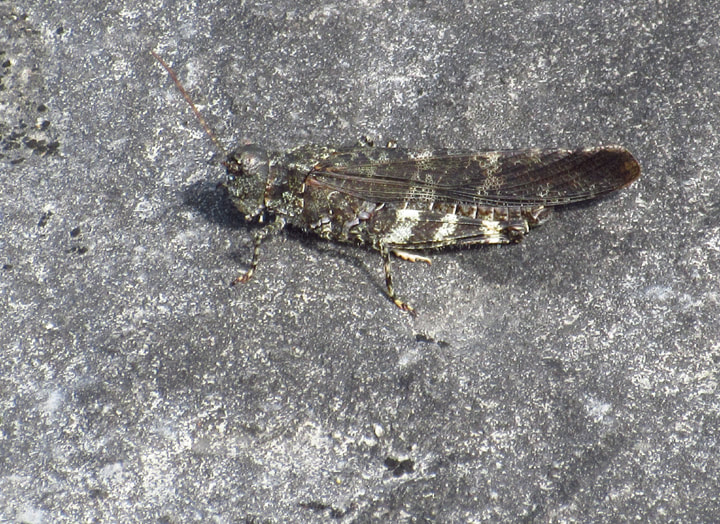
i spotted a Crackling Forest Grasshopper trying to blend in with the pattern of the rock around him.
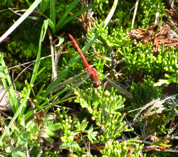
A White-faced Meadowhawk dragonfly also made an appearance.
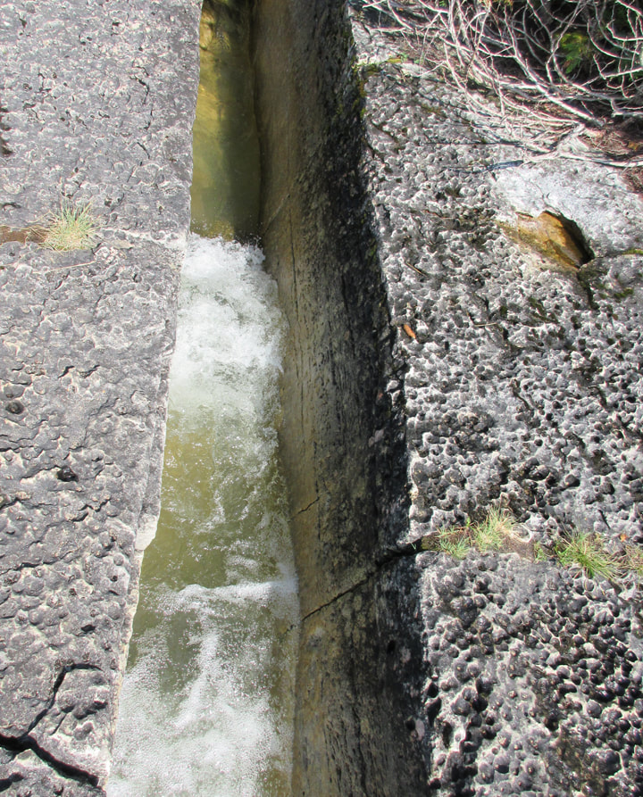
As we walked along, we could hear the waterfall getting louder and louder. The stone beneath our feet started to change.
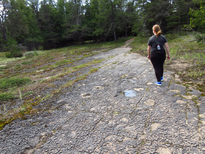
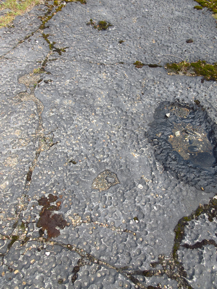
It was still flat, but now it was also pock marked.
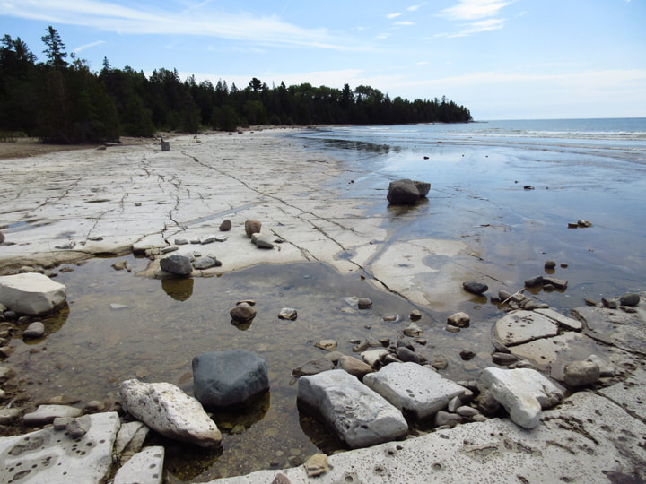
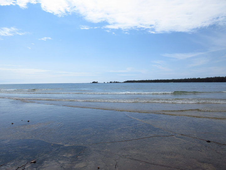
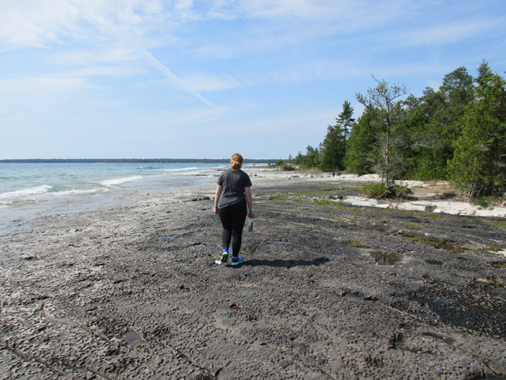
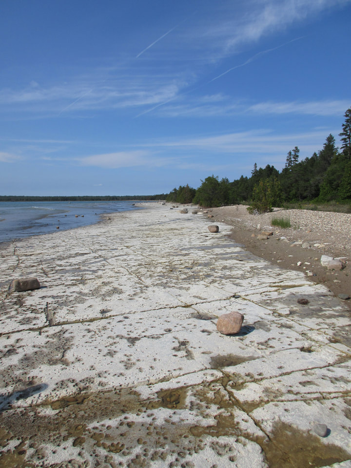
Soon we came to another open area. But this time the open area was the shores of Lake Huron.
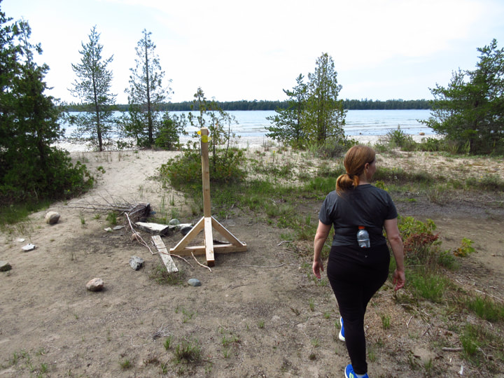
The sounds we heard were not the sounds of a waterfall. They were the sounds of the constant rush of waves crashing on the shore.
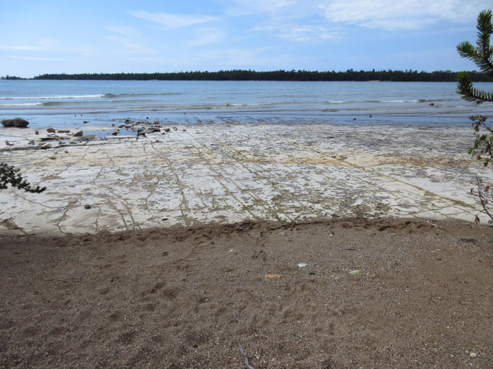
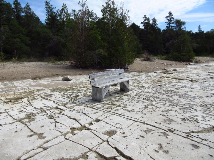
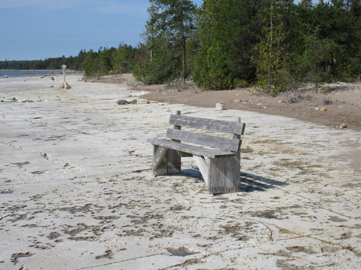
And oh what a shore it was! Instead of beach sand as one might expect, the whole shoreline was one big, continuous slab of stone as far as the eye could see. It was fantastic!
And right in the middle of it all was a bench. It was the perfect place for a bench. Who wouldn't want to sit down and drink all of this in?
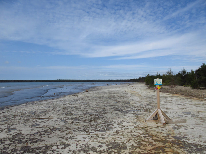
Even here on the shoreline of the beach we found a post with a You Are Here sign on it.
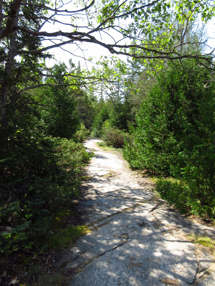
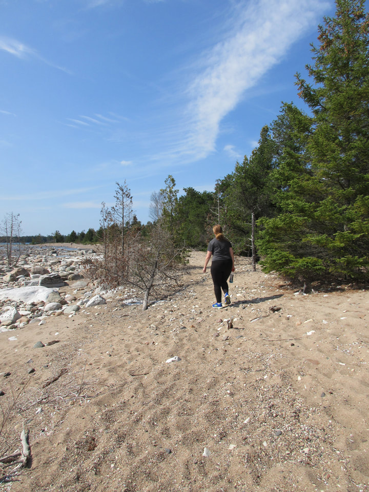
We followed the yellow trail some more, which led us down a sandy path. We were still near the lake, but we weren't as close to it as we were before.
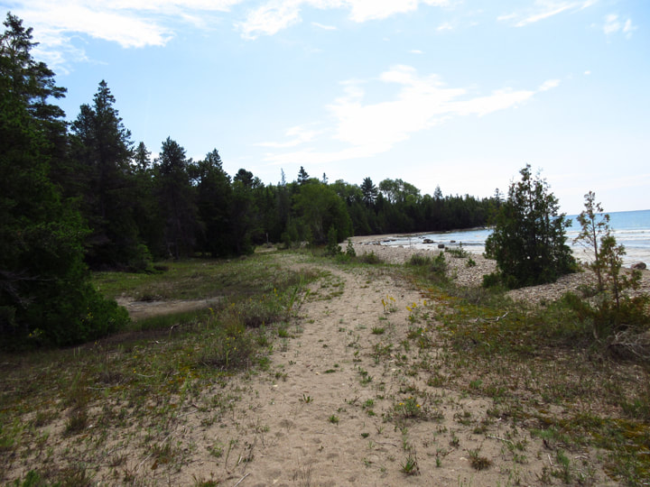
The trail led us back towards the tree line again.
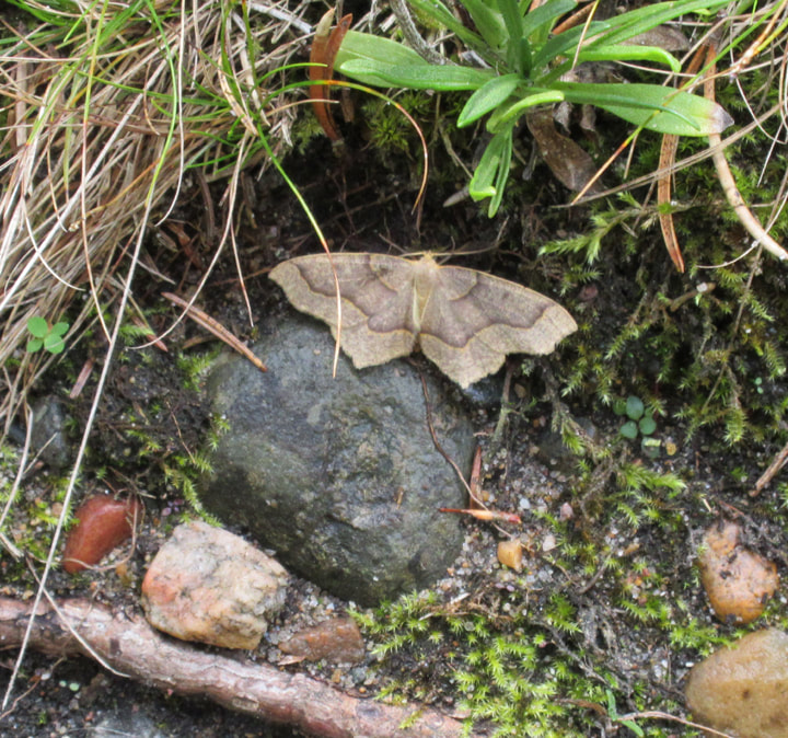
I spotted a Hemlock Looper Moth resting on the ground.
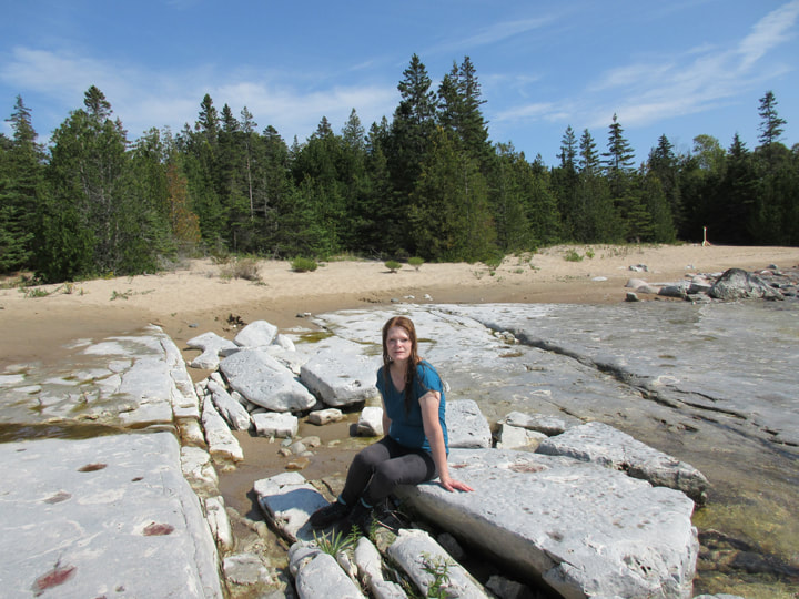
We passed through a wide open area full of large boulders. It was like a boulder garden.
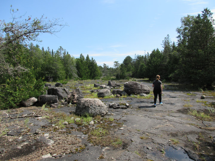
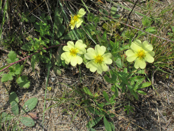
But there were flowers in this boulder garden too. Namely these yellow Sulphur Cinquefoil flowers.
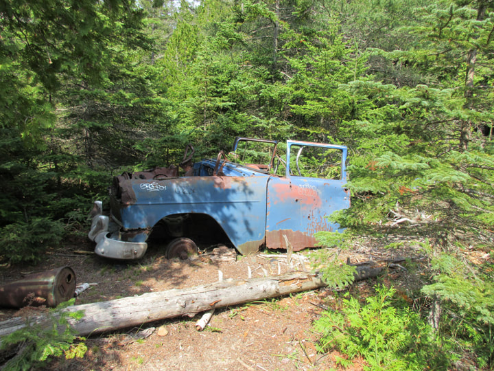
Oddly there was the remains of an old vehicle rotting away in the woods at the side of the trail. I wonder how it got there, because there were no roads in the area. Perhaps there was at one point. It looked very out of place sitting here amongst the beauty of the surrounding nature.
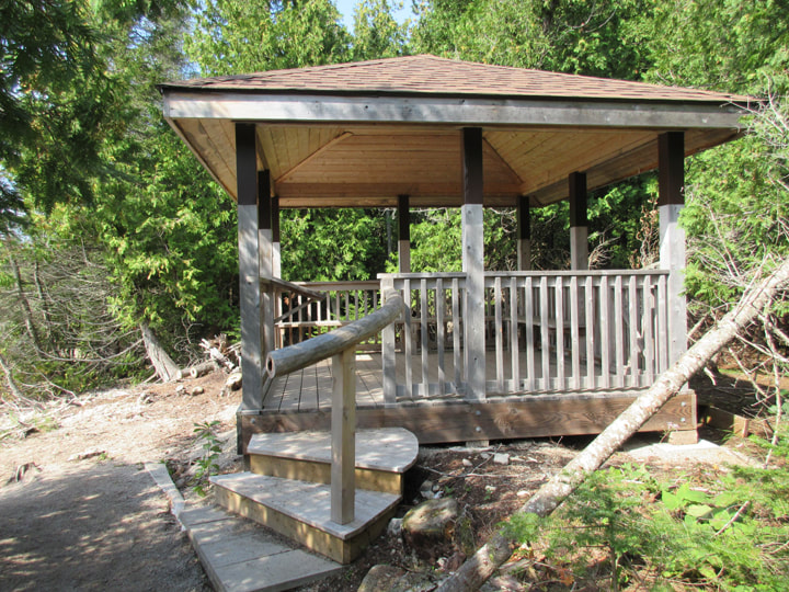
Soon we came back to the beach and we spotted a gazebo. This would be a great place for a picnic!
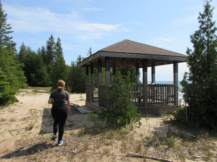
The gazebo was called "Shelter At Saunder's Cove". By now the sun was high in the sky and it was very hot out. We were grateful for the shade that it afforded us.
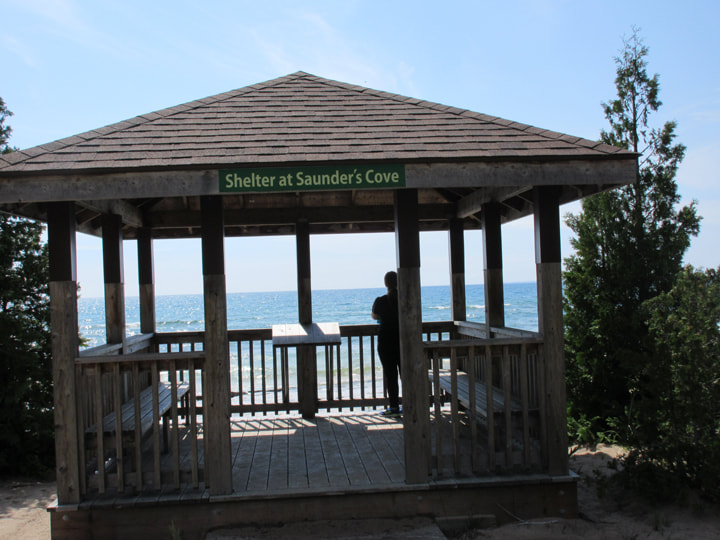
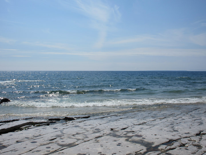
And the view of Lake Huron from the gazebo was just beautiful!
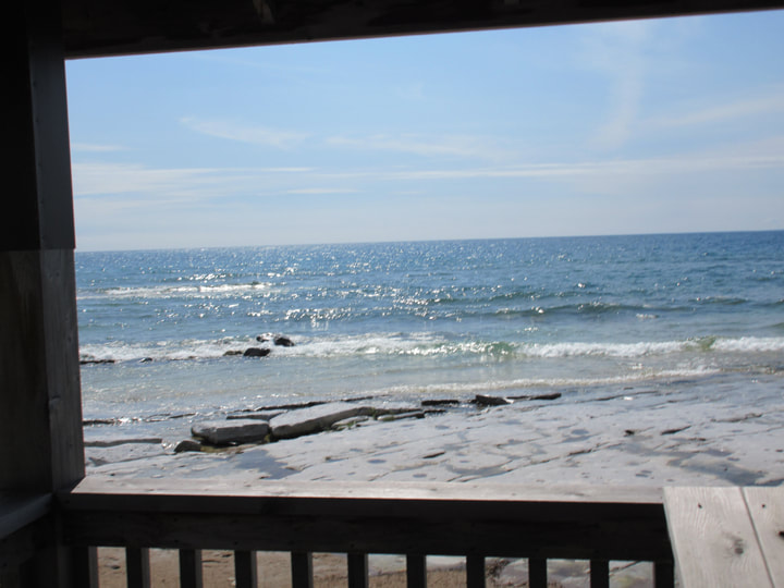
The waves were crashing up onto the shore. I couldn't get over how the shore line was made up of flat rock that just continued on and on into the water and who knows how far into the middle of the lake.
The waves were crashing and the sun was hot. It was the perfect time and place for a swim.
We had no bathing suits with us, so I decided to just go in with my clothes on. Julie just rolled up her pant legs and waded in up to her knees. But not me! I went all the way in. The flat rock beneath my feet was a bit slippery, but not slimy. The waves were strong enough to knock me over sometimes. At one point I fell over and water got up my nose. I laughed and I laughed. I kept slipping and had a hard time getting up again because I was laughing so much. And Julie was laughing at me too!
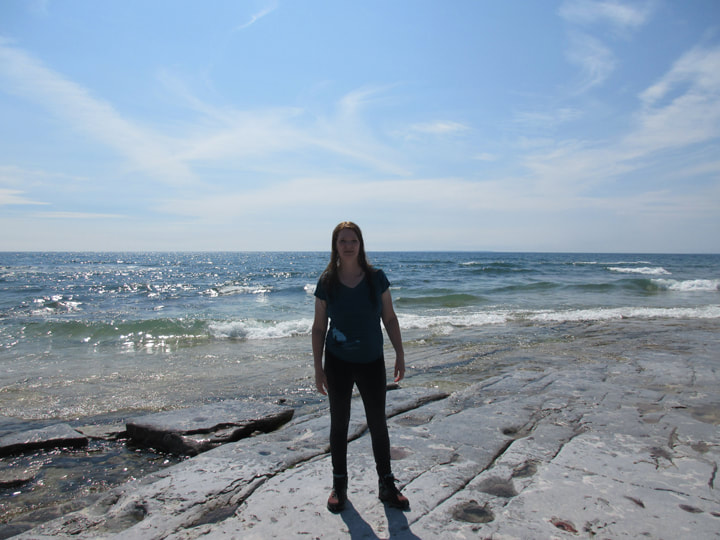
I got out of the water with my clothes dripping wet and no towel. But it was so hot out that I didn't really need a towel. My clothes dried pretty quickly as we started back on our hike again. I told Julie that the whole thing brought back some wonderful childhood memories of swimming with my siblings in the waves of Lake Ontario when our family would go to Presqu'ile Provincial Park in the summers.
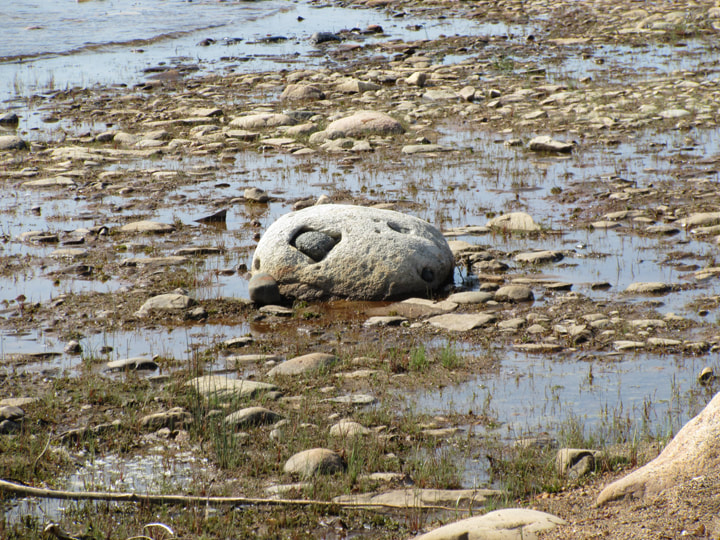
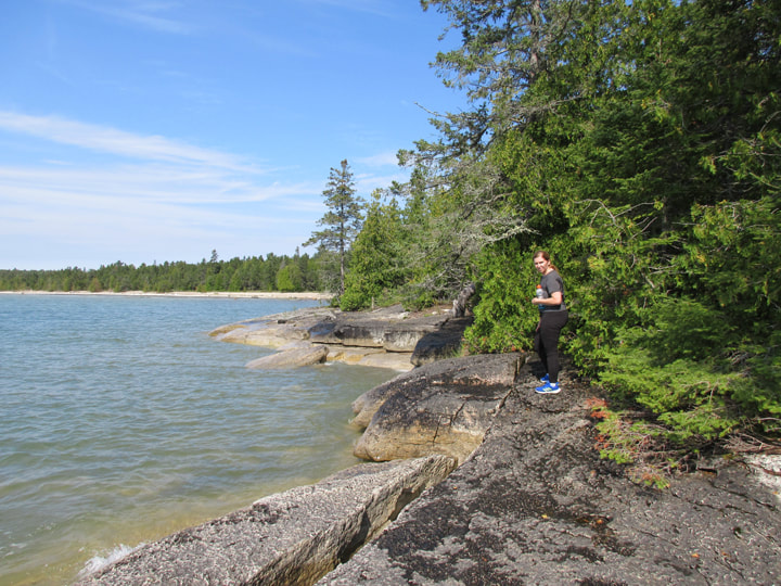
We were past the half way mark now and we were headed back on the red "Coastal Alvar Trail". This part of the trail was basically a walk along the shoreline for the most part.
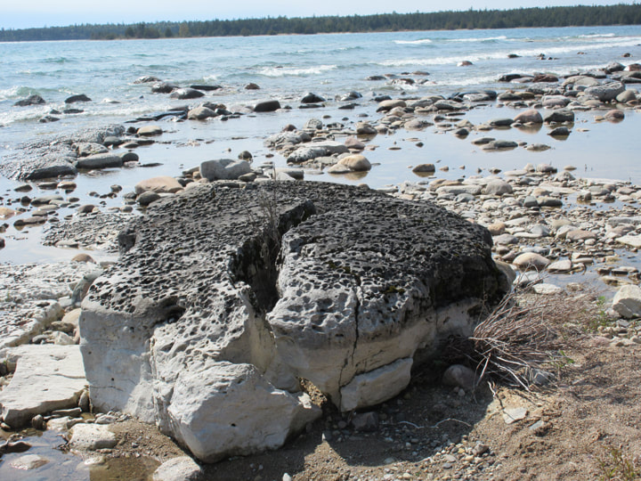
But with the unusual terrain, it was unlike any shoreline I had ever walked along before. The pock marked stone had water filled basins where the waves had eroded the stone, making it smooth and unique in shape.
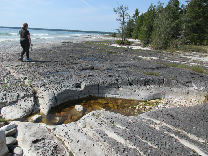
Some places were round, while others looked like someone had taken a giant knife and cut the stone into squares and rectangles.
The shoreline was practically barren, and yet it was beautiful.
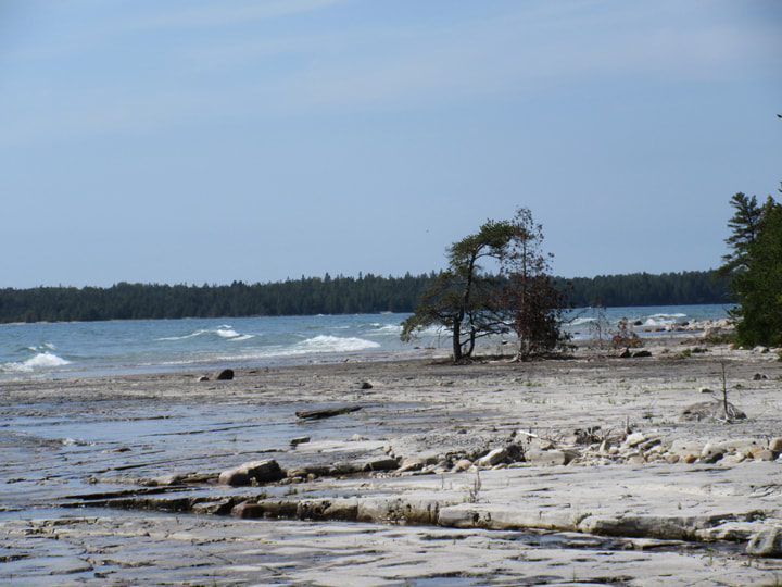
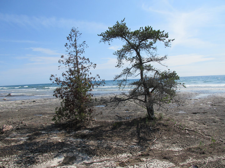
A couple of lonely trees were adamant that they were going to live here. And so, they stood out on the rocks away from the comfort of the rest of the trees. These two trees were resilient.
We came across another bench where you could sit and look at the lake. The shoreline was quite long so the strategically placed benches were a nice touch for those that may have needed a rest.
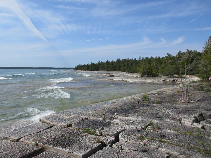
Eventually the flat rock surface turned into more of a boulder covered one.
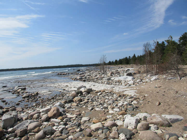
The landscape was ever changing as we passed by one rock formation and then another.
 |  |
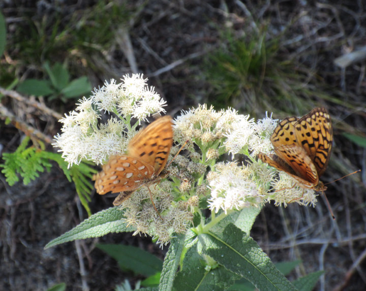
Along the boulder strewn path, we came to a section that actually had some beach sand.
There were pairs of Aphrodite Fritillary butterflies, chasing each other around and feeding off of the white flowering plants growing near by.
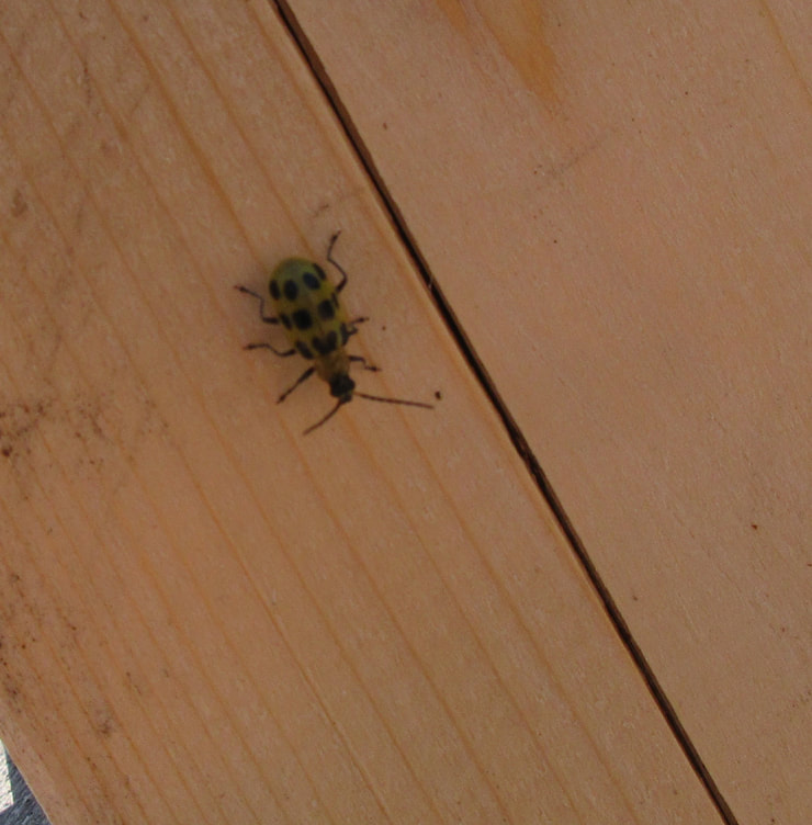
Julie and I found a spotted bug. At first we thought that it may be a lady bug. Turns out that it is a Spotted Cucumber Beetle. We had a hard time getting a picture of this little guy because he did not want to sit still for us.,
The flat stone stretched out in front of us and it almost took on the shape of a road.
There was one place where we weren't sure if we were on the trail anymore. We kind of lost sight of it and it wasn't well marked at that part. We decided to continue to hug the shoreline. There were some spots where there wasn't a lot of room for us to walk, and we had to carefully pick our way around the trees and hope not to fall into the lake.
Water from the waves splashed in the large cracks between the rocks.
Up ahead, in the distance, we could see people wading out in the water. We could see the sandy beach behind them that was marked on the postcard sized map we were carrying. We knew that we were getting closer to the end of the trail. But we weren't finished yet.
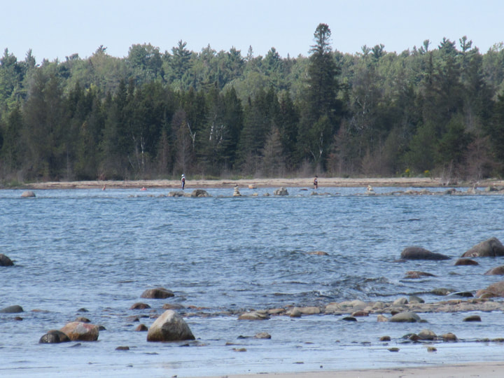
When we got to where the people were, we found that there was another gazebo there. I think it is marked as a "Look out" on the map though.
From the point of the gazebo, the trail starts to turn back into the tree line again and back towards the visitor center.
Again we found ourselves at the the great crossroads on the plains of nowhere land. (yeah, I made that name up! Lol!)
The cedar trees turned into pine trees and the forest got a little thicker. But the trail was still nice and flat and easy going, right to the very end.
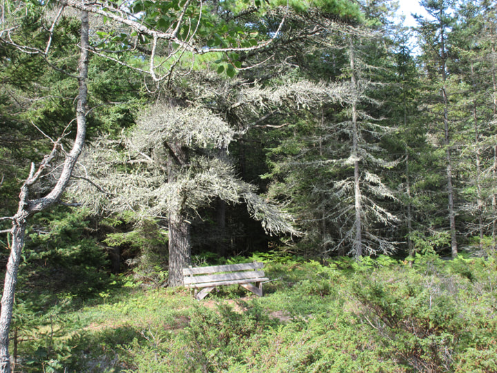
We passed on last bench on our way back to the Visitor Center. It was situated just off a little ways on a side trail, under a big pine tree.
And with that, we were done our hike. It was 4:15 pm and we could hear thunder in the distance and the sky was starting to turn grey. We had finished just in time.
And with that, we were done our hike. It was 4:15 pm and we could hear thunder in the distance and the sky was starting to turn grey. We had finished just in time.
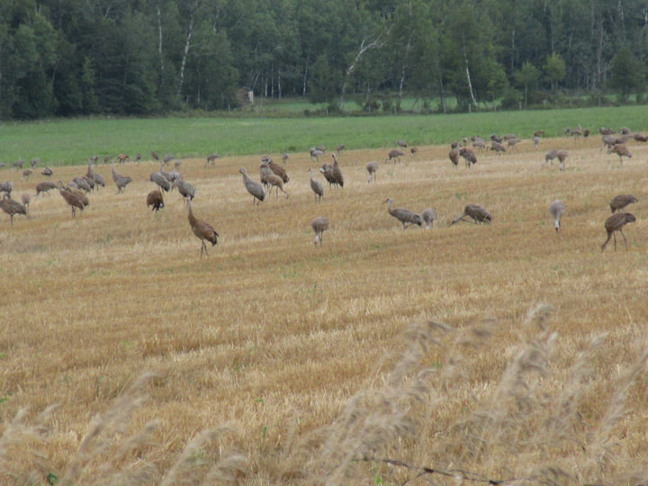
Now for the hour and a half drive back. Since we were not familiar with the area, we used Google Maps to get us back to camp. Strangely though, Lady Google sent us on a different route home than on the one we took to get there. That was ok though. We didn't mind. If we hadn't have gone in a different direction, we wouldn't have passed by a farmer's field and saw hundreds of birds all over the place.
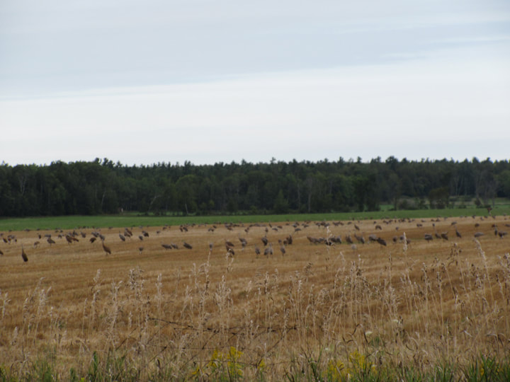
The field was filled with Sandhill Cranes! So many of them! I had never seen so many in one place before.
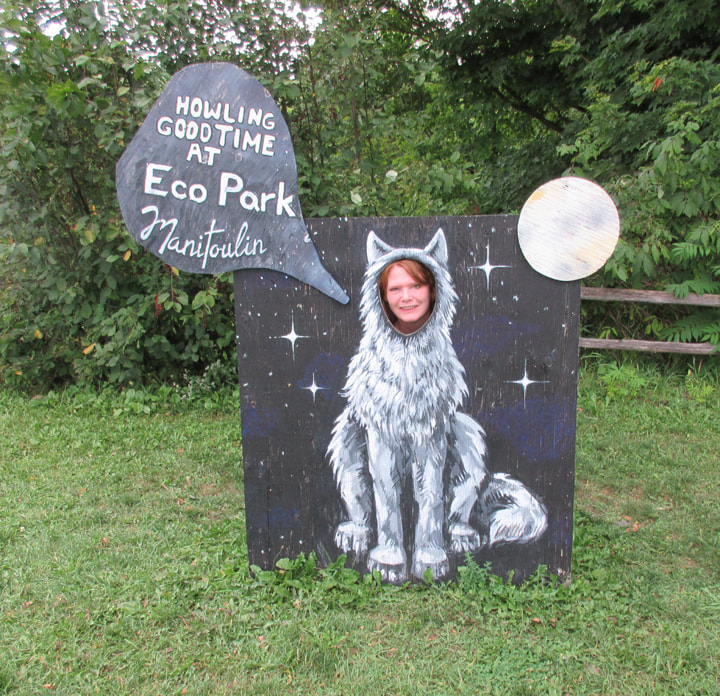
When we got back the rest of the gang told us about their day and we told them about ours and shared our pictures with them. They mentioned that there was a place in the park to get your picture taken with your face in a hole where a wolfs face goes. So we walked over there and I got Dean to take my picture.
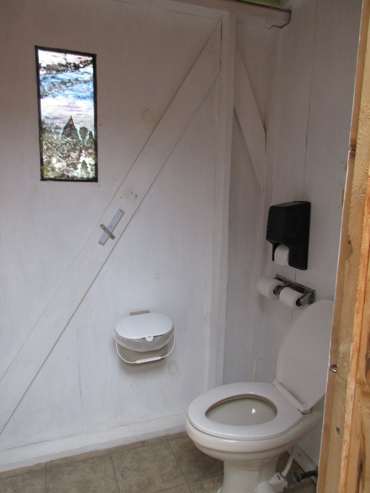
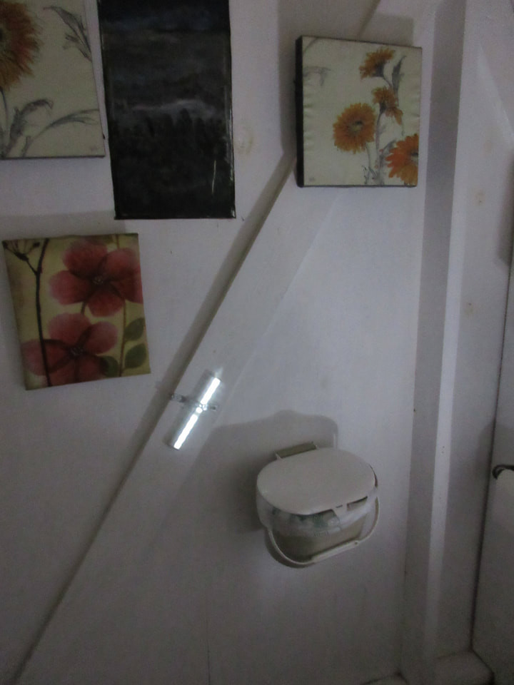
Dean also told me that while we were gone they had discovered some flush bathrooms! And they were pretty close to our campsite and there was more than one of them. They were very nice ones too. They had artwork hanging inside, and a light mounted to the wall for when it got dark. And they were super clean, and did not smell bad. For the rest of our stay we only used these bathrooms.
 |  |
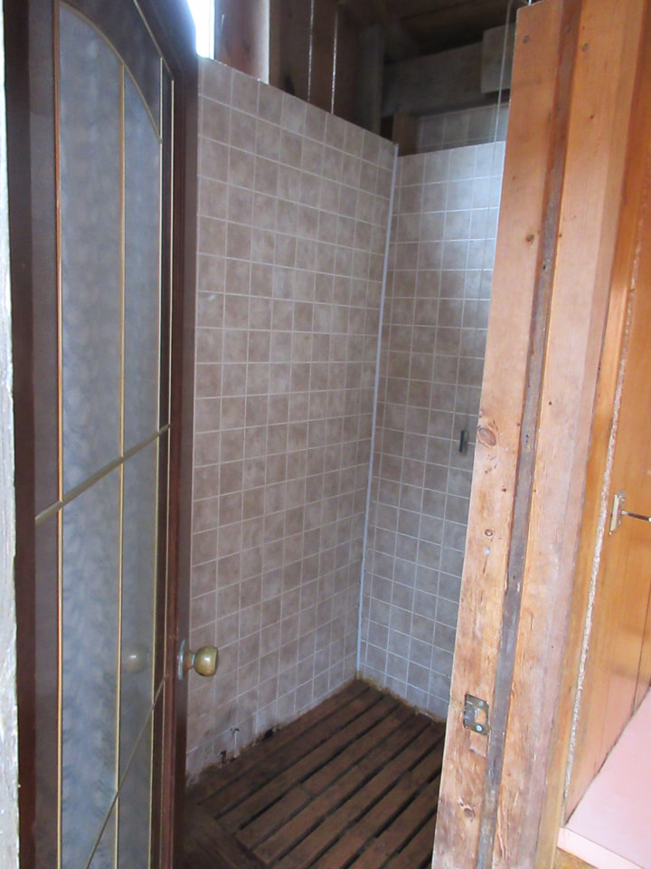
Right beside the flush toilet bathrooms were a couple of showers as well.
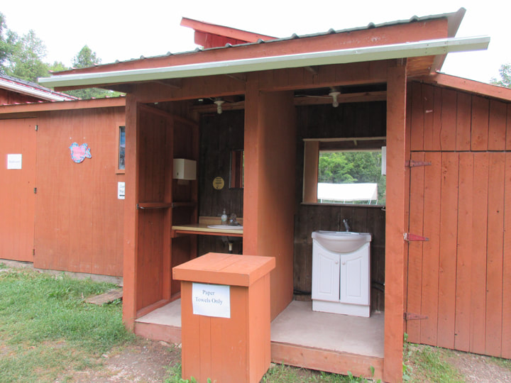
And in two different places there were outdoor sinks where you could wash up.
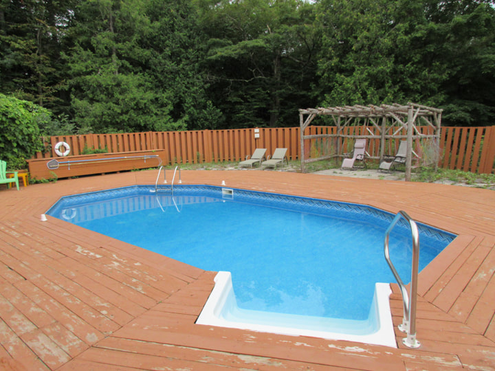
There was a swimming pool on site as well, but due to Covid restrictions it was closed to the public. That was disappointing. I am sure that if it had been open we would have spent a lot of time in there.
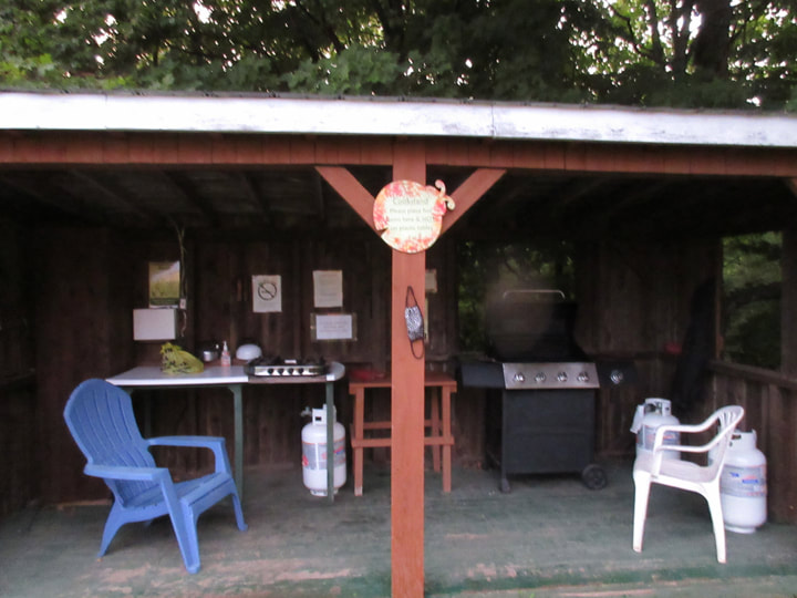
Another thing that they had discovered while we were gone was that the park had a summer kitchen. It was equipped with a BBQ, a table, an electric grill and other things. And it was all free to use by anyone who was staying at the park.
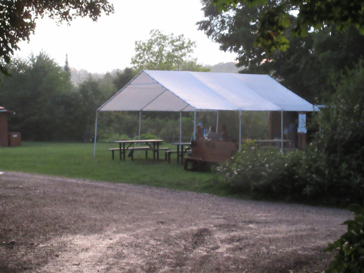
A picnic shelter was also provided for the guests of the park.
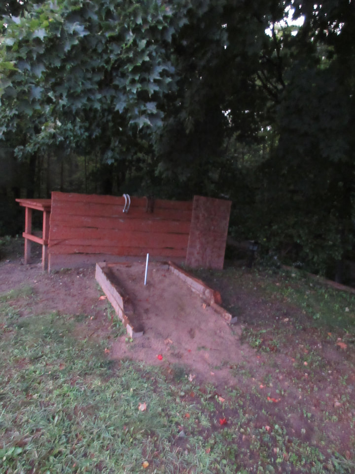
If you wanted to, you could play a game of horse shoes in the horse shoe pit.
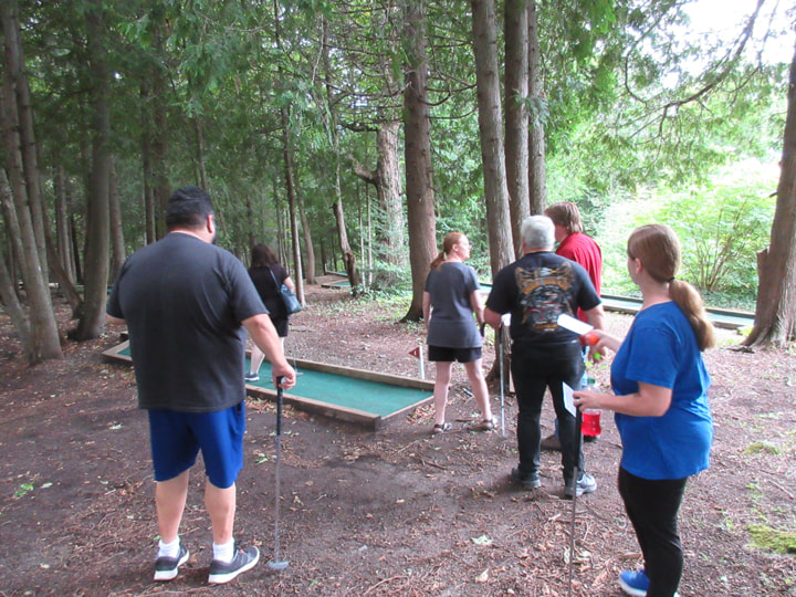
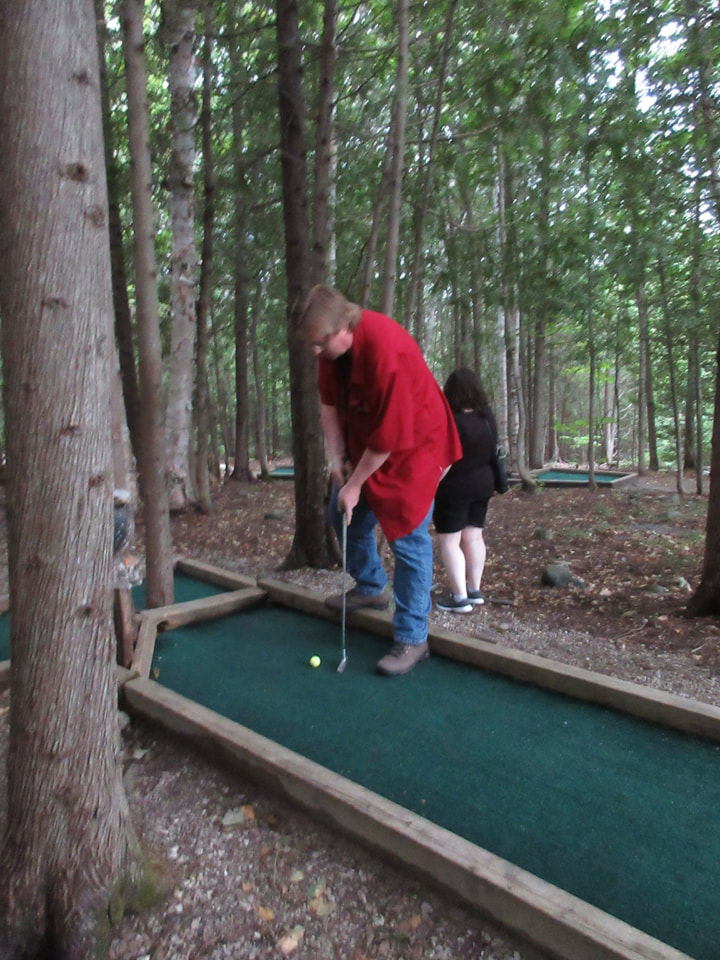
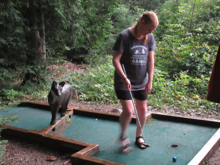
However, we were much more interested in playing a game of mini-putt. The sky was grey and it looked like we were going to get some rain. But the mini-putt course was under a bunch of trees, so we decided that even if it did rain we weren't going to let that stop us.
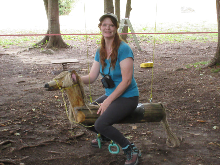
The mini-putt course is located in the same area as the children's playground area. So, while I waited for my turn, I went to check out all the playground toys. They had what looked to be a handmade horse swing.
| And they had a little tree house for the kids to play in. The tree house was fully equipped with a play kitchen, a table, a chair , and all sorts of other toys. It was everything a kid could want in a tree house. I was quite impressed with all the things that they had for kids here. 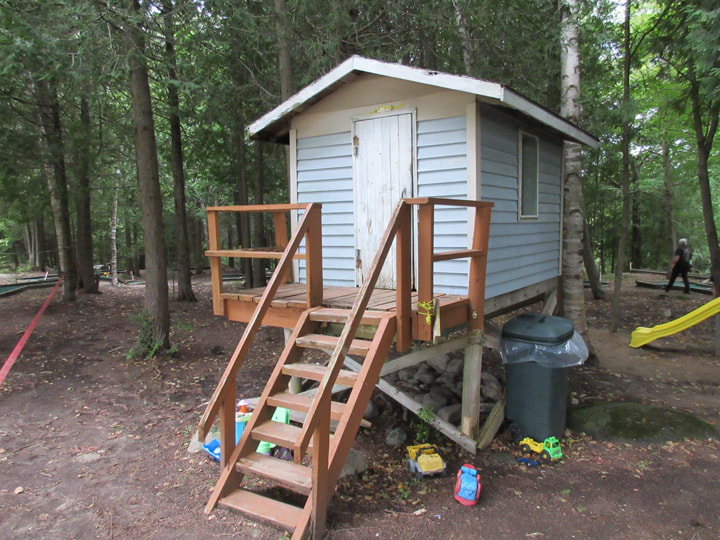 | 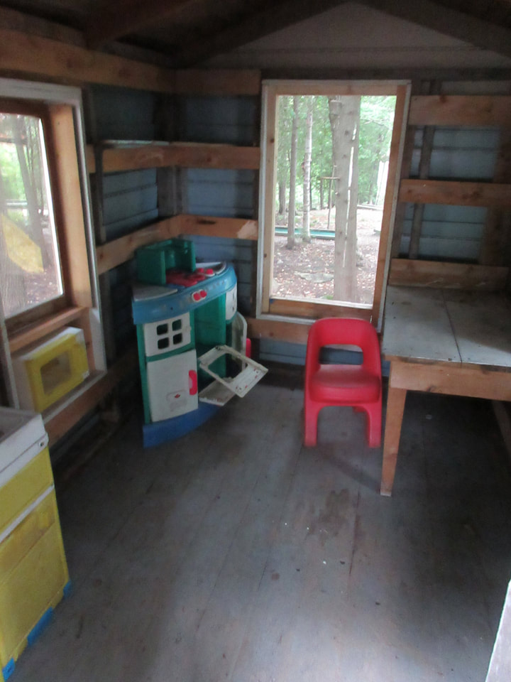 |
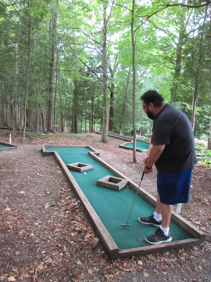
Most of the course was your typical mini-putt course. But there were some unusual ones and there were some very tricky ones. As with most mini-putt courses, one of the things that made it fun was how it was decorated.
 |  |
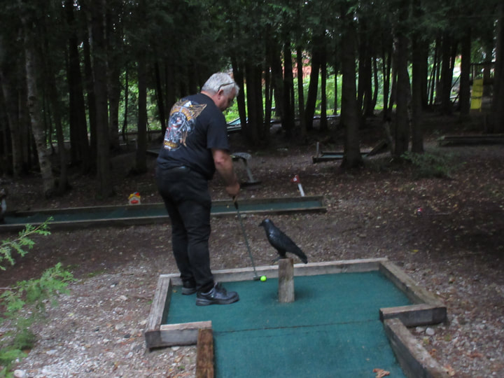
 | 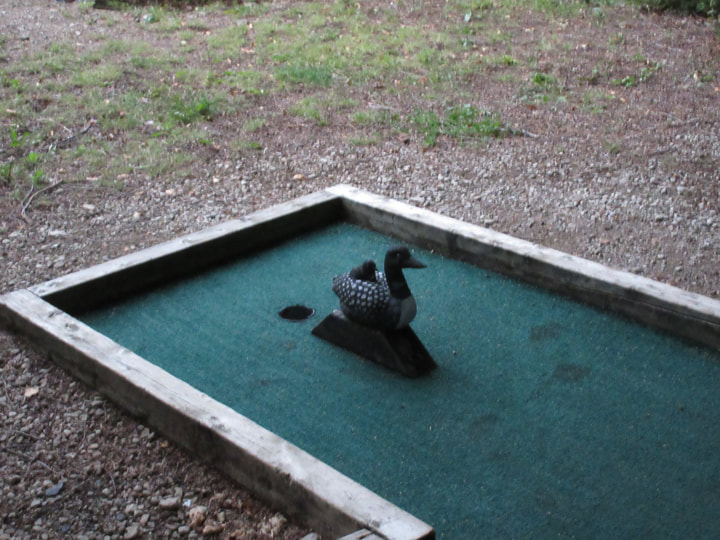 The mini-putt course was decorated in a woodland theme. It had various birds and forest animals. Some were a little worse for wear and could use a bit of sprucing up, but the concept was cute. There were foxes, and loons, and crows, and other animals. |
About half way through our game it did start to rain. We just took our score sheets and stayed close to the base of a tree to try to keep them dry as we watched the other players take their turns.
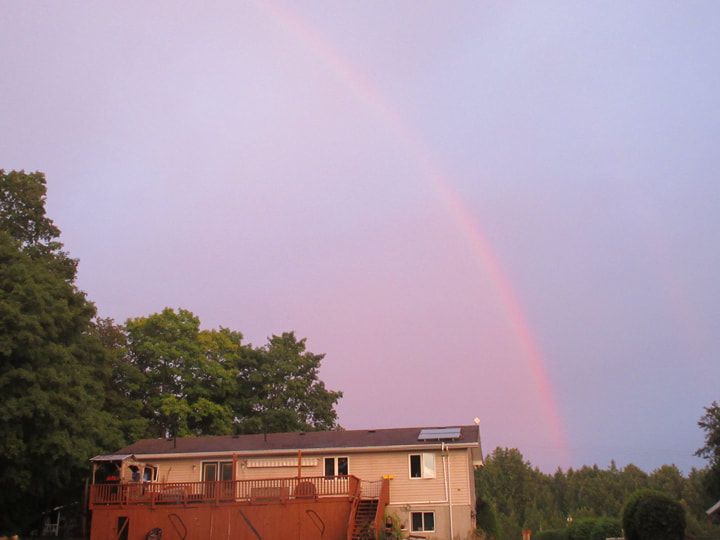
Despite the rain, the sun was still trying to peek through. So, when we were done our game of mini-putt, we emerged from the trees to find a big rainbow in the sky.
Since it was raining off and on, we didn't make a fire that night. Instead, we made supper in the dining tent using a cook stove. We spent the rest of the evening playing board games in the tent until it was time for bed. Anika and Dean slept in the dining tent again. They even weathered a thunderstorm during the night in nothing but the screen tent. But it was still preferable to staying in the tipi.
Despite the disappointment of the tipis, the trip was still very enjoyable. If we had known some things ahead of time we probably would have done things a little differently. But when all is said and done....It's hard to be miserable when you have been to Misery Bay!
Despite the disappointment of the tipis, the trip was still very enjoyable. If we had known some things ahead of time we probably would have done things a little differently. But when all is said and done....It's hard to be miserable when you have been to Misery Bay!
 RSS Feed