Woke up at 9:30 to an overcast day, but it was still nice out. We checked the weather forecast and saw that we had time to squeeze in a hike or two before the the rain was to hit at 3 p.m. We were not looking forward to the thunderstorms that were expected at 8 p.m.
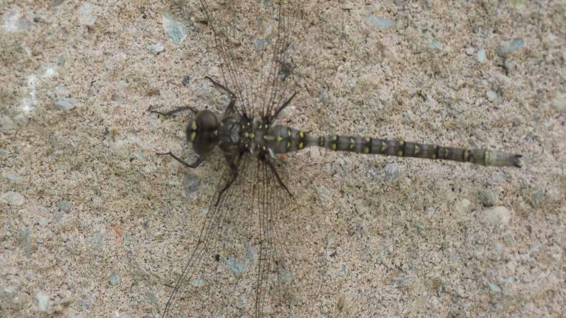
The comfort station was packed full of people brushing their teeth so I spent my time getting a good look at a dragonfly on the wall outside while I waited.
The comfort station was packed full of people brushing their teeth so I spent my time getting a good look at a dragonfly on the wall outside while I waited.
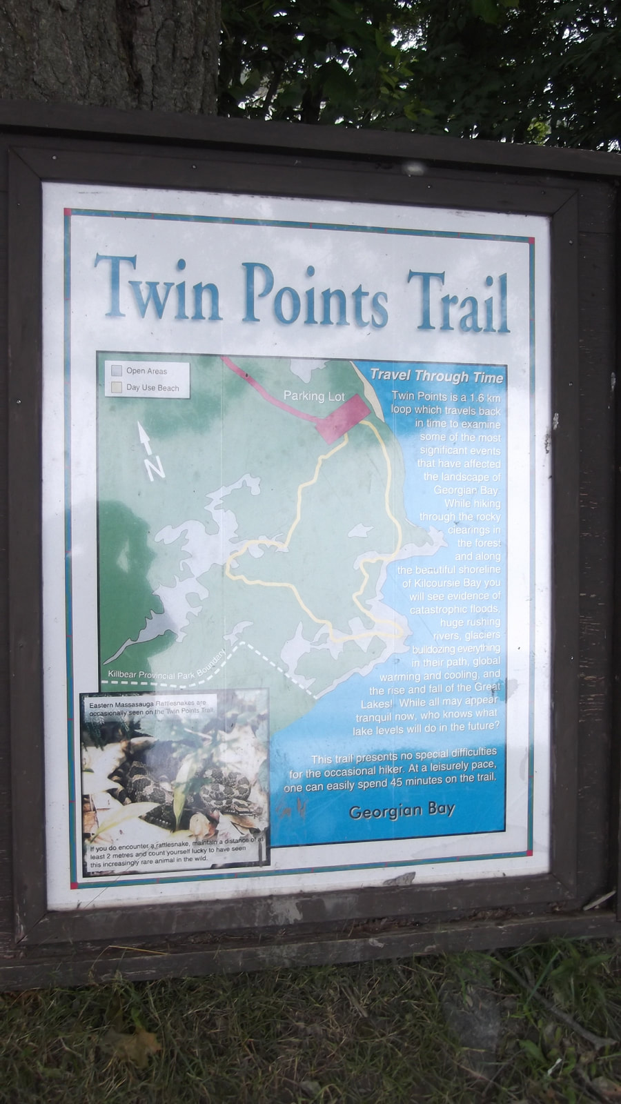
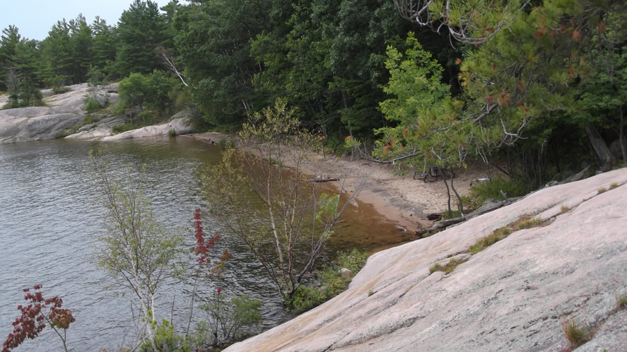
After a breakfast of oatmeal and muffins we headed off to the first trail. The Twin Points Trail is a 1.8 km loop that crosses forest, sandy beaches and bedrock ridges as it works its way along Killbear's shoreline.
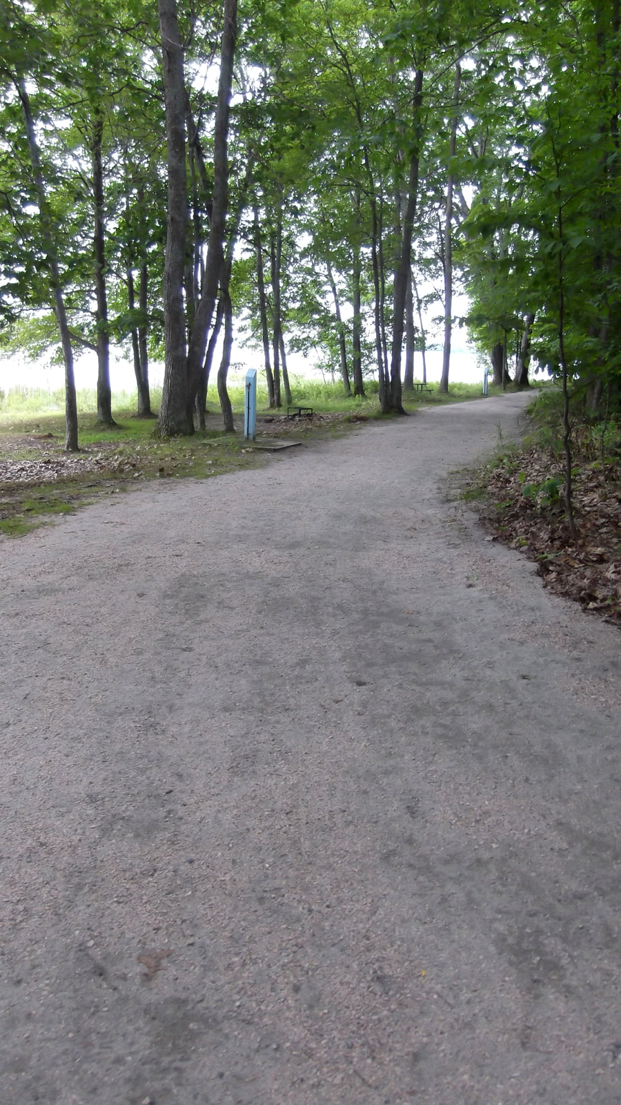
The entrance starts at the Day Use Beach area and begins as a very wide, very well-groomed path. This trail is quite easy and much of it is wheelchair accessible. They are working on making even more of it wheelchair accessible. There were not too many people on the trail today due to the overcast skies.
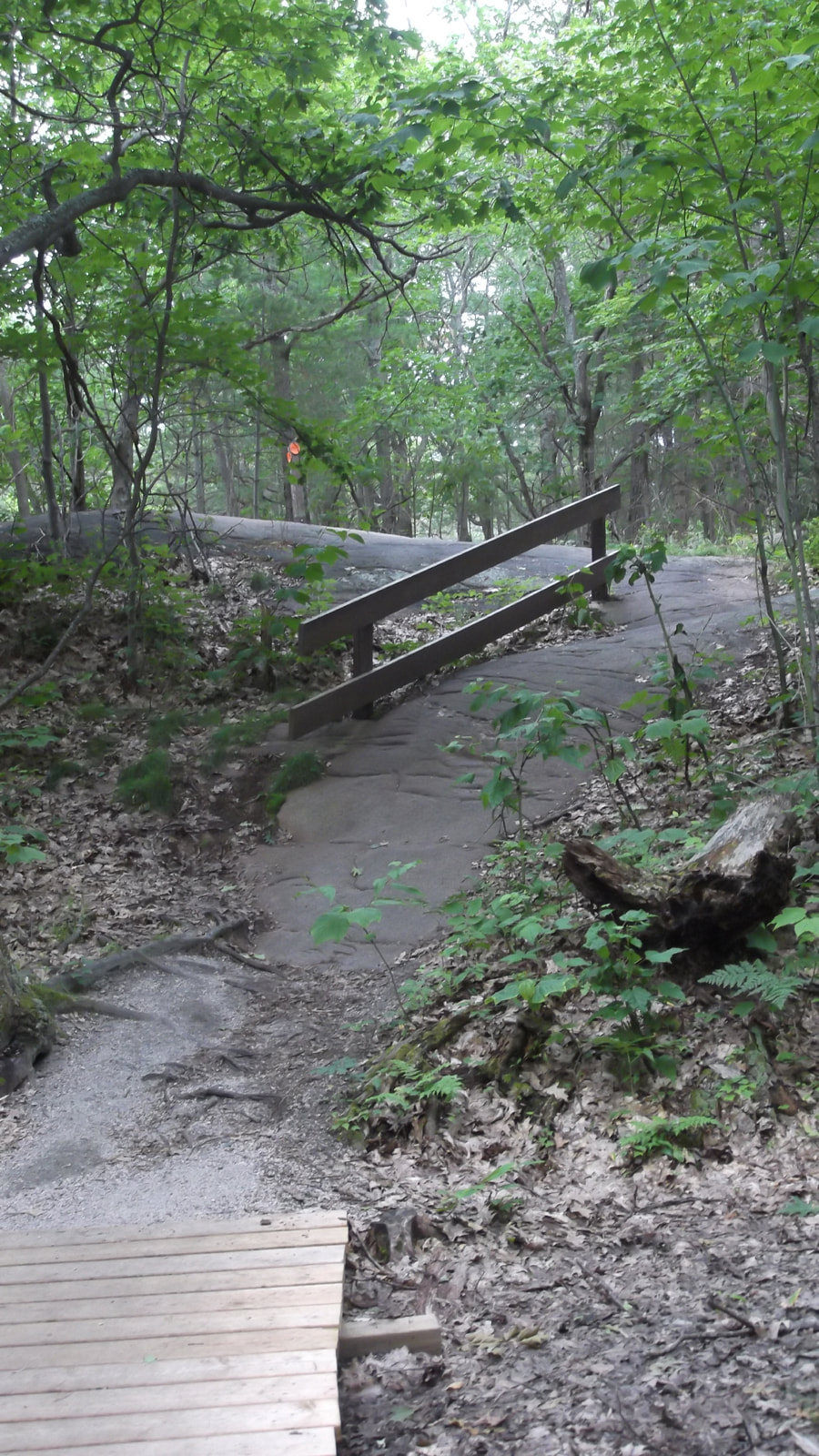
| We picked up a brochure at the trail head and began our hike down winding paths and boardwalks. 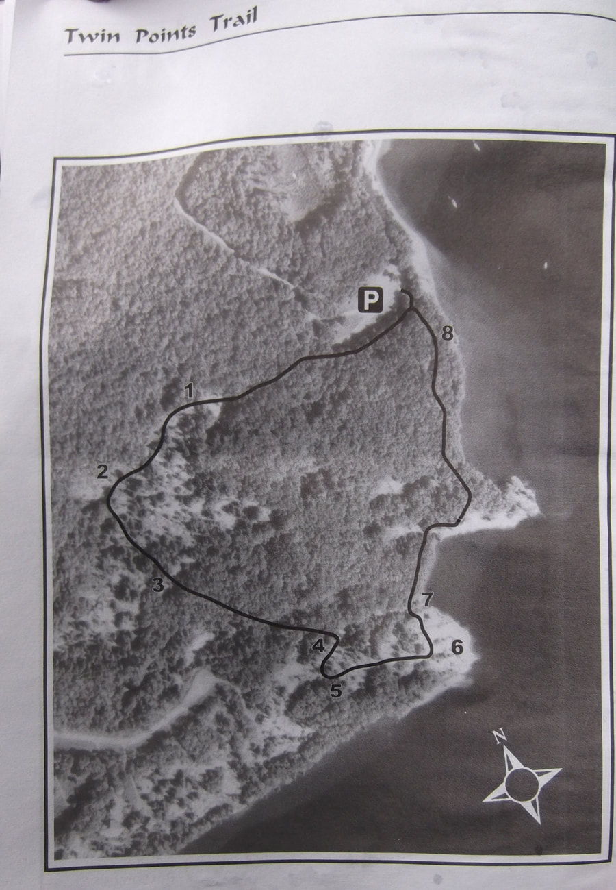 | 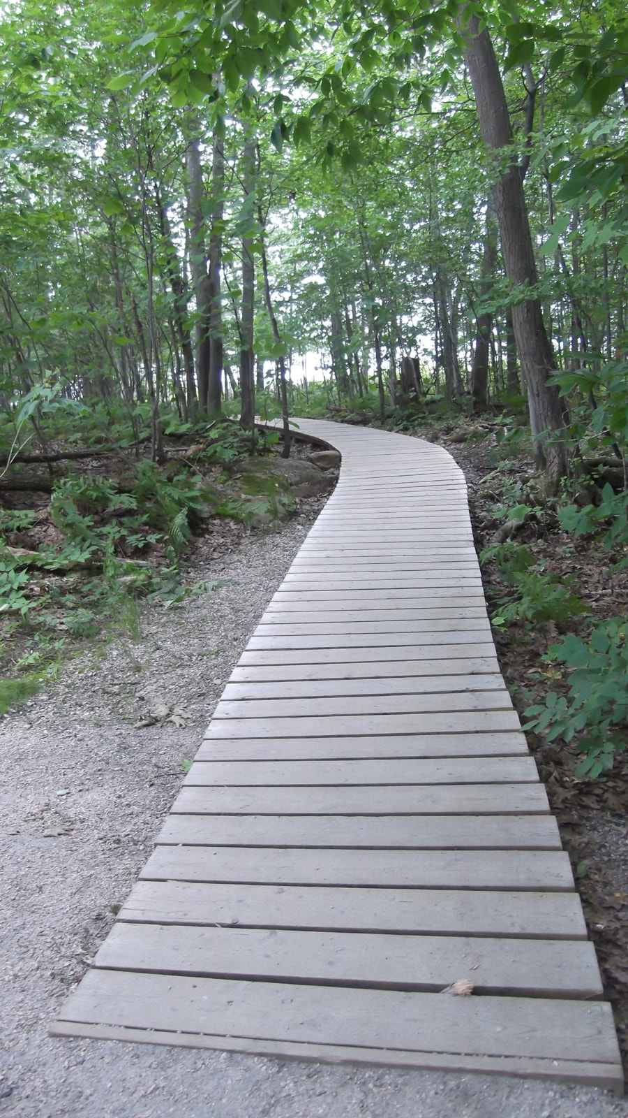 |
In many parts of the path you could see the waters of Georgian Bay. Despite having the map in our possession, we somehow managed to miss the fork in the trail and ended up walking this trail in the opposite direction that the map laid out. That was ok though because you can't really get lost on this trail.
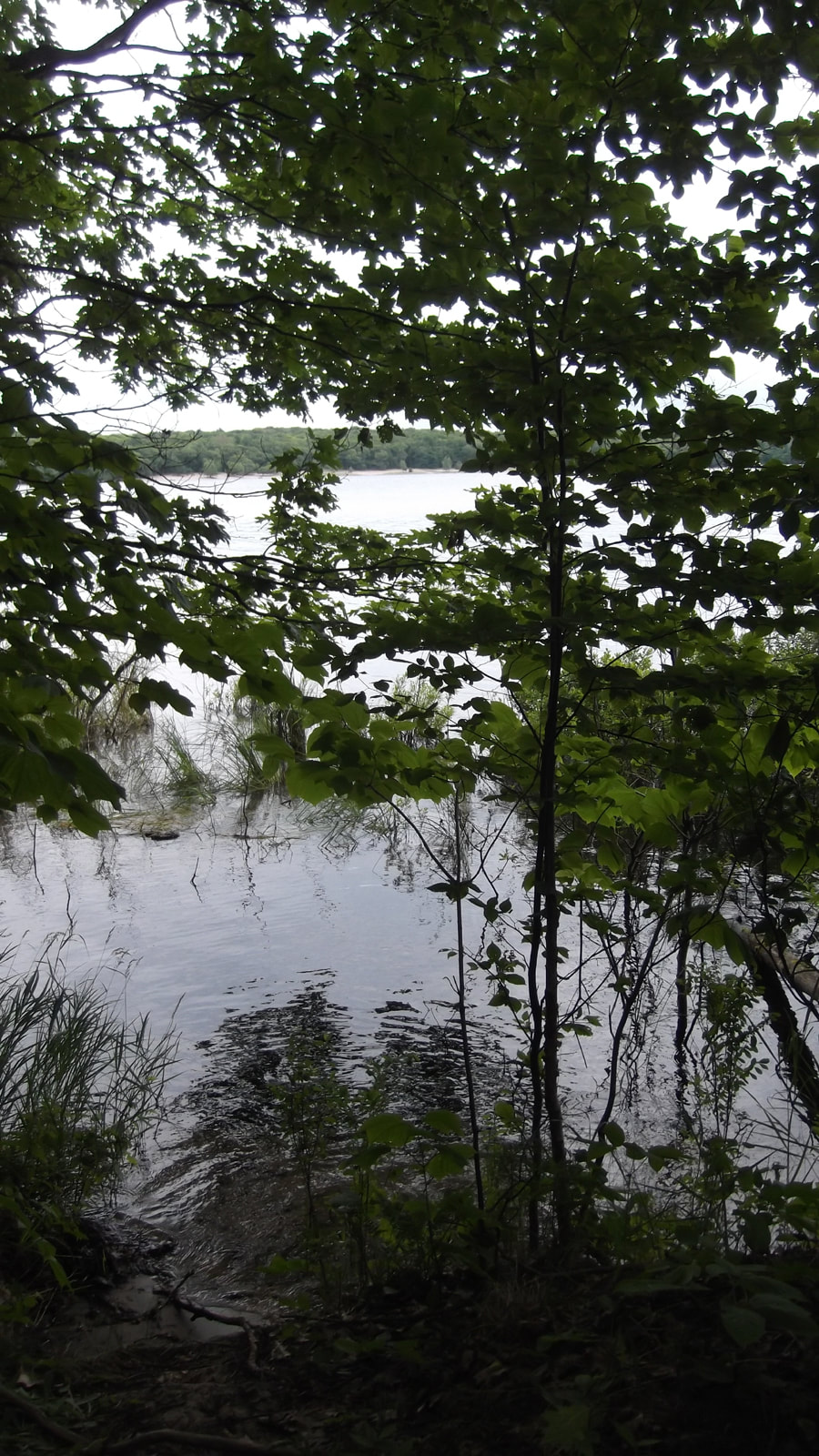
Through the trees we could see the Day Use Beach where we started.
We came to a nice open area (the Point) which had benches for people to sit and enjoy the view.
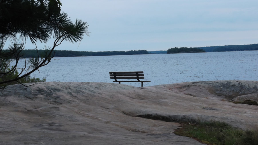
There were a few people already on most of the benches so we just went over tot he shoreline to take in the view.
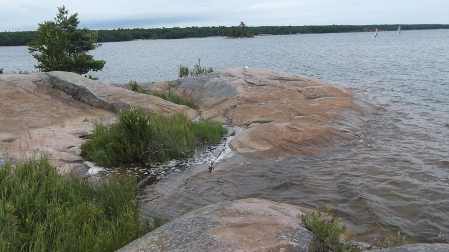
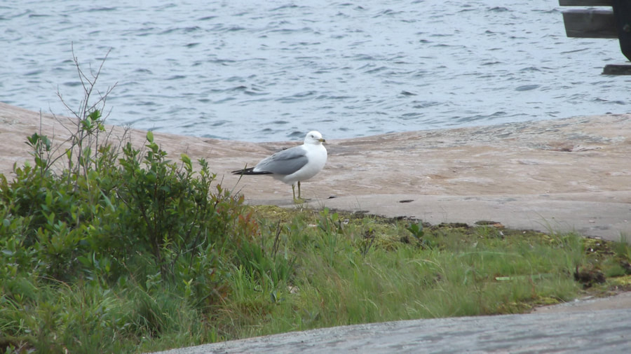
There was a lone seagull hanging out by the shore taking in the sights too.
We noticed a number of boats as well as sail boards on the Bay. It is a popular place for boaters of all kinds.

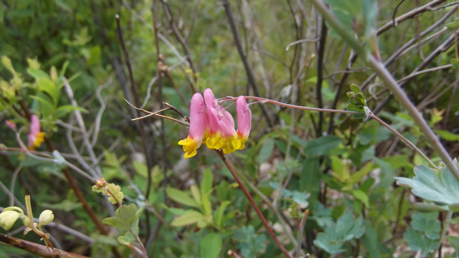
This Pale Corydalis flower was growing all over the place on this trail as well as various other places in the park.
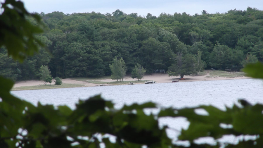
The park has a dog beach and you can access it from this trail.
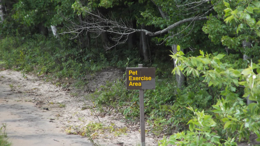
You can see the dog beach from the top of the rock face we were on. It looks small and cozy and it has a picnic table there for the humans to sit at while the dogs swim and play.
One of the things they did to help people on the trail was to install a handrail to get up the rocks.
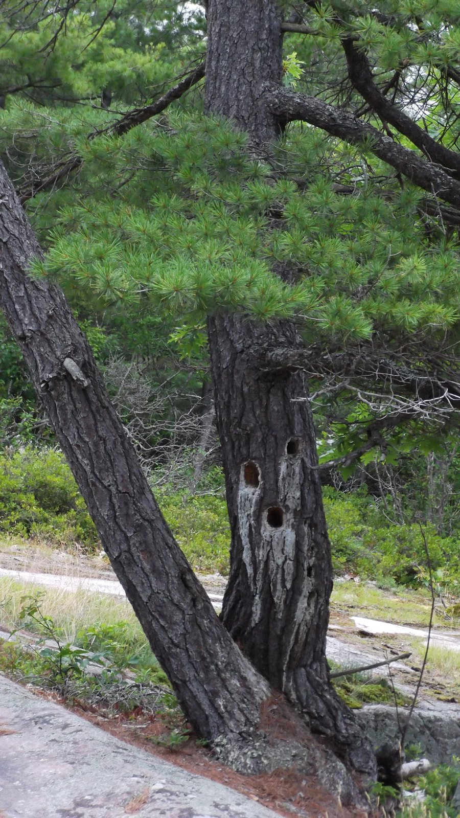
The trail eventually turns away from the shoreline for a bit and into an area with more trees and rocks. This is where Heather and I started our search for rattle snakes. We figured if they would be anywhere it would be here. Apparently one of the park rangers thought so too because she was there with a couple of people and a snake bag. She told us that she hadn't seen any that day.
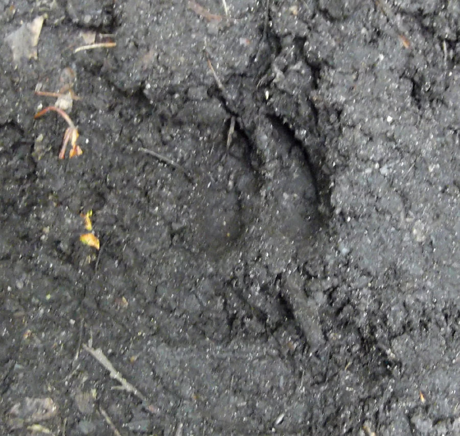
We didn't see any snakes either, but we did come across a deer print in the mud.
 |  We also came across some blueberries and some mushrooms. |
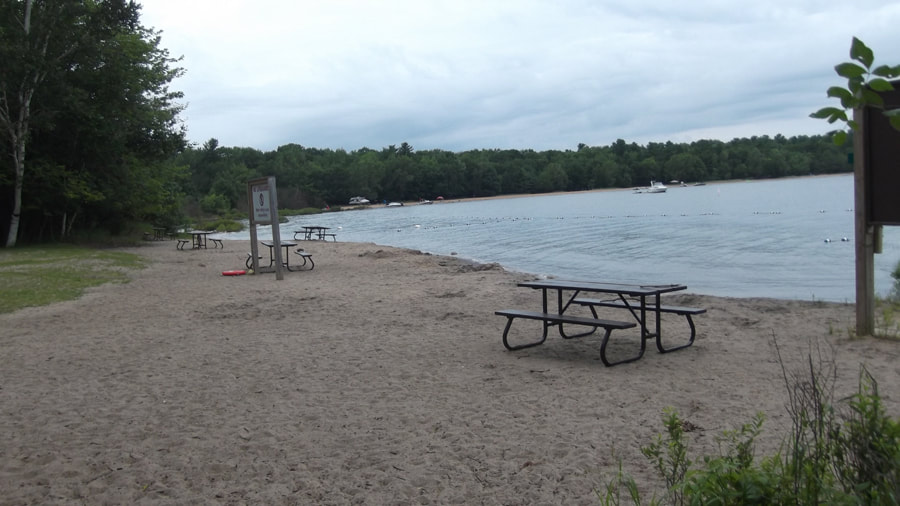
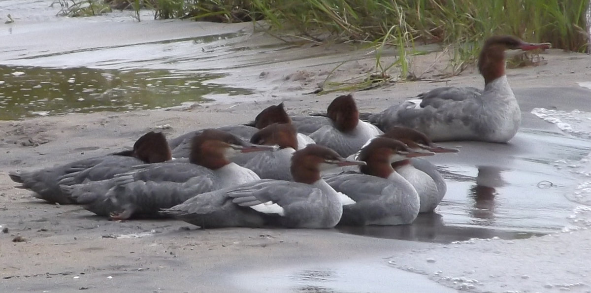
The end of the trail brought us back out to the Day Use Beach. It was pretty empty because it was a bit too cold for swimming that day.
Even a group of Merganser ducks thought so as they huddled together on the sands of the beach.
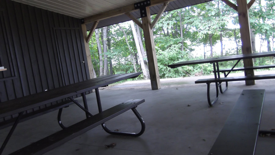
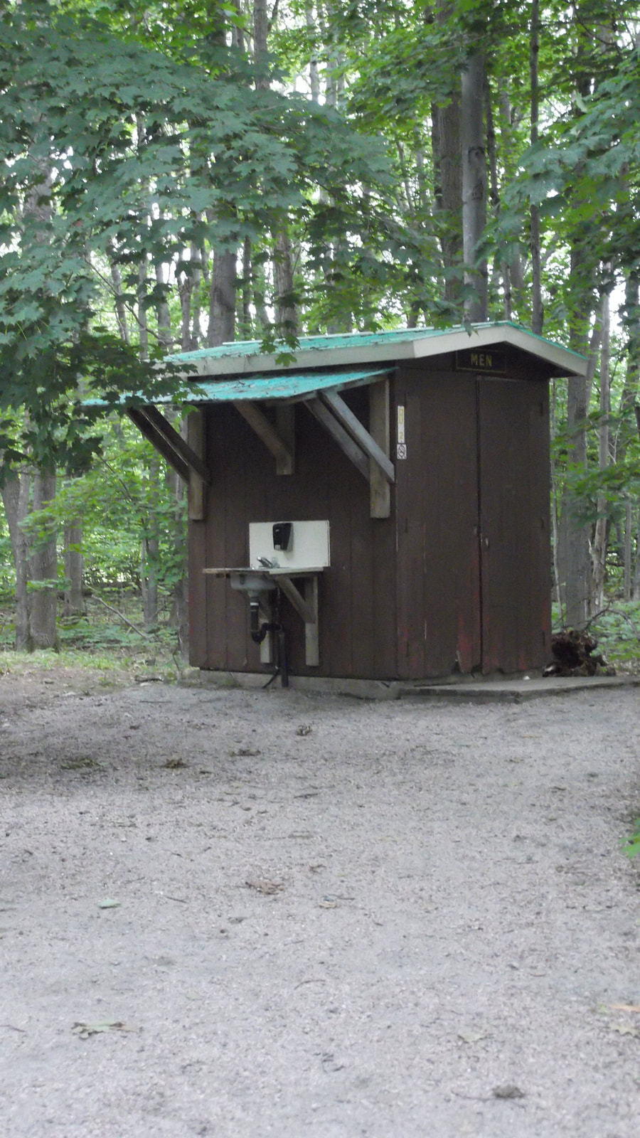
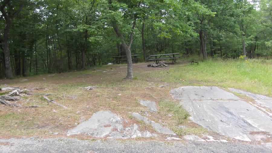
We went over to the picnic shelter to have our lunch. It was a really nice and clean picnic shelter.
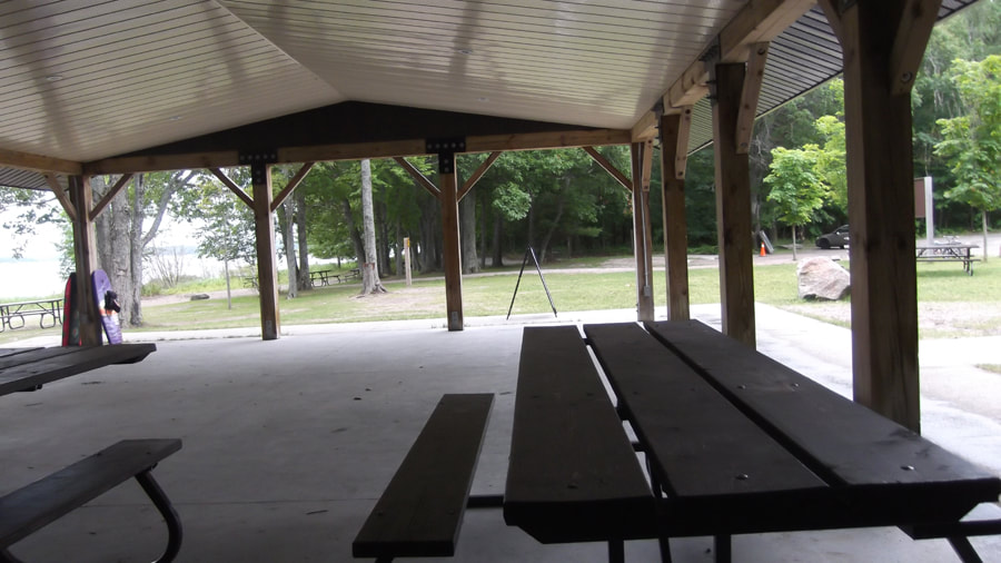
The picnic tables were longer than the benches at one end so that they are wheel chair accessible.
The bathrooms were a bit funny looking with a sink outside the building under a makeshift roof. But at least they provided a sink, so I guess you can't really complain that much.
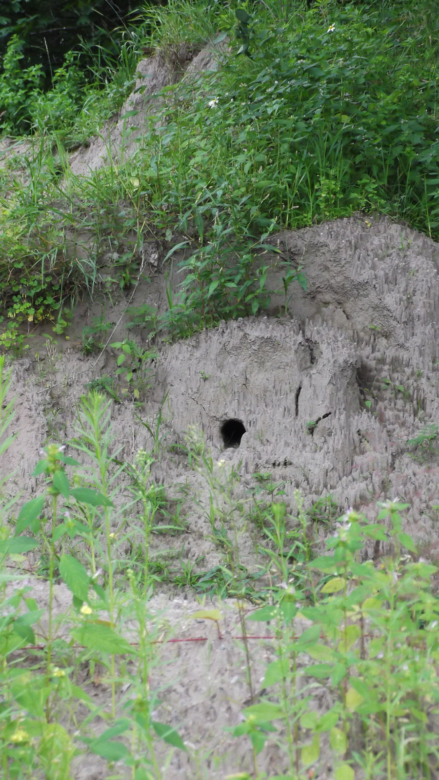
We finished our lunch and left the picnic shelter just on time. A number of cars filled with people started to arrive and fill up the picnic area. So we decided to let them have the tables and we went on another quick snake hunt. We still didn't see any snakes but we saw a huge mountain of sand and a rather large hole dug in the side of it. It looked something like a groundhog hole or something.
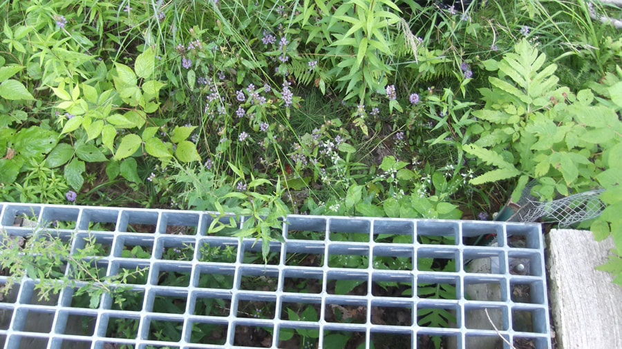
We walked up the road a bit to one of the grates that runs across the roads hoping that there would be a snake in it.
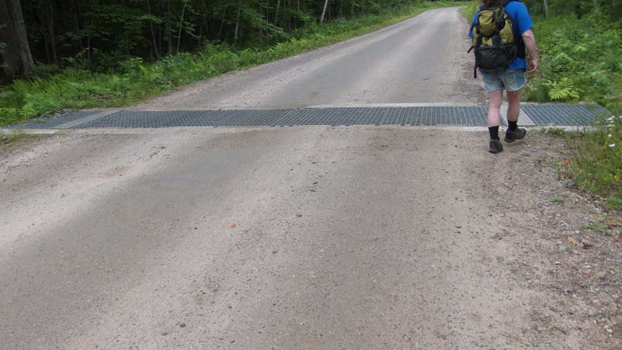
But we were disappointed to see that there were no snakes. There was only some dried leaves and plants.
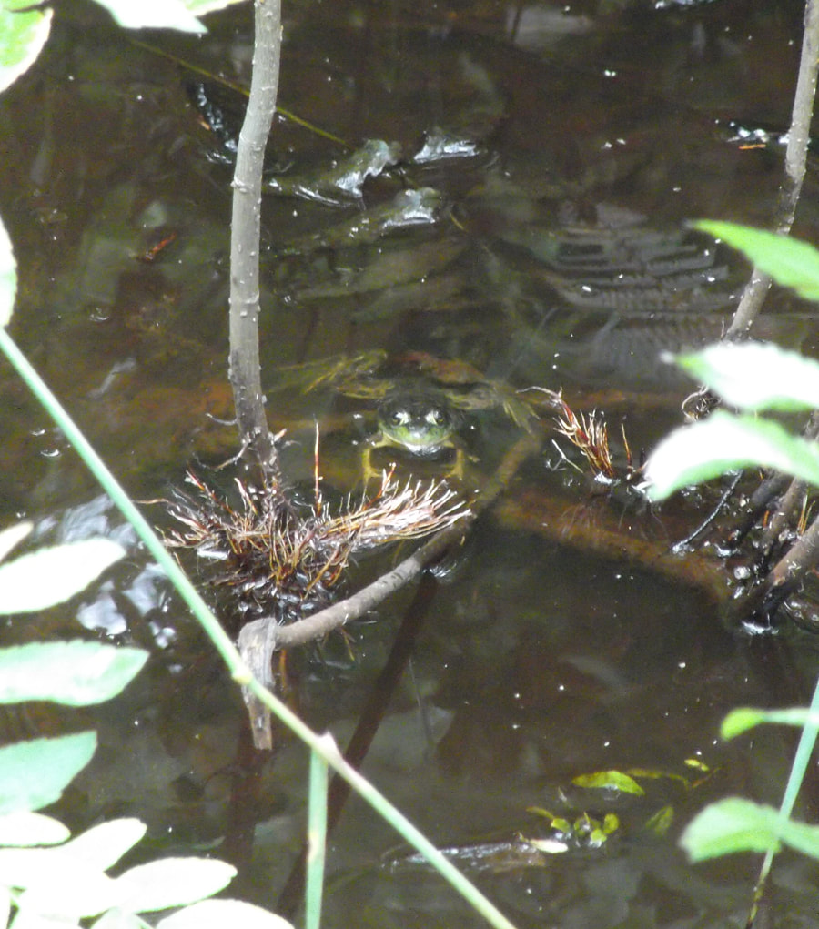
No snakes and no turtles. We did see a frog in the ditch on the side of the road though ... but it just wasn't the same.
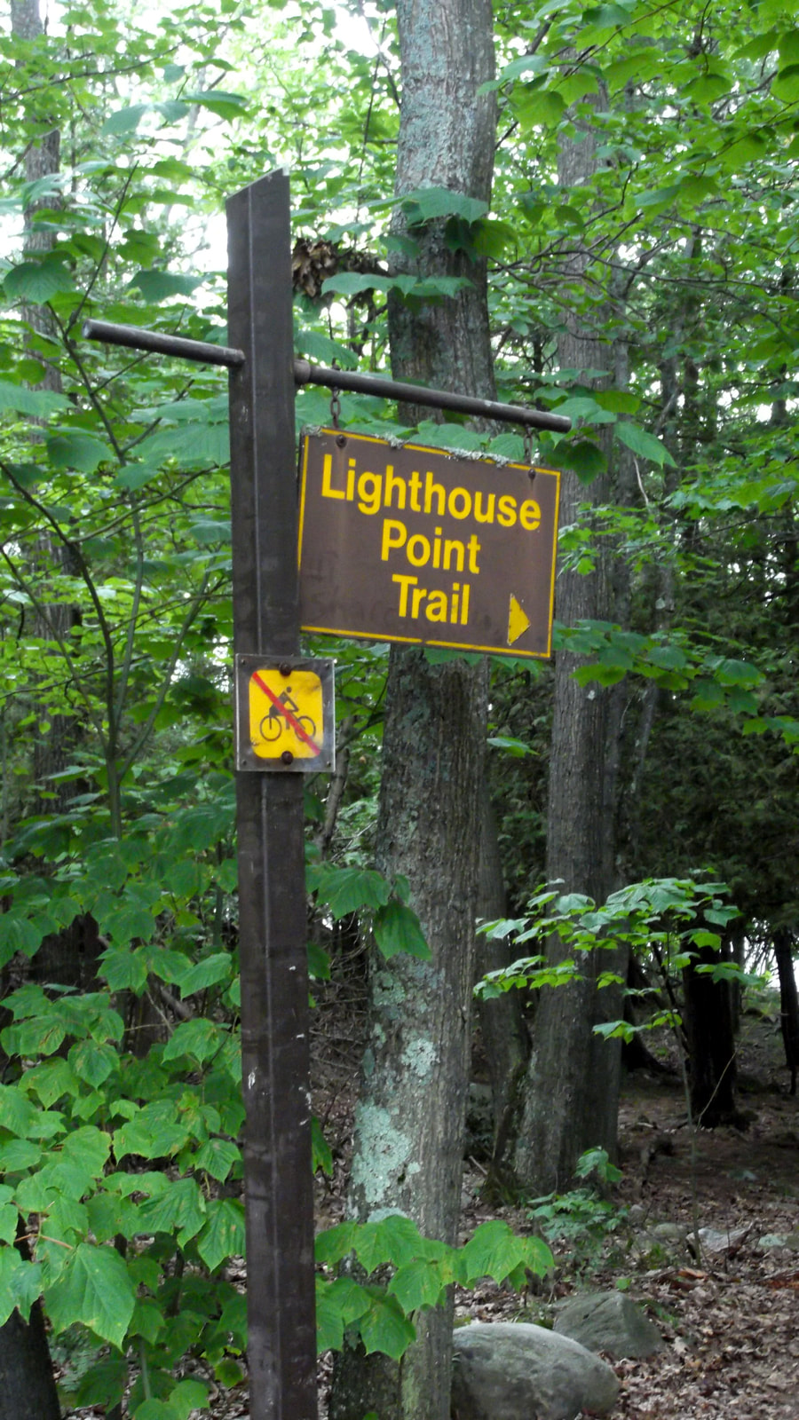
So we hopped in the car and started on our way to the next hiking trail we wanted to do which was the Lighthouse Point Trail.
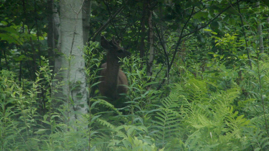
To our surprise we saw a deer cross the road in front of us! According to the brochure for the trail we had just walked the deer were not usually seen until September until May so that was why we were not really expecting to see a deer. We watched it for a couple minutes until it took off into the woods and then we carried on our way.
To our surprise we saw a deer cross the road in front of us! According to the brochure for the trail we had just walked the deer were not usually seen until September until May so that was why we were not really expecting to see a deer. We watched it for a couple minutes until it took off into the woods and then we carried on our way.
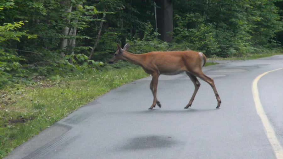
We drove for a few minutes and then to our surprise we saw another deer!
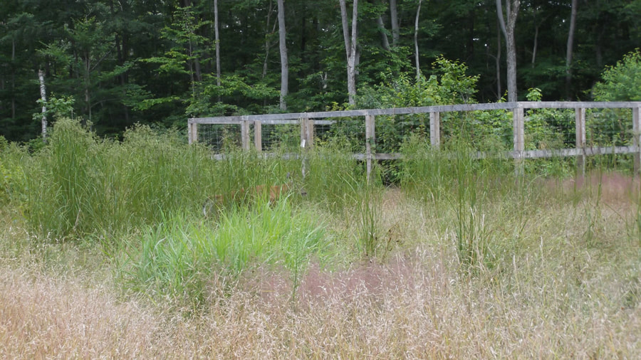
As we rounded a bend we saw that a couple of cars on both sides of the road had stopped to look at something in the tall grass at the side of the road. There were two more deer grazing along a fence line. At that moment a rude guy in a red truck pulled up behind us and shouted "Get Moving!" to everyone. Of course we couldn't go anywhere because there were cars in front of us, but even if we could I might have considered staying put for a few minutes more just to spite him. However, some people happened to come walking up the trail just at that moment and inadvertently scared the deer away. So the cars in front of us began to move again and the rude guy behind us got his wish.
It wasn't long before we arrived at the trail head for Lighthouse Point trail. This trail is only a 0.5 km looped trail that takes you to the tip of Killbear Point with great views of Georgian Bay and interesting rock formations.
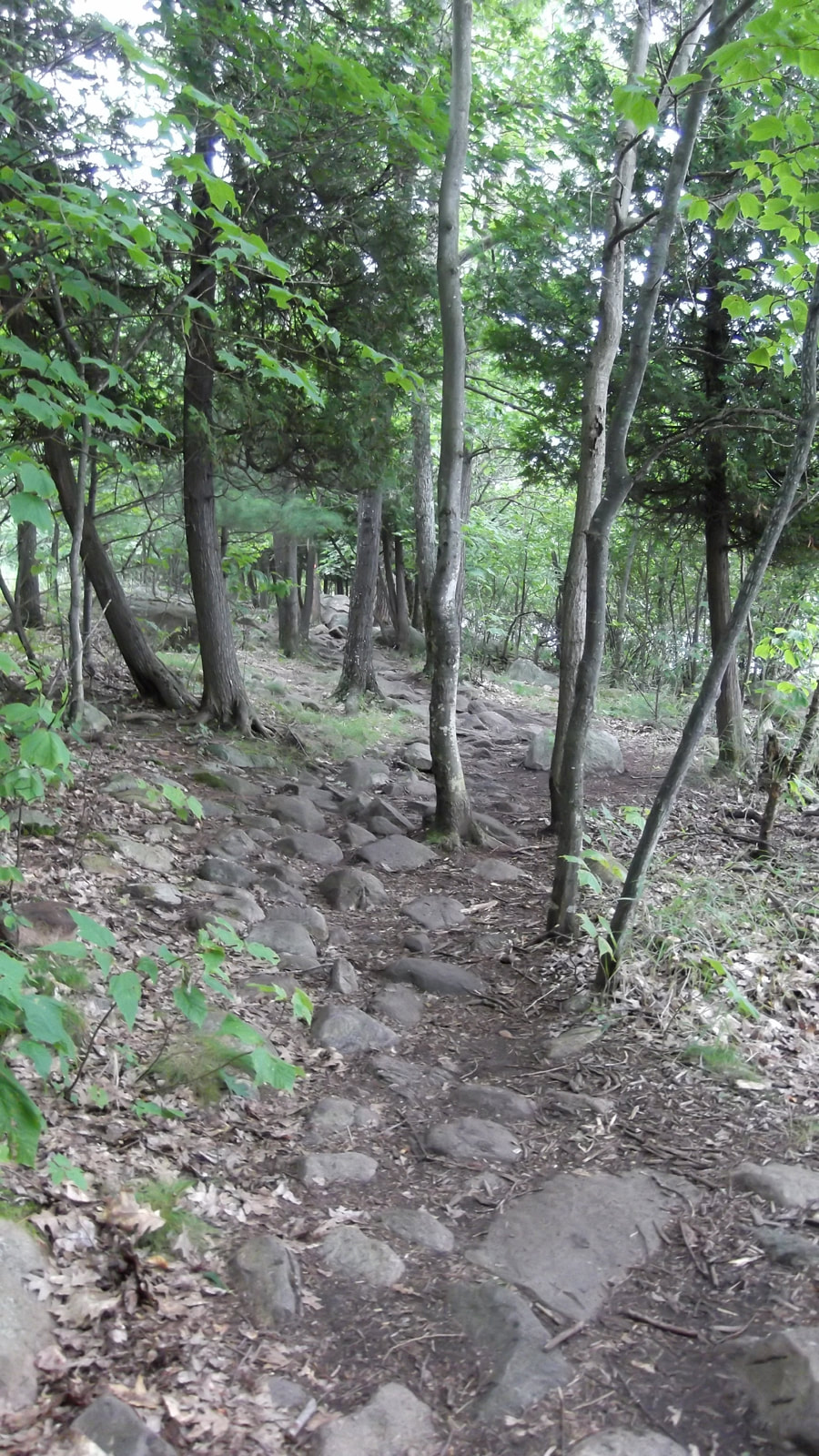
Right from the beginning you can tell that this trail is not as smooth and easy going as the other trails we were on. There was much more rocky areas that had to be climbed and you had to watch your footing.
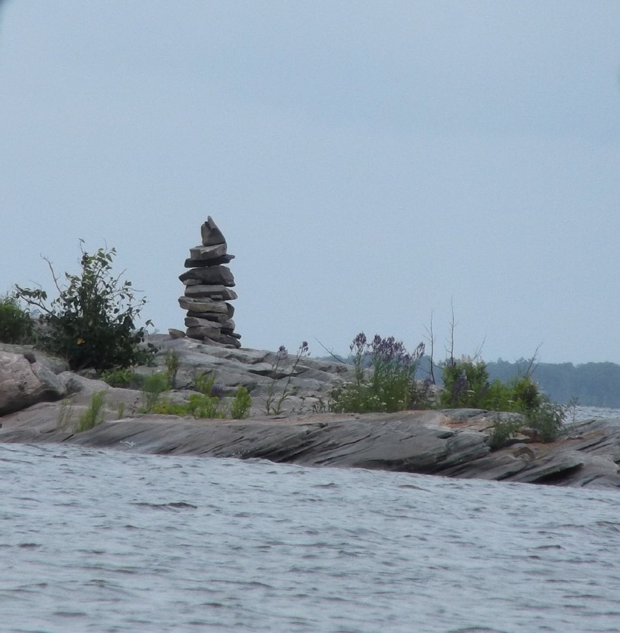
There are areas that go along the shoreline. Looking out through the trees we could see a large rock that jutted out of the water. On top of it someone had built a little inukshuk from some of the rocks that were there.
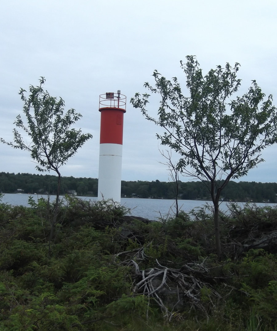
At the point there is a light house, but it wasn't the tall light house building that I had expected to see. It wasn't manned by people and it was just a big round metal structure. It was still nice enough I guess.
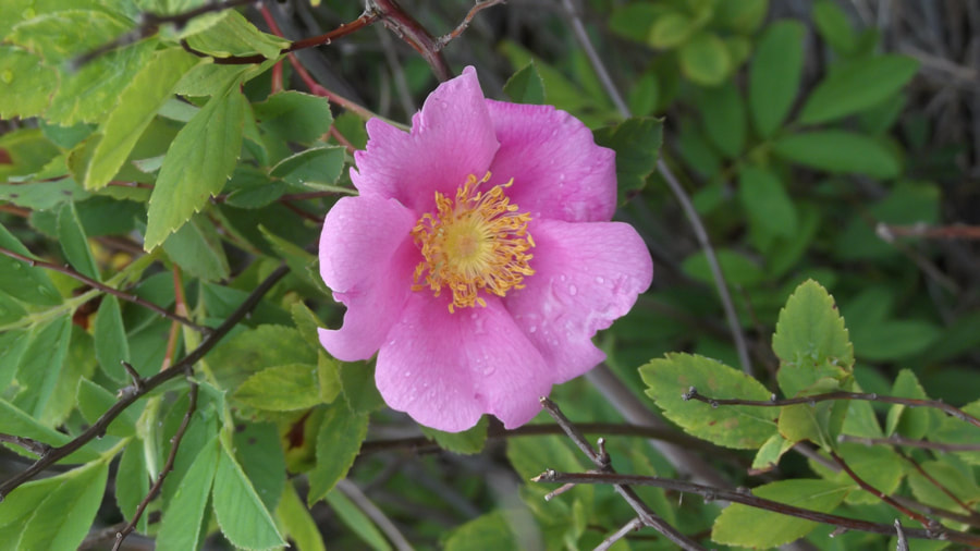
All around the lighthouse bushes of wild roses were growing.
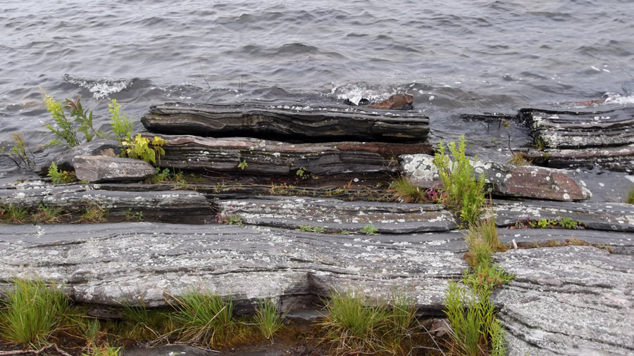
The rock formations, both in the water and out, were quite interesting to look at. I think that some of them would even make a nice painting.
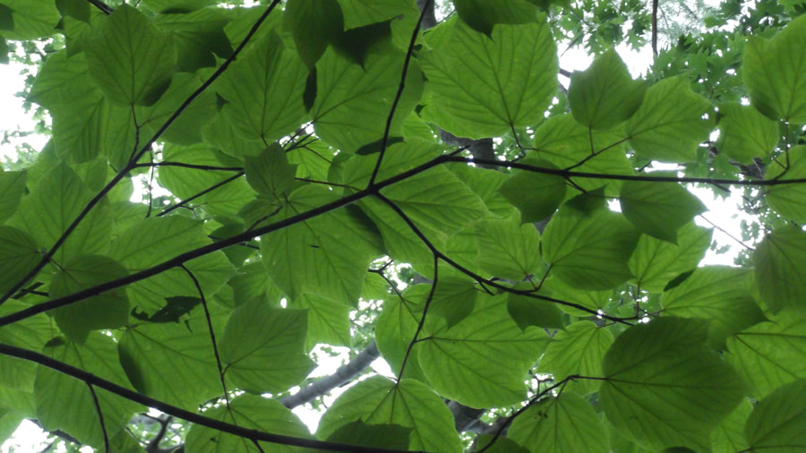
Looking up above your head the striped maple leaves made a textured canopy of green.
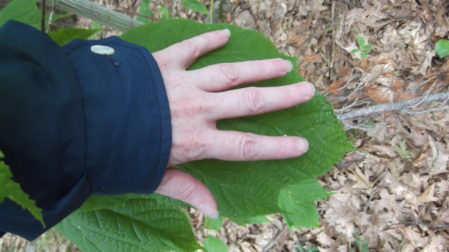
Some of these leaves were bigger than my hand! They were huge!
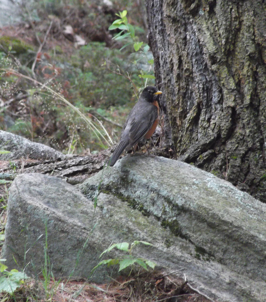
For most of this walk we were the only ones on the trail, so it was quite peaceful and quiet. It was so peaceful that the birds seemed to feel comfortable in hanging out with us.
 | 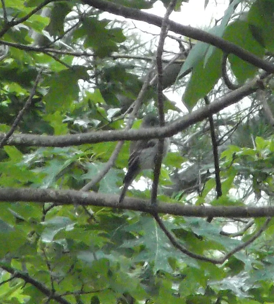 |
A robin ignored us while it went about it's business of finding it's dinner.
At the end (or beginning as the case may be since the trail is a loop) there is a small beach.
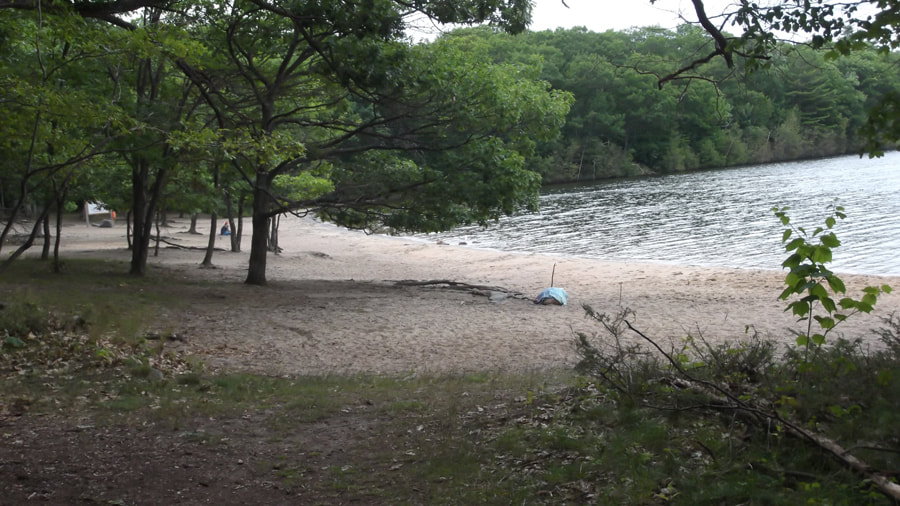
Once again there was no one in the water swimming because the weather was not very warm. I wondered how busy it got on hotter days.
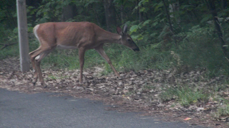
We finished our hike at about 2 p.m. and headed back to our campsite. Once again we saw deer along the way. This park had so many deer! We must have seen about 6 or 8 in the course of a couple of hours.
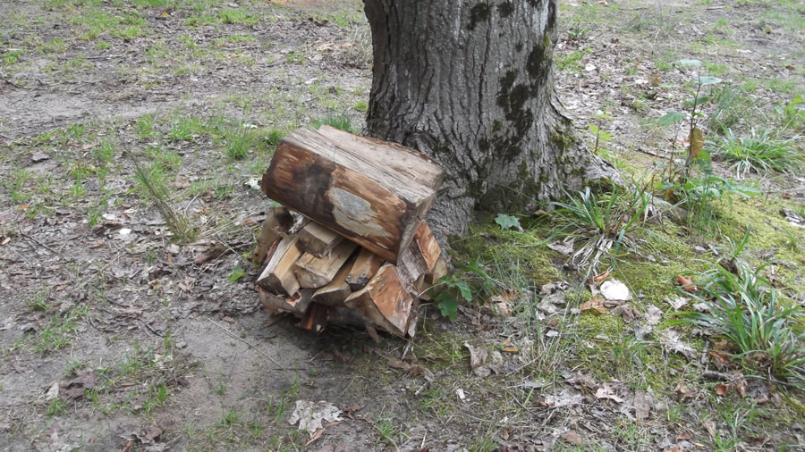
When we arrived back at the campsite we were thrilled to find that someone had left us their left over wood that they hadn't used. It appeared that the people on the campsite next to us had packed up and gone home while we were hiking. It was such a nice thing for them to do for us.
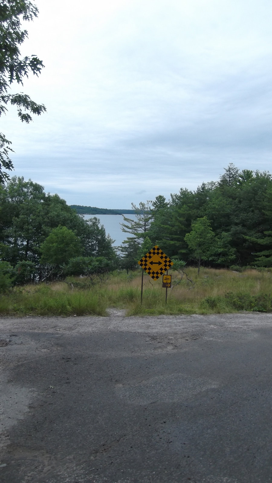
It still hadn't started raining yet, but we were expecting it at some point during the day. So since we had some time we decided to go and see what was over the blind hill by our campsite that we have now dubbed "mystery hill".
At the top of the hill we took note of an empty campsite, # 815, that we liked and thought would be a good site to try to get the next time we came camping here.
The road came to a T at the end and we wondered whether to go left or right. We decided to do neither because we spotted an unmarked path to the left of the road sign that was in front of us. We figured that since we were on "mystery hill" that we may as well follow a "mystery path".
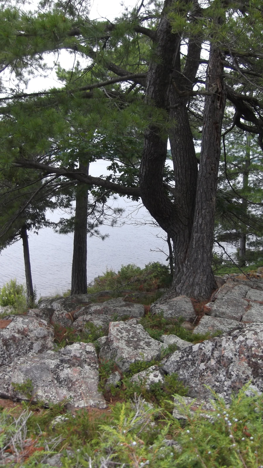
The mystery path went down to the rocky shoreline of Georgian Bay. It was very quiet and peaceful there. There weren't a lot of trees but the pines that were there amongst the rocks had character.
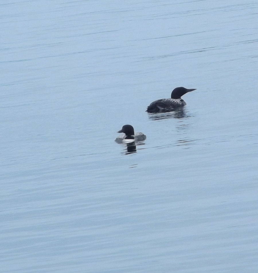
We spotted a couple of loons out in the bay and we sat and watched them for awhile.
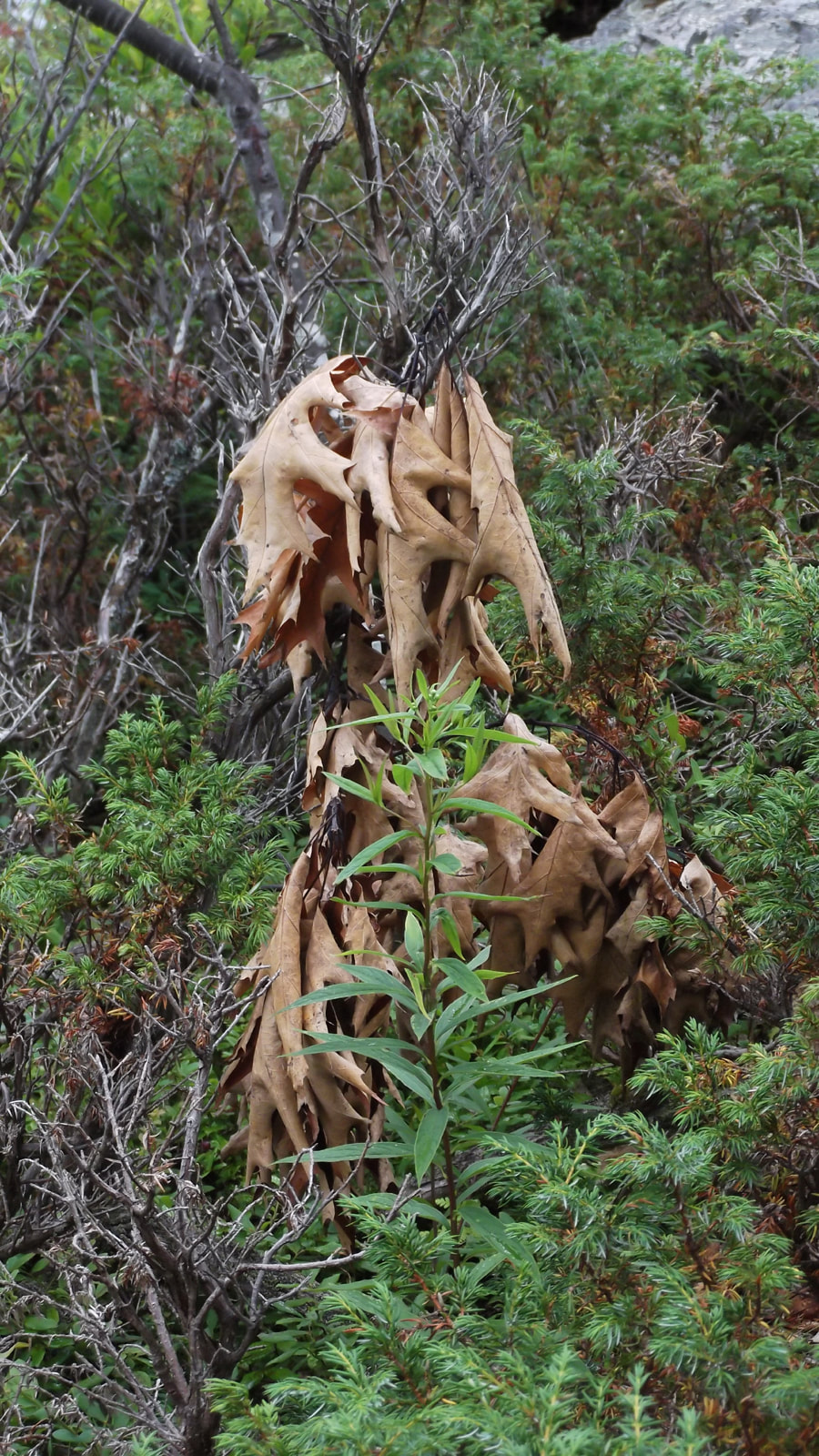
Eventually the path disappeared and we were just rock hopping. In the distance we saw a brown shape that looked like someone's golden retriever dog sitting in the underbrush.
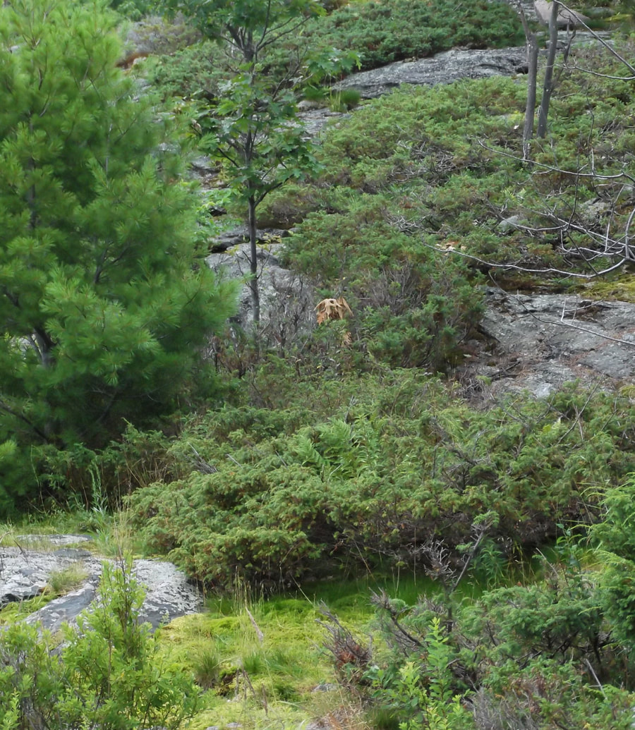
But we laughed as we got closer and realized that the "dog" we thought we were looking at was actually only a bunch of dried up leaves hanging from a dead tree.
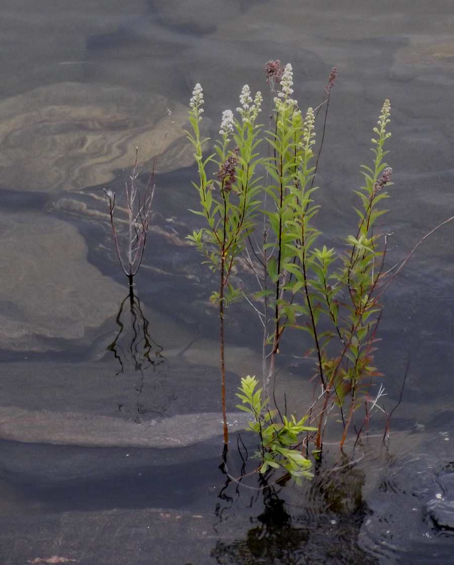
We turned around and headed back along the shoreline. The water was clear and clean and looked inviting. Flowers were loving it.
When we got back I took a short nap and awoke to hearing the sound of a light rain on the tent. We made a fire and cooked steak over the flames. We decided to cook s'mores for dessert. I had brought some chocolate covered cookies with me to make the s'mores with. We had tried to do this last year but a raccoon had stolen our cookies so I was excited to try it again this year. Turns out that someone doesn't want me to try this, because when we went to get the cookies from the car we found that they had all melted together in the heat of the sun. We weren't going to let that stop us so we tried to pry them apart. The best we could do was to get clumps of two or three cookies apart. So we put marshmallows between the clumps of chocolate covered cookies and wrapped them in tinfoil and put them on the fire. End result... a sticky gooey mess. Ah well, it still tasted good.

It was still raining during all this but that didn't stop us. We sat around the fire with our umbrellas. We must've looked crazy but we didn't care. True crazy was when a big ole toad decided that he wanted to get warm and, to my horror , jumped right into the fire! I jumped up and within seconds I had reached into fire and grabbed the little guys up. By the grace of God neither one of us seemed to have gotten burnt; it happened so fast. I put the "kamikaze toad" safely down in the leaves a good distance away from the fire. At midnight we still weren't tired but the fire had died out. So we went into the tent and played board games for awhile. At one point I had to make a pit stop at the comfort station. On my way back from the bathroom I heard rustling and chattering in the tree near our tent. I shined my flashlight up into the branches and saw 3 very young raccoons hanging out in the tree. I finally got to see the raccoons that everyone else had seen the previous nights. We went to sleep shortly after that. We never did get the thunder storms that the weather man had been calling for.
 RSS Feed