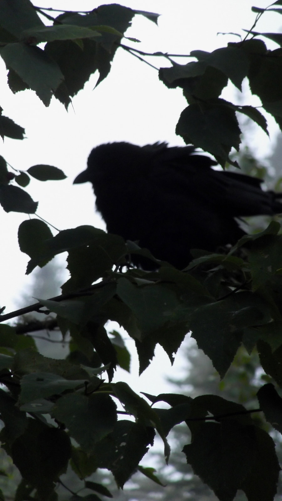
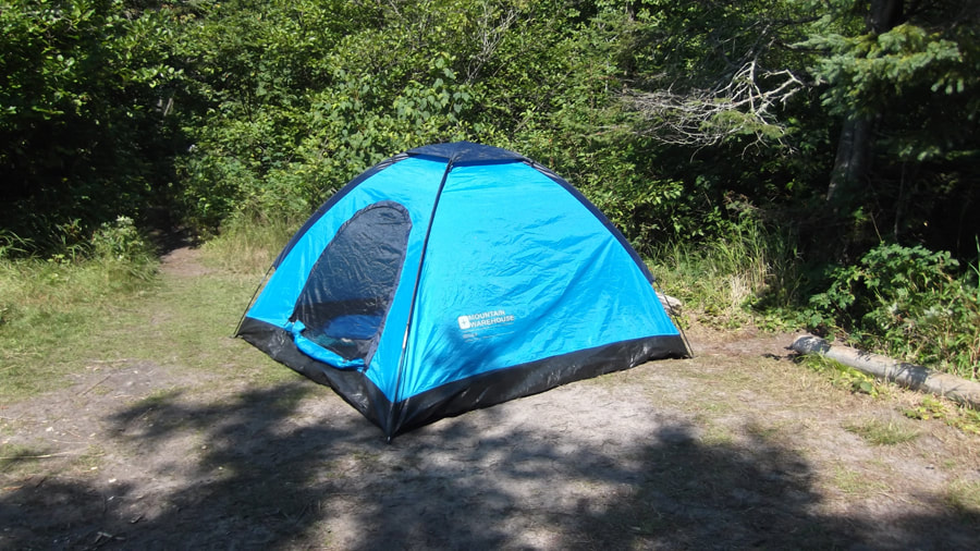
We woke up before the alarm even went off, which was set for 8 a.m. Heather was already up and out of the tent while I just lay there for a few more minutes. As I lay there a raven flew down so low that it grazed the top of the tent and landed on the picnic table. It was nice and peaceful and you could hear the sound of the water running in the distance.
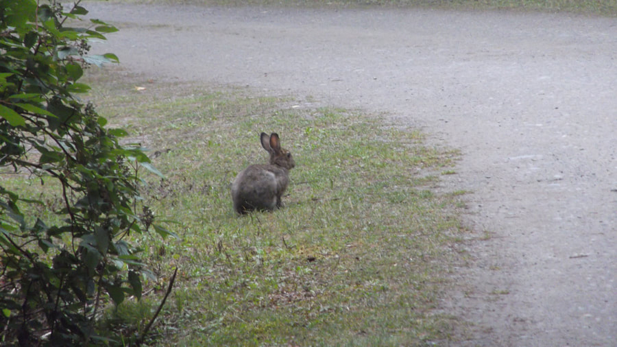
The morning was misty and a little on the cooler side. But it wasn't raining and it was supposed to warm up during the day. The rabbit that we had seen the day before was still hanging around near the campsite.
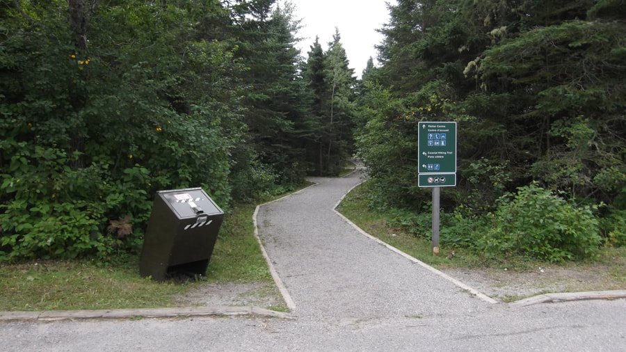
We packed up camp fairly quickly and headed over to the Visitor Center. We had been told that there was coffee there and Heather was anxious to get a cup. We parked in a spot that we figured would be fairly shady and then headed down a wide, nicely groomed path to the Visitor Center.
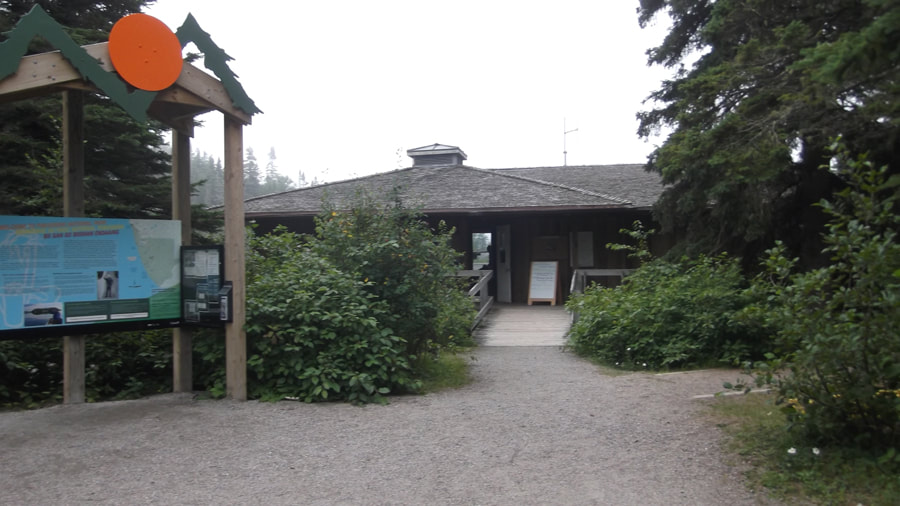
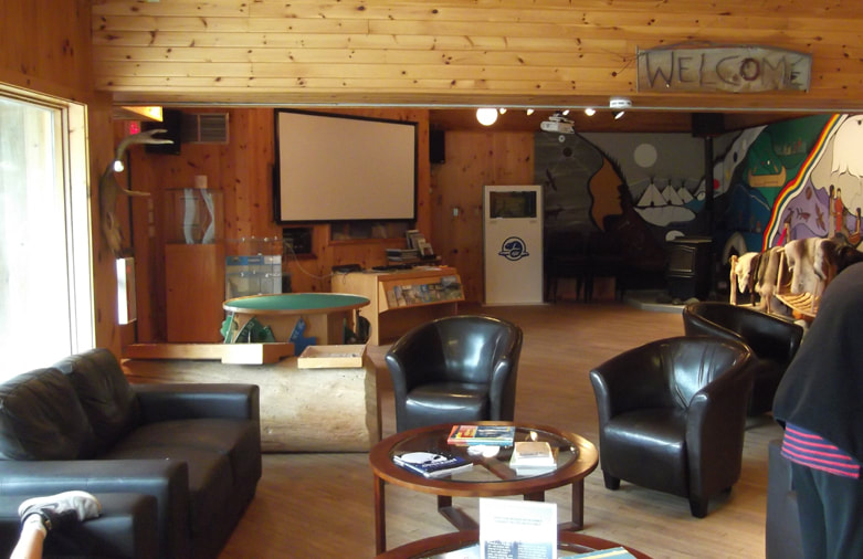
The Visitor Center was like a little lodge nestled in amongst the trees and sitting on the shore of Lake Superior.
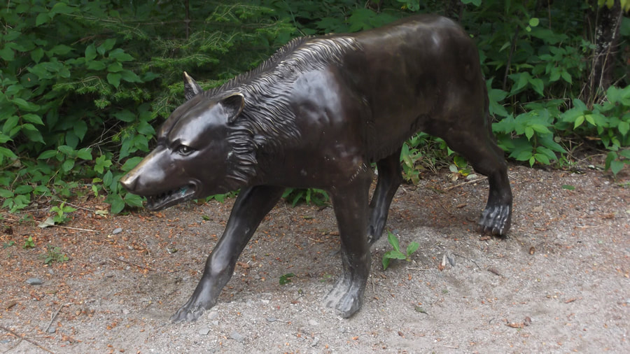
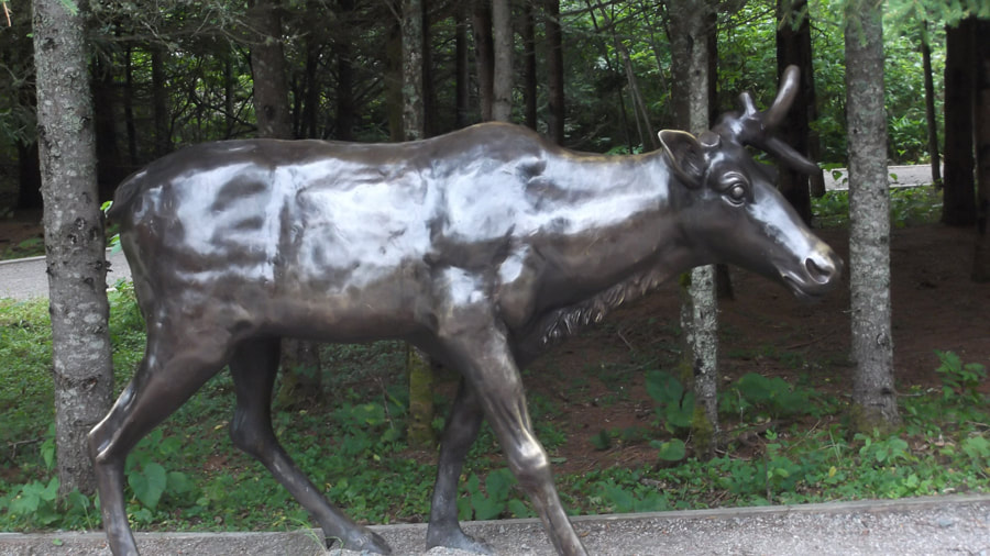
Outside the Visitor Center were some bronze statues of a moose, a wolf and a caribou.
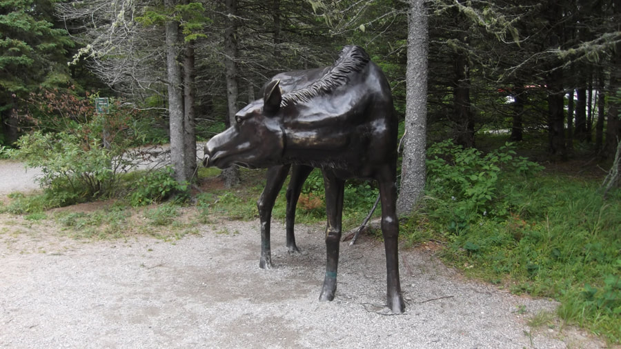
We were told that these statues were fashioned after actual animals that had been seen in the area.
The park ranger said "That is why the caribou statue has only one antler. It was made that way on purpose because the caribou that the statue represents is one that has been seen in the area with only one antler." We were told that the caribou are not normally seen in Hattie's Cove but that they are often spotted in the park much further up the trail on Otters Island.
The inside of the Visitor Center had a cozy little lounge area. There was a projector screen on one wall where they would play a presentation of a compilation of pictures taken from campers as well as from the various wildlife cameras that they have set up in various places along the hiking trails.
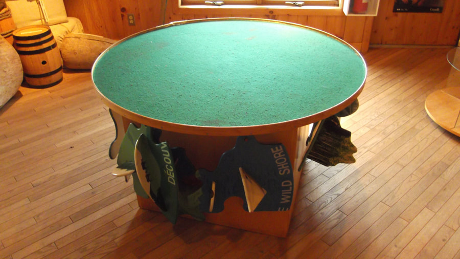
At one side was a felt covered table with wooden pieces hanging from the sides. I had wondered what it was for and then Heather figured it out. Each piece is a part of a 3 dimensional wooden map of the park.
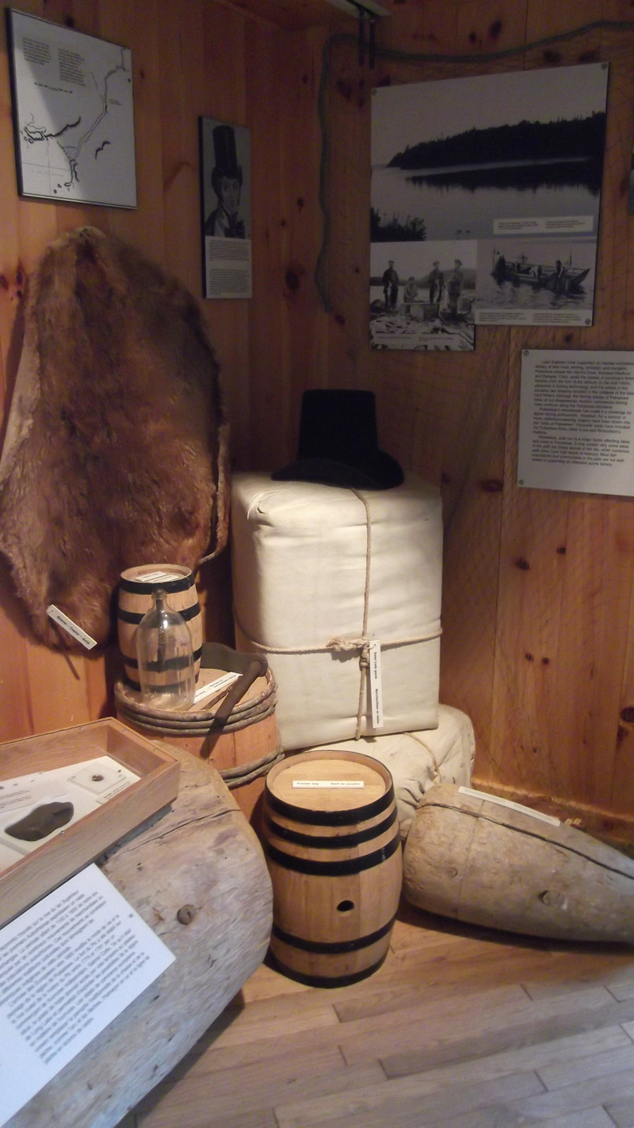
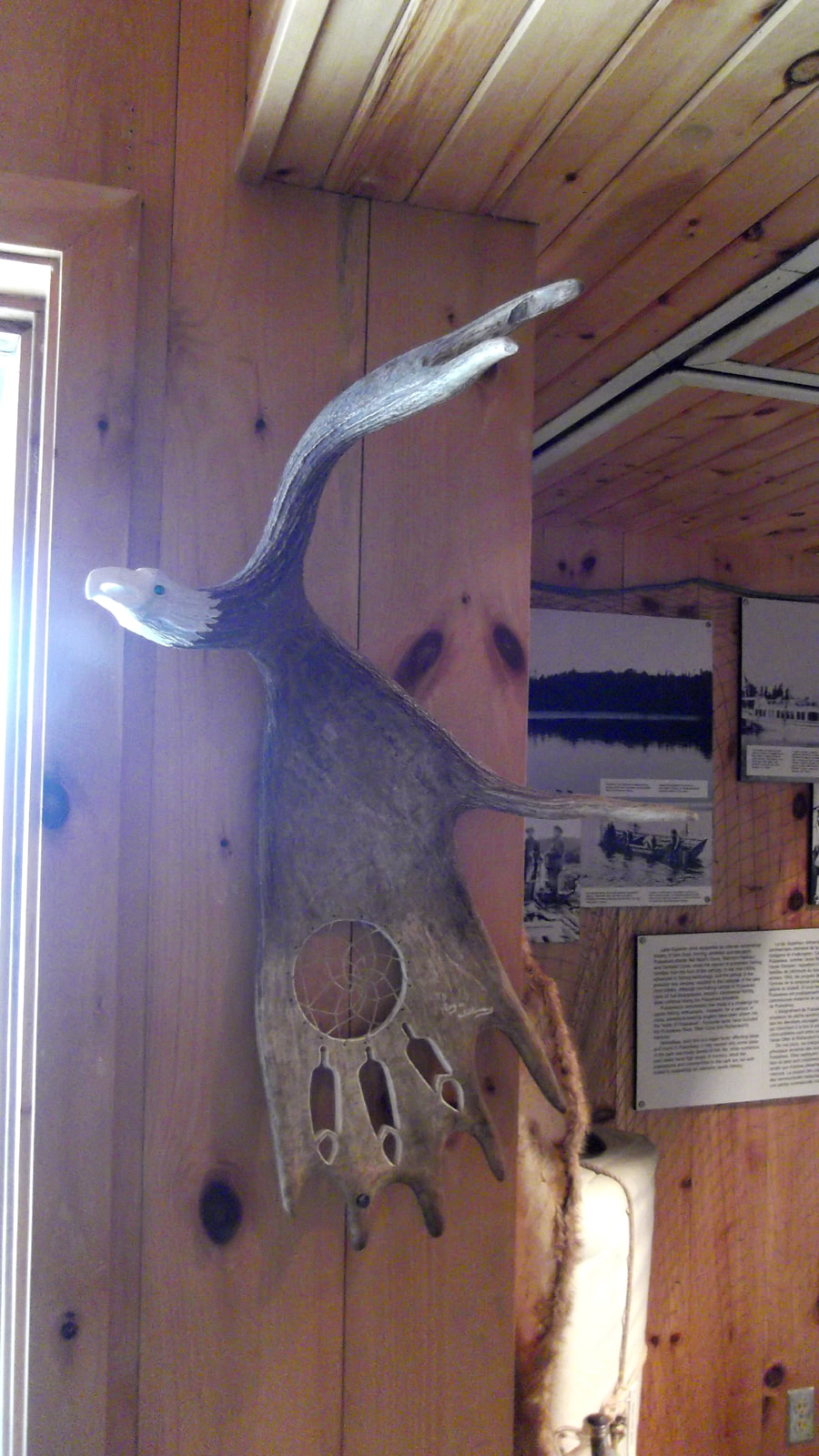
Throughout the place were displays of things like the fur trade as well as some First Nations artwork.
 |  |
Once again we tried to get a wifi connection so that we could tell our family that we had arrived safe. However, we were disappointed to find out from the lady at the desk that the park does not have, and can not get, an unlimited data plan. So by the time the end of the month rolls around their data is usually all used up. Since it was August 21st the parks data was probably all used up for the month.
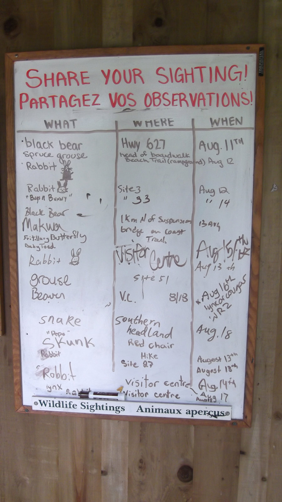
We also learned that the park did not have any raccoons. We were very surprised by this because we are so used to having raccoons in all the other parks we had been in. They figure that eventually as habitat for raccoons starts to disappear in other areas that they will eventually start moving into the area. But for now there are none living here. According to their observation board though, there is plenty of other wildlife to be seen.
We also learned that the park did not have any raccoons. We were very surprised by this because we are so used to having raccoons in all the other parks we had been in. They figure that eventually as habitat for raccoons starts to disappear in other areas that they will eventually start moving into the area. But for now there are none living here. According to their observation board though, there is plenty of other wildlife to be seen.
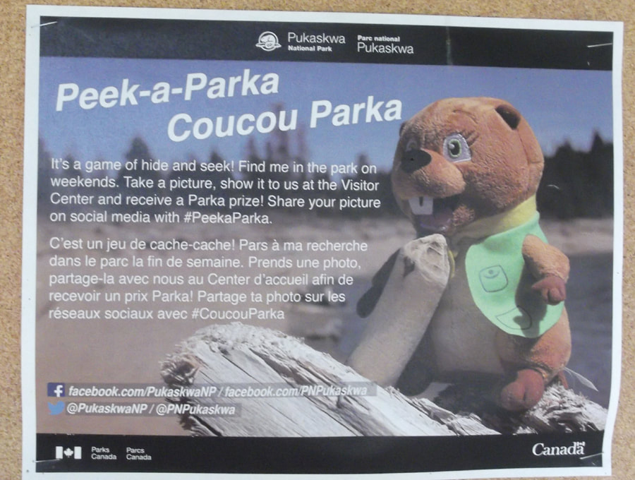
Once Heather had finished her coffee we headed out the door. On the bulletin board just outside the door was an interesting poster about an activity that I thought would be fun for kids (and kids at heart). On weekends they hide this toy beaver somewhere in the park and you have to go find him and take a picture of him. I almost wished that I would be around on the weekend so that I could look for him too. But today was Monday and we would be on our way back home before the weekend rolled around.
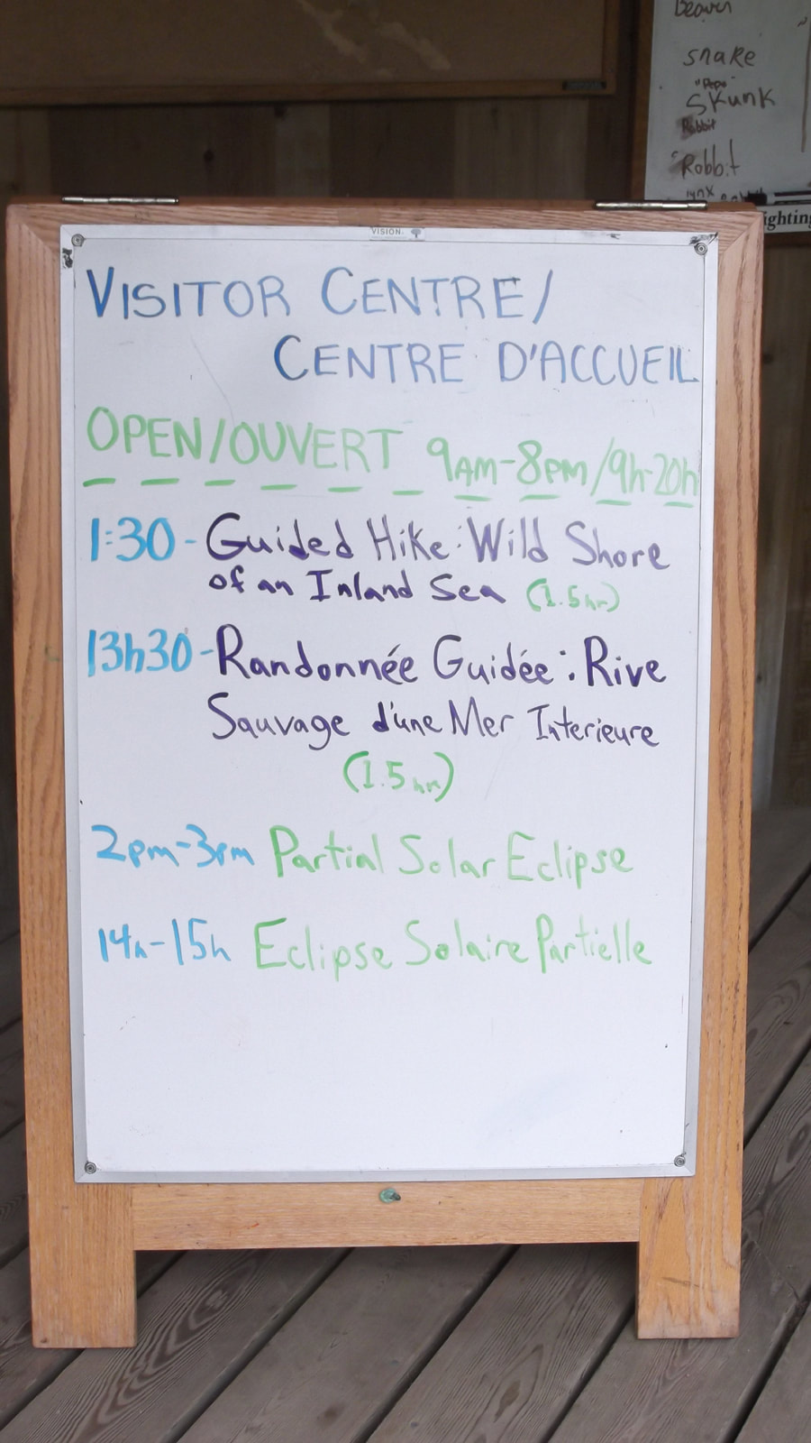
Another bulletin board just outside the door let us know that there was to be a partial eclipse between 2 pm and 3 pm today. We figured that we would still be hiking at that time and that we might be able to see it if we were not in an area where they sky was blocked by trees.
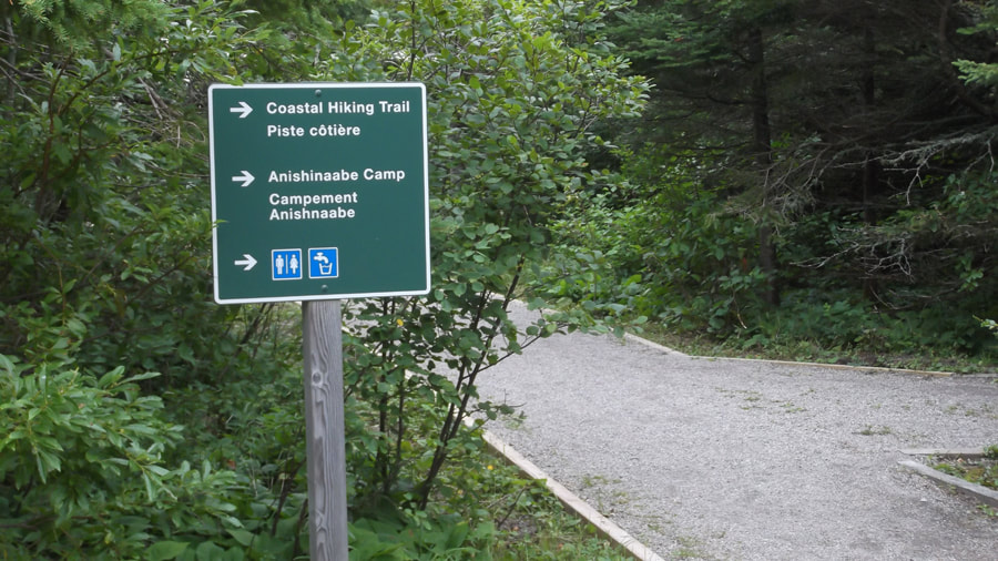
So at about 11 a.m. we finally started on our backpacking trip down the Coastal Hiking Trail.
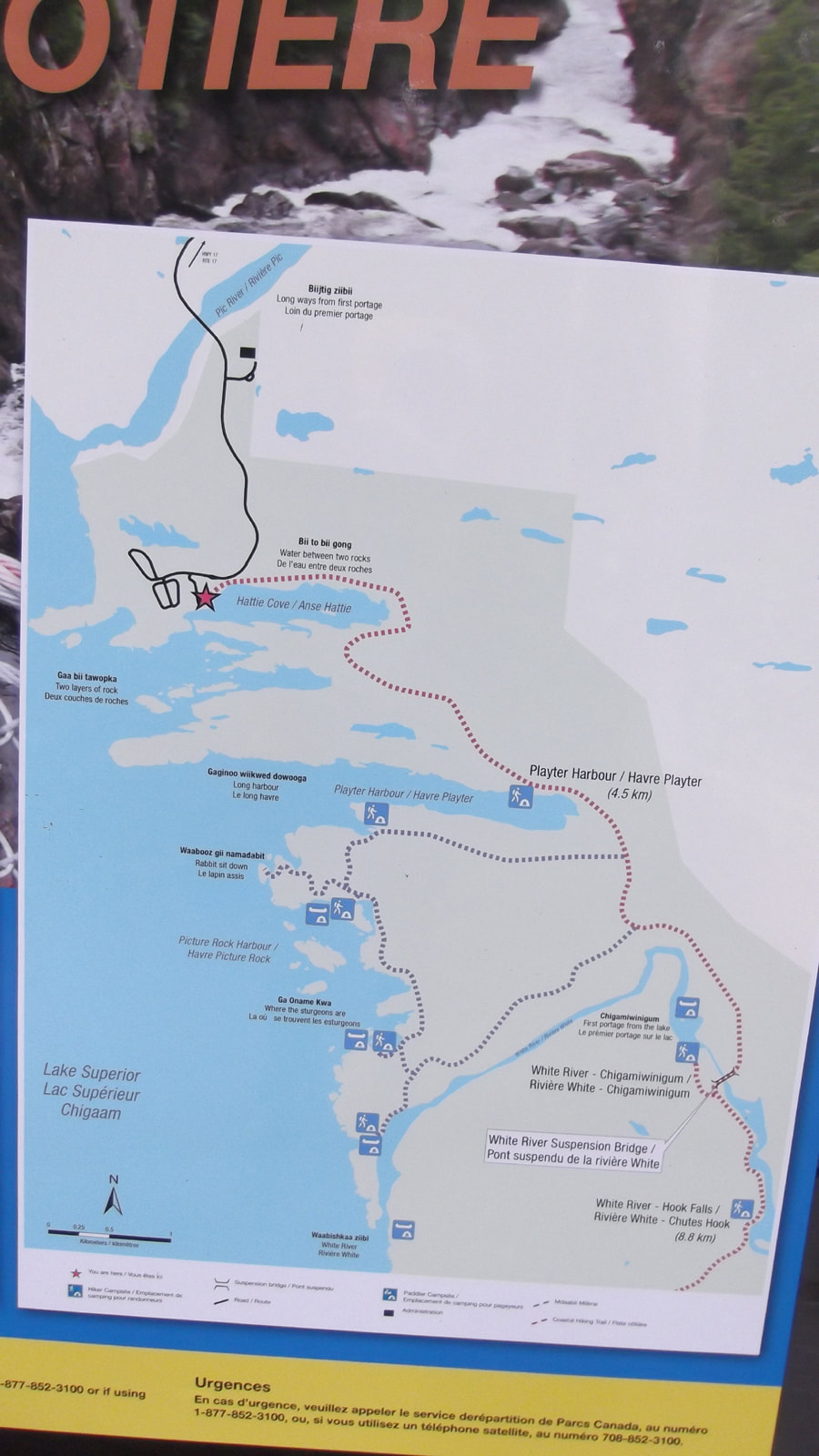
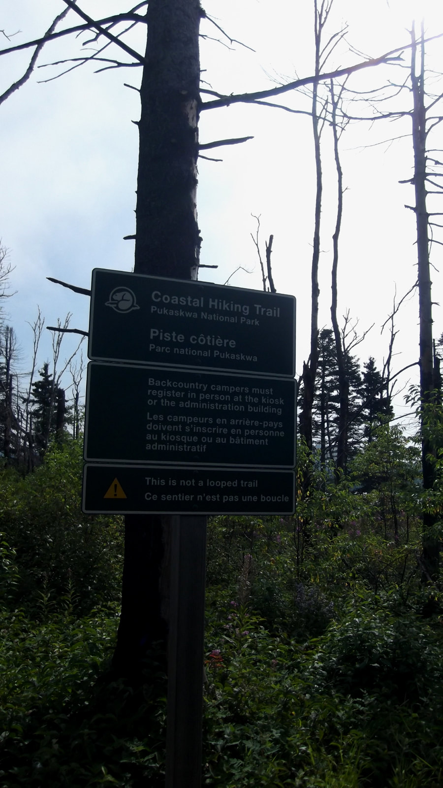
The trail head starts with a big sign that has a map that outlines the trail and a bit of a description of it.
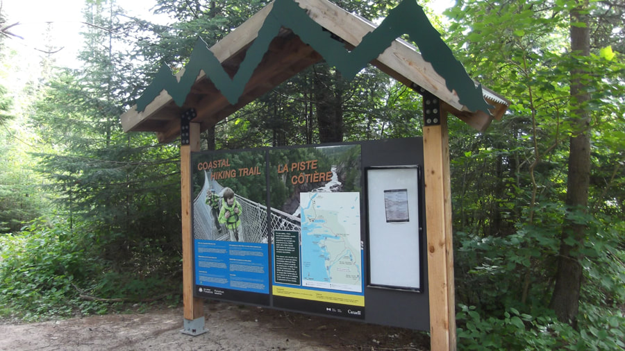
It also showed a picture of a couple of kids on the suspension bridge. The suspension bridge was the main feature that we had come to see. We were looking forward to getting to it. But the way we had the trip planned we would not be getting to it until the next day.
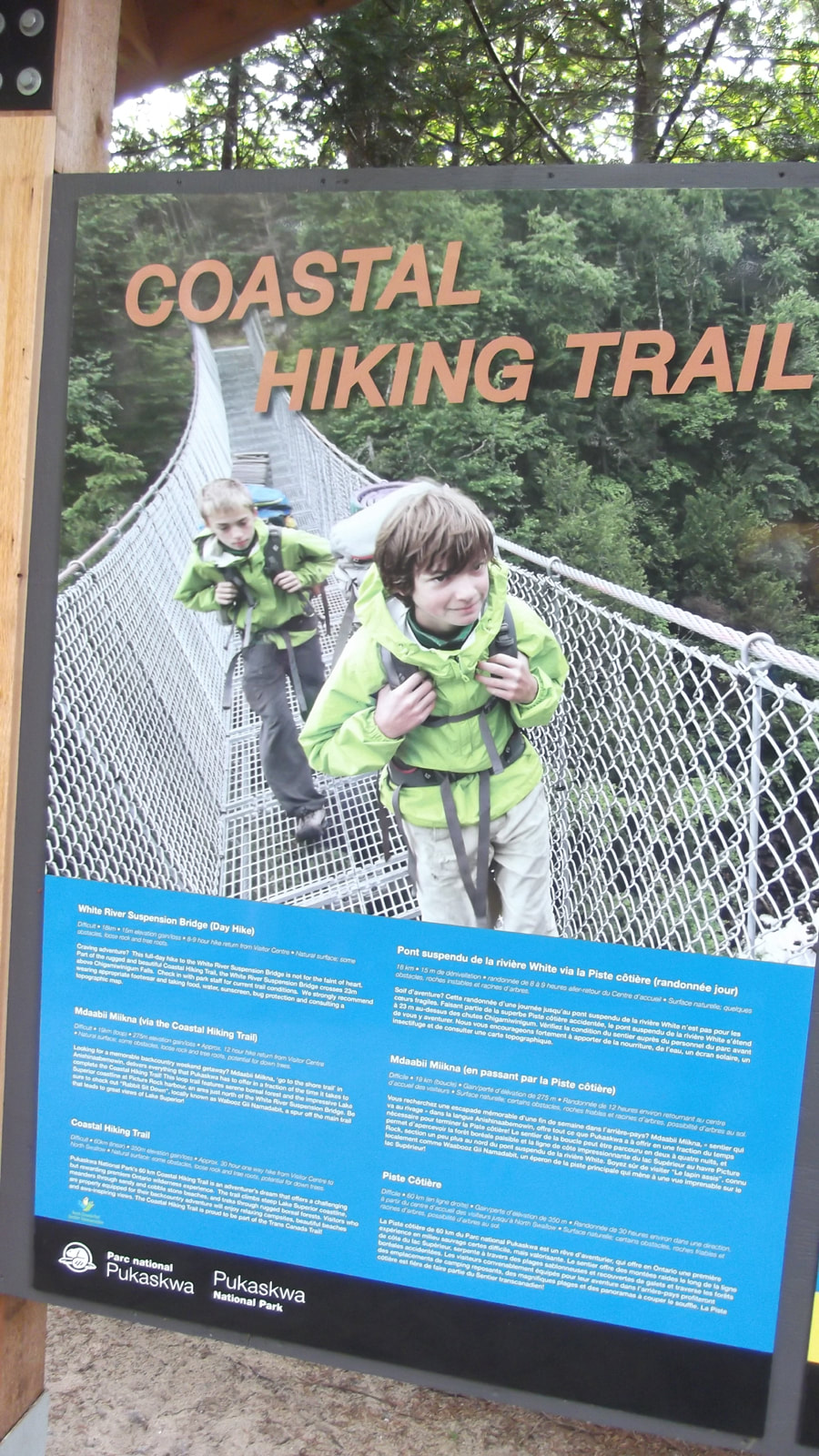
Today we would be hiking 4.5 km to the first campsite at Playter Harbour. We were told it was one of the prettiest sites. The second day we were going 3.5 km to the site at Chigamiwinigum and would pass the suspension bridge along the way.
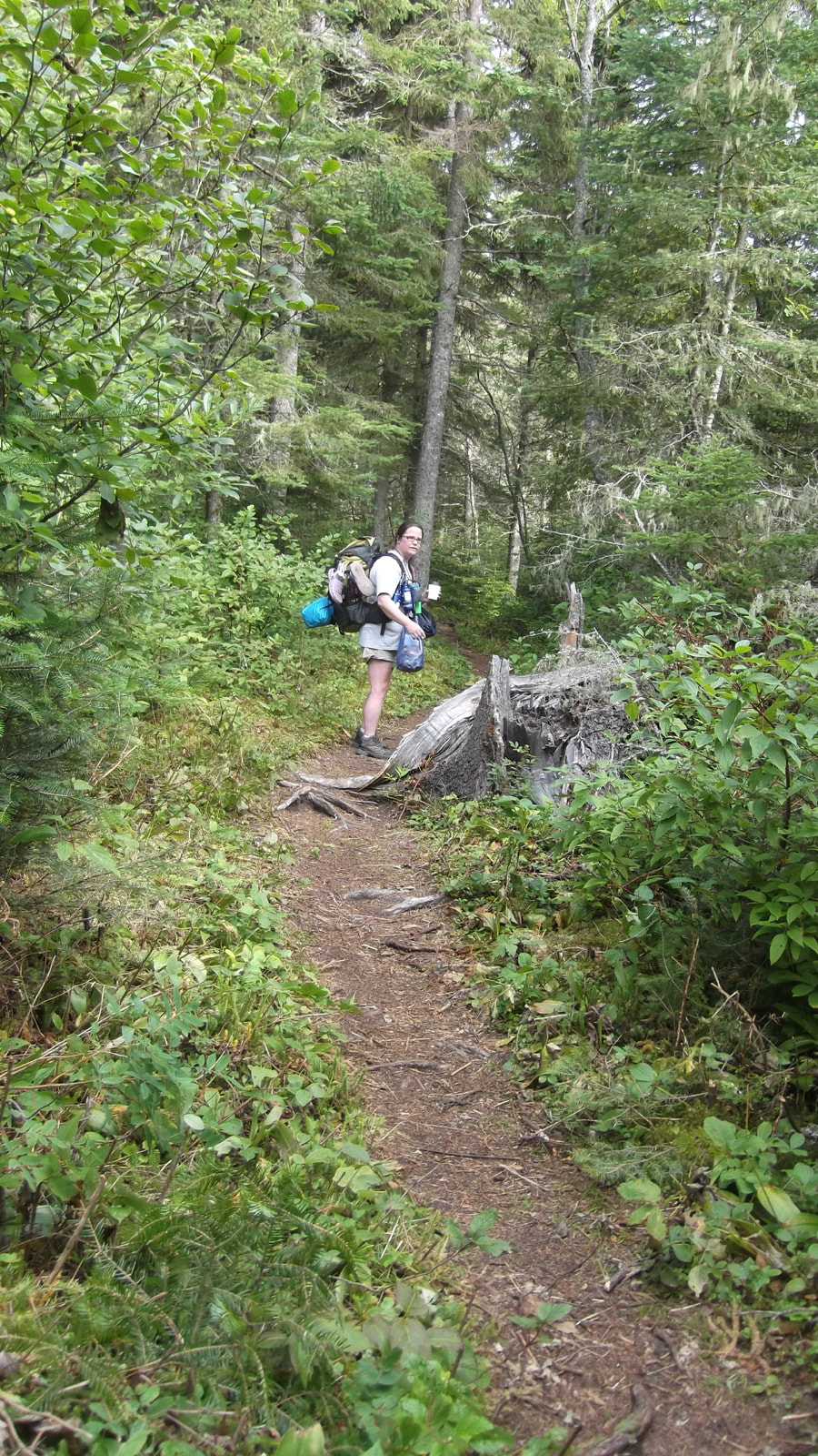
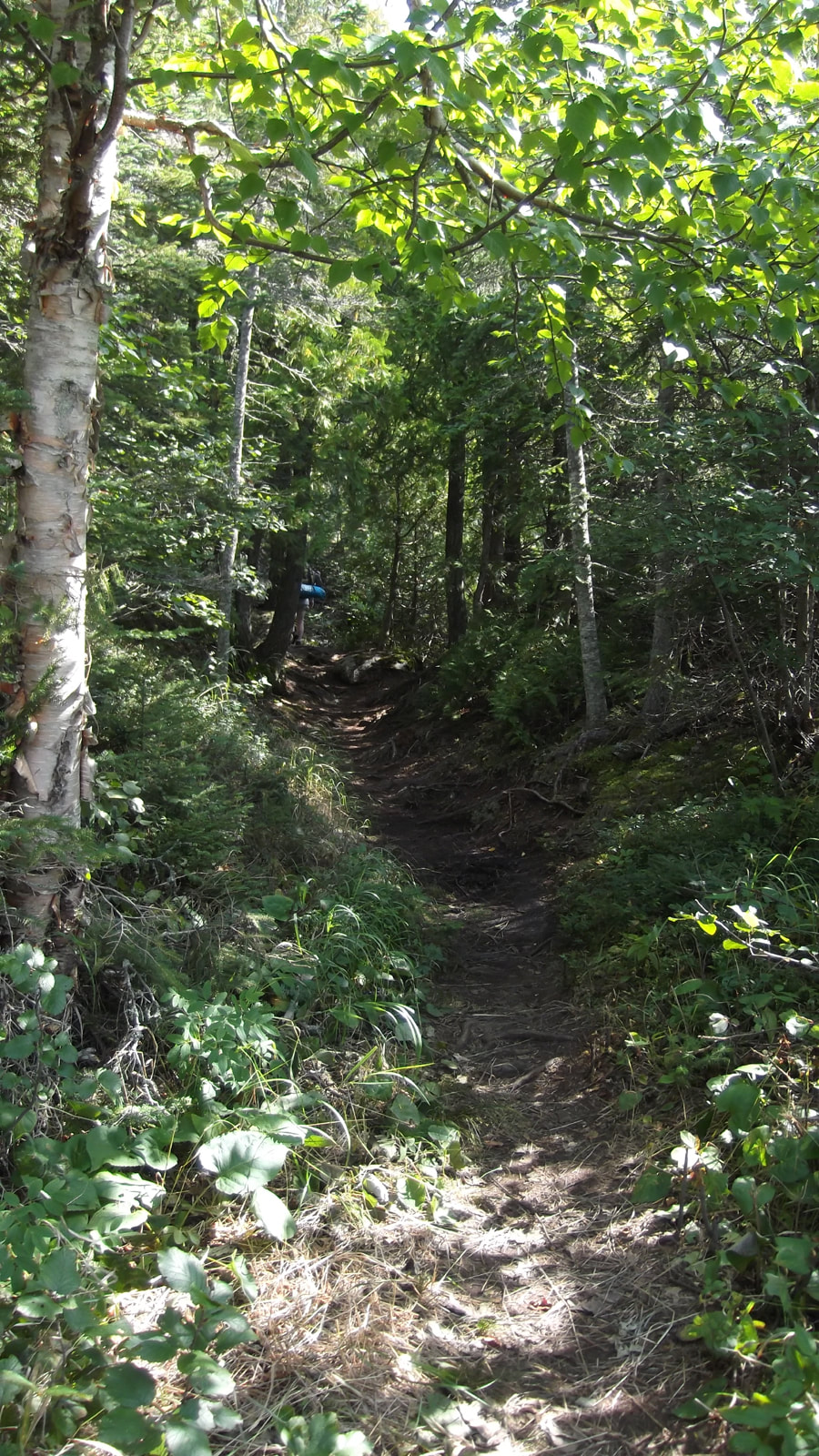
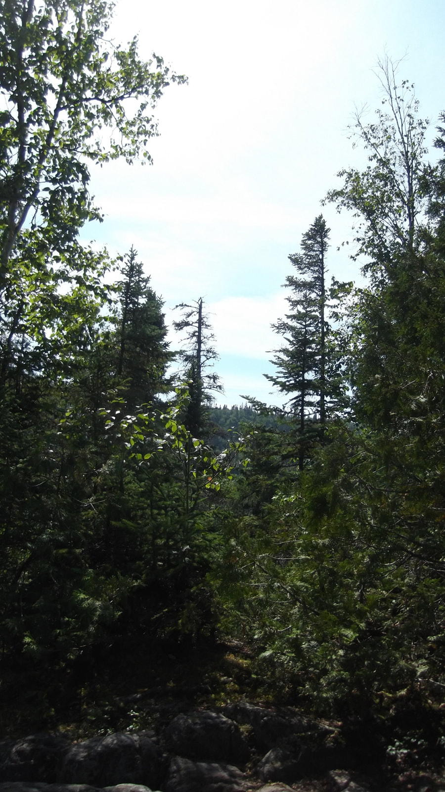
The trail started off with a well worn, flat and wide path through the trees. If the trail was going to be like this all the way then we would be laughing. But we knew it would change. Especially if this was the 3rd most difficult trail in Canada.
All of a sudden the trail opens up unexpectedly to a view of some old, dead, burnt trees.
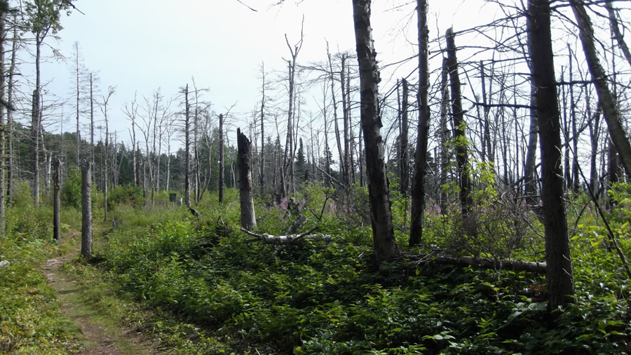
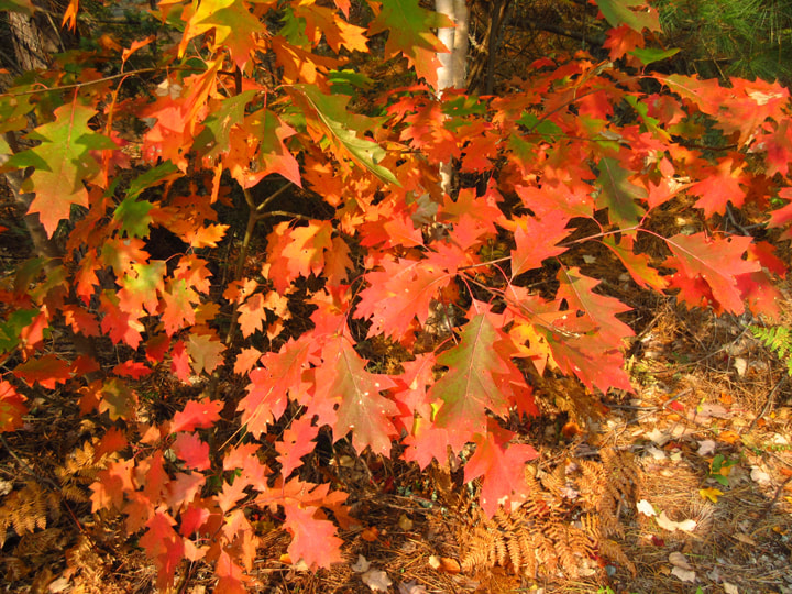
Despite the fact that there were so many dead trees, the view was still pretty.
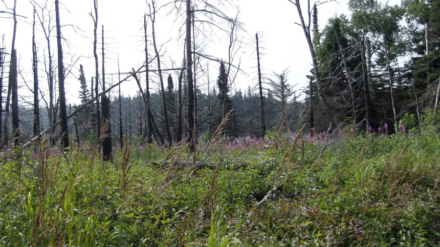
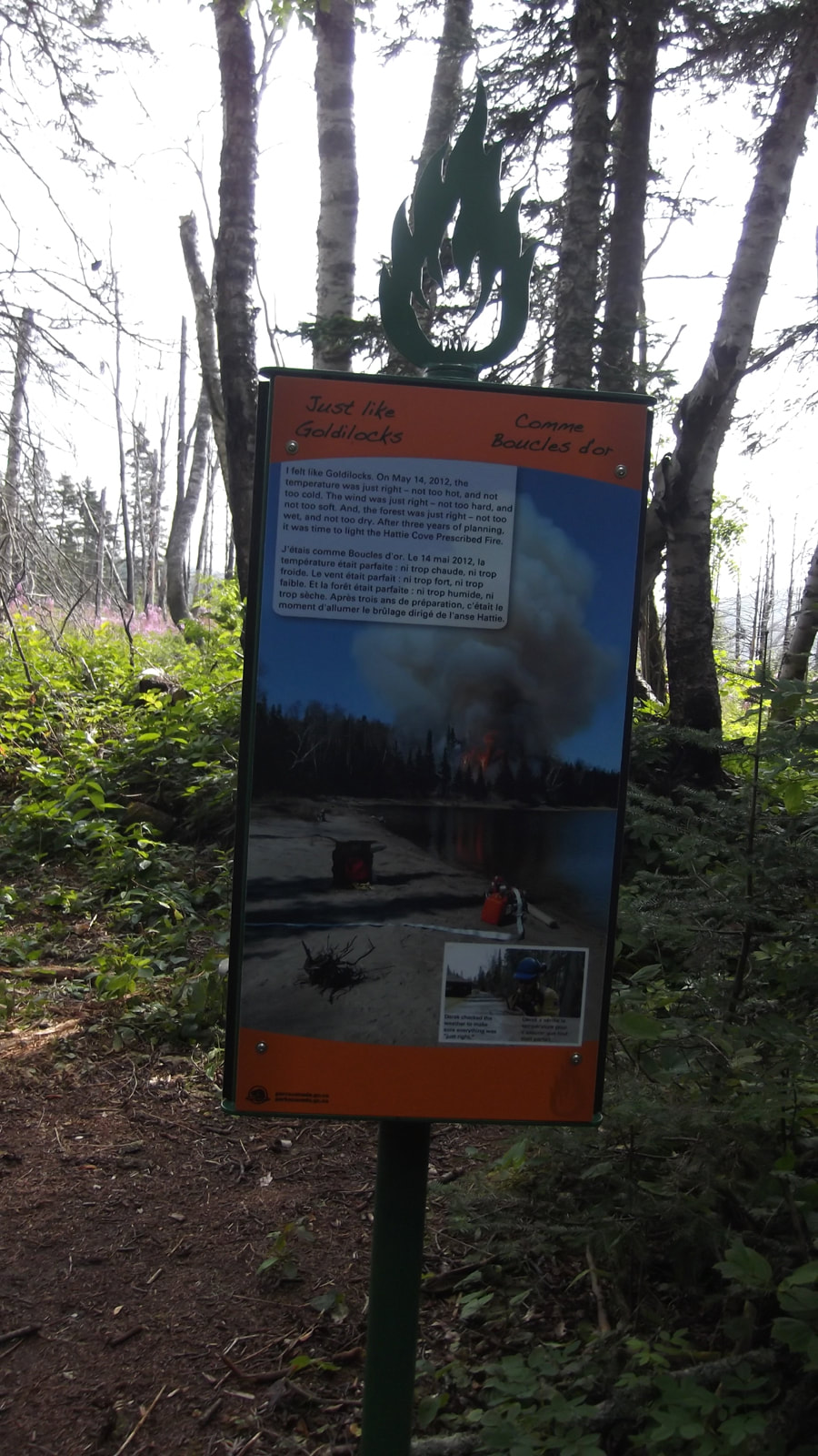
Then we came across the first of a couple of signs that explained why there were so many dead trees. In 2012 they had done a "prescribed burn" in this area. We had seen the signs about it at the office (kiosk) the day before but we didn't realize that it had encompassed all of this area too.
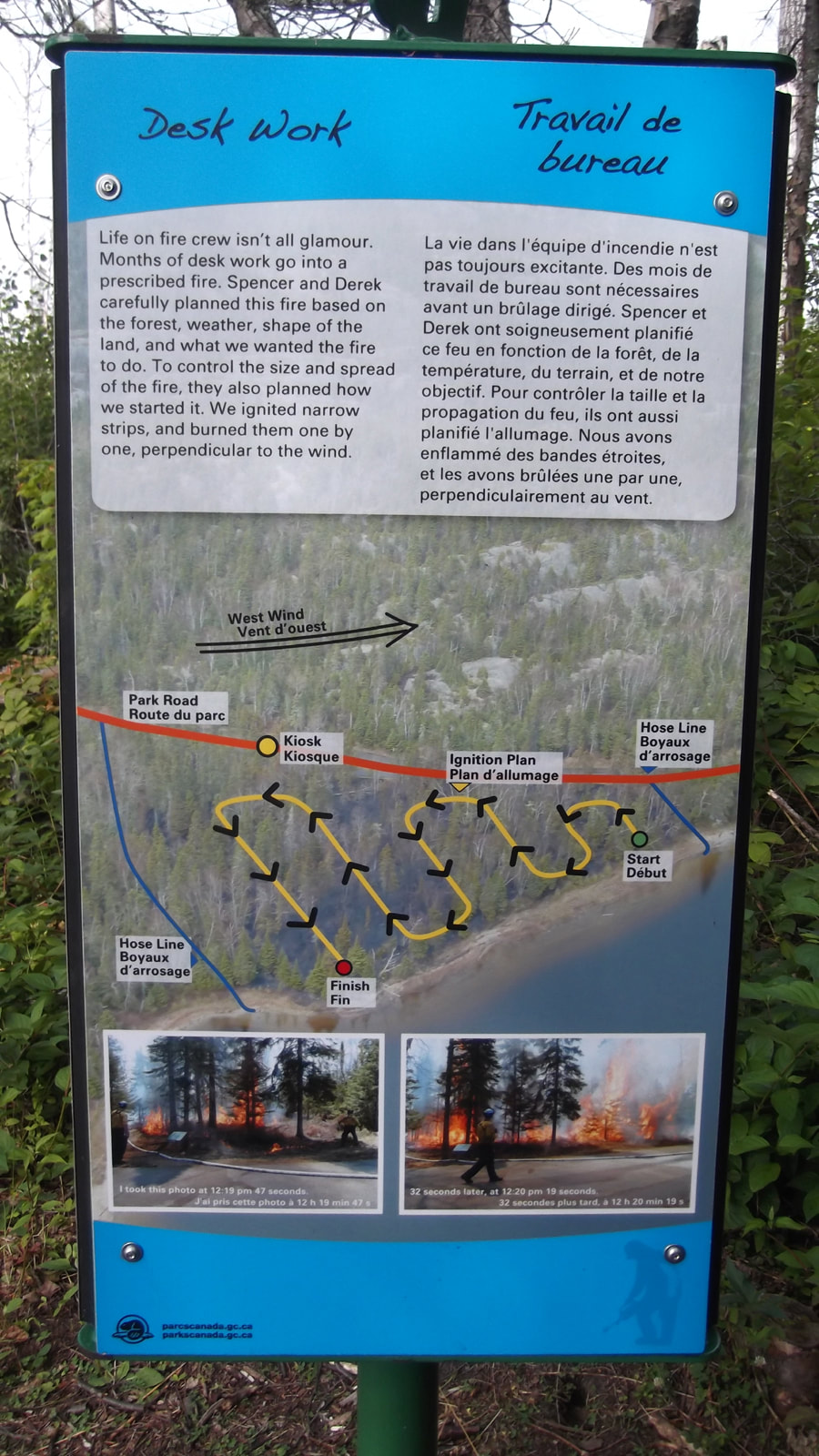
Another of the signs showed the path that the fire had taken. It was fairly interesting to read about.
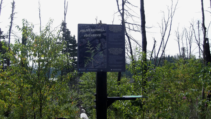
In one spot they has a little spot where you could take your phone and place it on a shelf and take a picture to send to their research center. They collect these pictures and watch how the area changes throughout the years after the fire. We just wanted to get going so we didn't end up sending a picture. Besides, my phone was packed up in a water proof container in my pack and I didn't want to dig it out.
Soon we came to the sign that reminded us that we were going into the back country and that this is not a looped trail. So what ever distance we did going forward we would have to do again coming back. We were beginning to feel like we were finally on our way and leaving civilization behind us.
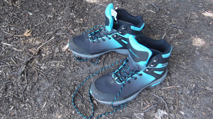
When you are backpacking you sometimes spend a lot of time looking down at your feet. For this trip I had just bought a brand new pair of hiking boots from Mountain Warehouse because my old pair fell apart. I didn't have much time to break these in so I was hoping that I didn't end up with blisters. I liked the looks of them and they were comfortable and looked to be fairly water resistant. So this was going to be a good test run for them.
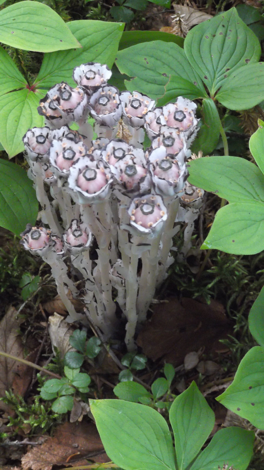
As I am looking down at the trail I spot some Monotropa Uniflora, otherwise known as Ghost Plant or Indian Pipe.
I thought it was a type of fungus but upon further research I found out that it is actually a type of flower that is white and doesn't have any chlorophyll. But it's really a flowering plant-- in the blueberry family! These plants can grow in dark areas because they are not dependent on light for photosynthesis. Instead they are parasitic on the trees and use the trees photosynthesis process as their food source. (see more here: http://botit.botany.wisc.edu/toms_fungi/oct2002.html)
I thought it was a type of fungus but upon further research I found out that it is actually a type of flower that is white and doesn't have any chlorophyll. But it's really a flowering plant-- in the blueberry family! These plants can grow in dark areas because they are not dependent on light for photosynthesis. Instead they are parasitic on the trees and use the trees photosynthesis process as their food source. (see more here: http://botit.botany.wisc.edu/toms_fungi/oct2002.html)
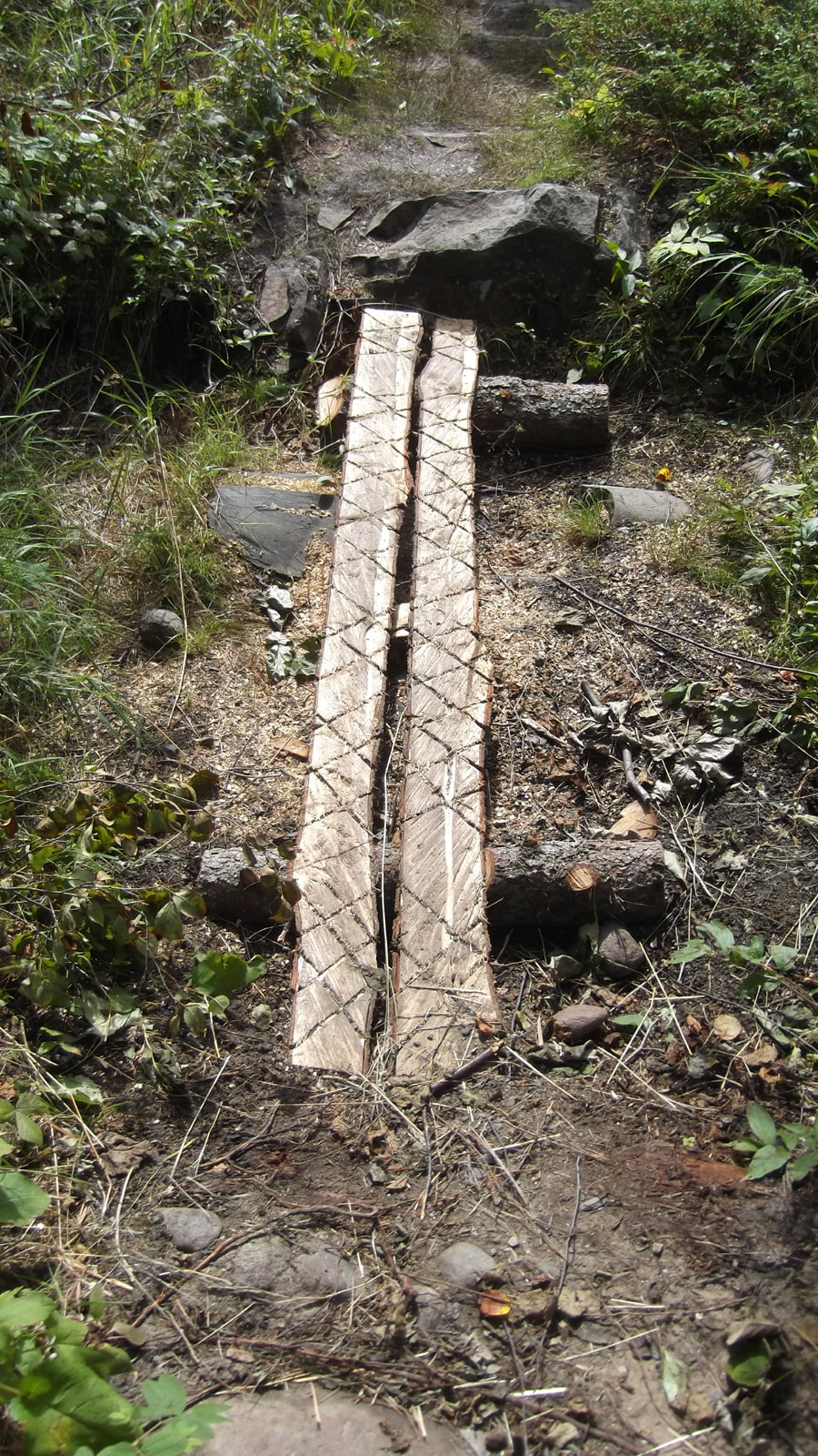
One of the first little foot bridges we came to was made of some cut logs and someone had gone the extra mile to cut some cross hatches in them for extra foot hold. You don't usually see that on a hiking trail.
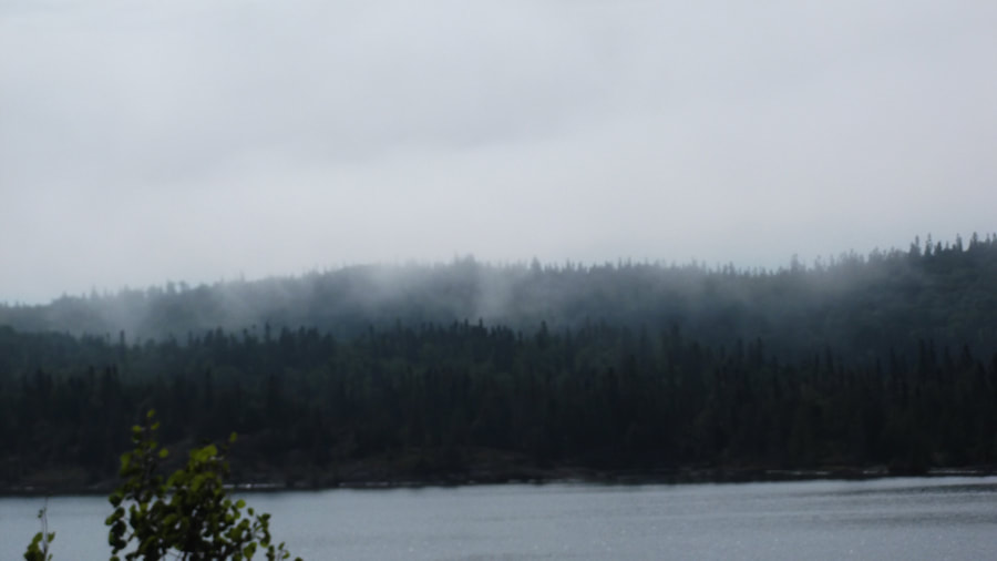
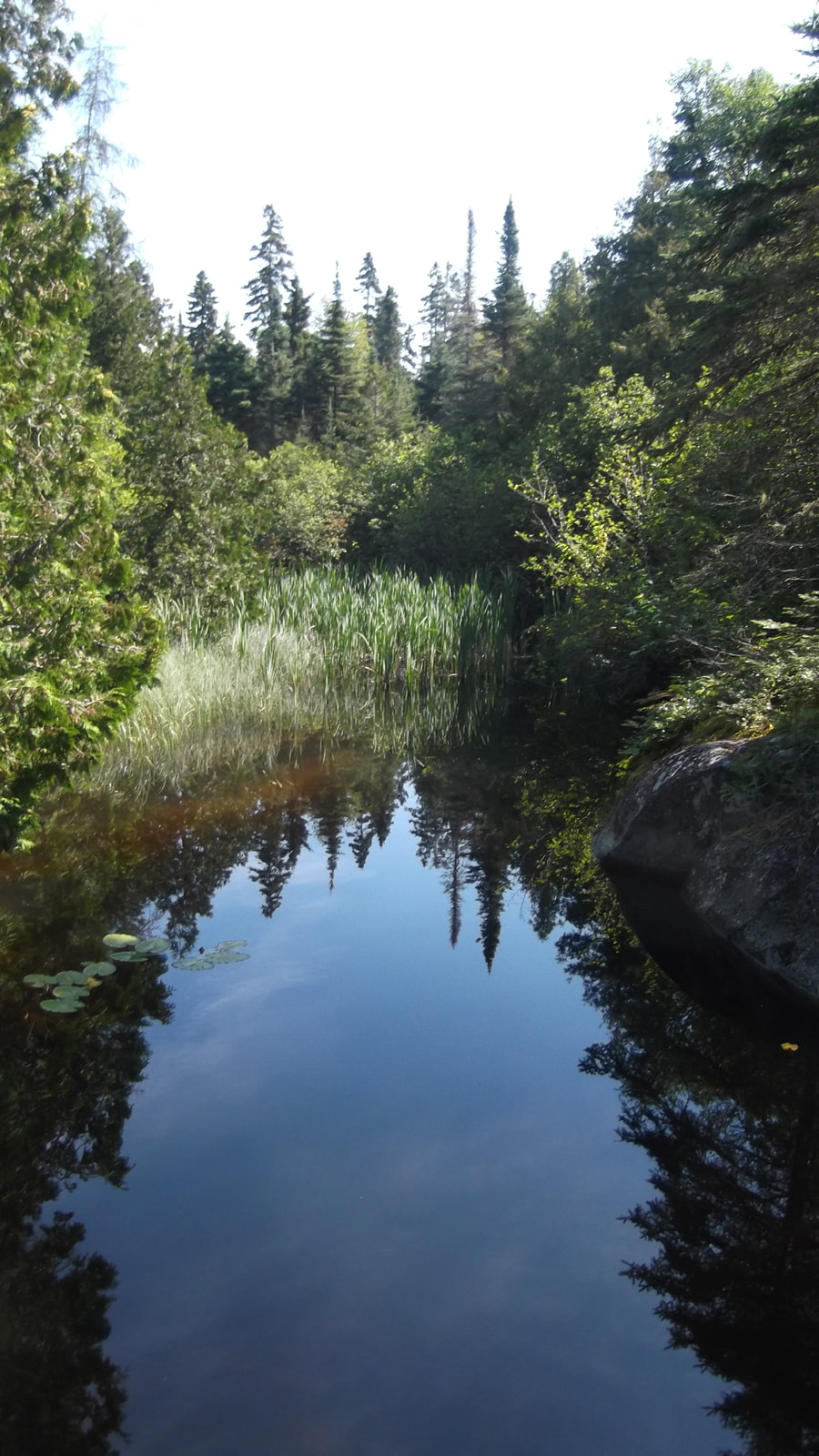
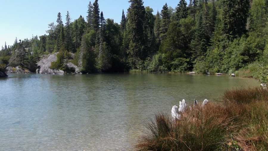
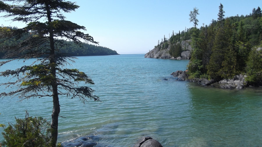
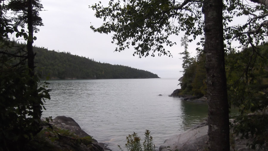
Soon we got to a section where you could see the "coastal" part of the Coastal Trail. It was beautiful.
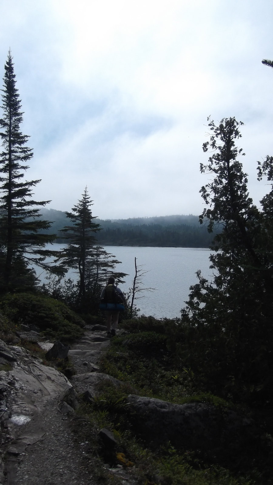
It was particularly beautiful with the grey morning mist rolling over water and the tops of the trees.
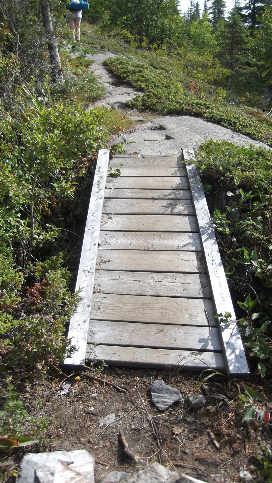
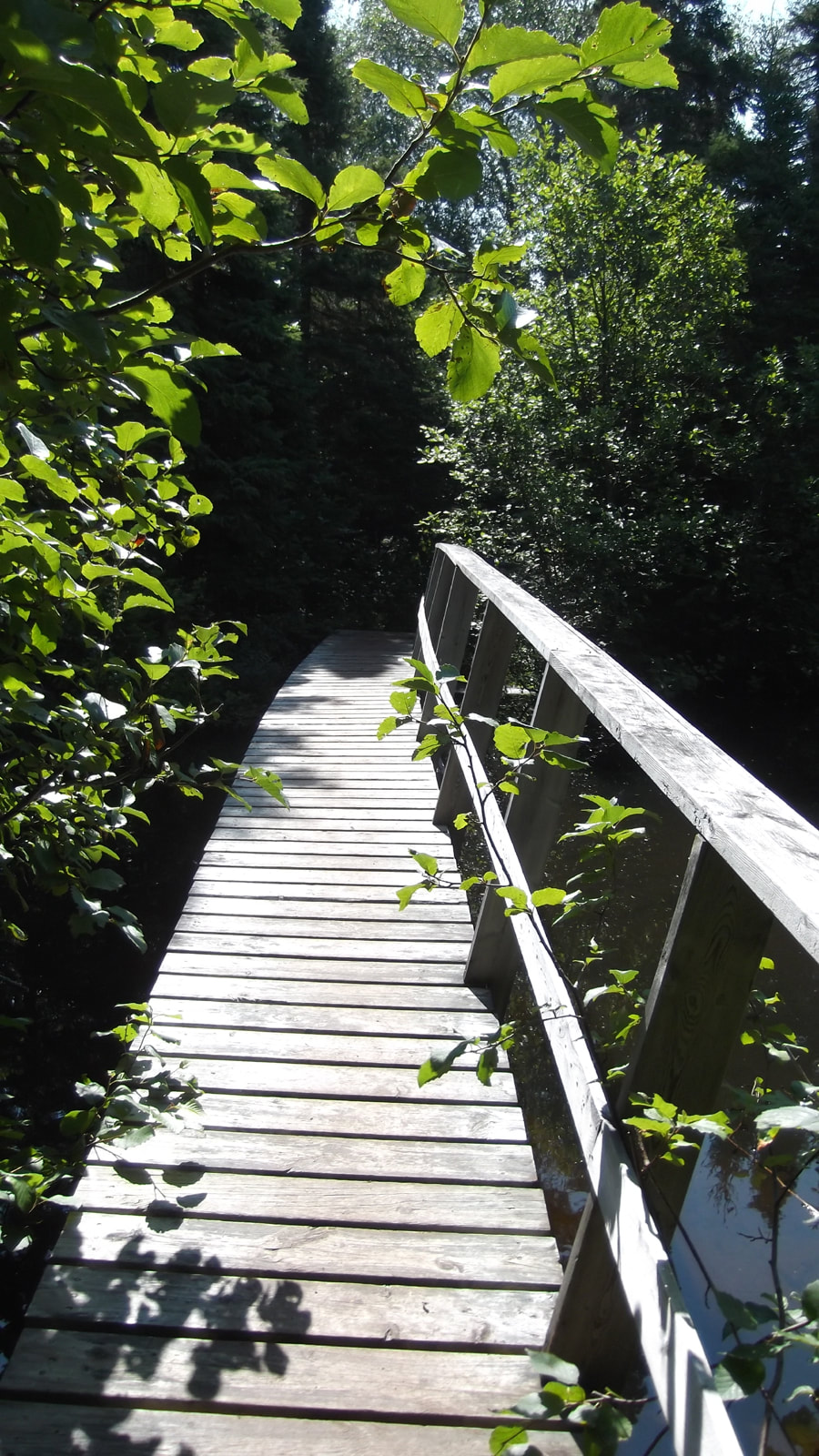
The trail along the coastline was fairly rocky but even here they provided a boardwalk section over one of the crevasses. So far we felt like we were being spoiled on this trail.
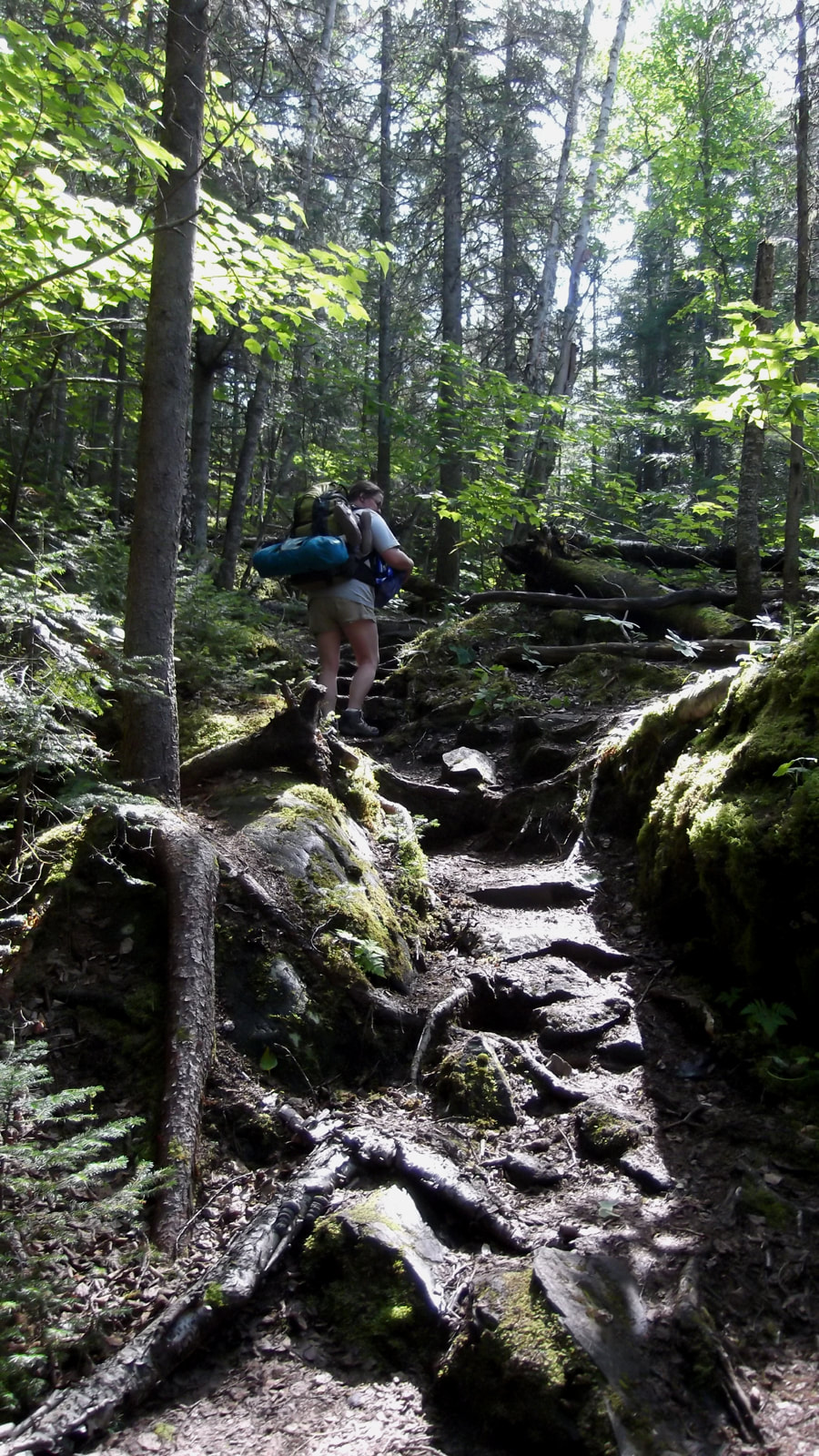
But just so that we didn't get lulled into a false sense of pampering, the trail would be sure to throw in some rock and root filled obstacles to make it more of a challenge.
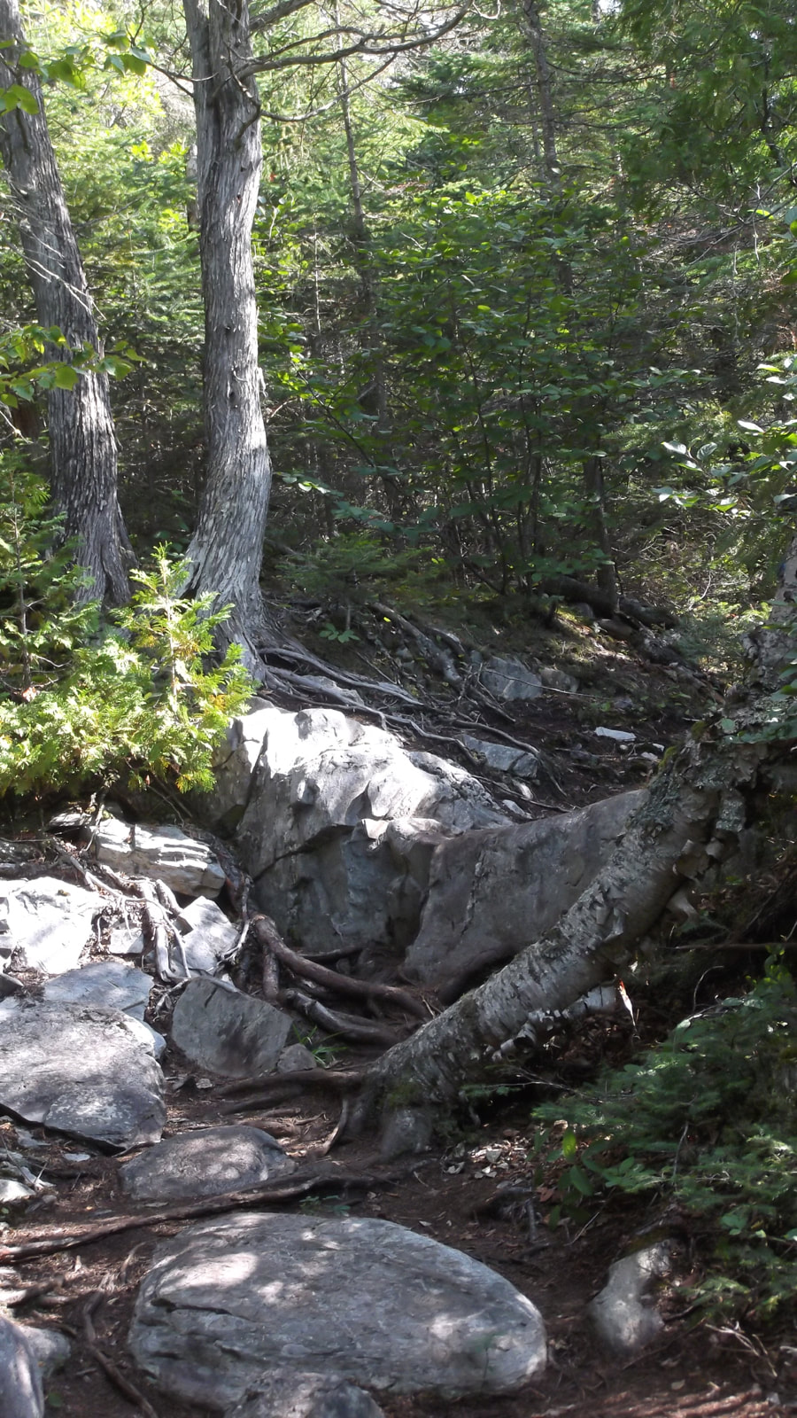
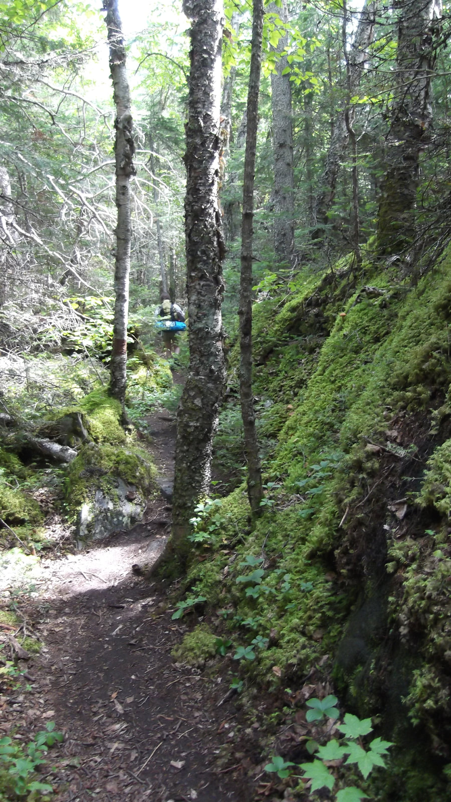
And the trail started to get narrower and less "groomed".
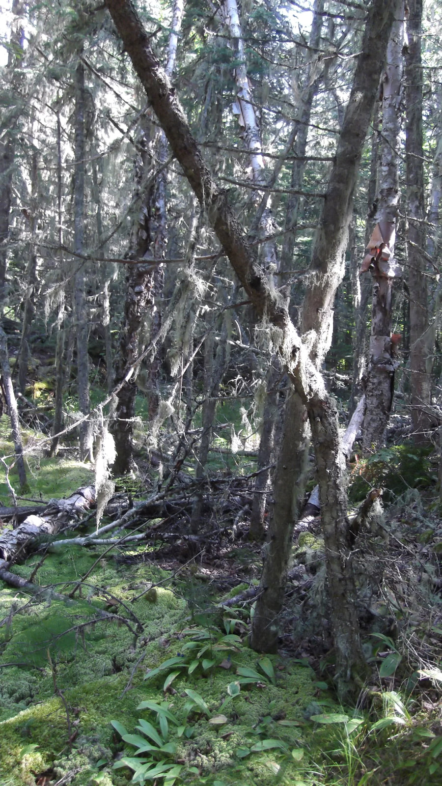
One thing we noticed was that there was quite a bit of moss everywhere. It lined the sides of rocks ....
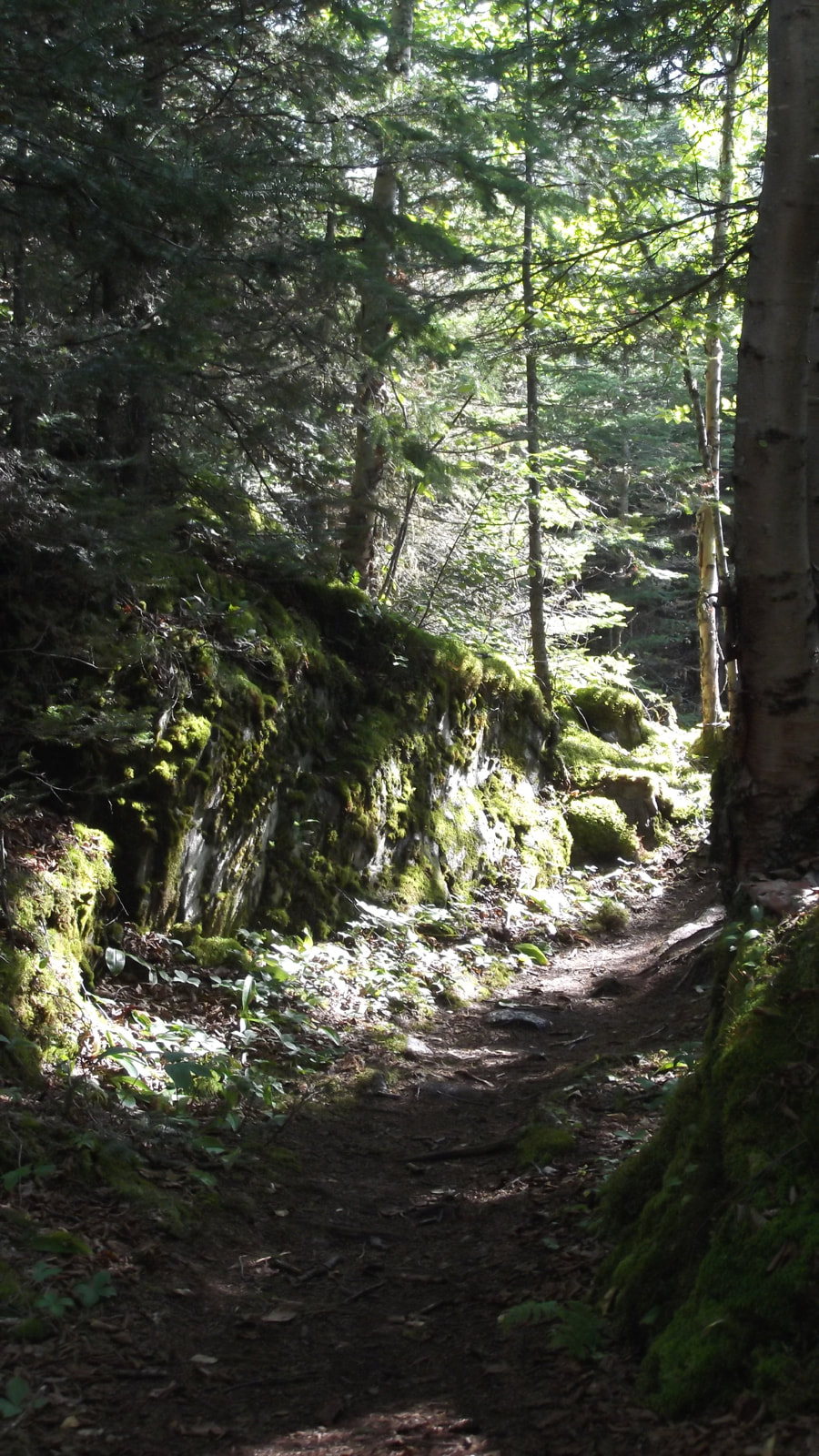
....and it hung like tinsel from the branches of trees.
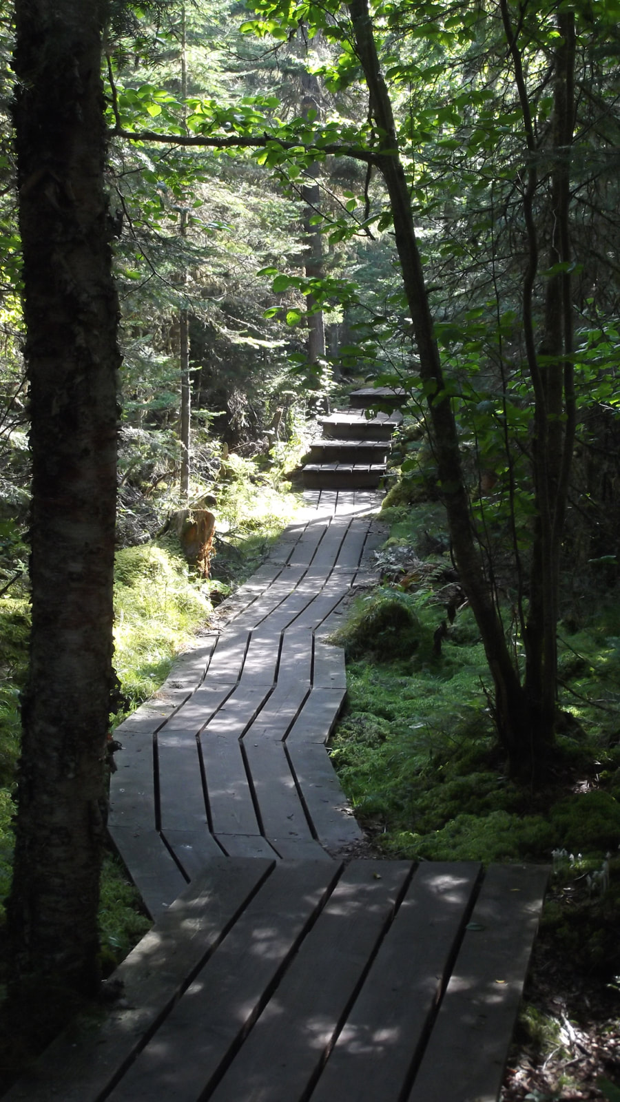
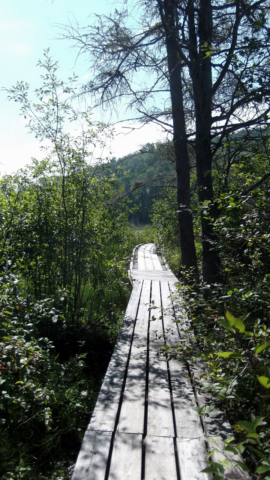
There were a number of little boardwalks throughout the woods. I imagine that in the spring it gets pretty wet here. Some of these boardwalks even had some stairs, which is also unusual compared to most other trails we had been on.
By this point the sun had come out and the weather was nice and warm. It had turned into a beautiful day. We came to a quaint little bridge and we knew that we were close to the marsh. I don't know why there was a railing on one side of the bridge and not on the other.
On the side with no railing the view was nice enough.
But on the side with the railing the view was much nicer. You can almost make out the start of the marsh from here. I was getting excited because I love to go through marsh boardwalks.
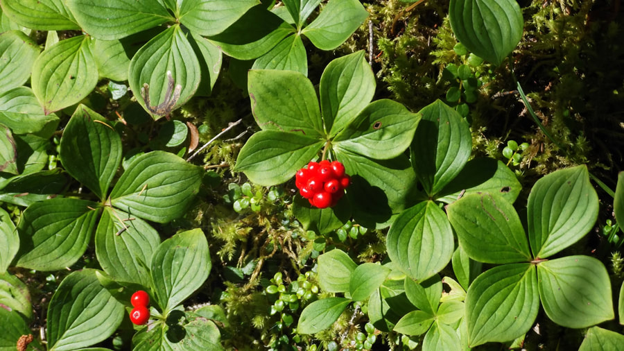
But we still had to go through some more trees first. There were lots of bunchberries (not edible) everywhere.
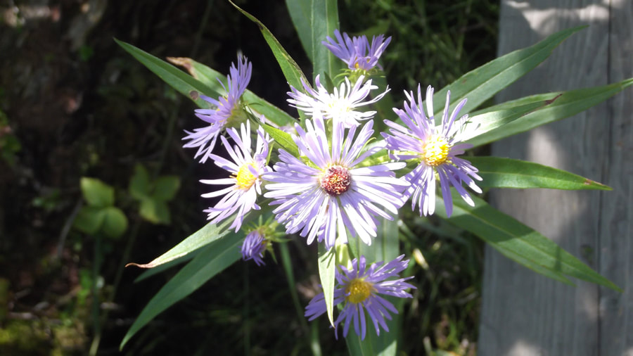
And Purple Asters were a pretty common sight here too.
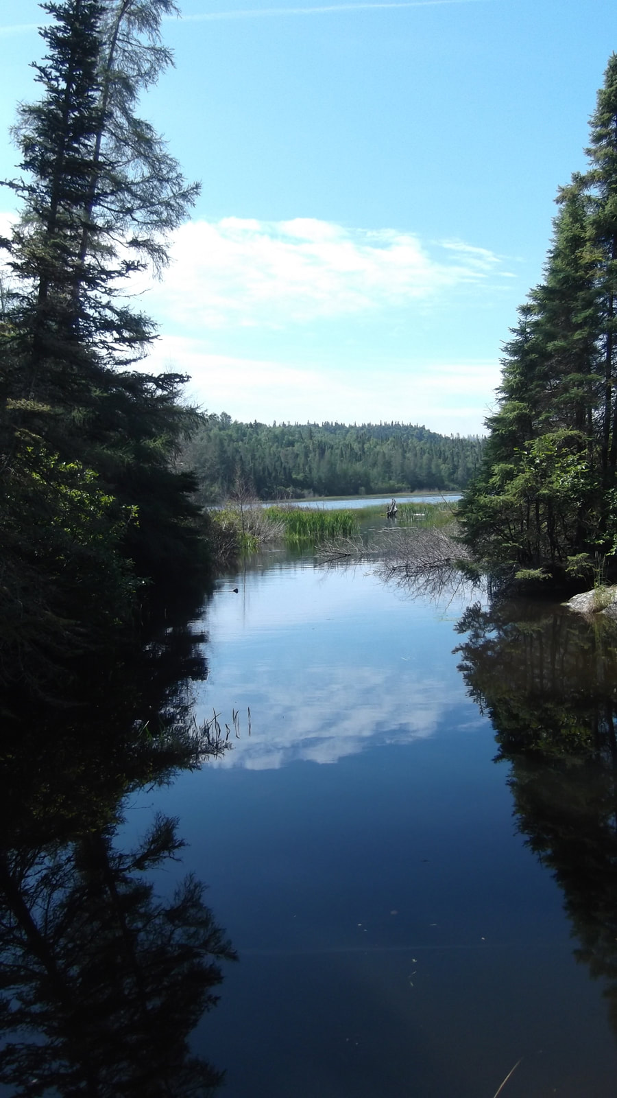
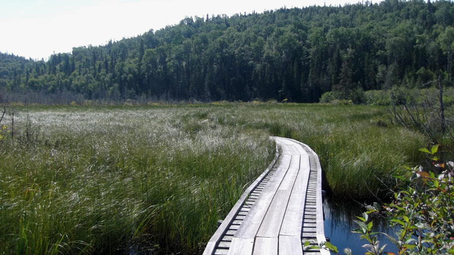
It wasn't long before the trees cleared and the open sky of the marsh appeared. I was hoping that we would see some interesting birds or animals here.
The marsh boardwalk was long and winding. We were warned during orientation that too much weight in some areas will cause the boardwalk to sink into the water as you walk over it. So, as suggested, Heather and I kept our distance from each other while travelling over it so that we wouldn't sink in to the water and have to do the rest of the day in wet hiking boots.
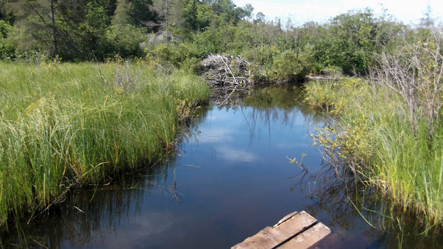
We didn't really see much in the way of birds or animals. We figured that at this time of day there are probably too many noisy people passing through on their way to the suspension bridge and that most things are off somewhere quieter. We did see a beaver lodge though.
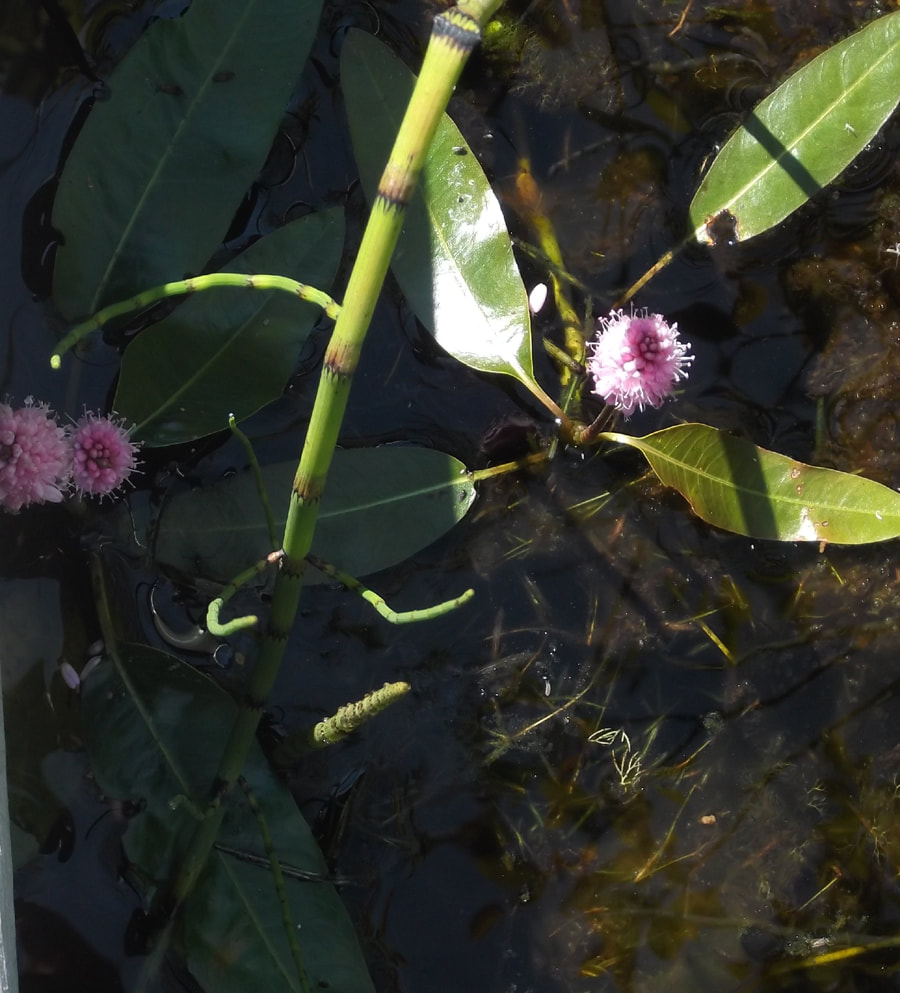
And we did see some pretty pink water flowers. I think these are Persicaria amphibia also known as "Water Smartweed".
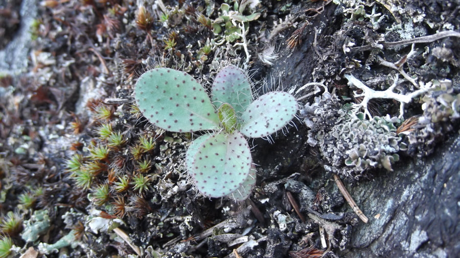
When we got to the other side of the marsh and back into the tree line again I was surprised to come across some sort of cactus or succulent plant. I have seen cactus in the wild in Alberta, but I have not seen any in Ontario before.
As we came over the top and down the other side of a hill full of tree roots we met up with a lady going the opposite directions. She told us that she was from Toronto and that she was 80 years old. She was doing well on the trails and I just thought to myself that I hope that I am just as active and in that good of shape when I am 80 years old. We talked to her for about 10 to 15 minutes before we went on our separate ways.
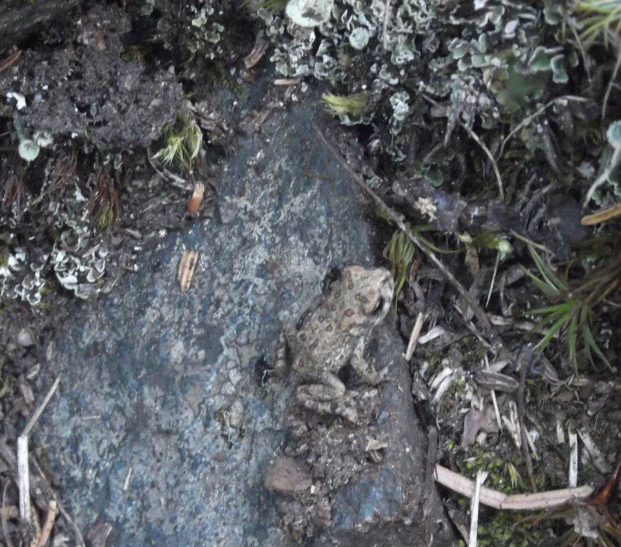
There were many baby toads all over the place in this area. I was worried that we would step on them; especially going up and down the hills because they were so hard to see and it was already difficult enough climbing the hills without having to jump out of the way of a tiny toad.
At about 12:30 pm we came to a rocky clearing. We decided that it would be a good place to stop and have lunch. While we sat a family came by on their way to the suspension bridge. They stopped to talk for a minute or two before continuing on. A couple of other people passed us as well.
As we were packing up our lunch stuff and getting our packs back on a young guy was passing us by. We talked for a moment and from what he said we figured that he might end up being in the neighbouring campground the night after this one. So we said "see you tomorrow!" and he continued on his way.
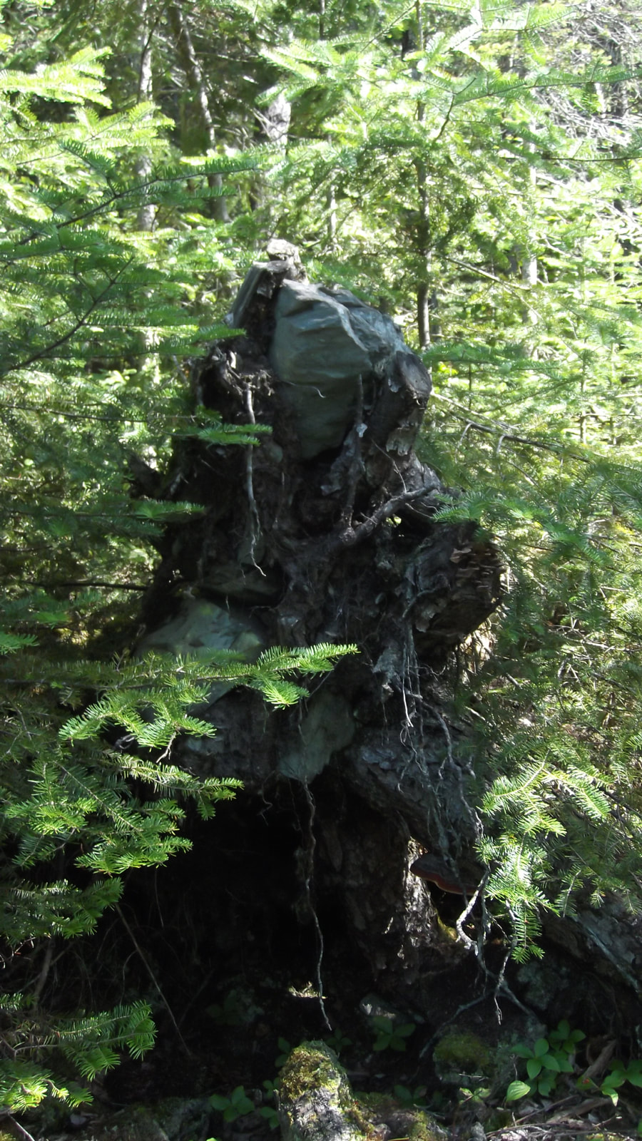
We carried on at a slower pace and stopped to look at the interesting things around us such as rocks growing out of tree stumps.
We carried on at a slower pace and stopped to look at the interesting things around us such as rocks growing out of tree stumps.
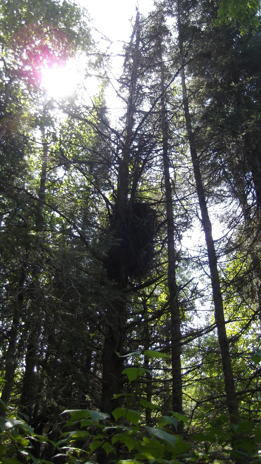
And what I think may have been some sort of owl's nest up in the pine trees.
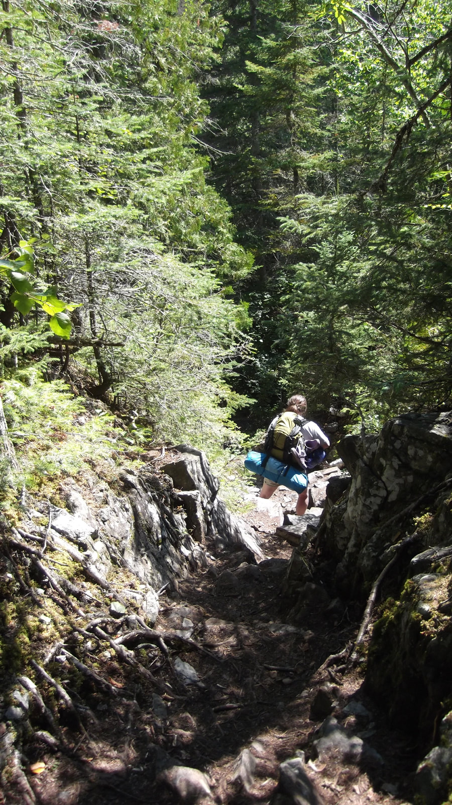
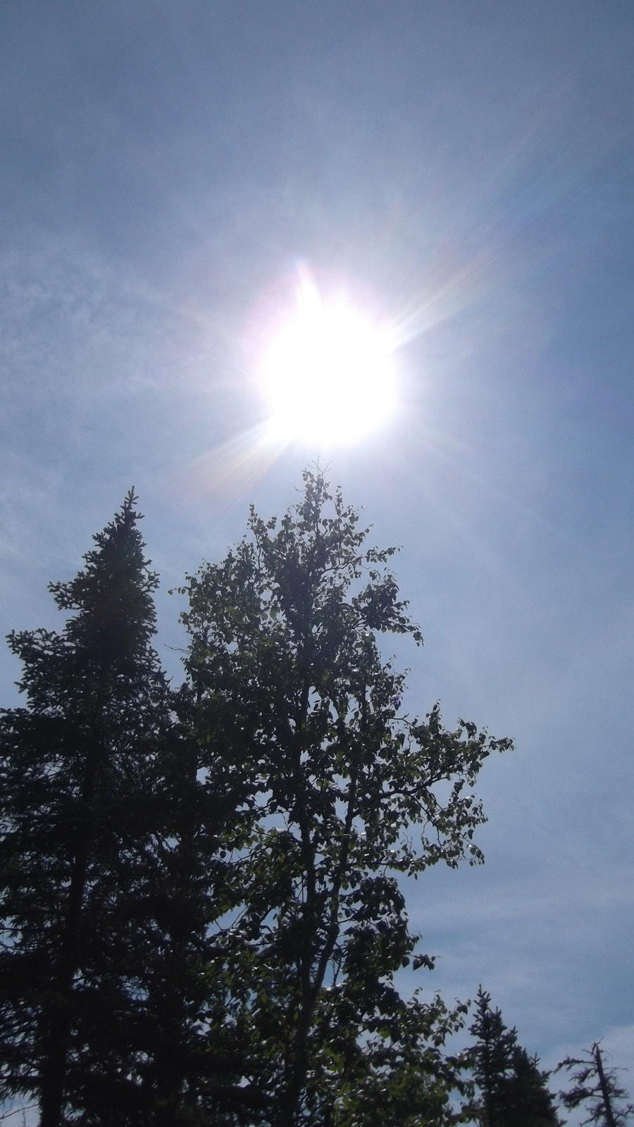
It was getting close to 2 pm by this point and soon the partial eclipse was about to start. We hoped that we wouldn't be deep in the trees when it did happen. So we started to look for open areas where we could see the sky. But first we had to climb up and down a narrow but steep ridge. This was probably one of the steepest places we had to climb this trip and I was thinking about how I was not looking forward to having to climb back up it on the way back.
But the view on the other side of that steep climb made it worth all the while. We went through a section where the rocks rose up like big walls on either side of us. And these rock walls were covered in bright green moss. It was like walking through a ravine of moss. Pictures just don't do it justice. It was beautiful.
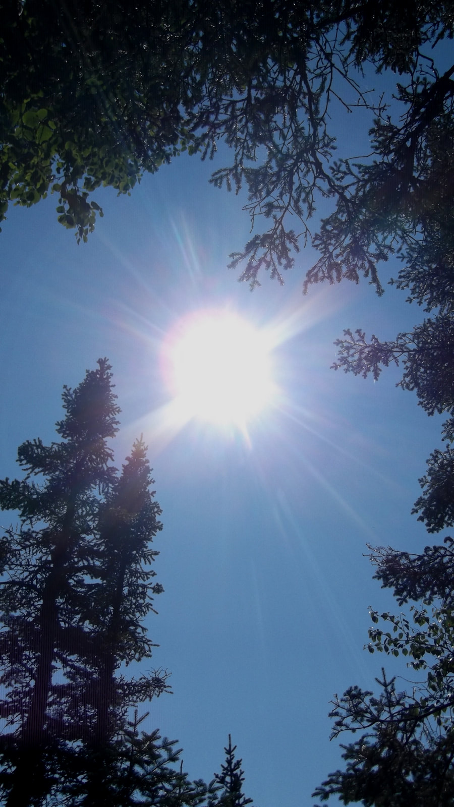
A little after 2 pm we could see that we were coming out of the heavy bush and into an area where we might be able to see the partial eclipse. We could tell it was beginning because the light in the trees and on the ground was turning to something like a silver sheen.
We came to a spot at the top of a hill where there was a small rocky place to sit and rest and where we could see a small section of the sky where the sun was. We were pretty sure that our camp site was not too far off but we decided to stop and rest anyways.
We new from being taught way back in grade school, not to look directly at the sun during an eclipse so instead I just held my camera up in the air and took a picture every few minutes without looking through the view finder. I had no idea if the pictures would even turn out at all.
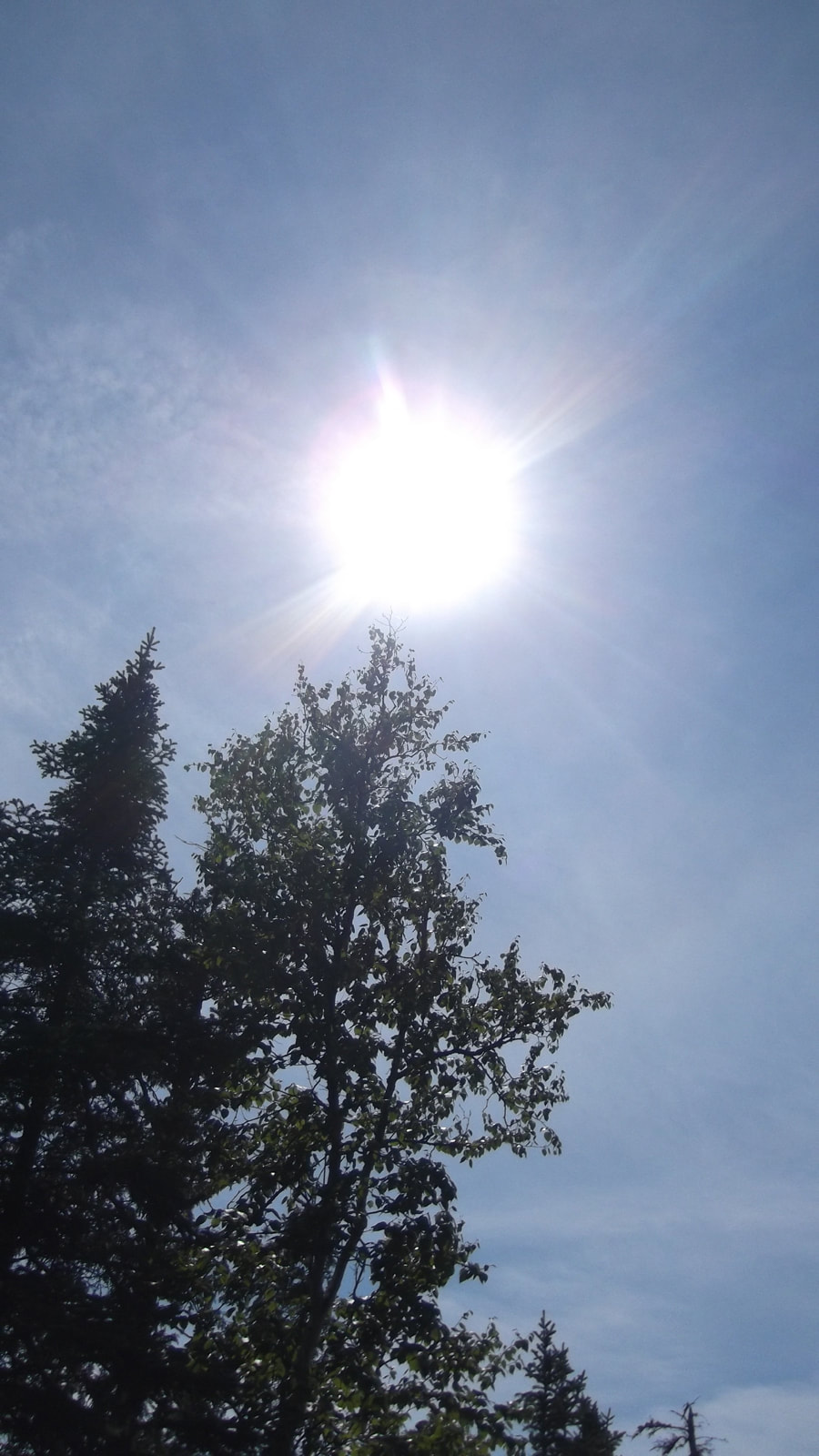 |  |
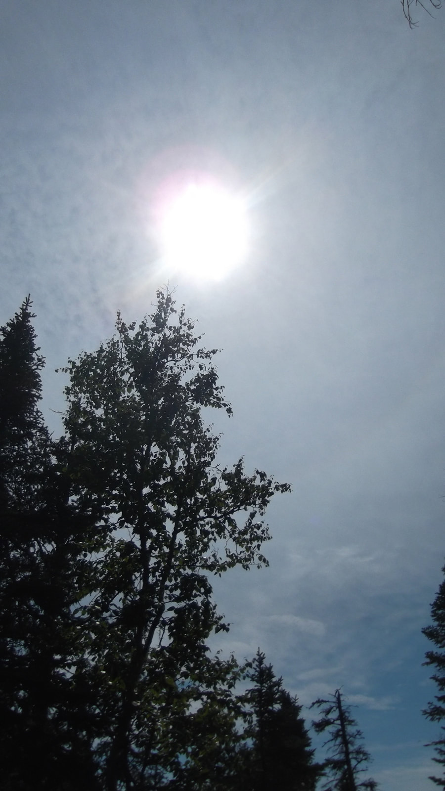
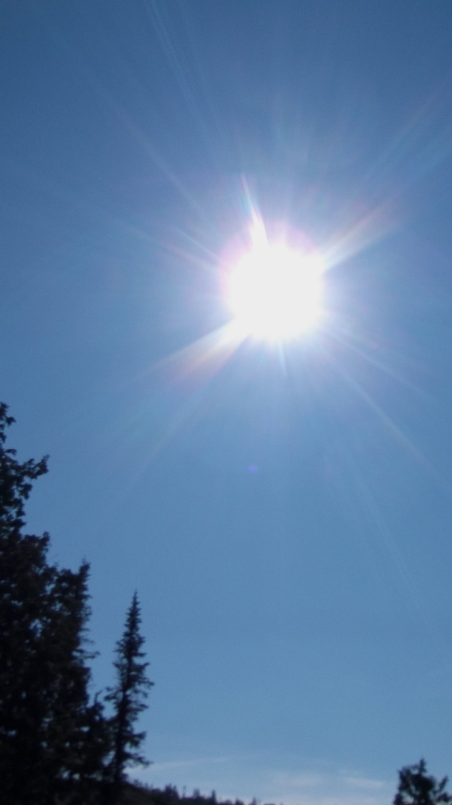
In the end it was rather disappointing and wasn't what I had hoped to see. No dark areas were visible at all.
 | 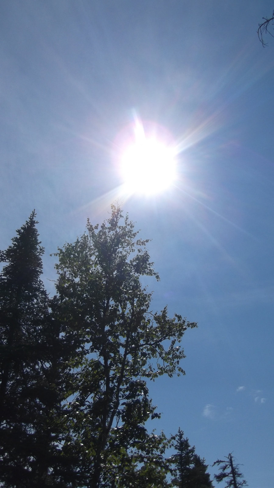 |  |
If you look close enough you can see one circle behind another circle. But mostly it just looks like the sun with rays of light coming from it and nothing more.
 |  |
Once we realized that the partial eclipse was not going to get any better than that we decided to carry on to our site. We continued down the hill until we reached the sign post for our site. Had we known it was that close by we would have just finished going down the hill and to the site to see the eclipse.
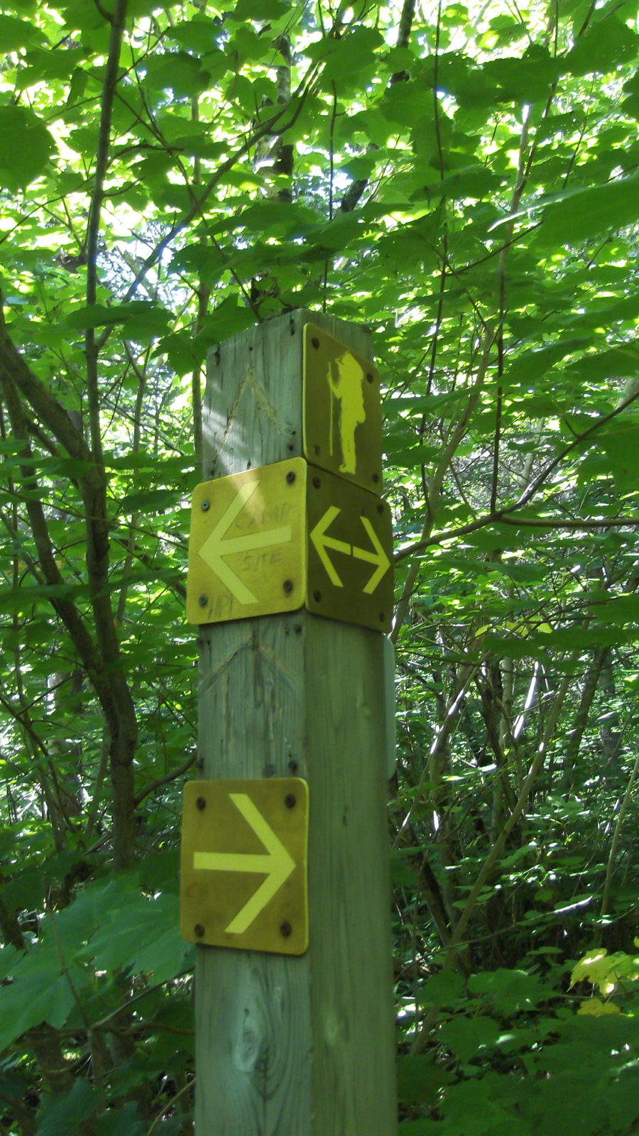 |  If you weren't paying attention to the signs you would almost miss the path to the campsite. Someone had written in pencil on the sign "Campsite HP1" . That was our spot! We made it! |
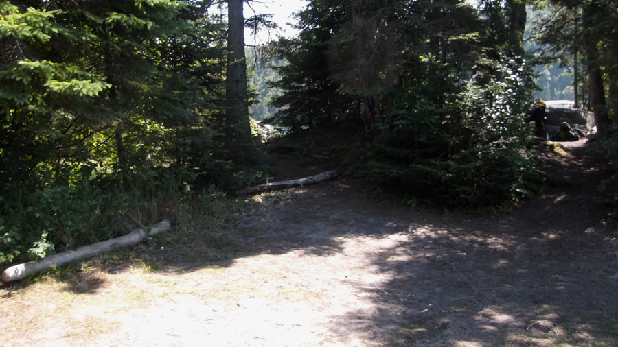
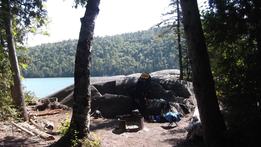
It was 2:30 pm when we arrived. The first section of the site is a cleared area with logs under the trees that made me think of a parking lot.
This would be where we would set our tent up.
Our view from the tent was that of the cute little sandy beach area.
It was a section of beach that was encompassed almost completely by rocks and trees which cut it off from the deeper and colder side. It was like having the deep end and the shallow end of the pool.
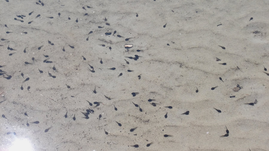
In the water there were many little tadpoles. Some with just tails and a couple of them were already starting to grow legs.
We were going to go swimming but when we put our feet in the water it was freezing cold. That was rather unexpected considering the water was shallow and it was a hot day. But later on we figured out why. We read in the parks brochure that this harbour is part of Lake Superior and that the average temperature of the water is only 4 degrees. No wonder it was so cold!
We were going to go swimming but when we put our feet in the water it was freezing cold. That was rather unexpected considering the water was shallow and it was a hot day. But later on we figured out why. We read in the parks brochure that this harbour is part of Lake Superior and that the average temperature of the water is only 4 degrees. No wonder it was so cold!
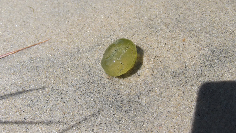
So instead we just explored the area. In the water we found some floating green gobs of goo that looked like green grapes. When I got home I googled it and found out that these are actually something called "Ophrydium versatile" which are made by a colonial microscopic single-celled protozoan. The individual cells line up side by side in the “blob” and attach themselves to a jelly-like substance they secrete. They are symbiotic with microscopic Chlorella algae which live inside the Ophrydium cells and give the blob its green color.
Walking straight ahead from where our tent was set up there was a large rock formation by the fire pit. This rock formation had a rocky ledge to it where we could put or packs down and leave things to sit, like our cups or plates. We found that it wasn't the most comfortable place to sit though because it was on a slant. So we sat on logs instead.
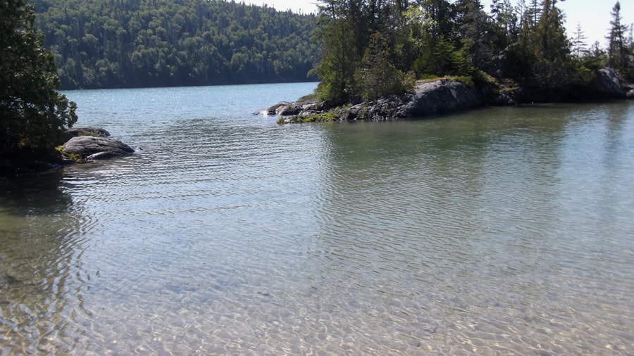
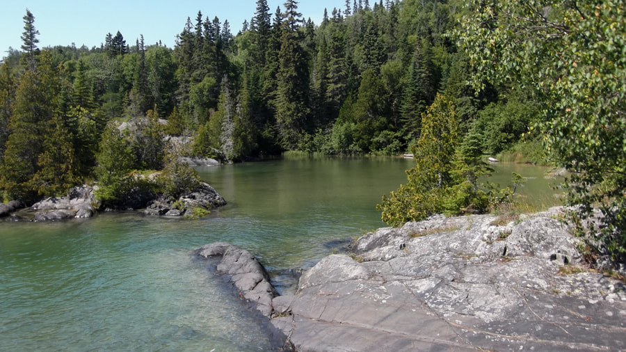
If you climb up on top of the rocks you get a fantastic view. To the left you could see the treeline off in the distance across the harbour. That would be where we would be heading the next day.
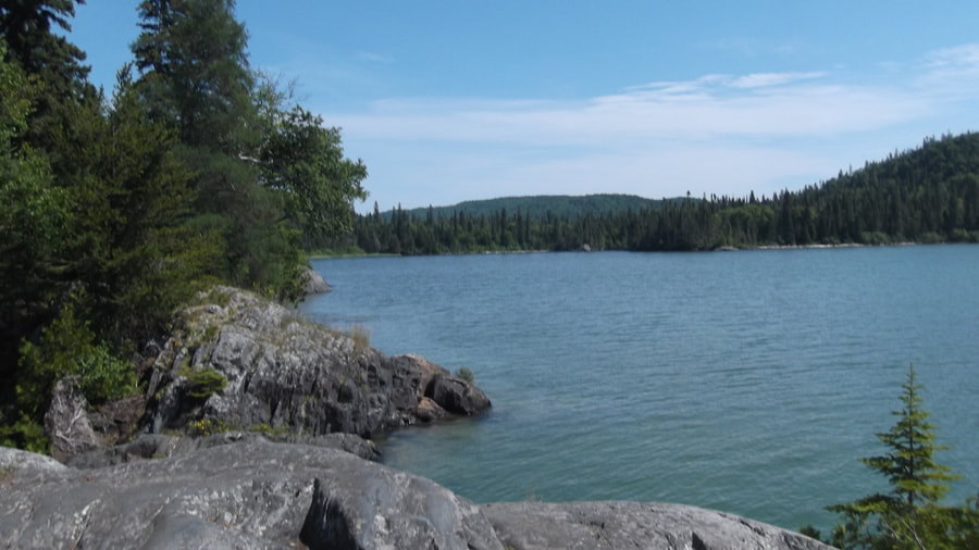
To the right was the direction from which we came. The water was a beautiful clear blue green colour.
We set up camp and had a snack. We gathered water and filtered it through the "platypus" filter. On occasion some hikers would wander into our campsite because the signs were not very clear on which way to go and people got mixed up. We didn't mind too much.
A little while later the family that we had met when we were eating our lunch happened to pass by our site on their way back and stopped for a rest at the far end of our little beach. We waved and said hello and offered them the use of our site to go swimming if they wanted but they politely declined. We talked to them for a bit as we shouted across the water to each other, and then eventually they were on their way again. We didn't see too many more people after that.
A little while later the family that we had met when we were eating our lunch happened to pass by our site on their way back and stopped for a rest at the far end of our little beach. We waved and said hello and offered them the use of our site to go swimming if they wanted but they politely declined. We talked to them for a bit as we shouted across the water to each other, and then eventually they were on their way again. We didn't see too many more people after that.
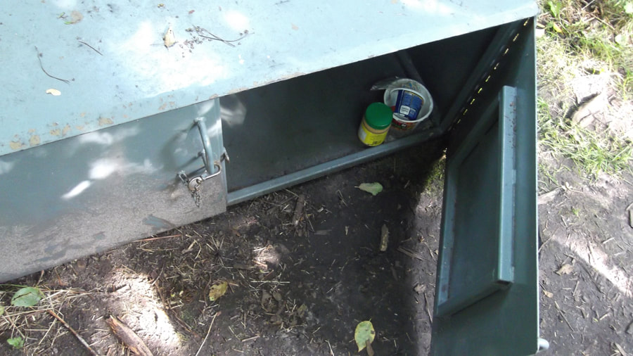
We decided to go looking for the bear bin and the bathroom before it got dark. As promised the bear bin was nestled in amongst the trees a little ways away from the site.
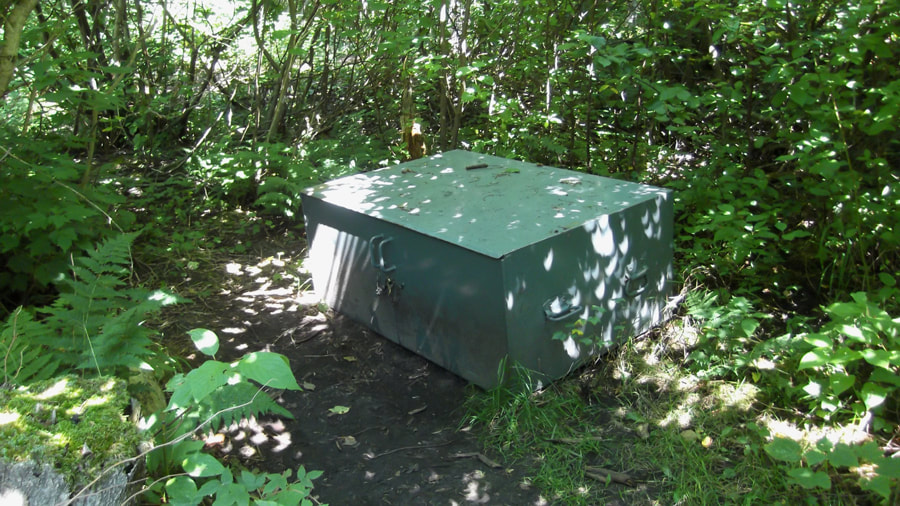
Someone had left behind a couple of items. I guess they either forgot about them or didn't want to carry them. Unfortunately on this bear bin only one of the doors would open. But we managed to get all of our food in there just the same.
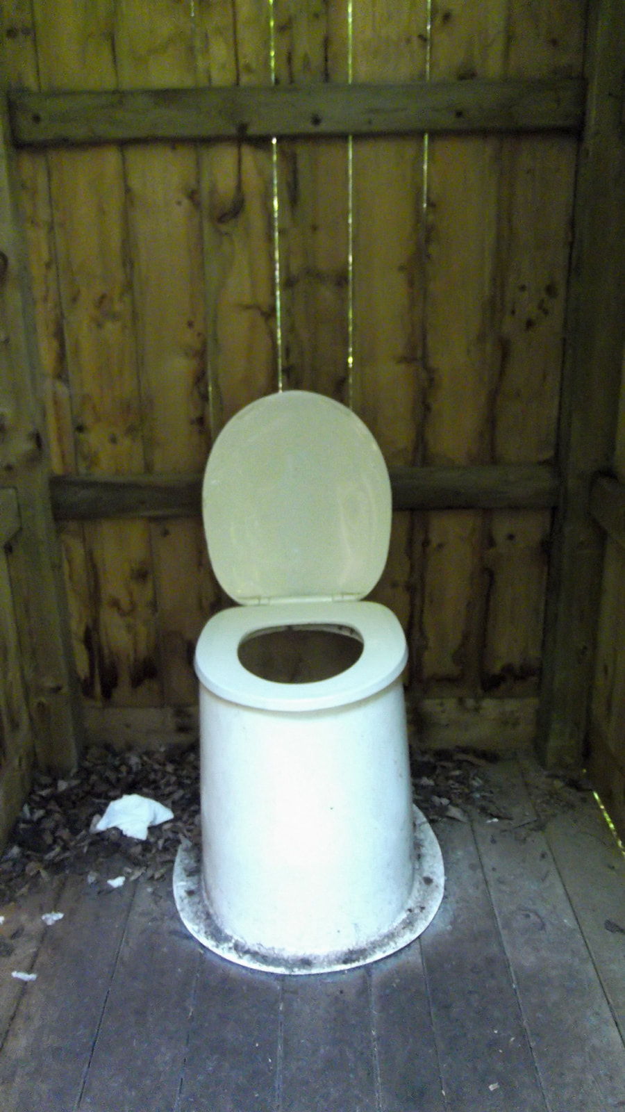
As for the bathroom, it was a little farther away than I would have liked. You had to go back to the main trail and cross over it onto a small path on the other side to get to the bathroom. The door didn't latch properly but that didn't matter too much since it was well off the main trail.
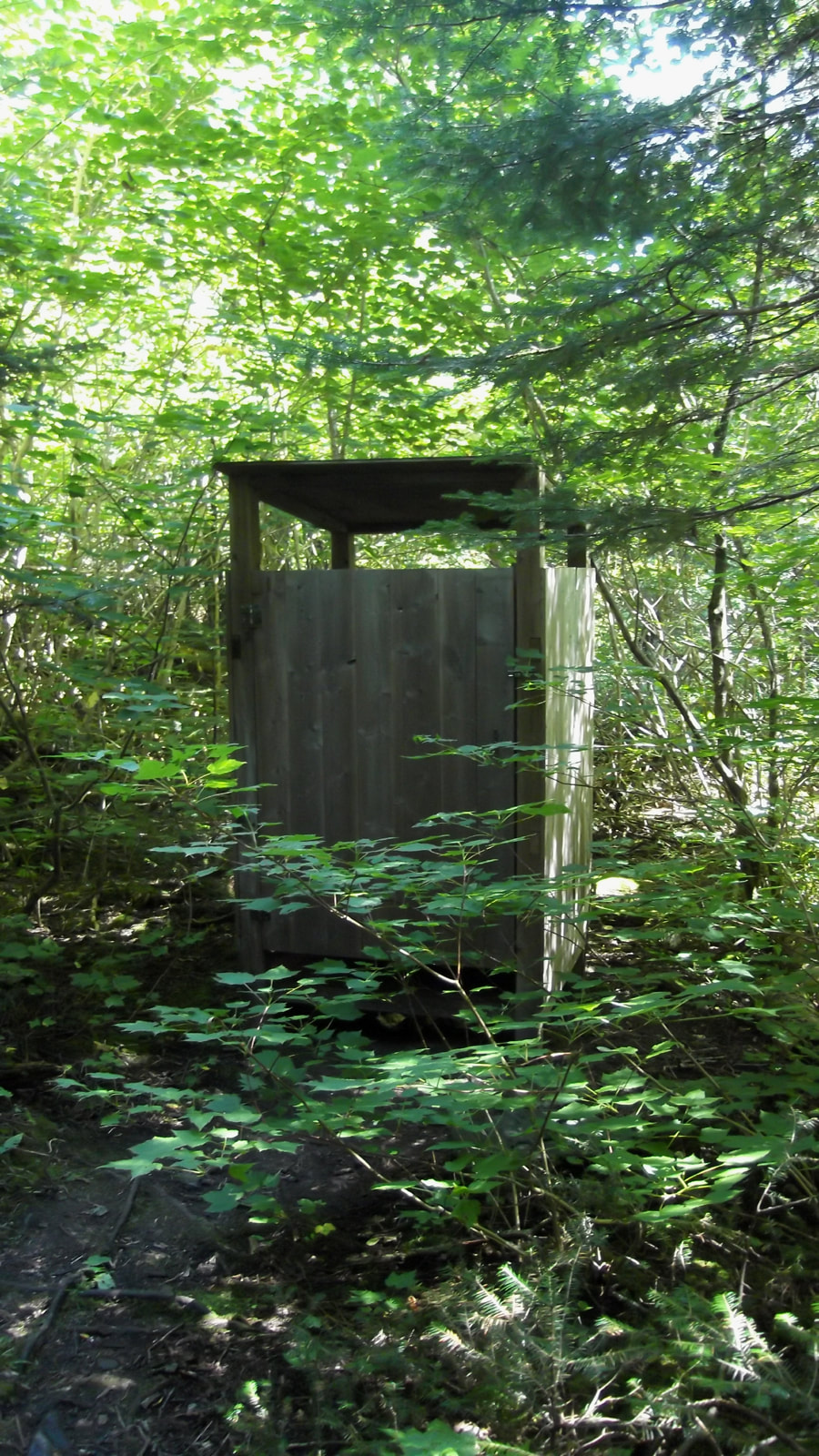
Despite the door not closing properly, the bathroom was in good condition and was fairly clean and didn't smell too bad at all.
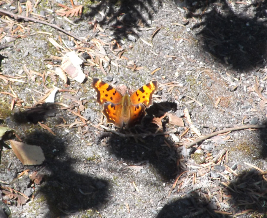
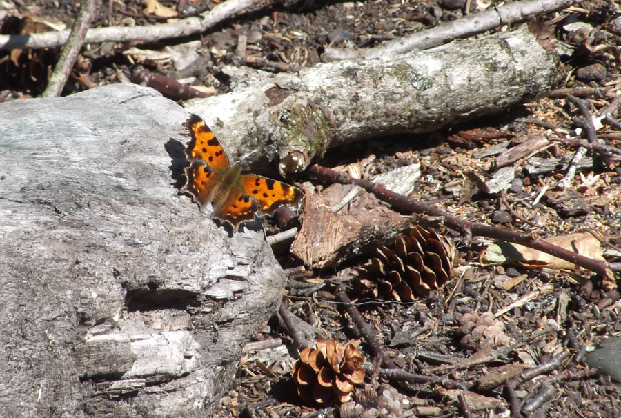
On the way back to the site we saw a Gray Comma butterfly that was enjoying the afternoon sun.
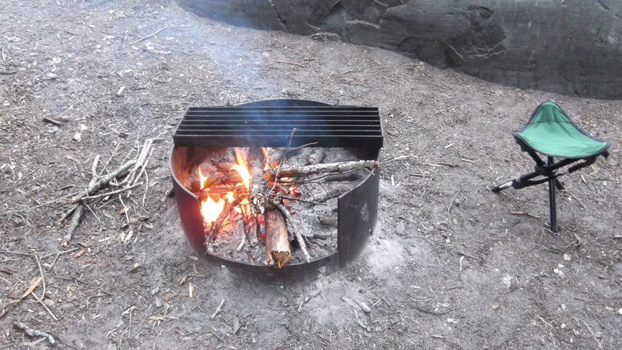
At about 6 pm we started a fire and cooked our supper of chicken and rice. We sat by the fire and talked all evening.
Dusk turned to dark and we could hear the loons calling in the distance. Once it got dark we saw the strangest thing. Off to one side of us something was glowing. We got up to look at it and realized that it was a log that was glowing....the whole log. It wasn't very bright. I tried to take a picture but it just turned out black. But it was glowing faintly enough that we could see it standing out from everything else in the dark. We wondered what was making it glow like that. It didn't look like anything was spilled or painted on it. It seemed like a natural phenomenon. We never did find out what caused it.
We went into the tent at about 11:45 and studied the map for a bit to get an idea of where we were headed in the morning. While we were doing that we noticed that a wasp was in the tent. So I had to find something to catch it and throw it outside. After I ejected it from the tent I spent the next 10 minutes searching the whole tent to make sure that there were no more unwanted insects inside. Confident that there weren't, we eventually drifted off to sleep.
We went into the tent at about 11:45 and studied the map for a bit to get an idea of where we were headed in the morning. While we were doing that we noticed that a wasp was in the tent. So I had to find something to catch it and throw it outside. After I ejected it from the tent I spent the next 10 minutes searching the whole tent to make sure that there were no more unwanted insects inside. Confident that there weren't, we eventually drifted off to sleep.
 RSS Feed