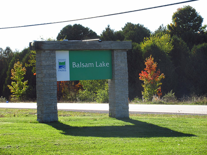
Just me and my mom on this trip. Last camping trip of the season for us. Destination... Balsam Lake Provincial Park. It was a beautiful and scenic drive to the park and we arrived at about 4:30 pm.
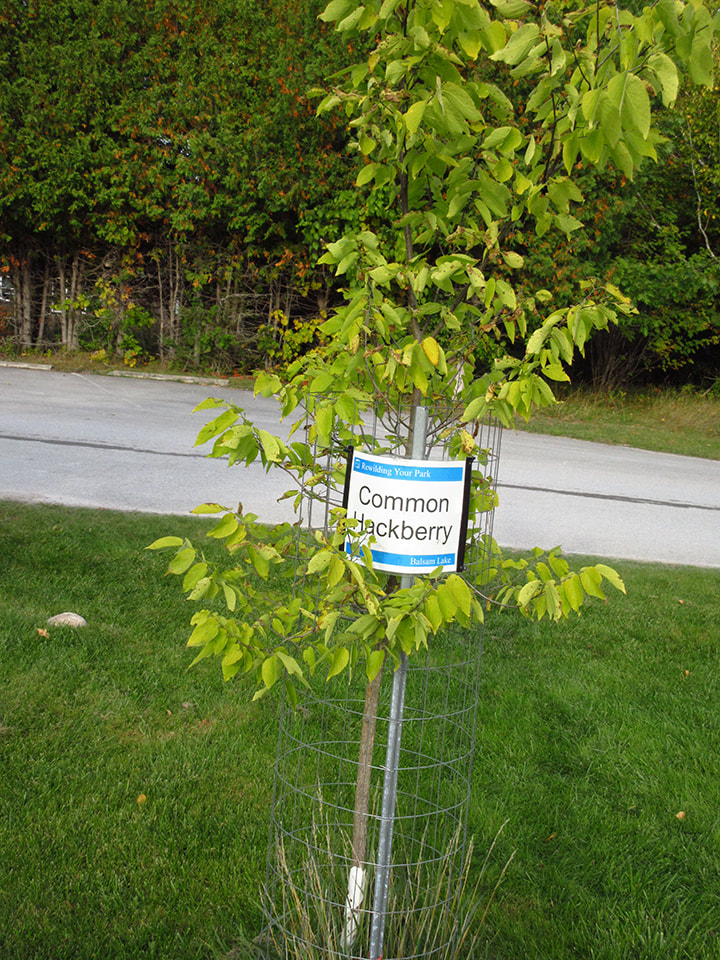
We pulled into the parking lot outside the office. Different types of trees lined the parking lot and were protected at the base by wire fencing.
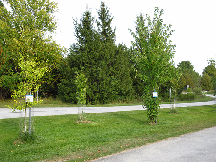
Each tree had a sign on it telling you what type of tree it was.
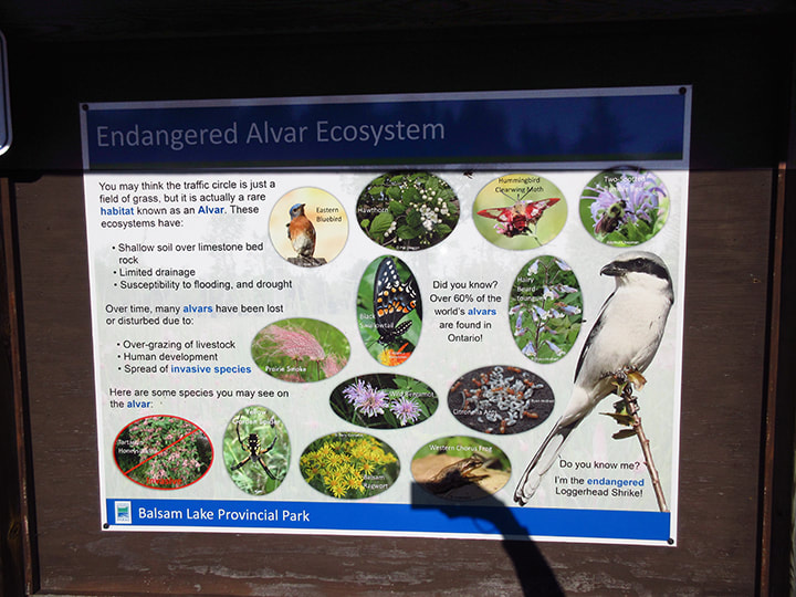
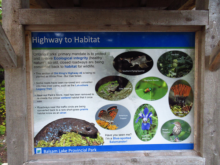
Off to the side was a sign that showed information on the local Endangered Alvar Ecosystem that they were trying to protect within the boundaries of the park. It was interesting to read about and see pictures of some of the endangered birds, insects and plants.
Mom waited outside while I went in to register. While I was in there I got my park sticker for my sticker passport book.
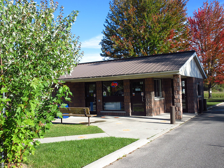
They gave me a map of the park so that we could find our way around. We would be staying in the Cedar section of the park.
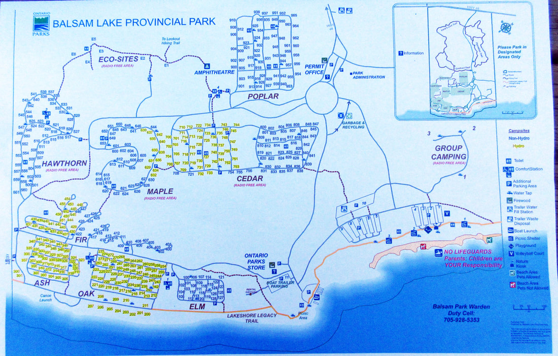
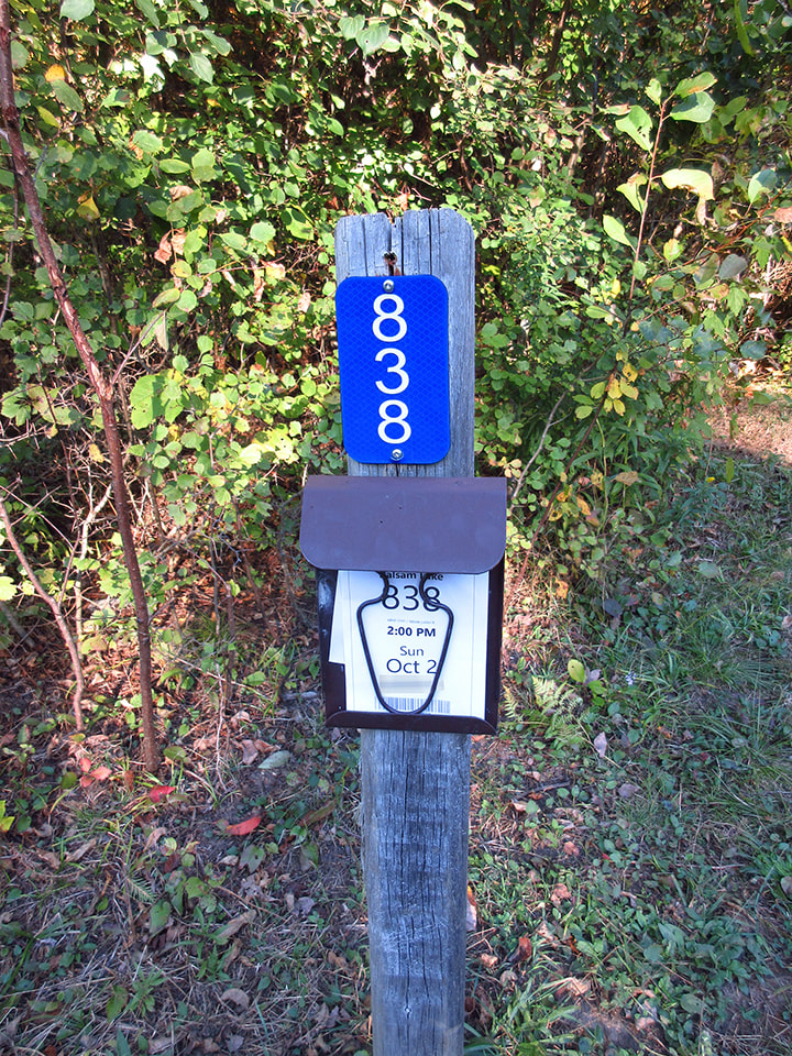
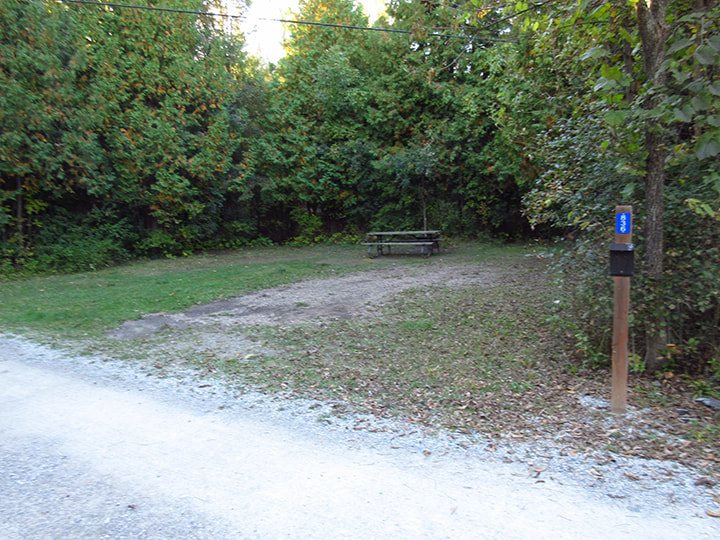
The site I had reserved for us was site number 838. Of course when I had reserved the spot it was "site unseen" (a little pun there, ha ha!)
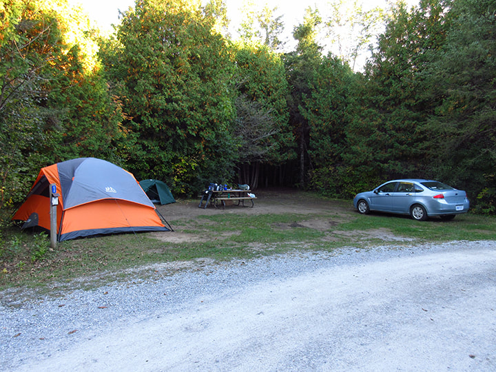
The site was quite large, and very well treed. There was plenty of room for the car and multiple tents.
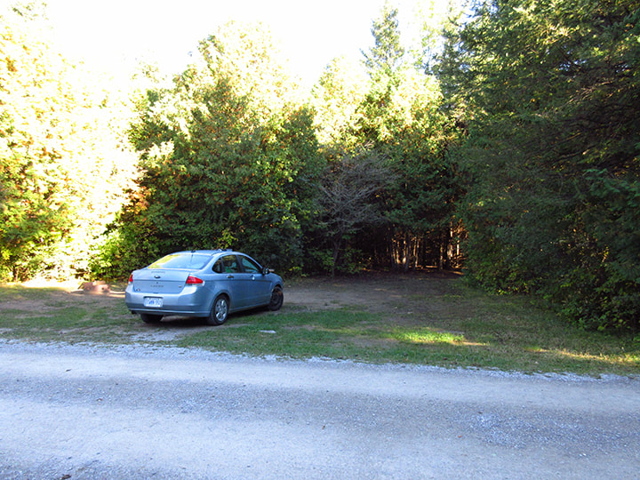
However, it did have one downfall. The ground was pretty wet and muddy. This meant that places to put up a tent were much more limited than what it seemed at first glance.
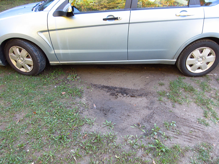
It was wet and muddy enough that we almost considered moving across the road to site number 836.
But after discussing it we decided to keep the site we had. We managed to find some spots along the edge of the site that were dry enough to put up our tents. We didn't bring the dining tent this time so that was one less thing we had to do.
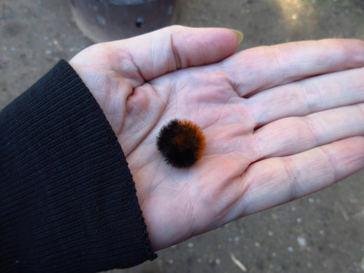
While we were setting up, a couple little critters came to visit. The first was a Wooley Bear caterpillar who promptly curled up into a ball the moment I picked him up.
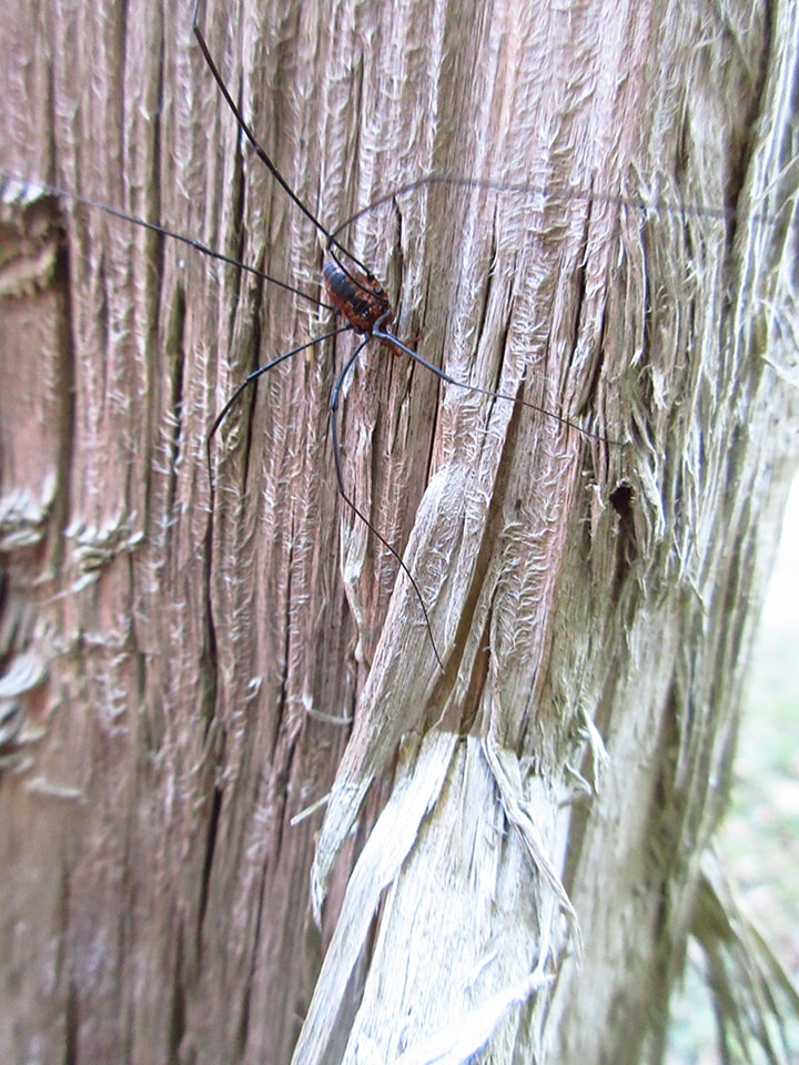
And the next was a Harvestman that was crawling down the post near my tent.
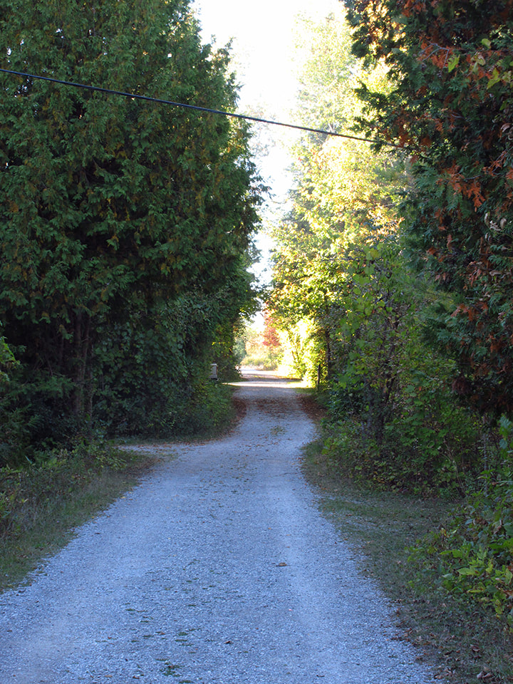
The bathrooms were a little bit of a walk down the road. A little further away than the spots I normally choose but it wasn't too bad. The quiet tree-lined road made for a pleasant walk to and from the facilities.
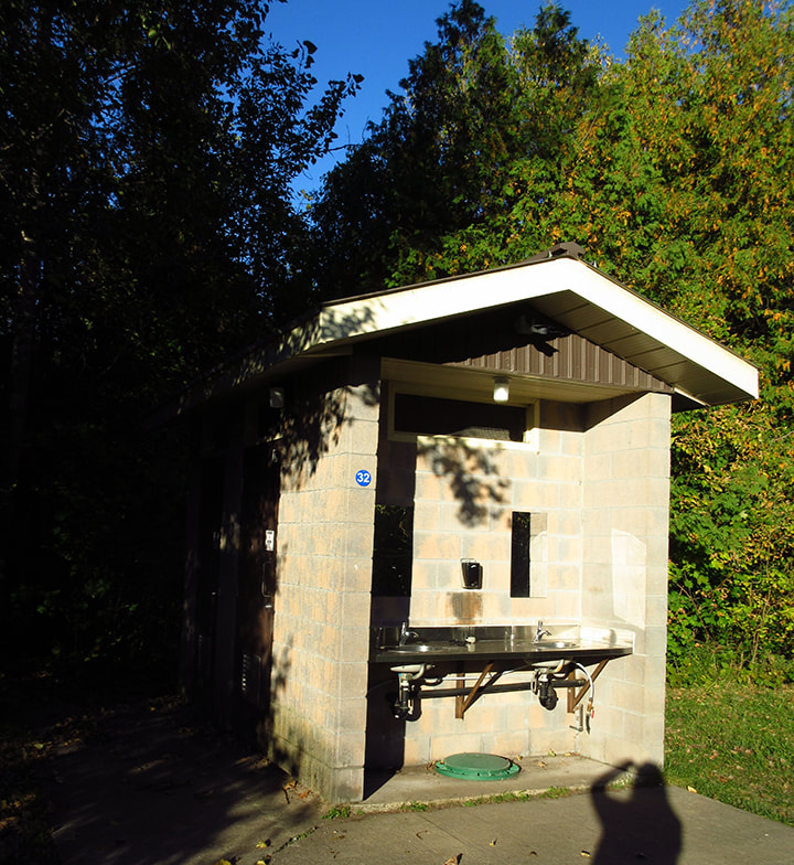
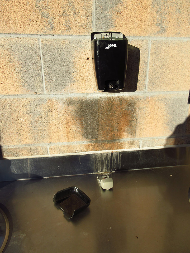
The bathrooms were in cement buildings with the sinks on the outside. There were two buildings but neither seemed to be labeled male or female so you could use which ever one you wanted. The lights were automatic motion sensored. In one building the lights never turned off though.
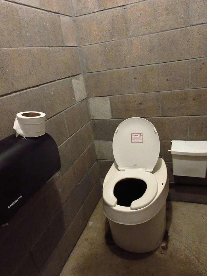
The toilets were not flush toilets (which is fine) and they were relatively clean. The soap dispenser above the sink was broken though.
 |  |
Once our campsite was all set up and we had eaten a quick dinner of submarine sandwiches that we had purchased in one of the towns along the way, there was still enough daylight to do some exploring. So, we headed down the gravel path that was right beside our site and went for a walk to see where it would lead us. We forgot to bring the map with us so we were just going where ever we wanted to without any real direction. Our goal was to try to find the lake.
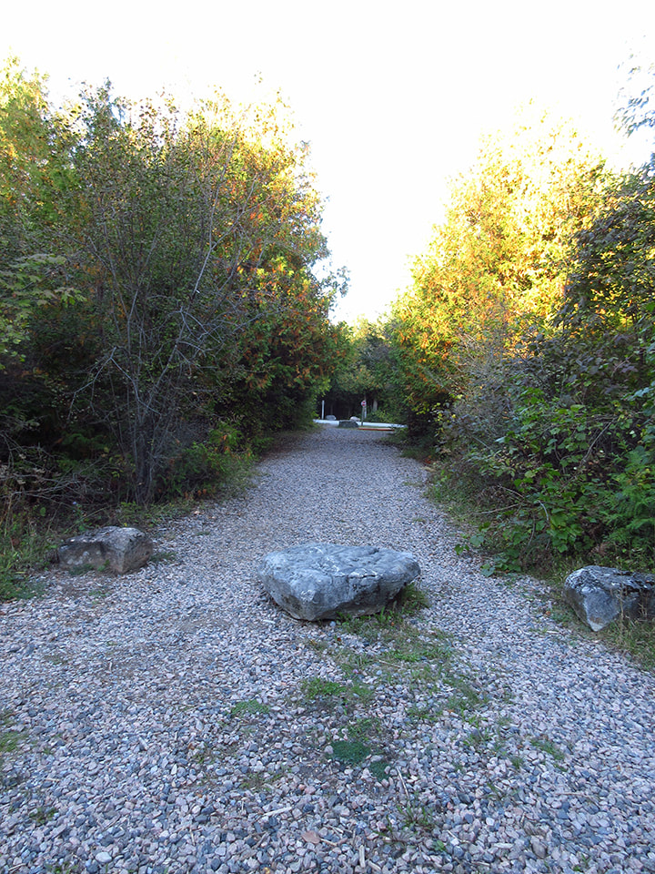
The gravel path led to the road. There is a choice to cross the road and continue down the path on the other side or to actually walk down the road itself. We decided to make a right and walk down the side of the road.
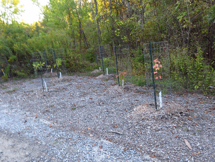
Here and there, along the road side were various types of young saplings all wrapped up and protected in planter cages.
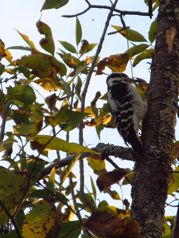
We could hear the sound of a woodpecker looking for an evening meal. We scanned the tree line and found the source. It was Hairy Woodpecker looking for bugs in the bark of a tree.
Up ahead we could see the park store and the wood shed.
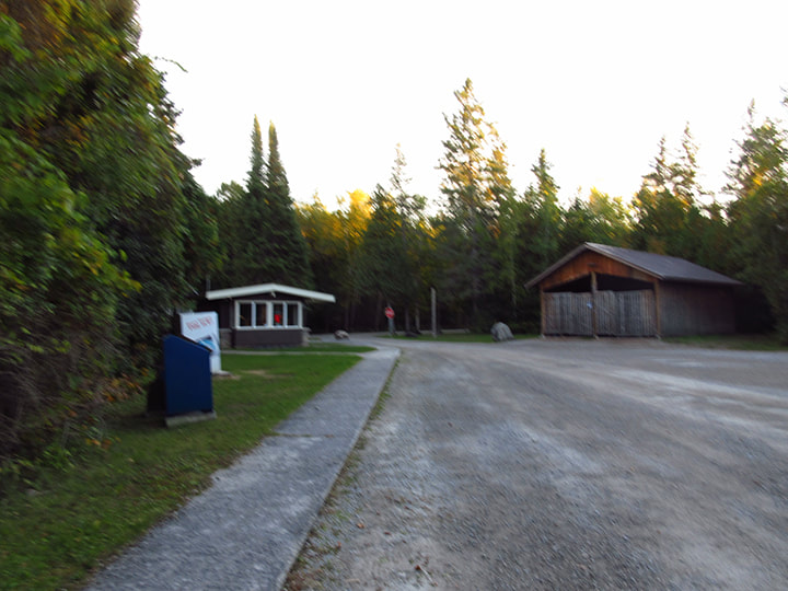
We were a bit disappointed to see that it was closed for the season though.

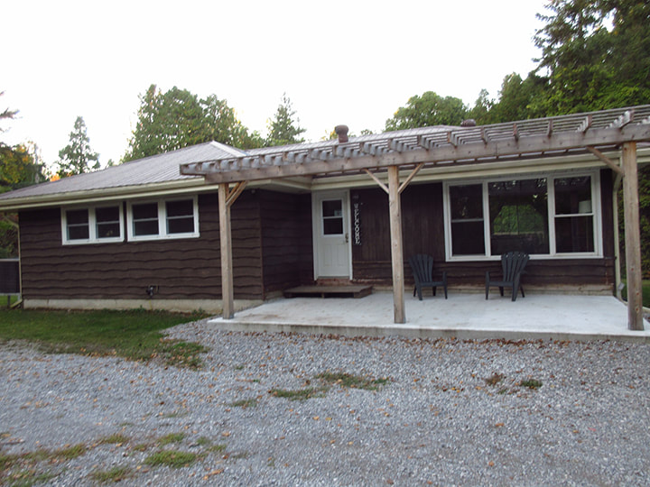
A little further on we came across another building. It was empty and looked like a house. Maybe the park employees stay here during the summer I wondered? But later on when we got back and looked at the map I realized that it was actually the cabin that is for rent in the park.
A big, wide walking trail, called the Lakeshore Legacy Trail, runs right in front of the cabin. As you walk down the trail you come across information signs from time to time. According to the sign this trail used to be a section of the Old King's Highway 48 and is now being replanted with White Pine trees and Bur Oaks.
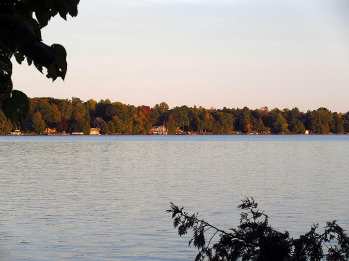
My mom and I found a bench that looks out onto the lake and we stopped to sit and enjoy the sun that was starting to get lower in the sky. It was a beautiful spot.
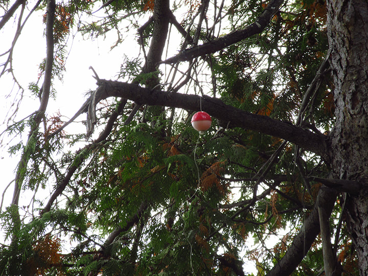
I noticed by the multiple pieces of fishing line and tackle stuck in them various nearby trees that this is also a favourite spot for some people to try fishing from. Looks like it is not the most successful spot though.
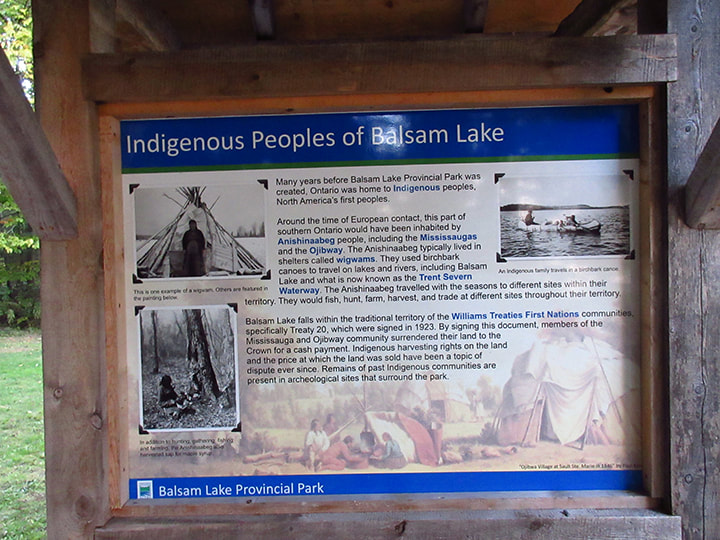
After a short rest we continued down the trail and found another information sign. This one told of a bit of history of the indigenous peoples of Balsam Lake.
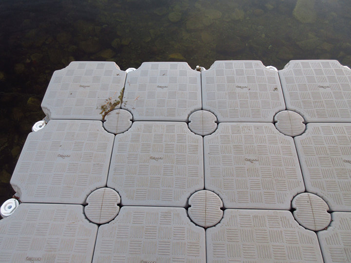
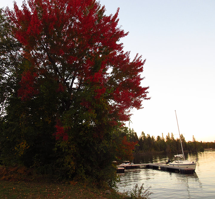
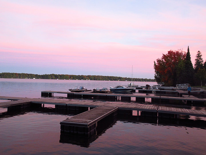
Just beyond that sign we came to the beginnings of the beach and boat launch. We spotted an unusual looking dock and we strolled over to have a look.
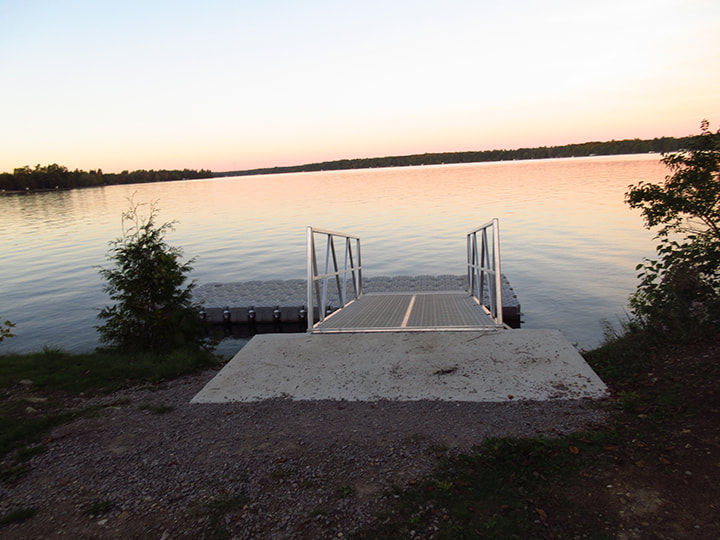
The dock comprised of grey plastic sections that seemed to snap together like a jigsaw puzzle. It looked like it was something that could be put together or taken apart without too much effort. I assume that they probably pull this out of the water for the winter.
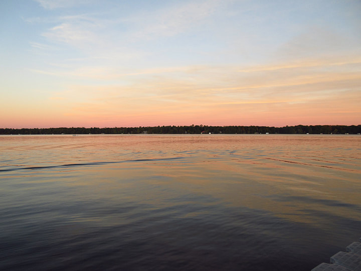
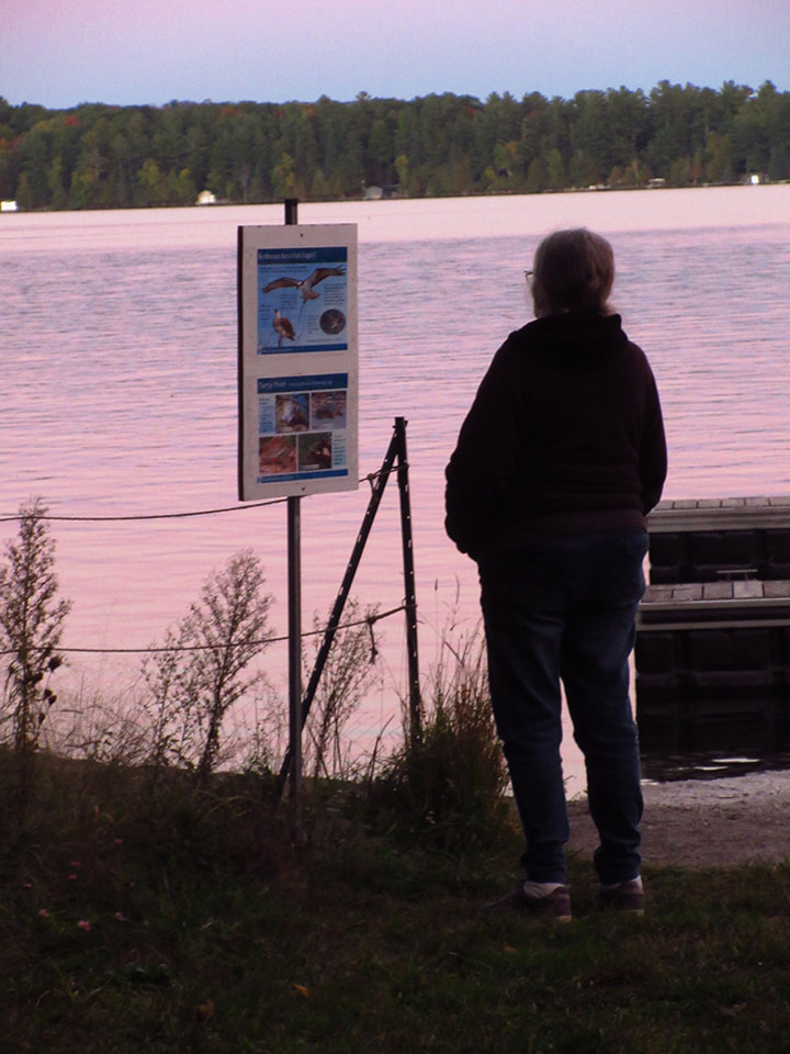
We stood and watched the distant sky turn pink and reflect the colours off the surface of the water. It wasn't a dazzling sunset by any means but it was still peaceful and pretty to look at.
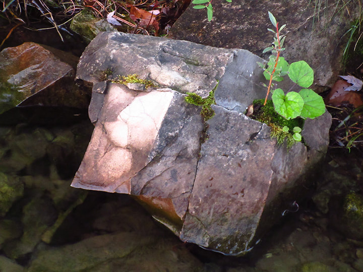
Looking over the edge of them dock you can see interesting rocks that look like they have been cut and formed with a knife.
A single red leaf floated below the surface of the water as a reminder that it won't be but a few more weeks before winter will be upon us.
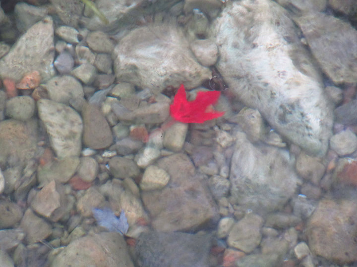
The leaf probably came from the nearby tree that was already half way through its colour changing process.
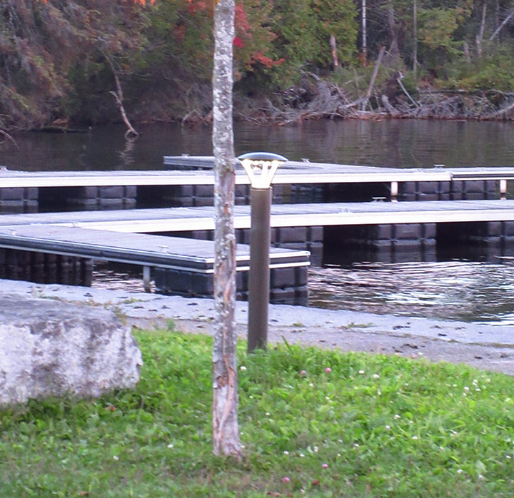
We continued our walk and headed over to the main boat launch area. It was one of the nicest boat launches and dock area I have seen in an Ontario provincial park. It was well kept and nicely laid out.
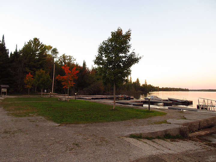
My mom pointed out that they even had lamp posts along the docks and paths. She figures that this park probably gets decent funding in order to provide those types of things. I tend to think she is probably right. Not all of our parks get the proper amount of funding like this one does (Kap-Kig-Iwan could really use an infusion of funds, for example). It is kind of sad really that our parks don't get the funding they need much of the time.
On the far side of the docks the trail crosses over a bridge and continues into the woods. We decided that the bridge would be as far as we would go for the evening. We didn't need to be venturing into the woods on an unknown trail as it is getting dark. I figured I would explore the rest of the trail tomorrow.
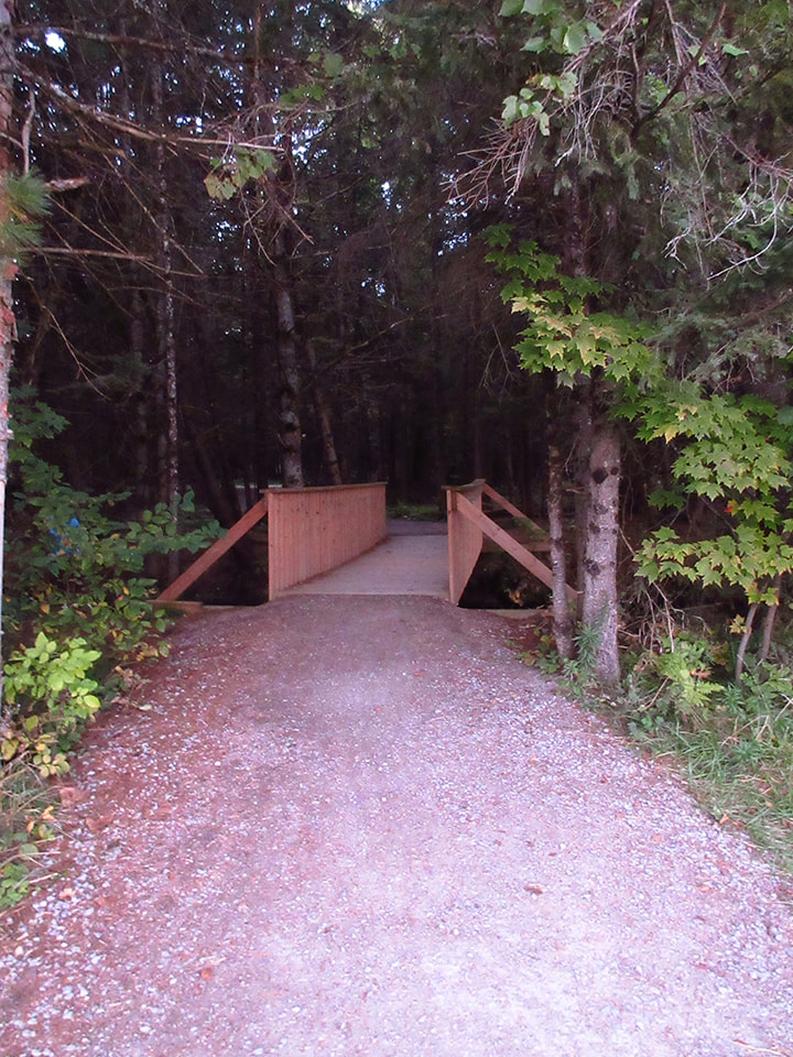
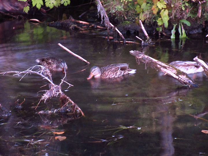
Instead we stood quietly on the bridge for a bit and watched the Mallard ducks swimming around. I also saw a muskrat swimming by the bridge but it was so dark under the trees and the muskrat was moving so quick that I was not able to get a picture of it.
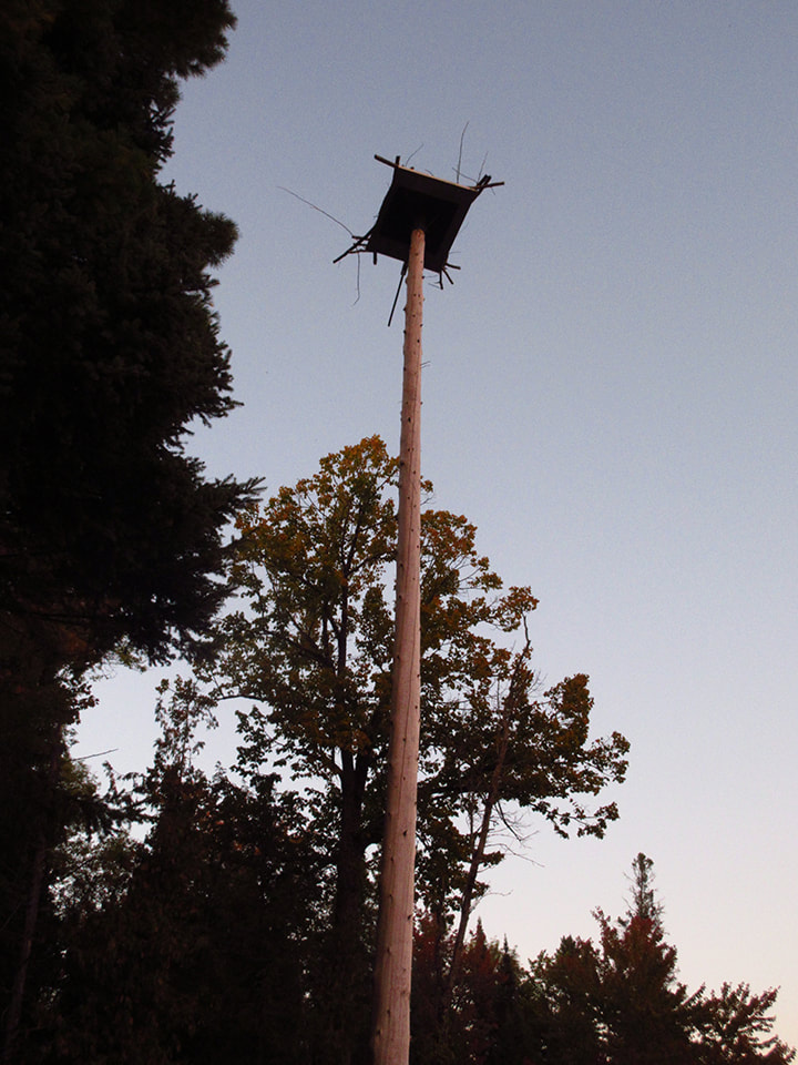
Just off tot he side of the bridge was another information sign talking about the water birds in the area. The focus of the sign was that of the Osprey.
The reason for that was because there was an Osprey nest way up high on a pole above this sign. Of course at this time of year the Osprey were no where to be found, but in the middle of summer this would be a place you could find them.
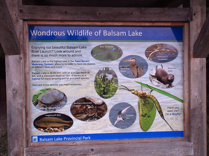
Another nearby sign told of the many types of aquatic life that you can find in the area, from turtles, to frogs to Blue Herons.
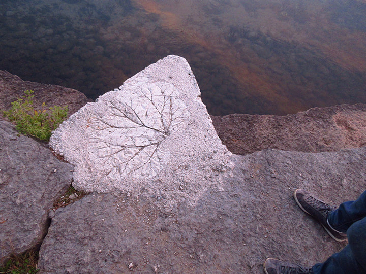
The cement blocks that line the side of the shore were interesting because they had imprints of some sort of giant leaves embedded in them. I don't know what kind of plant it is but it sure was large!
People were starting to come in from the lake and were tying their boats up for the night. We figured we had probably better head back to camp.
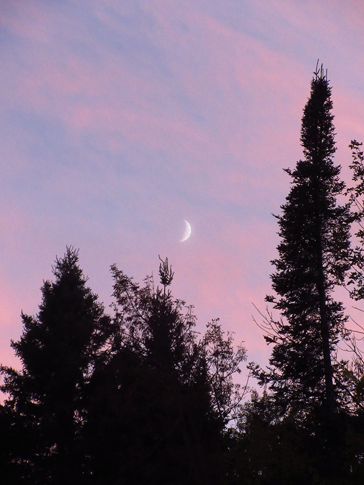
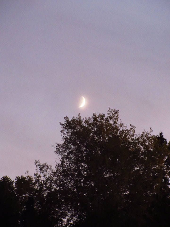
The moon was starting to make an appearance and looked beautiful against the pinks and blues an purples of the evening sky. I felt blessed to be able to be here.
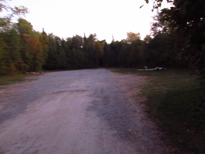
We cut through a parking lot for boat trailers to take a short cut back.
They must get a lot of boats here in the summer because the boat trailer parking lots are huge and this was just one of 11 of them in the park.
By the time we got back the sky was no longer pink and the moon was high and bright. It was starting to get chilly and I knew that it was going to be a cold night.
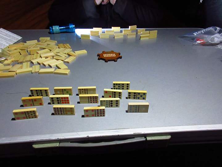
We didn't feel like making a fire because then we would have to stay up and babysit it until it was time to go to bed. So instead we opted to go into the tent where I had set up a table and chairs and we played dominoes by the lamp light.
It had been a good first day and I really like this park. I am looking forward to exploring more of it tomorrow.
It had been a good first day and I really like this park. I am looking forward to exploring more of it tomorrow.
 RSS Feed