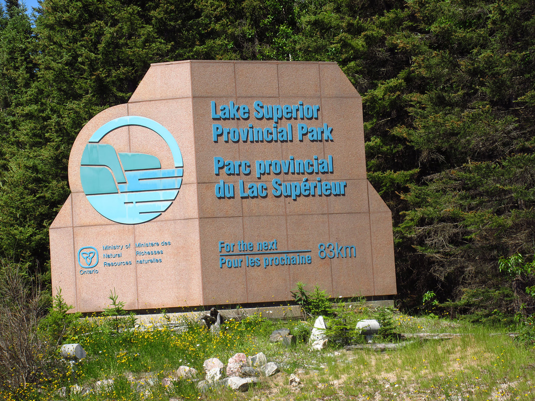
Originally I wanted to hike Frontenac Park trails this year, however, by the time I went to book them they were already filled up. So, I had to look for a back up plan. I had travelled through Lake Superior Provincial Park a few years ago (the highway runs right through it) and it was also on my bucket list. So this park became the choice for our backpacking trip this year.
Since the park is 7 hours away, the plan is to stay a night at the Agawa Bay campground and then backpack part of the Coastal Trail for 5 nights, and then spend another night at the Agawa Bay campground before heading home.
This trip there would be three of us on the trail; myself, my sister Heather, and my brother Carsten.
Having backpacked Pukaskwa before, which isn't too far away from Lake Superior Provincial Park, we knew that the temperatures here can get much colder than they do in many of the other parks especially at night. But it was still a bit of a surprise to go from a hot 22 degrees in the car to a much cooler 13 degrees when we got out of the car when we arrived.
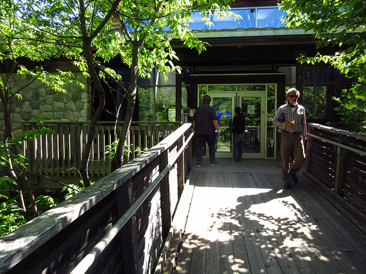
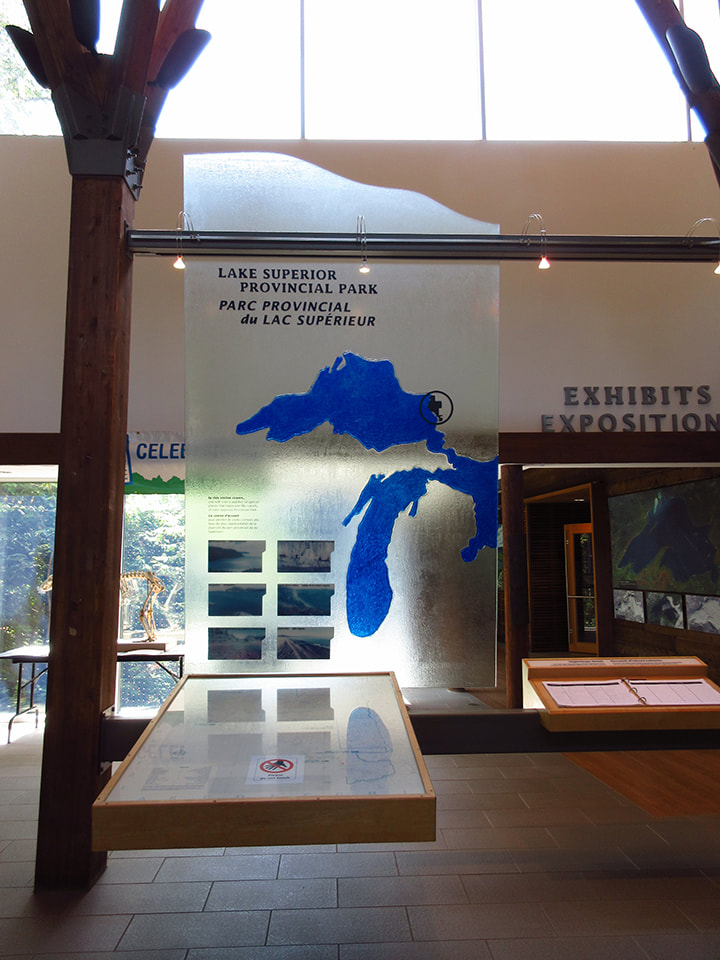
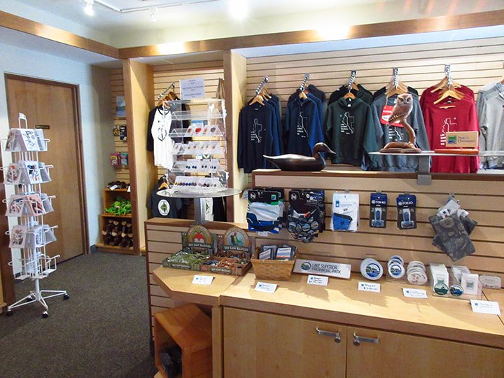
We were not sure where to go right away. We couldn't see the office at first, but we did find the park store and Visitor Center. So we decided to start there.
We were not sure where to go right away. We couldn't see the office at first, but we did find the park store and Visitor Center. So we decided to start there.
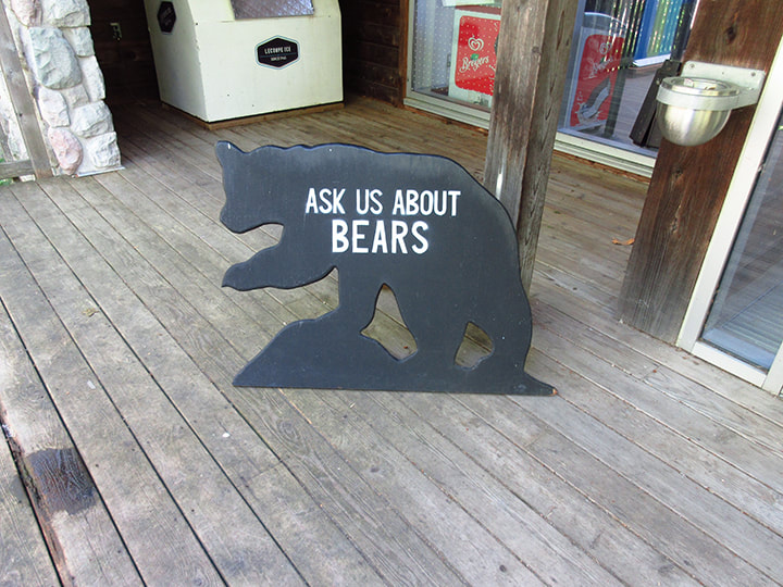
Outside the Visitor Center door was a sign that said "Ask Us About Bears". We already knew there were bears in the area. We had seen a young black bear crossing the highway on our way in awhile back.
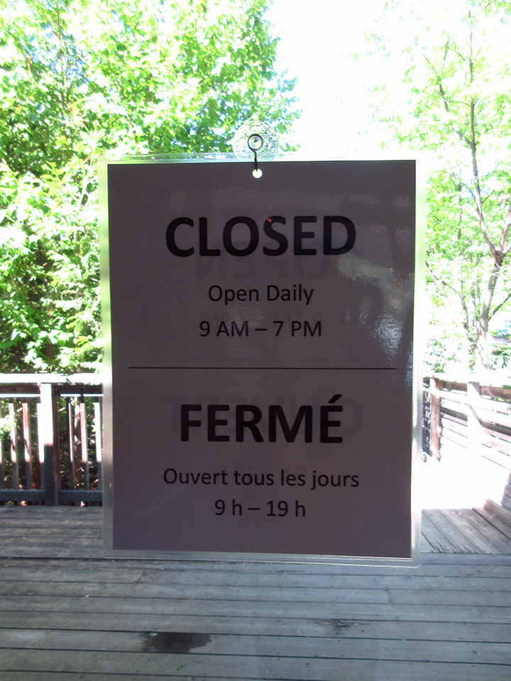
The store and Visitor Center is open from 9 a.m. to 7 p.m. daily.
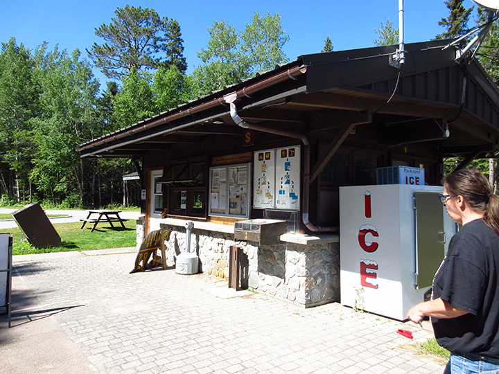
The Visitor Center had an exhibit on the right and a kiosk on the left. We went to the kiosk to inquire about where to register. The staff there were super friendly and helpful. They let us know that we could register at the gatehouse which was just on the other side of the parking lot.
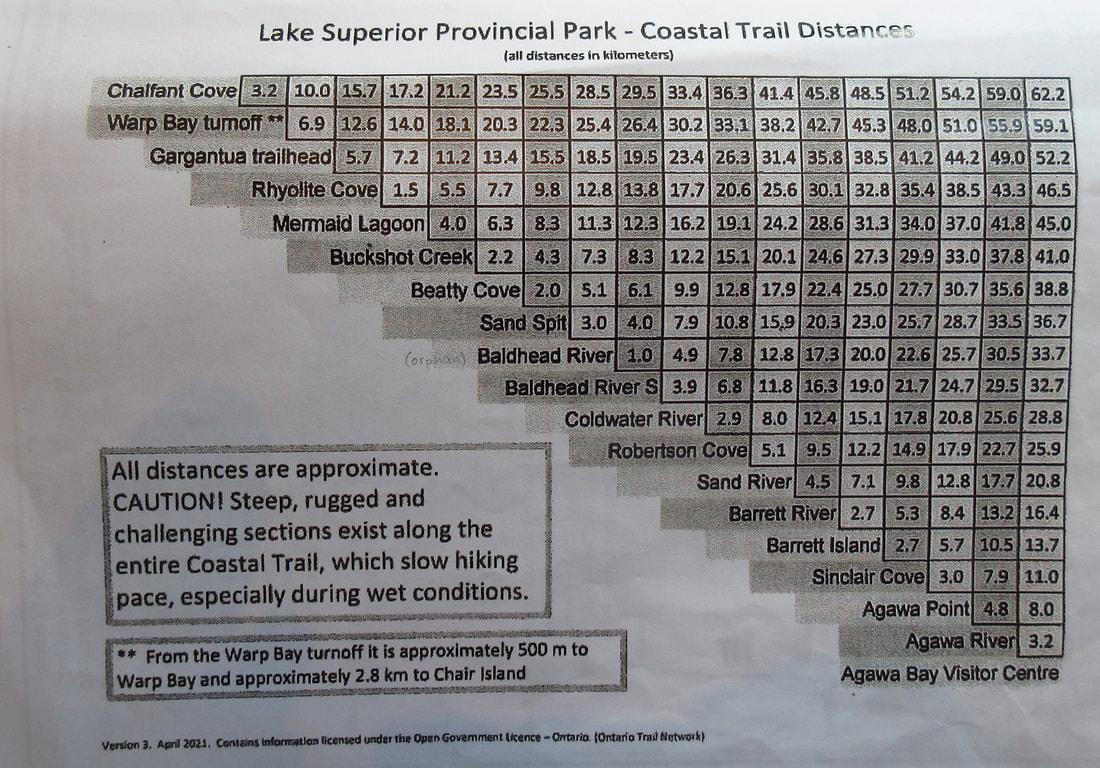
One of the biggest problems I had when booking this trip was that I could not find the distances between the campsites along the Coastal Trail. This meant that I was blindly charting a course for us, not knowing of we were travelling 2 km a day or 20 km a day. I had tried to book sites that were close to one another just in case. However, some sites were already booked up so I had to take what I could get. While we were at the kiosk, we asked if they knew the distances between the sites.
The young lady handed us a photocopied chart and helped us to figure out some of the distances. She said that they were working on getting the distances published online for people but that they didn't have them posted yet. We were grateful to have a copy of the chart. At least now we had something to work with.
The young lady handed us a photocopied chart and helped us to figure out some of the distances. She said that they were working on getting the distances published online for people but that they didn't have them posted yet. We were grateful to have a copy of the chart. At least now we had something to work with.
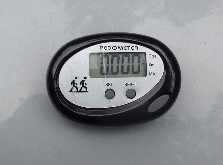
Knowing that there were no posted distances, I had purchased a pedometer before the trip in order to hopefully find out the distances on my own and post them to help out other people. I was interested to see if what my pedometer said would match what was on the chart.
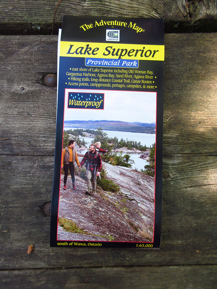
They directed us to the next room, where the park store was, to buy a waterproof map. The map was about $15.
The store was filled with souvenirs, art work, clothing, snacks, and a few camping supplies. I was able to get my sticker for my Ontario Parks Passport Book.
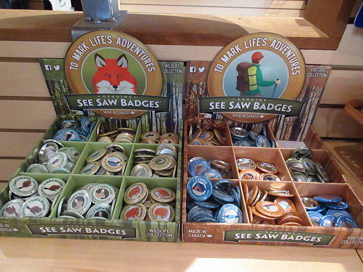
A cute thing they had this year were little "See Saw" badges for kids. If you saw a beaver, for example, you could buy a little badge that said "I saw beaver" on it. I am sure that little kids would love these.
After leaving the store we headed over to the gatehouse to check in for our stay. The staff here were also super friendly.
We got a brochure with a map of the campsites in it and the permits for the car and the post at the site. There were a number of one way roads in the campground so we actually had to do a figure 8 to get to our site.
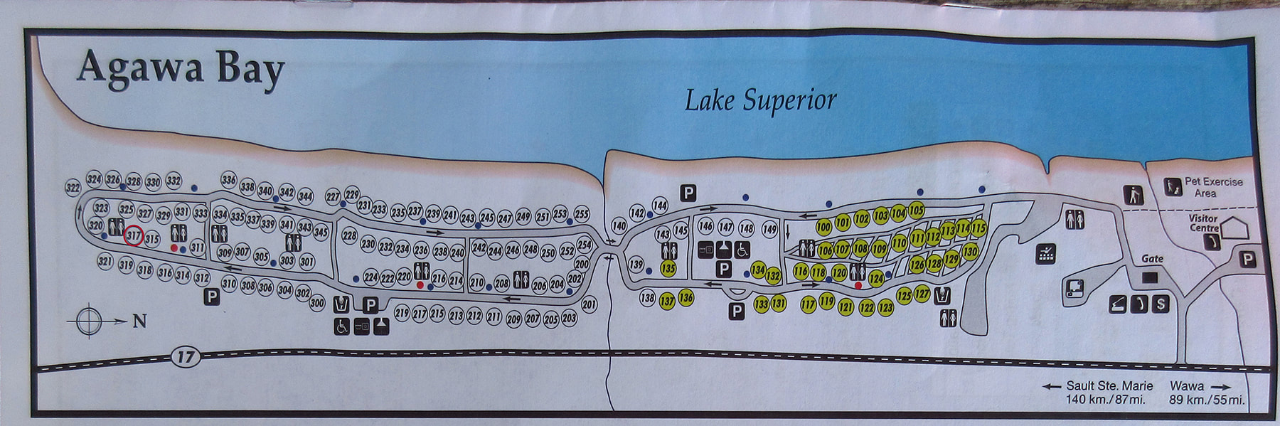
We were site number 317. It was way down at the other end of the campground and was not on the waterfront. When I went to book the site, there were not many choices left for this day. However, on the last night of our stay I was able to book one that was close to the beach.
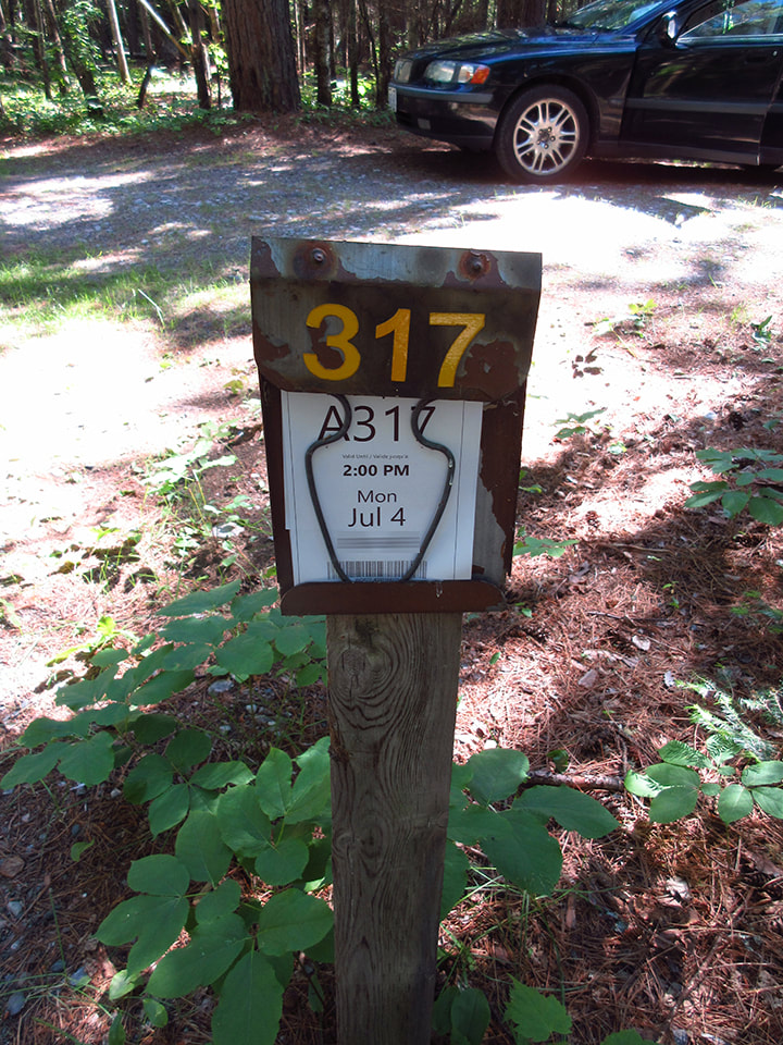
Site 317 was pretty shadey which made it a bit chilly and it also meant there were more bugs. We usually went backpacking in August when there were fewer bugs, so we knew that we were going to have to endure more mosquitoes than we usually do on this trip.
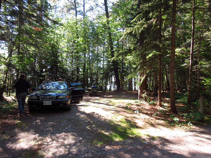
The sites in the park are quite spacious. There was plenty of room for the large tent we set up and then some.
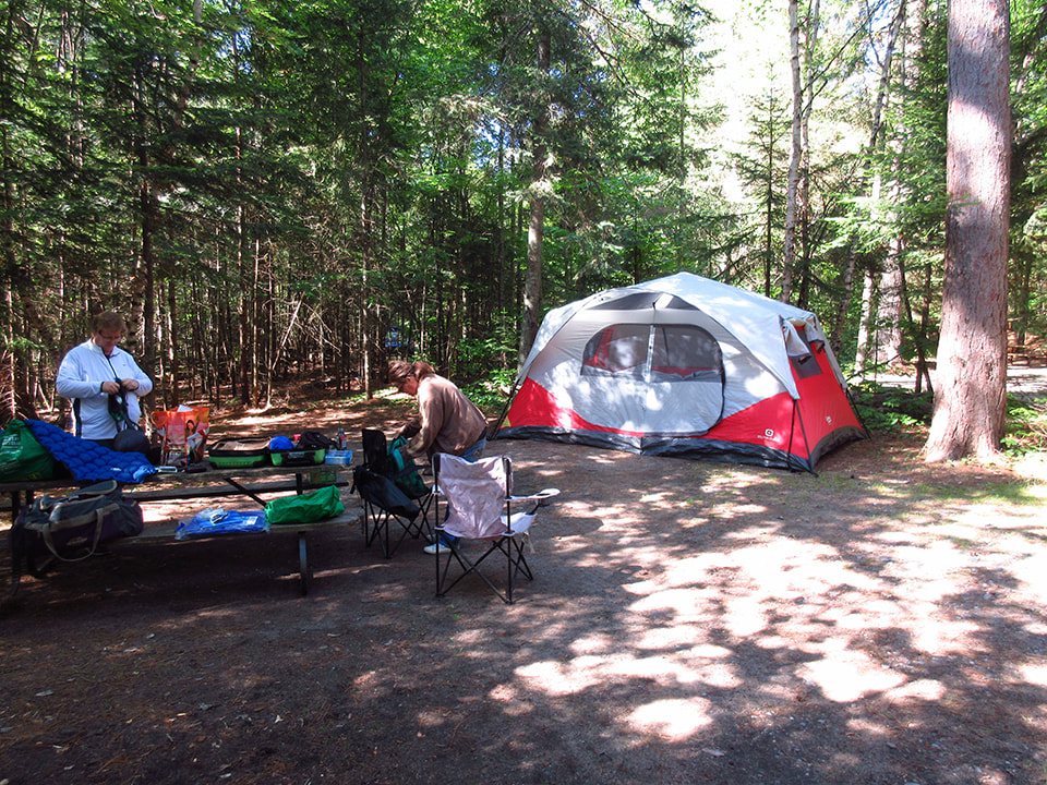
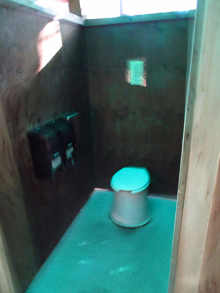
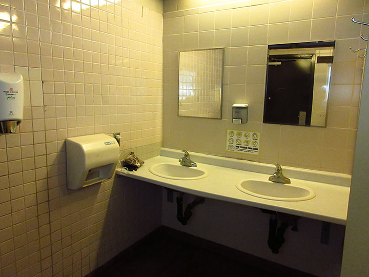
Our site was very close to the bathroom. We noticed that the park had plenty of bathrooms. You never had to go far to get to one.
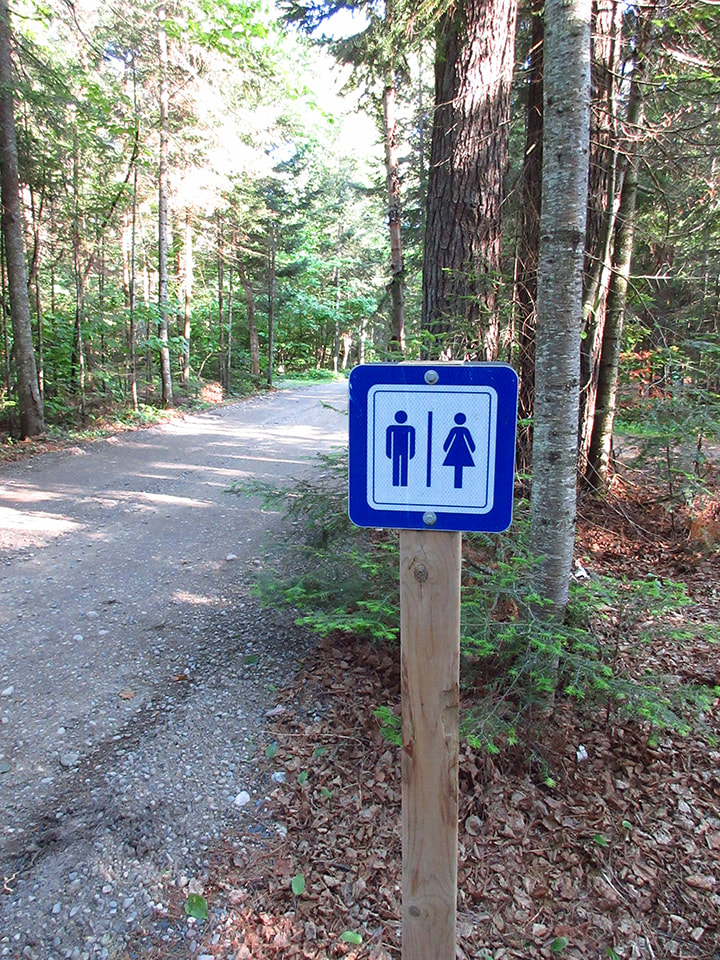
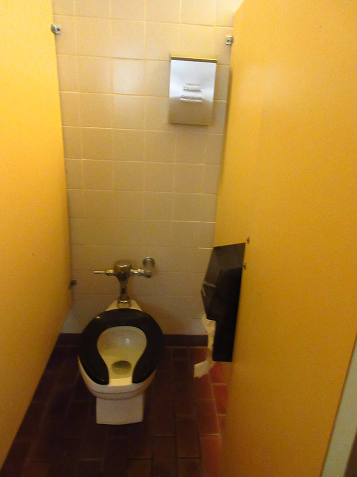
The bathrooms were the non-flushing, out house style bathrooms. But they were very clean and well swept out and did not have an overpowering odor that you sometimes get. There was a soap dispenser at the sink.
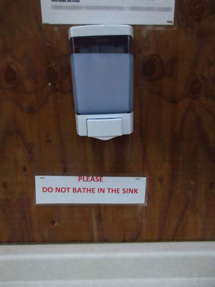
I noticed a sign that said "Please do not bathe in the sink". This made me chuckle a little as I pictured a bunch of grown adults sitting in sinks trying to take a bath. (I know this is not how it would take place , but the thought of it amused me). I guess with COVID they were not allowed to have the showers open so people were resorting to the sinks to keep clean I suppose.
I noticed a sign that said "Please do not bathe in the sink". This made me chuckle a little as I pictured a bunch of grown adults sitting in sinks trying to take a bath. (I know this is not how it would take place , but the thought of it amused me). I guess with COVID they were not allowed to have the showers open so people were resorting to the sinks to keep clean I suppose.
 |  |
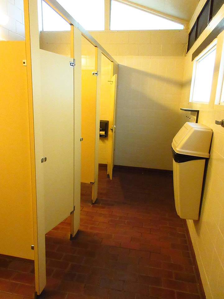
The comfort stations were small but they too were very clean and very well kept. I saw the staff go to clean them multiple times a day throughout our stay. This park was well looked after.
 |  |
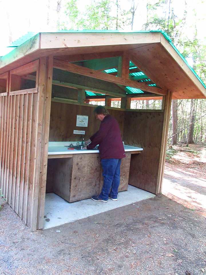
We ate dinner, which were sub sandwiches that we had bought along the way on our drive here. After dinner we cleaned up our coffee mugs at one of the Dishwashing Stations that were provided throughout the park.
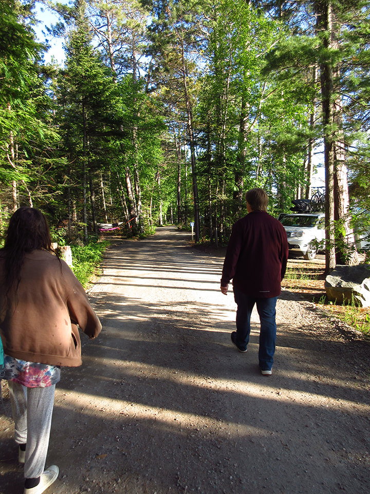
After that we decided to go for a walk to see a bit of the park and to take a look at the site that we would be on once we got out of the back country after our backpacking trip. The roads were wide enough and well maintained.
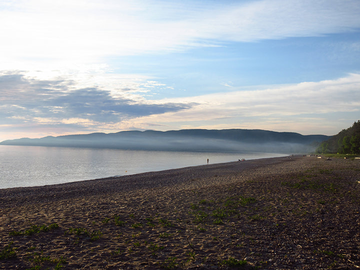
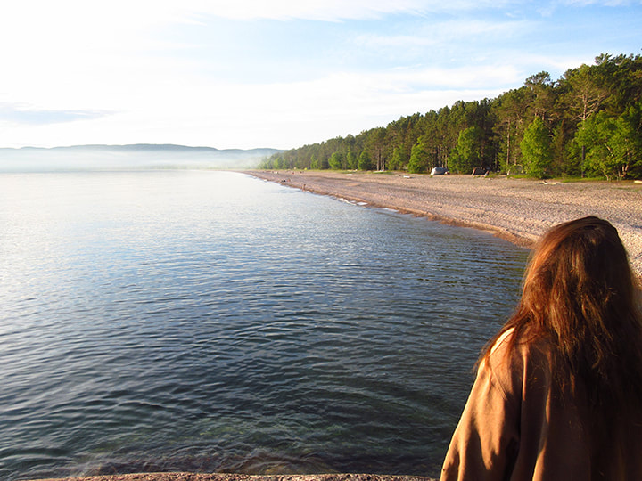
We walked down to the beach. It was partly sandy, partly grassy and partly rocky. It's a very large lake and the water is very clear. There were benches here and there to sit on.
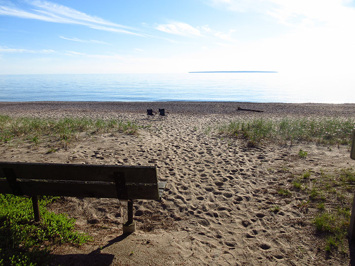
To the left you could see the hills in the far distance along the shoreline.
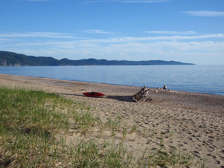
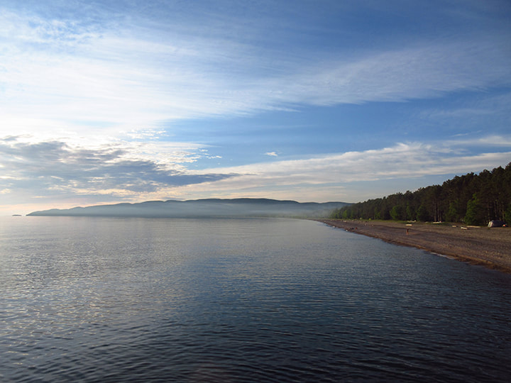
And to the right you could see that the beach went on and on with more rolling hills in the distance.
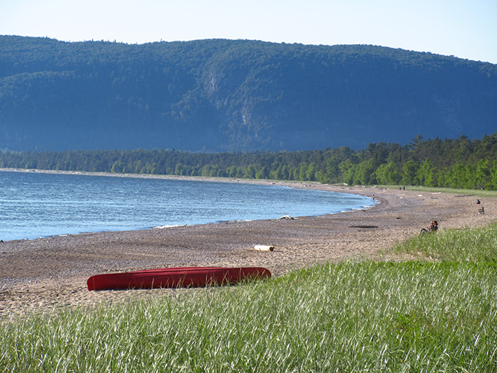
The waves lapped up on the shores and made a relaxing sound. It was all very beautiful.
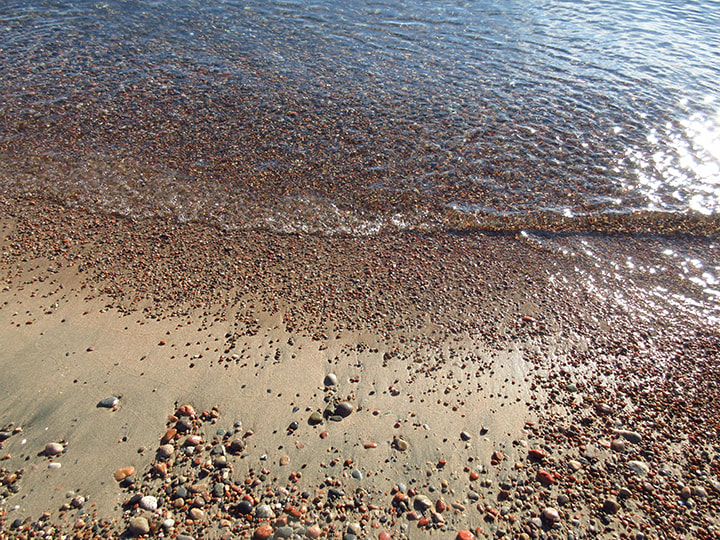
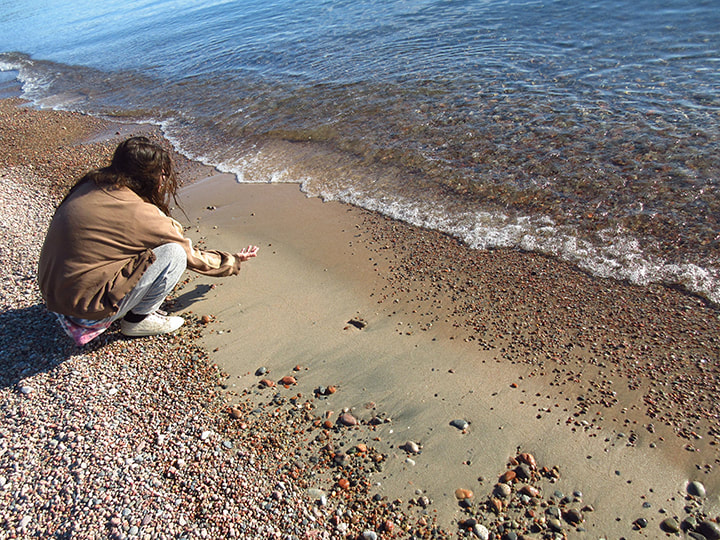
There were so many pretty rocks on the beach. We spent some time combing through them and looking for some unique and unusual ones.
Eventually we noticed that we were beginning to lose sunlight and that soon the sun would be going down so we started to head back to camp.
At the far end of the park, close to our campsite there was a large rock formation that we decided to climb.
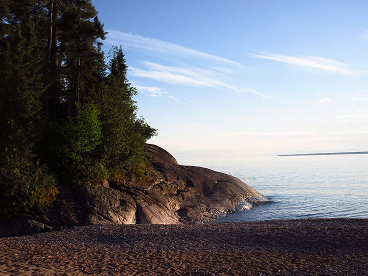
From on top of the rocks we could get a good view of the area.
And we could see the smoke from people's campfires in the distance, wafting out across the lake. .
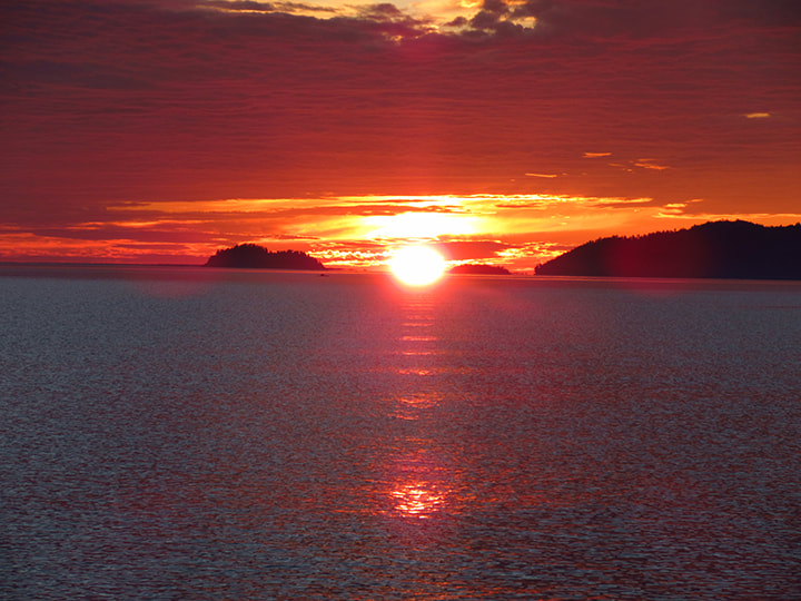
It wasn't long before the sun started to set.
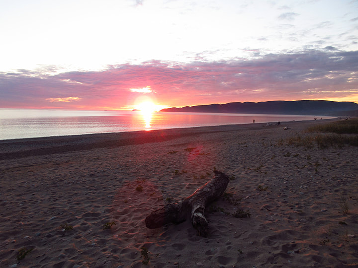
And it turned the sky into a gorgeous explosion of oranges and reds that bounced off the water of the lake.
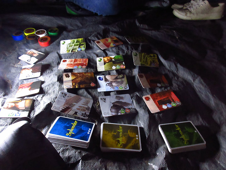
When we got back to camp we got ready for bed nd went into the tent to escape the mosquitoes and the chill in the air. We played game of Splendor before turning in for the night. '
It was about 10 p.m. when we finally went to sleep. I could hear the sounds of traffic going by on the highway. It was not ideal, but then, I could also hear the sounds of the loons calling from the lake as well as the waves crashing on the shore. So I took the good with the bad. I knew that tomorrow night we would be too far away from the highway to her traffic. I went to sleep dreaming of the peaceful nights ahead on the Coastal Trail.
It was about 10 p.m. when we finally went to sleep. I could hear the sounds of traffic going by on the highway. It was not ideal, but then, I could also hear the sounds of the loons calling from the lake as well as the waves crashing on the shore. So I took the good with the bad. I knew that tomorrow night we would be too far away from the highway to her traffic. I went to sleep dreaming of the peaceful nights ahead on the Coastal Trail.
 RSS Feed